
10/12: 17.9 mi (2608.8 – 2626.7)
A gloriously warm night’s sleep was had by all. From the comfort of our motel room, we could hear the roar of the wind and were grateful for my dad’s foresight.
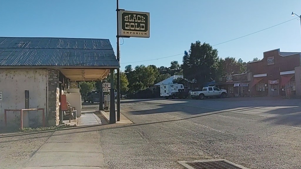
We drove back into “down-town” Reserve to have a hot breakfast and to complete our resupply shopping. Once completed, we returned to our motel room and packed up. I think we were stalling, as the air temperature was bitter cold and the wind was still gusting.


With rain jackets on to cut the brisk wind, we finally set out. The day was to be filled with my favorite type of hiking…uphill. Hence, I started in a really good mood…NOT. It did not help that it was bitter cold. In fact, we got rained on. Snowed on. Partially “sunned” on. And, “gusted” upon by bone chilling wind. I can’t remember being this cold, in a long time. Stopping to rest was futile as it only served to allow the cold to “catch up”, and your extremities to become numb again.


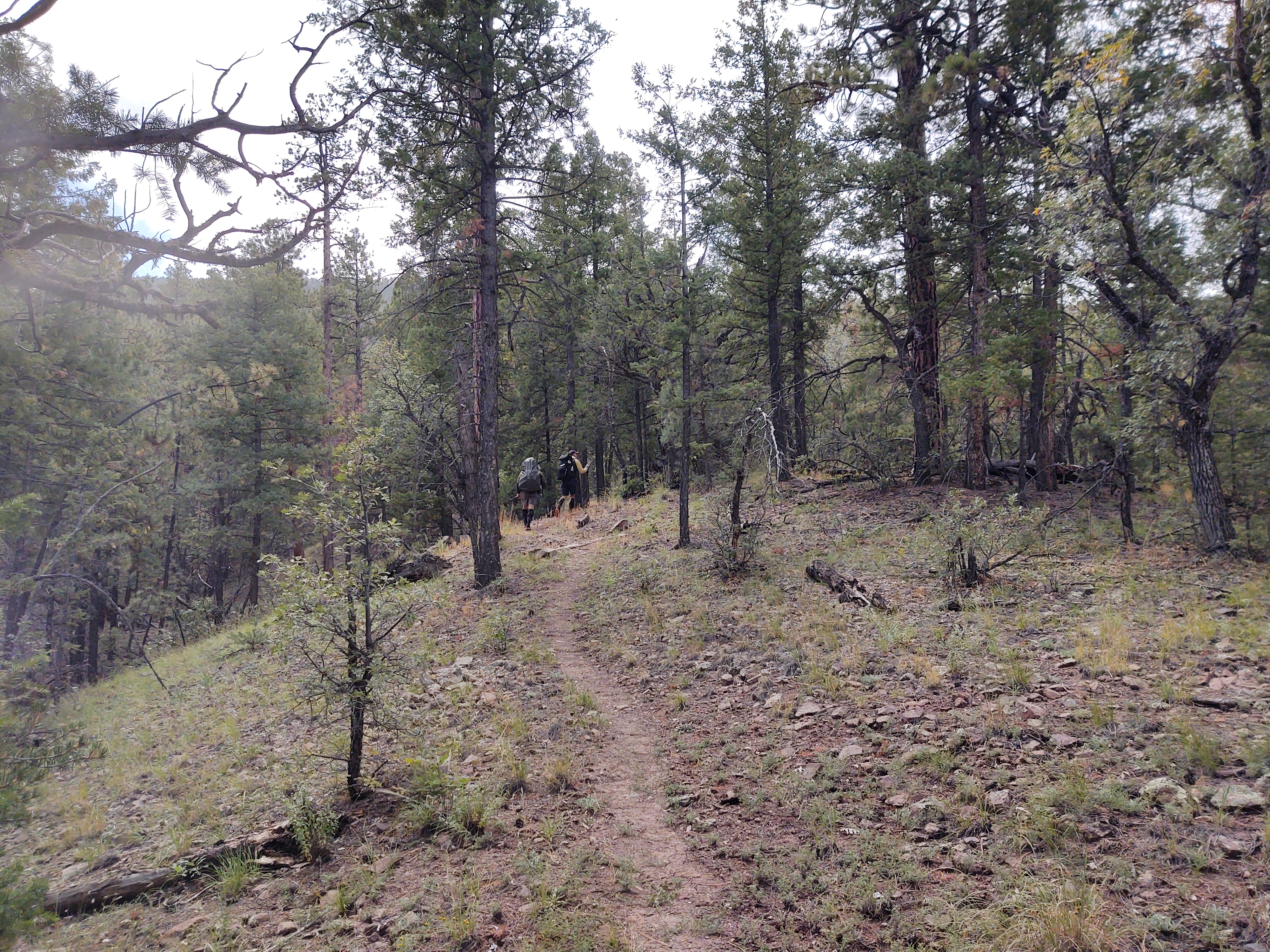
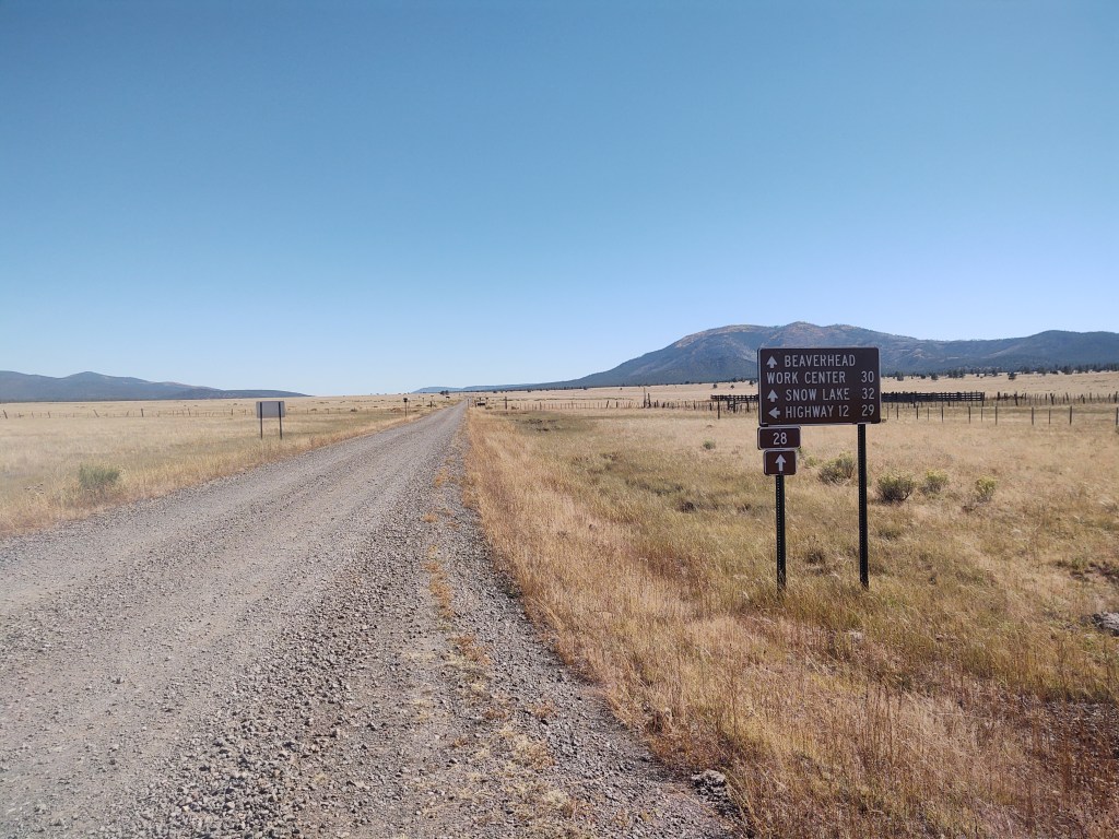
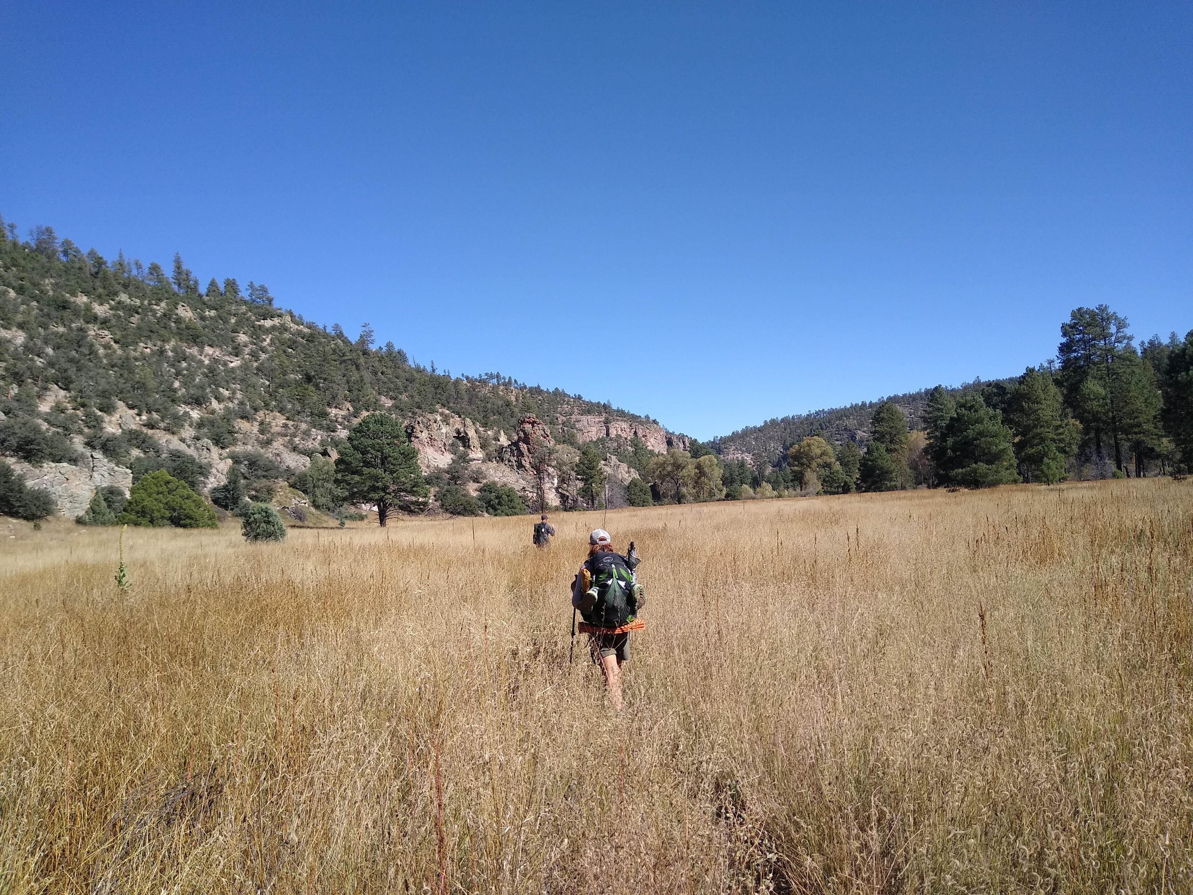
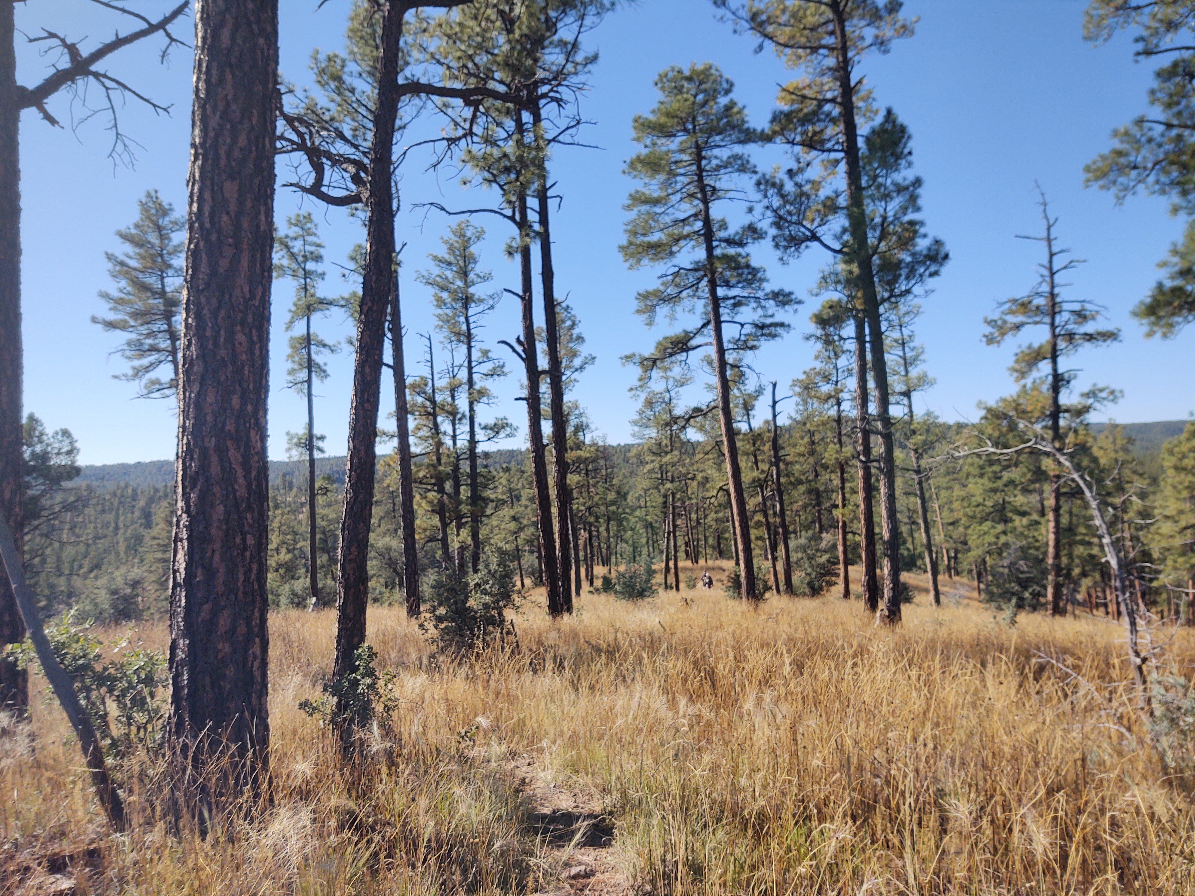
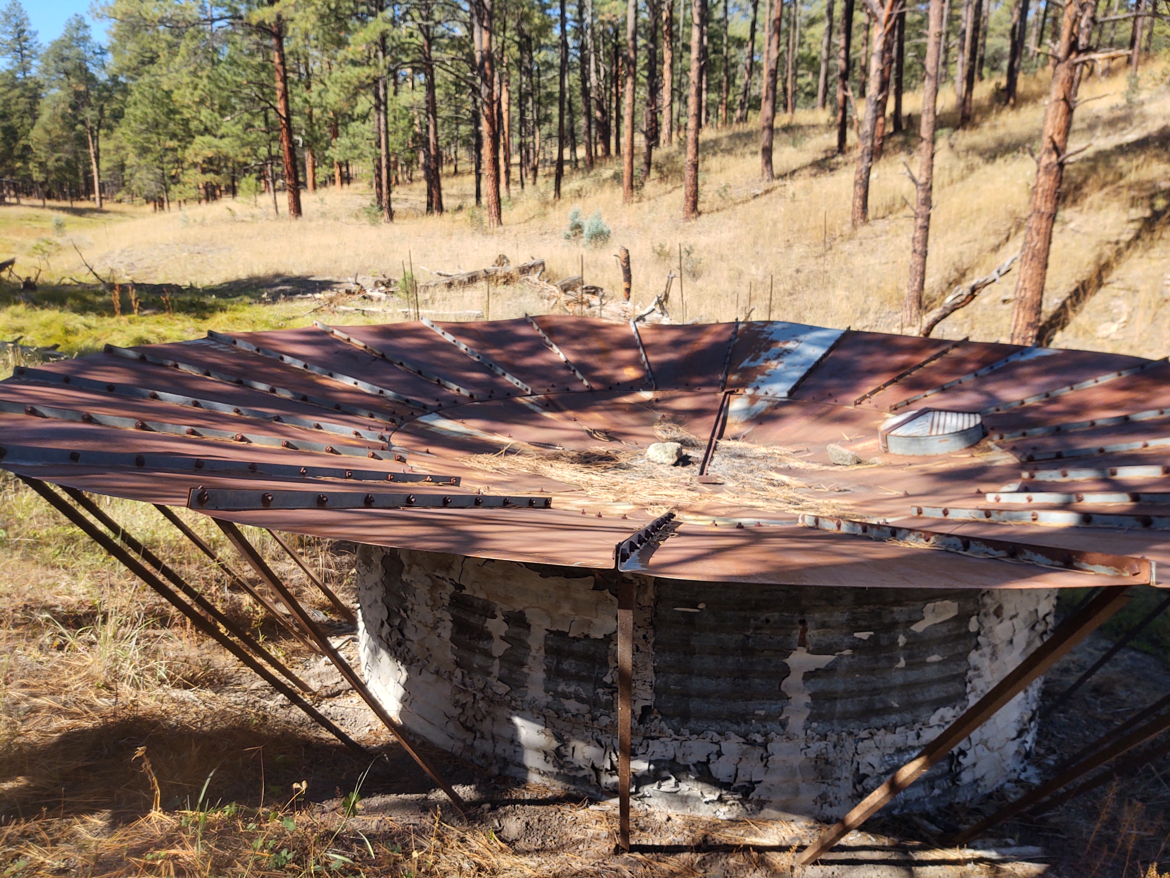
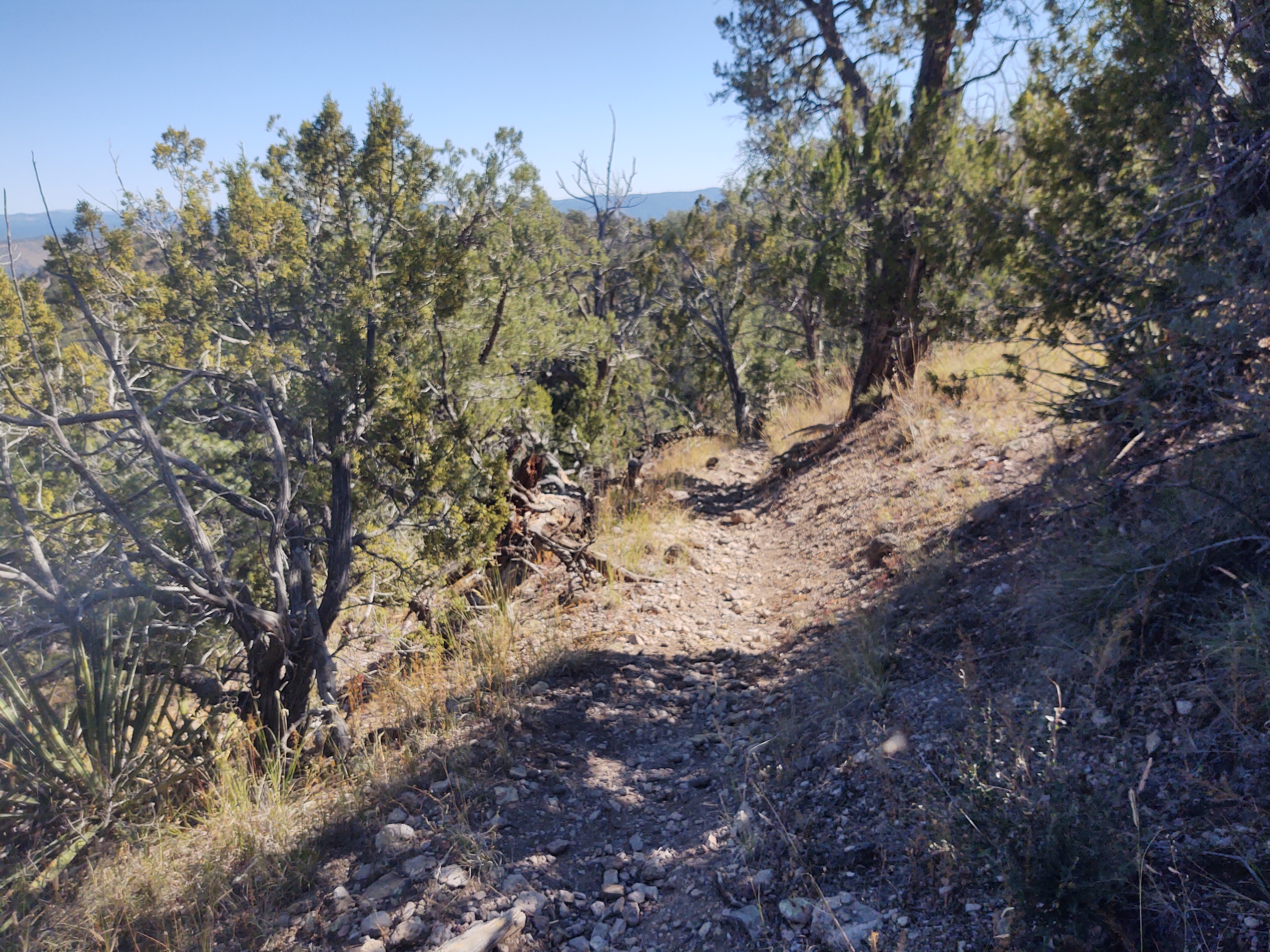
Much of the trail weaved through ponderosa pines and scrub oak, along fence lines and through tall golden grass that more often than not, hide the trail from our view. In many places, the redline of the Guthook app did not follow the only viable path. Hence, we took the trodden path, rather than stomp out a “non-existent” redline.

Water was, for the most part, non-existent. This necessitated a heavy water, as we were not confident that we would be able to collect water before a reliable spring the following day. However, we were able to collect water at a seep/spring that once you dug a bit of a hole in the gravely sand you could collect cool, clear water.
This enabled us to walk a bit further, and camp in a flat section away from moisture and out of the wind…hopefully. It was supposed to get down to 21 for the night. By 7:30 pm you could see your breath. Tonight, we will wear EVERYTHING!
10/13: 22.7 mi (2226.7 – 2631.1/ 105 – 86.7 Gila River Alternate)
It was definitely COLD last night. A later start to the morning was required, and a pace as brisk as the morning air was required to retain warmth. The good part, was that the wind had ceased, the day would warm, and we would eventually drop lower in elevation.
But, not without stomping upon ice crusted vegetation and climbing 1800 ft up to 9650 ft. After that, we could head downand to the start of the Gila River Alternate.
Whether one is to continue on the “pink line” (aka Gila River Alternate) or the “redline” (CDT designated route) you had to water up at the Dutchman Spring. For us, this was along the way. From here we would have a 27 mile carry before being able to access ANY additional water. As it was mostly a road walk, audio “heroine” and zombie walk were employed to pass the time and the miles.
As we were marching out our final miles for the day, I pulled on the right shoulder strap to adjust my shoulder strap and pack, and it broke. Not like how the previous packs’ strap(s) broke (from the material becoming worn) but the plastic “ching-gasa”…technical term, snapped in two. This rendered the shoulder strap useless. A hasty search for a campsite ensued. Some type of McGyver fix would have to be employed to be able to continue on in the morning, and I don’t think that a needle and thread will be the fix.
10/14: 22.2 mi (86.7 – 64.5 Gila Alternate)
Numerous configurations were tried to reattach my packs’ shoulder strap. One finally worked. It involved the employment of two small carabineers that I had in my pack. One was taken from the throw bag to hang my food bag, and the other for dangling my pee rag (to dry/air out) from my pack. As I use the Kula Cloth, and they have a snapping loop, the carabineers was really not necessary…just a convenience for “quick release”. And, Wa-La, back in action. This also meant no more having to adjust the pack strap. In all reality, it now fit perfectly. (When I finish the trail, I will be mailing my pack(s) to Osprey to be repaired or replaced. They have a Lifetime guarantee)

With the morning road walks it is easy to miss a turn. And, that we did. 2 miles of unnecessary road walking, made for four additional miles. Unless, of course, we bushwhack.


Oh yes, we bushwhacked alright. Over hill and dale. Through crunchy grass that bore into one’s socks and hid ankle busting holes and uneven terrain. I doubt that it saved any miles or effort for that matter, but it did lead us over pristine terrain and in view of a herd of elk. TOTALLY worth it!…in the end.


We would drop into the Gila River drainage and after descending from Snow Lake, we would begin the counting of crossings that we would make of the Gila River Alternate to Doc Campbell’s. As we dropped down into the river bed after Snow Lake, Jan got his rattle snake “wish”. Although it was “hidden” in the grass next to the trail, he could see it and hear its fierce rattling.
While at the Toaster House, Jan and I got the brilliant idea to take a pair of “water shoes” from the wall-o-shoes. The idea was to keep our actual hiking shoes dry and maybe help them last to the end of the trail. In theory, this worked. Just before we began, what was to be 53 water crossings for the day, we put on those shoes, and stomped it out.
The shoes however, did not save us from the cold, or the pokey plants that left stickers imbedded in our socks, shorts and shirts. It also didn’t save me from being scratched by poison oak. A rash began almost immediately. Of note, crossing #30 was hip to waist deep, thanks to some over-achieving beavers in the area.


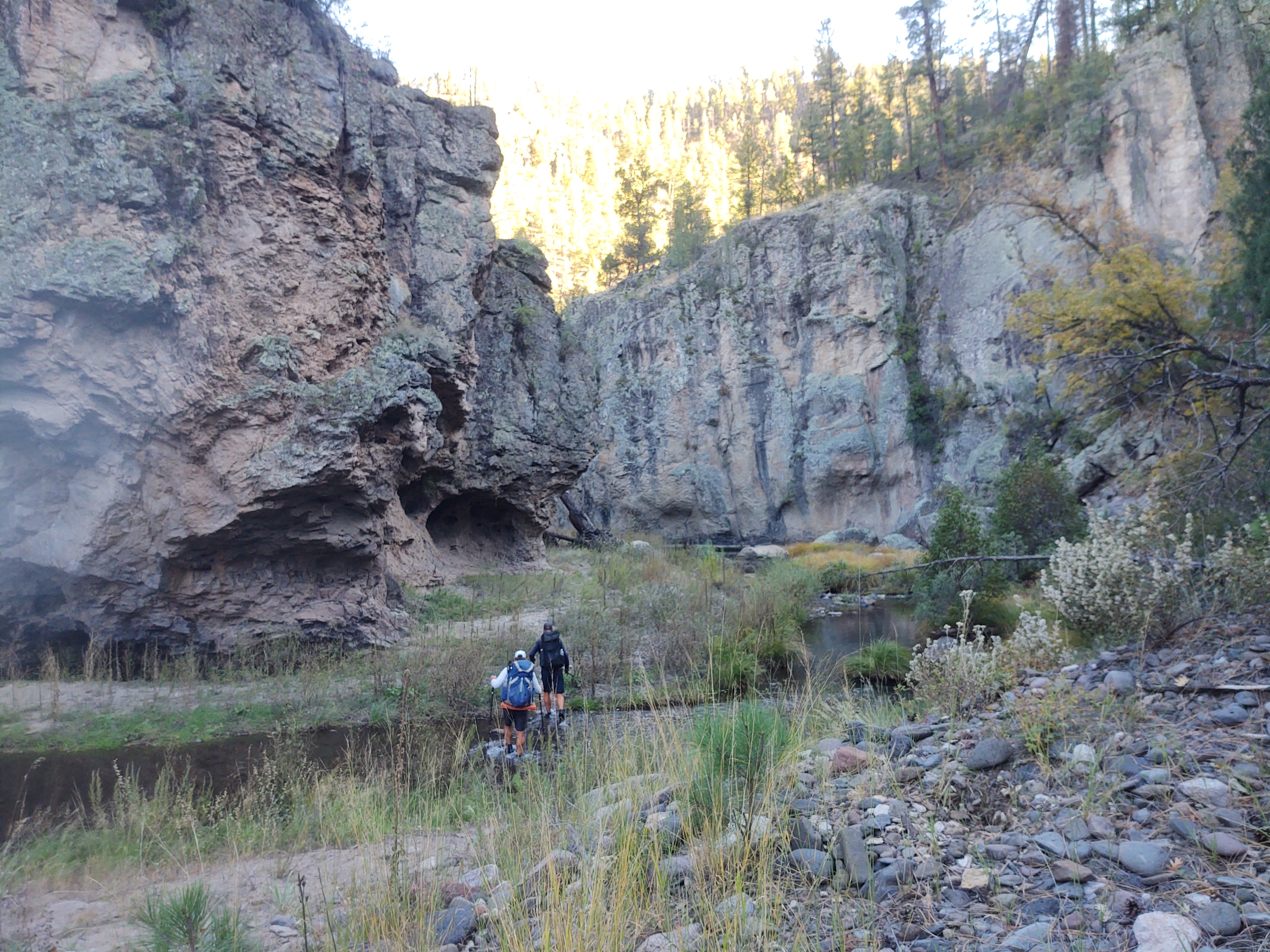
By the time we got to crossing #53, the sun had set enough to dim the canyon lighting, and to drop the temperature significantly. It wasn’t until crossing #53, though, that we found an acceptable place to camp. Because we were in a narrow canyon, this was going to be the case every evening, and every morning would require a late(r) start to be able to navigate the river crossing safely in appropriate daylight and “warmth”. There was supposed to be two more days of this. An alternative plan was hatched, just in case the morning was unbearable and not worth repeating again, and again.
10/15: 17.5 mi (64.5 – 62.9 Gila Alternate / 3mi “green route” / 12.9 – mile 40.9 Gila Alternate)
As we expected, the canyon temperatures plummeted overnight. While this would have been a relief for the NOBOs, it was just damn uncomfortable for us SOBOs. Ice crystals coated the inside of our tent’s fly, and our sleeping bags were wet. No amount of coffee or HoneyBuns could warm us sufficiently, especially knowing what awaited us.

As it was, we had to wait for the sun to rise, so that we could safely navigate the river crossings, and avoid slipping on ice crusted rocks. In order to thaw out our shoes and make them malleable enough to put on, we had to dunk them in the icy cold river.
All vegetation was frosted and crunched under our frozen feet as we trudged along like “extras” from the Walking Dead. In-between river crossings, many of which were now thigh deep, thorny bushes that reached into the trail tugged on our clothes and exposed skin. Within 1.6 miles we had made 19 river crossings. The last one being more of a silty muddy bog variety. And with that, we were done. We had had enough of the frigid water and frozen shoes. We were so cold that, shivering was near useless. 42.1 miles of this was enough. We got the picture, now it was time to get warm and dry. But, not without one more crossing that left us wet up to our waists. In total, we had crossed the Gila River 72 times, all of it unpleasant. Fall is NOT the time to do this…and enjoy it. If we were NOBO in mid May or early June this might have been refreshing. Late October was just painful. My feet were so numb, it was like walking on stiltz. Plan “B” was enacted. We would cut out at mile 62.9 and take the 3 mile “green” alternate up to the Gila River High Route Alternate.


After 3 mi we reached the High Route and traded out our wet shoes for dry socks and shoes…and a snack.
Once at the High Route we continued till it ended at a road near the TJ corral. As we descended to the road, we spied a pack of javelinas (small hairy pigs) file across the bridge below, and passed a troop of heavily laden kids on their way for an “enjoyable” weekend. These kids were the “outward bound” variety that obviously were not inspired to backpack. Who wouldn’t, with those massive packs and an obvious assortment of unnecessary gear. We felt sorry for them, and wondered what they had done to be “sentenced” to what looked to be a miserable experience. If you wanted to turn kids off to backpacking or the outdoors, this would have been a perfect example of how to do it.


By the time we reached the road that would lead to Doc Campbell’s Post (5 miles away), we had only a couple of sips of water left. We looked in earnest for a water spigot by the horse corral, to no avail. We did, however, yogi some Gatorade from the Ranger that was going off-duty…and a ride from the visitor center volunteers (once they changed out of their uniforms and retrieved their personal vehicle).
When we arrived at Doc Campbell’s we were met by Jan (who marched ahead because he was nearly out of food) and Turbo Jesus, who were happy to see us. Jan had snacks and a couple of soda waiting for arrival. He also secured the shower room for us to spend the night, and he took the laundry room. Turbo Jesus elected to cowboy camp, as he had planned to leave early the next morning. This meant no tent and a warm place to wake up in!
Tomorrow we take a much needed zero. I do believe hot springs and copious amounts of food will be on the agenda.
