
10/22: 23.5 mi (85.9. – 62.4)
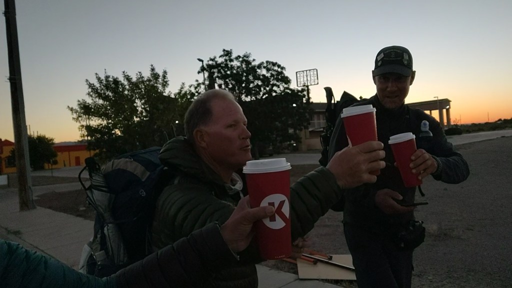
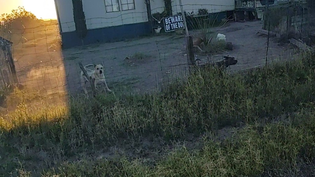
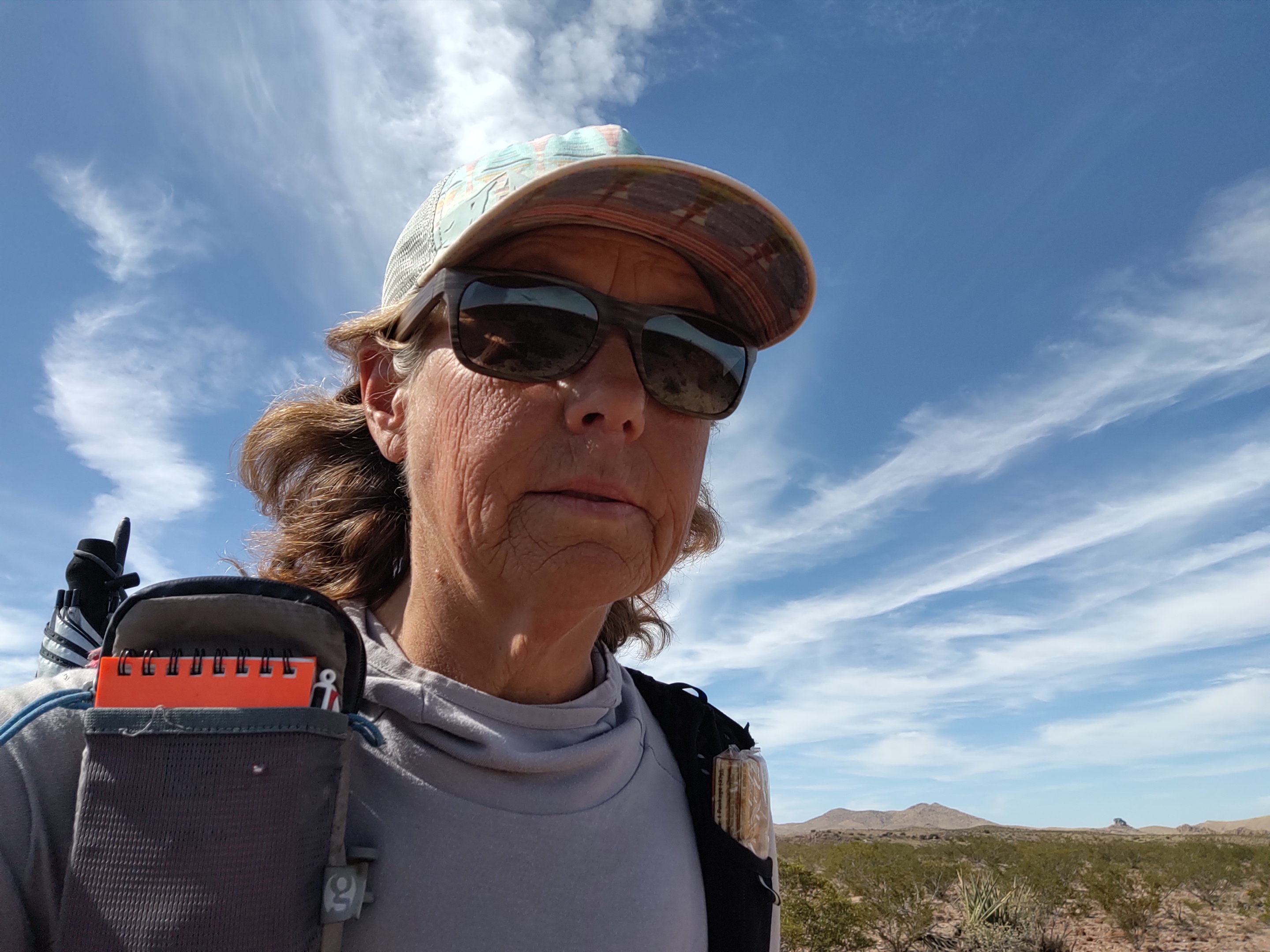
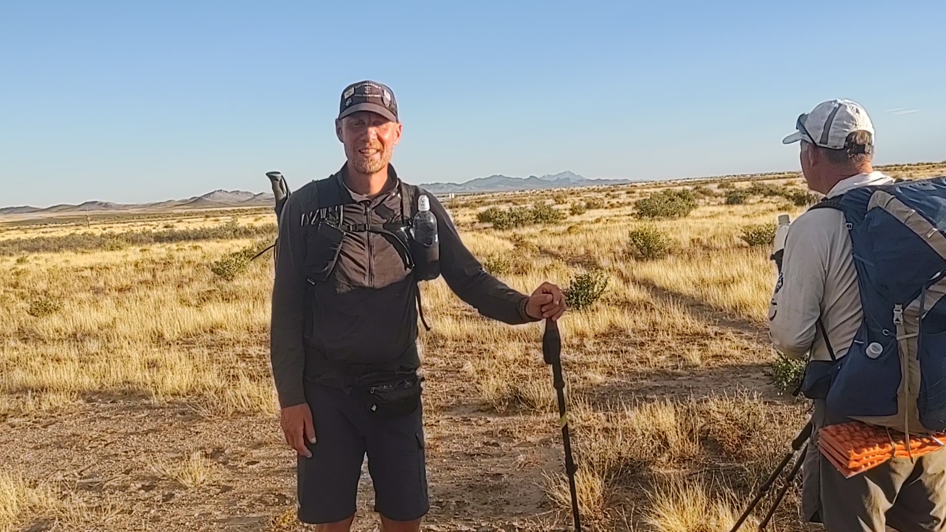
With a giant cup of coffee from Circle K we made our way out of Lordsburg. Today would be the hundred and third day we’ve been on trail since leaving the Canadian Border, at Chief Mountain. Our route takes through a neighborhood where everybody seemed to have a guard dog.
While it’s not really that early in the morning, in some way I kind of feel bad for the dogs setting off the alarm for those who are not “morning people”. The air was crisp but comfortable. The sun was rising on our left shoulder, while the moon, still mostly full, hovered over the top of our right shoulder.
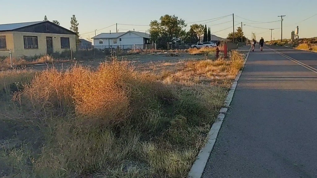
As we passed the last home, and later a now defunct cement factory that made railroad ties, (evidenced by the abandoned stacks and piles), the pavement ended.
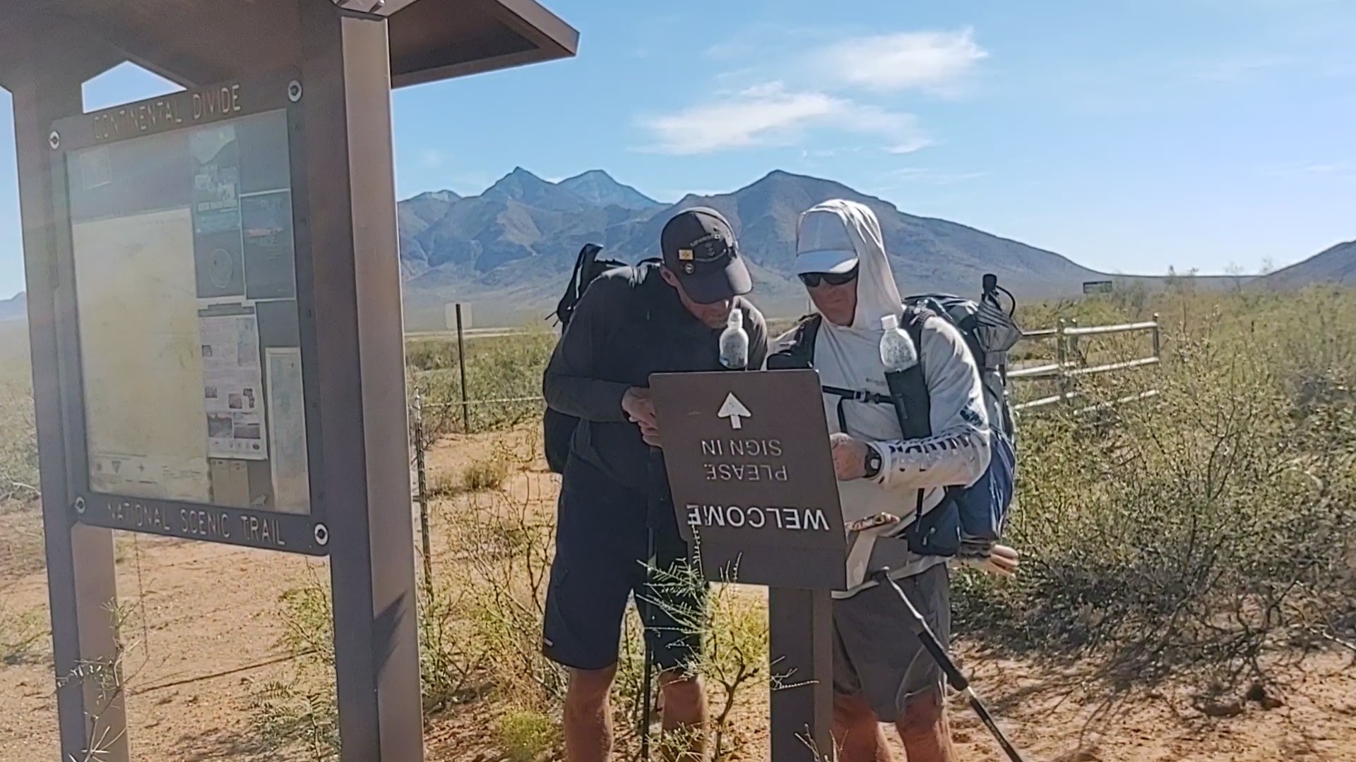
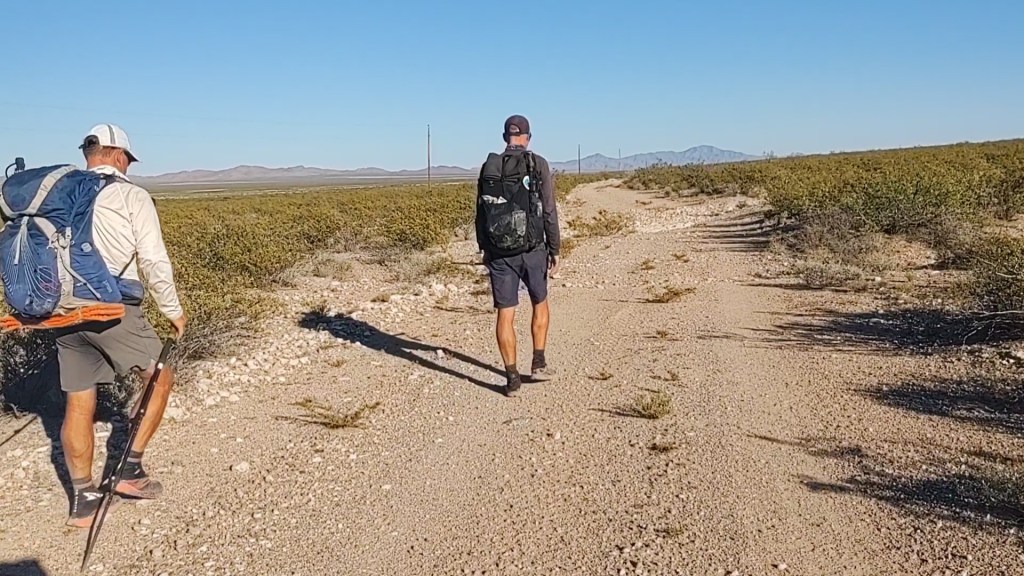
In truth this was our last paved road walk, to which Jan and I exclaimed, “Best road walk Ever!” Packed with 4 days full food and a liter of water, we had 6 miles to the first water cache. And so began our last 84 miles of the CDT.
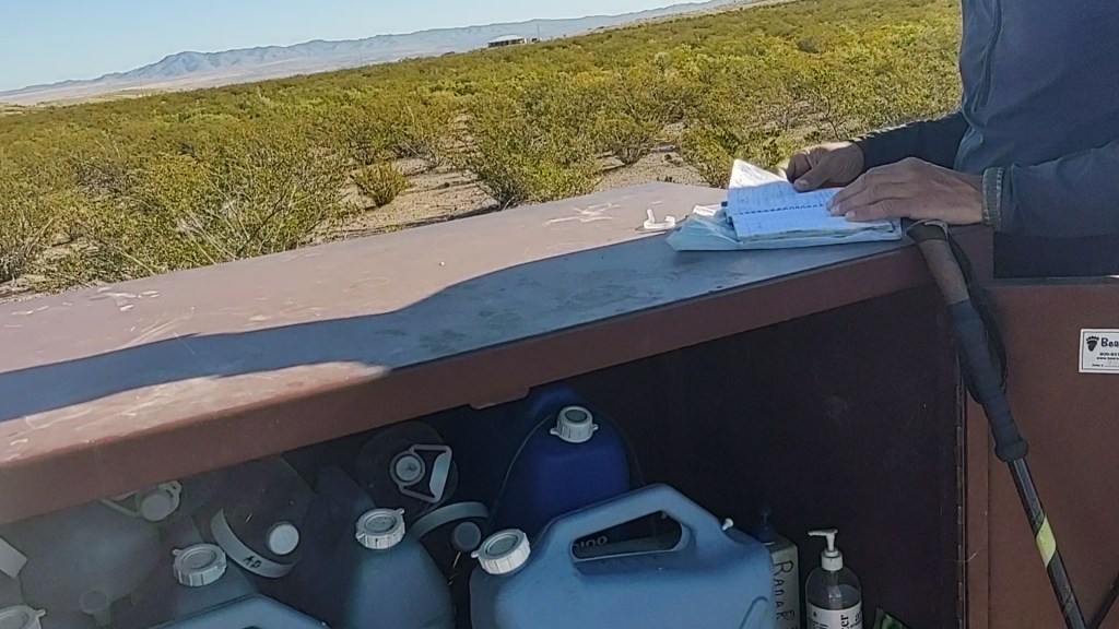
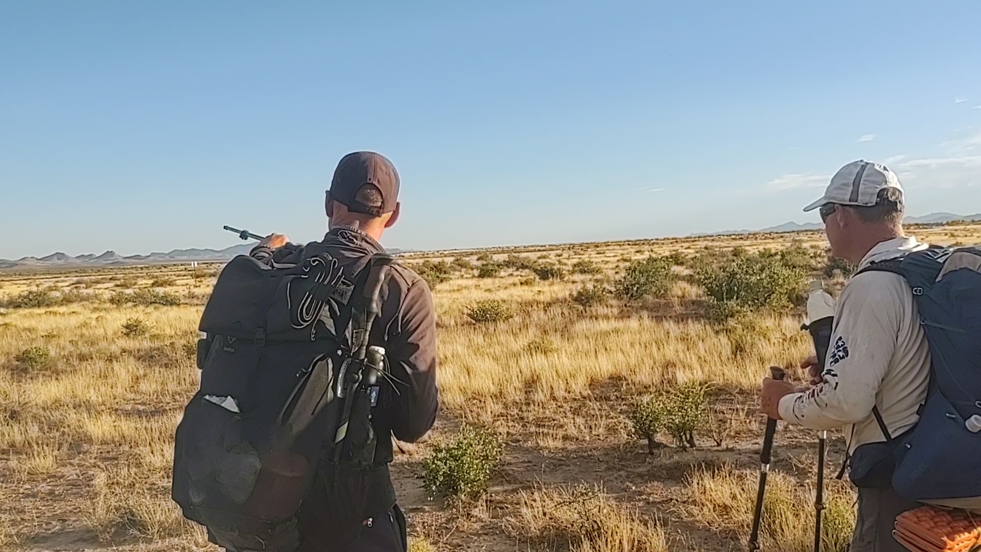
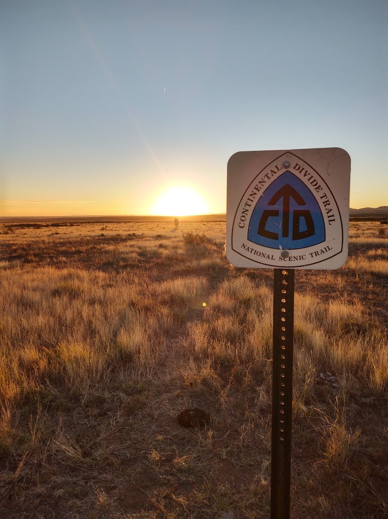
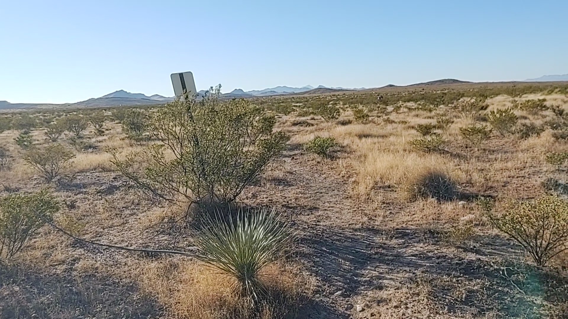
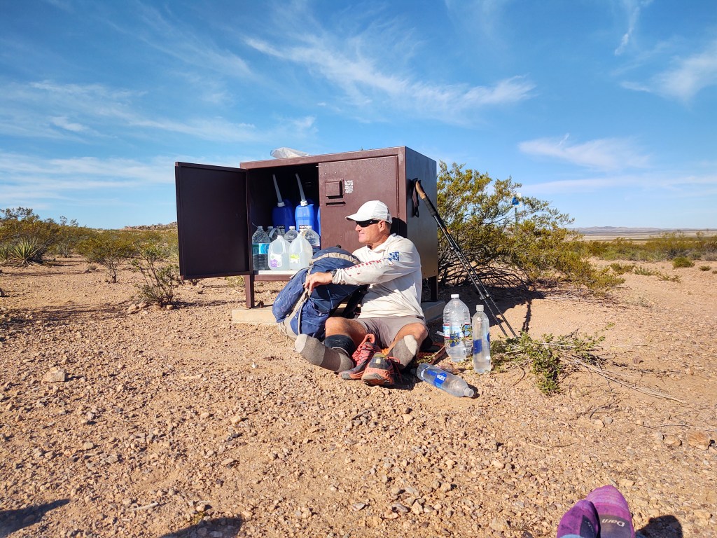
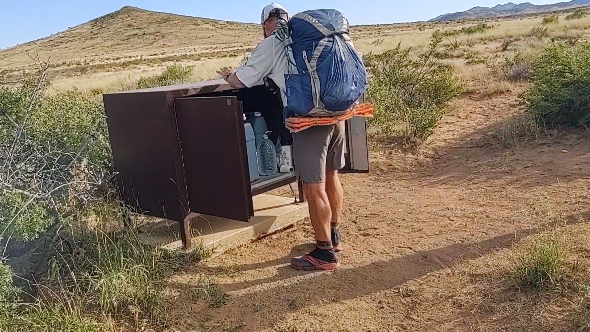
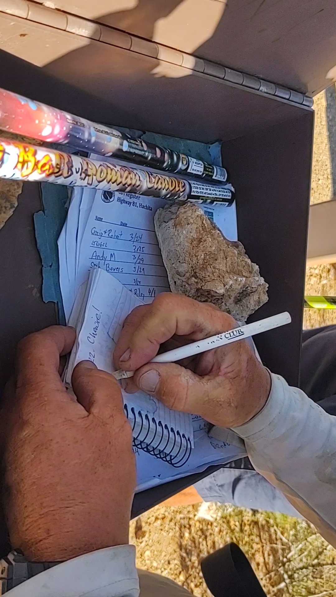
We hit the first cache. It felt monumental. Four more to go, we said, and continued on, carin to carin. For this final section, our carins were not piles of rocks, or even the brown fiberglass bender board with a sticker. These were 12×12 white fiberglass placards with giant CDT stickers…on one side, bolted to the top of a 6ft tall metal bar. These were some serious signs. Only problem, they were oriented for the NOBOs. A blue and white sticker on a 6ft stick rising against a background of green and brown shrubbery stands out quite well.
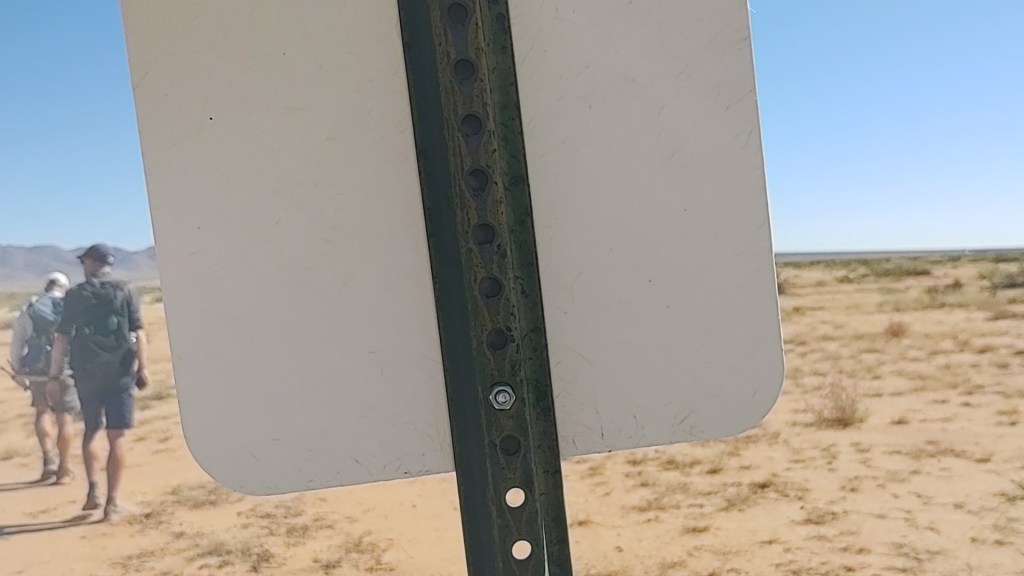
A white square on a stick…with the same background, not so much. We were not surprised by that, considering similar signage ushered you into Lordsburg. They at least, had the courtesy of flipping every other sign to face SOBOs.
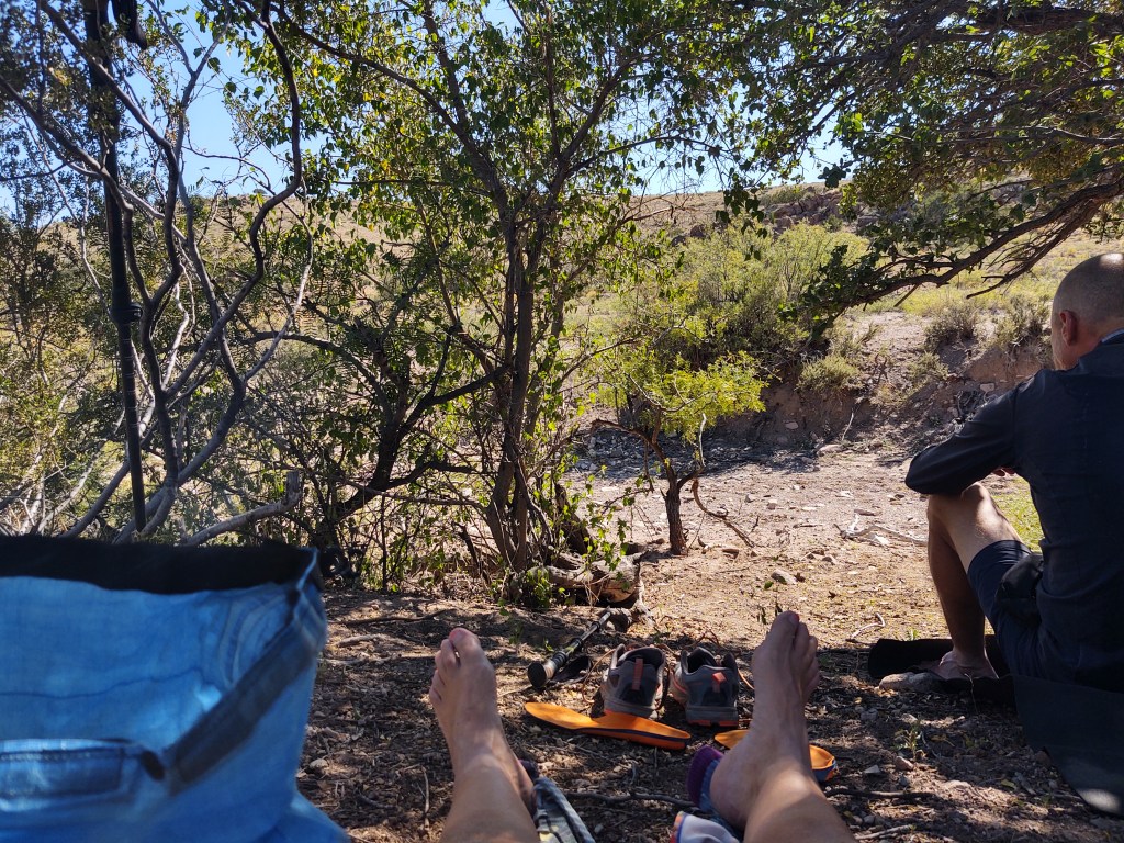
We took our lunch in the shade of a verde tree. We had easily crushed 10 miles and were only trying to do about 20 miles a day. (Namely, because we weren’t being picked up till the 26th.) Even though it wasn’t that hot, it was a nice little break in the shade. We also enjoyed a nice little breeze, and thusly makes walking under the bright sun, not so tough.
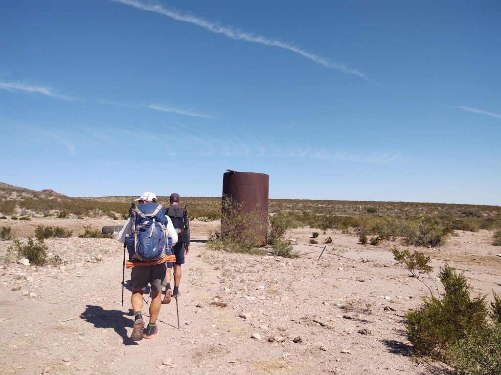
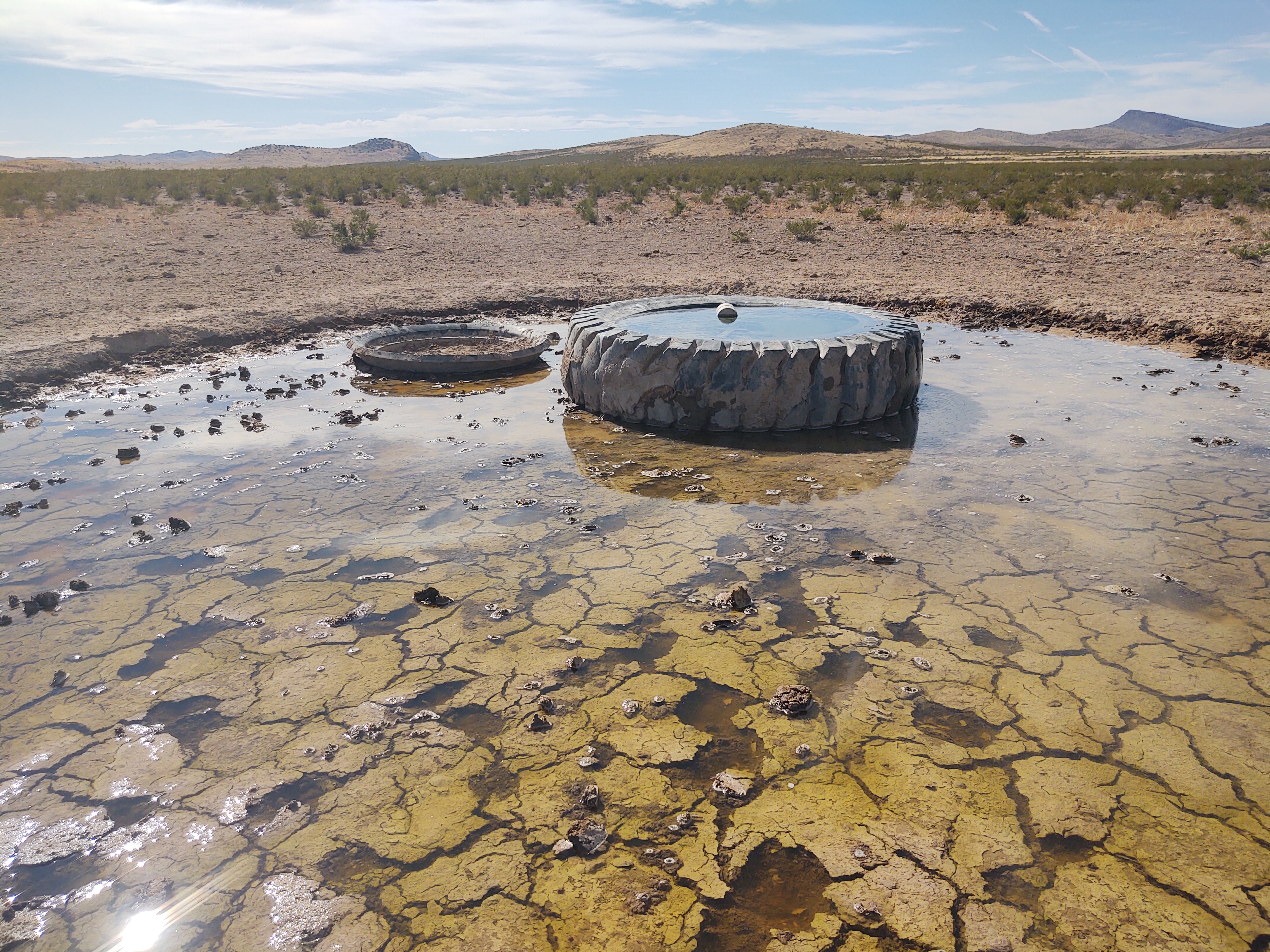
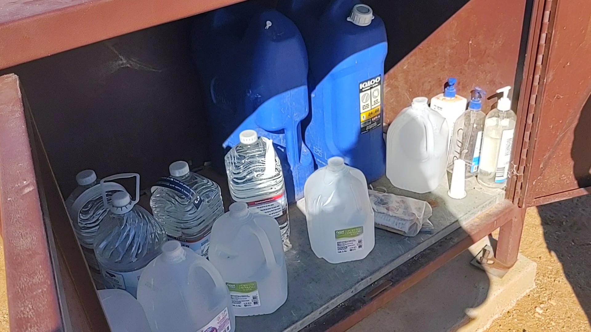
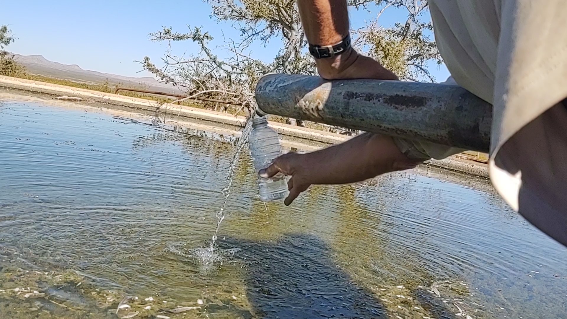
We passed a water tank that was 3/4 of the way full. To fetch water required climbing a rickety ladder lashed to the tank. Once there, you used a bucket on a line in which to retrieve fresh water. Jan declared the water pretty clear, but even so, one should filter…to be safe. We however, were set with water, and knew of another tank along the way.
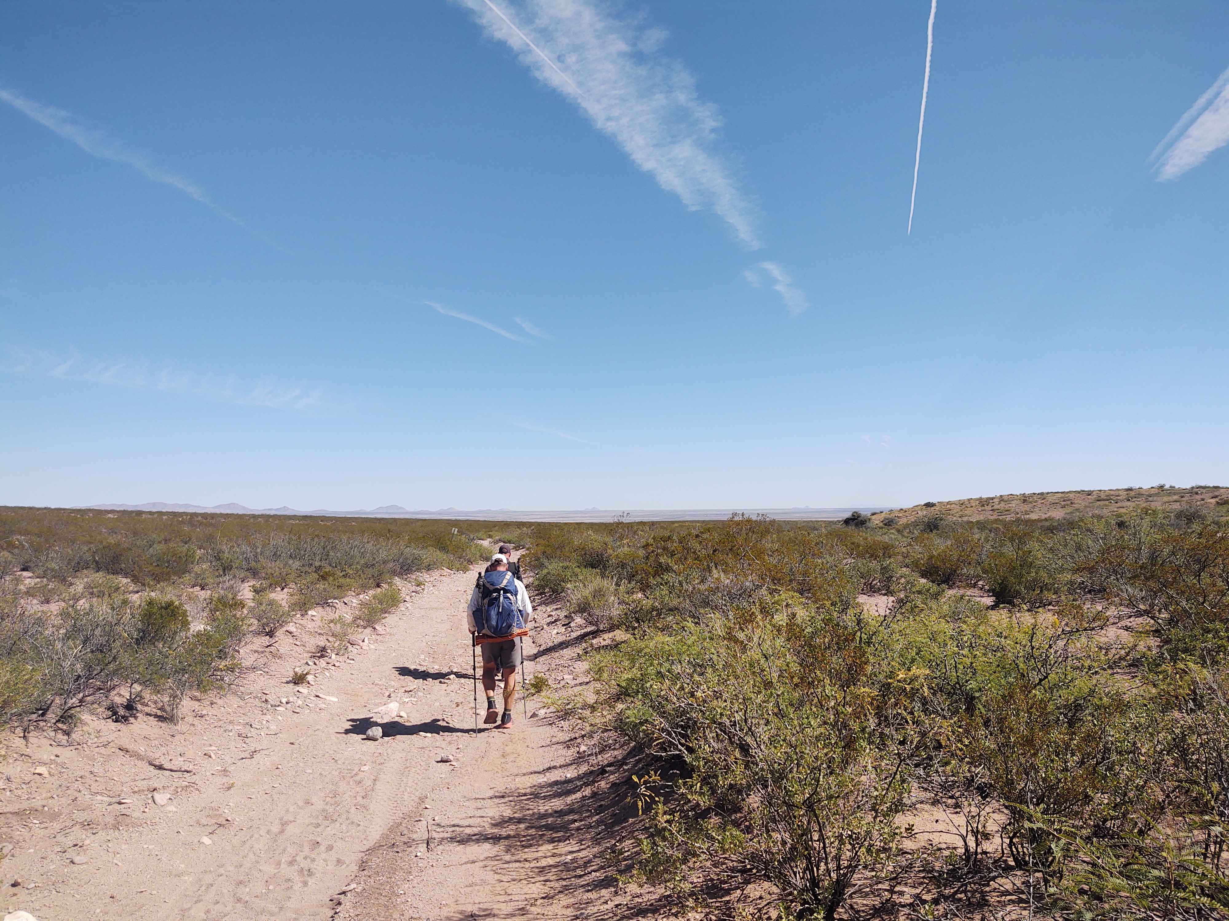
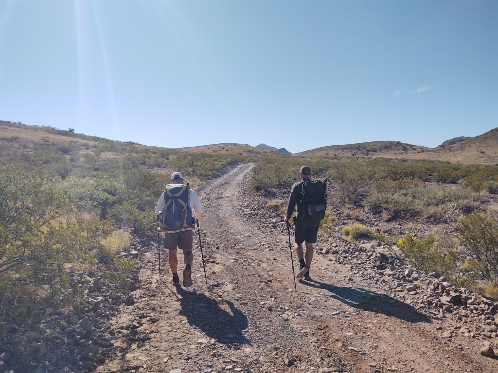
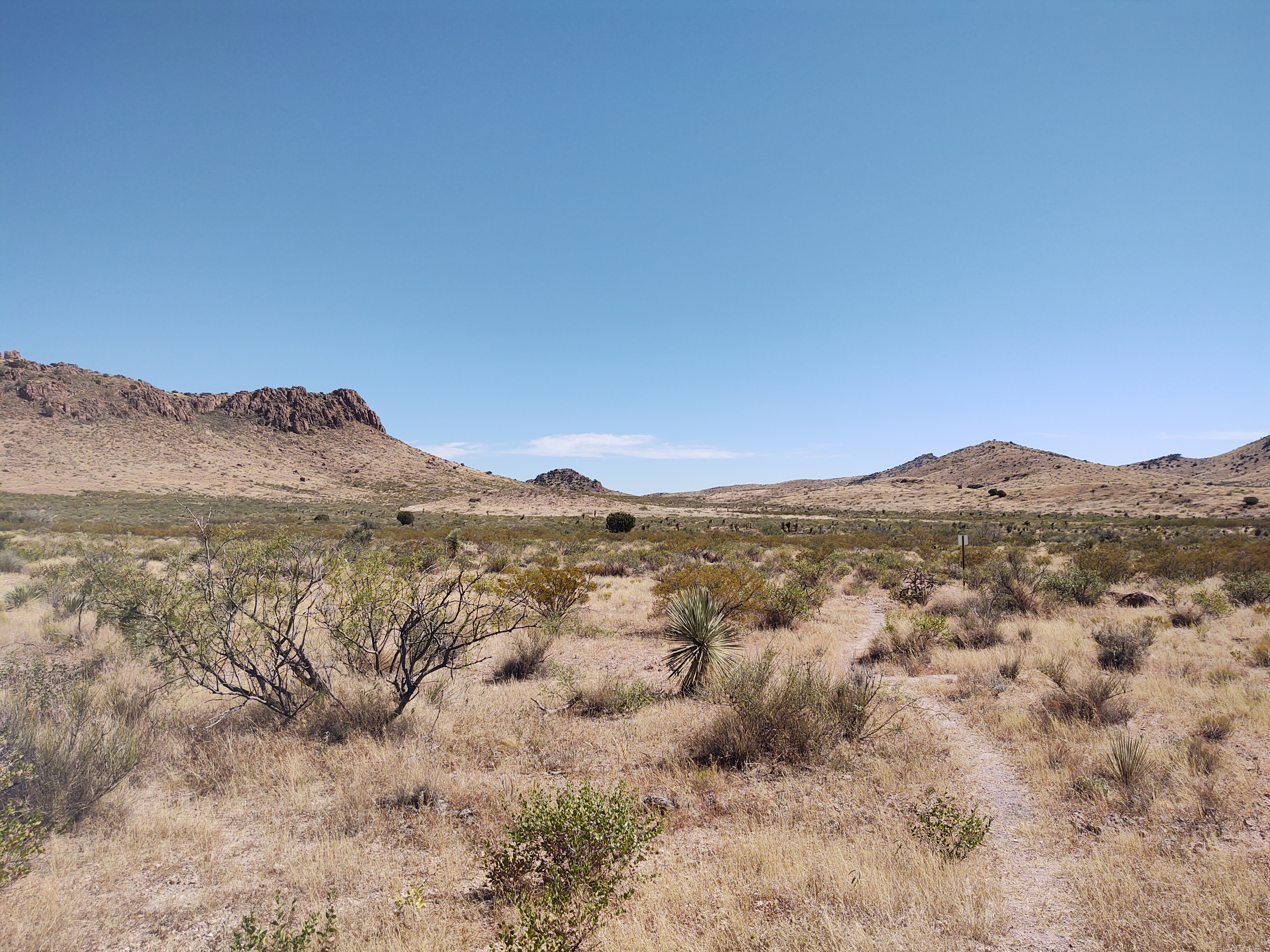
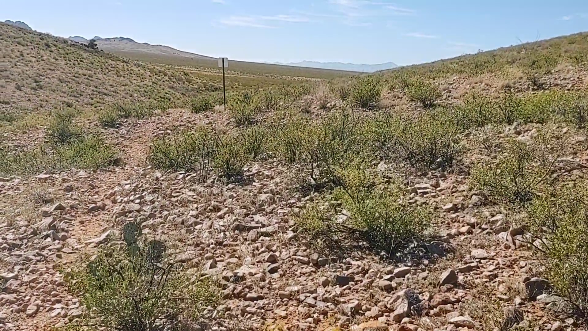
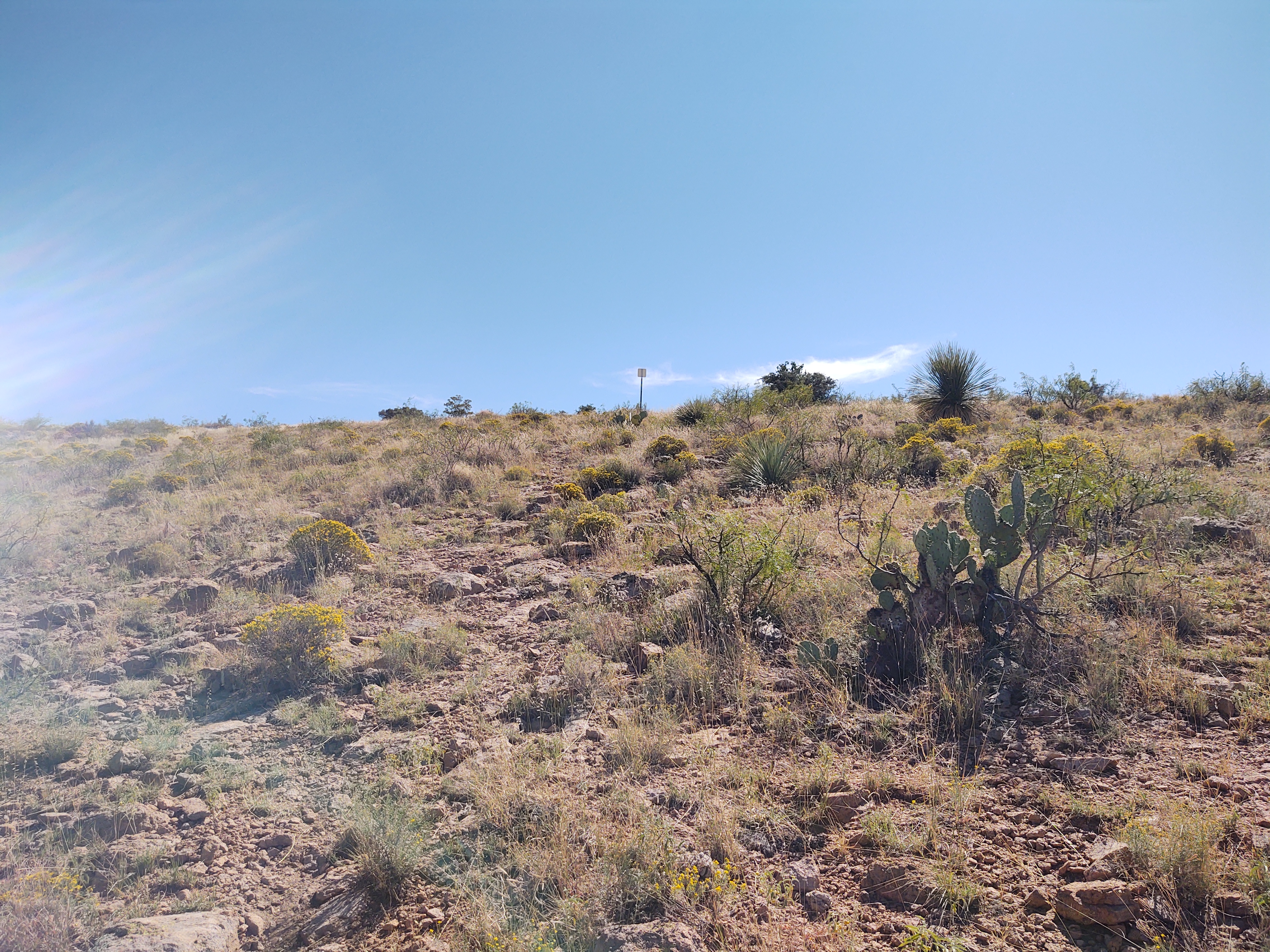
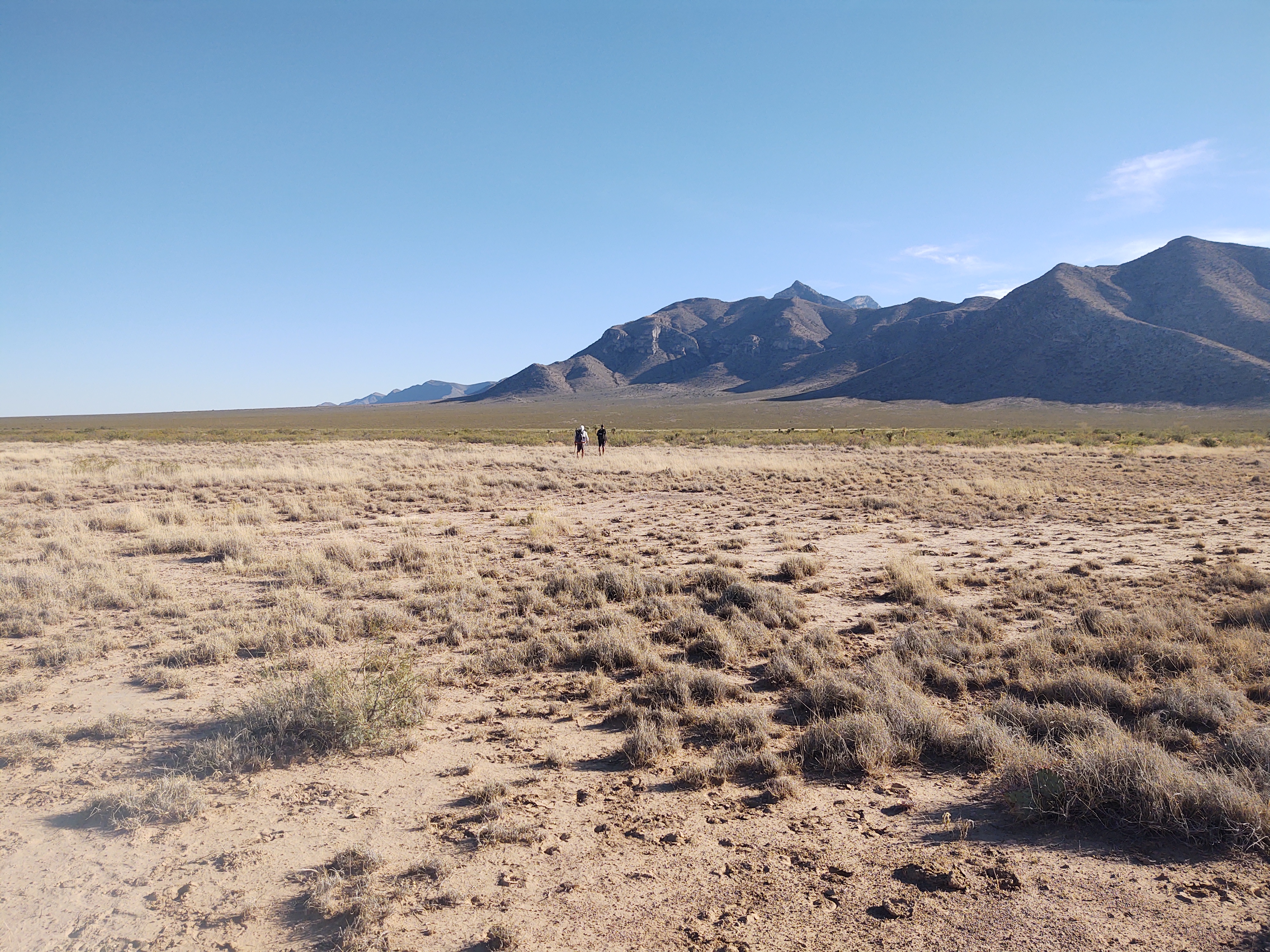
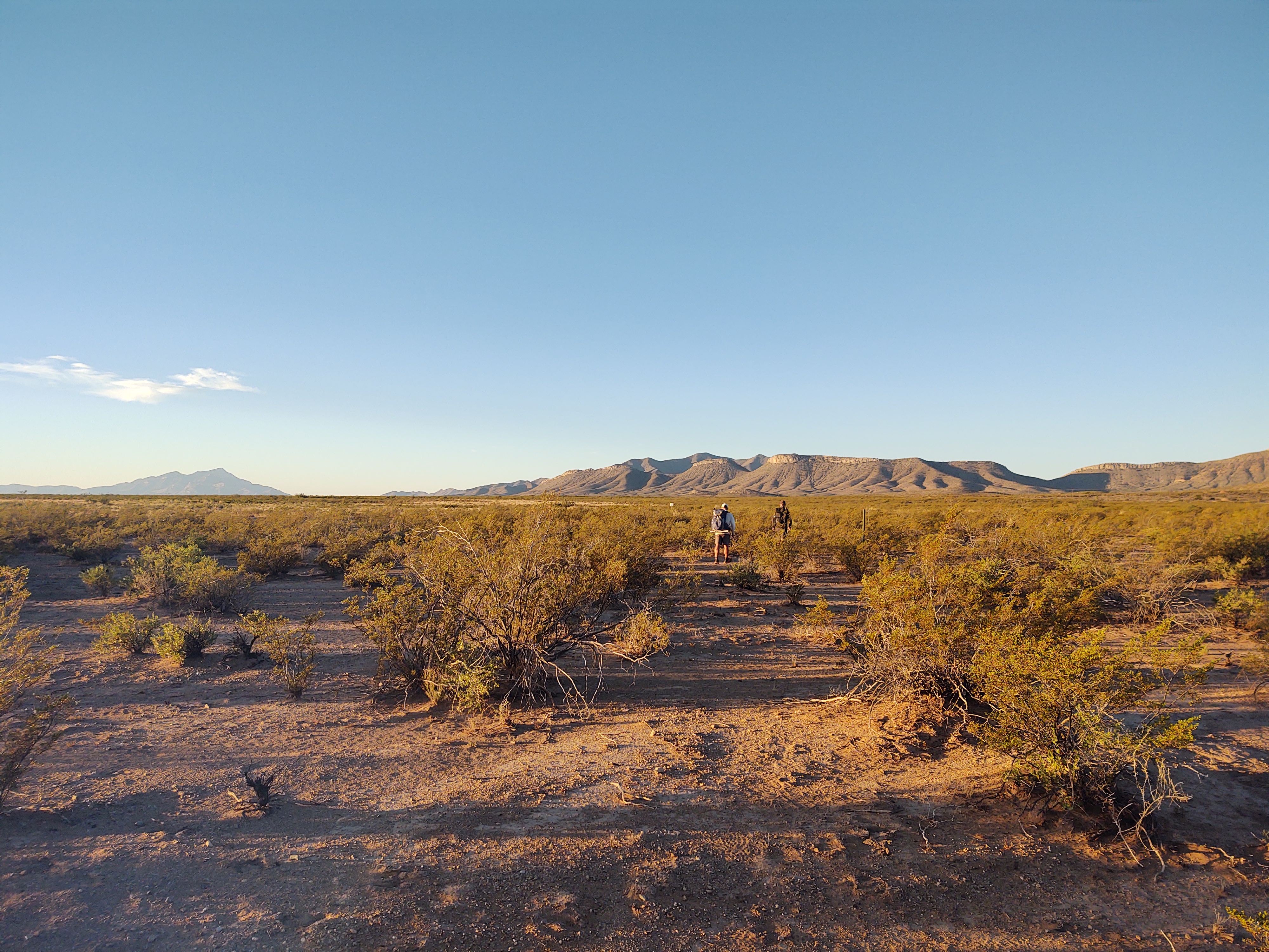
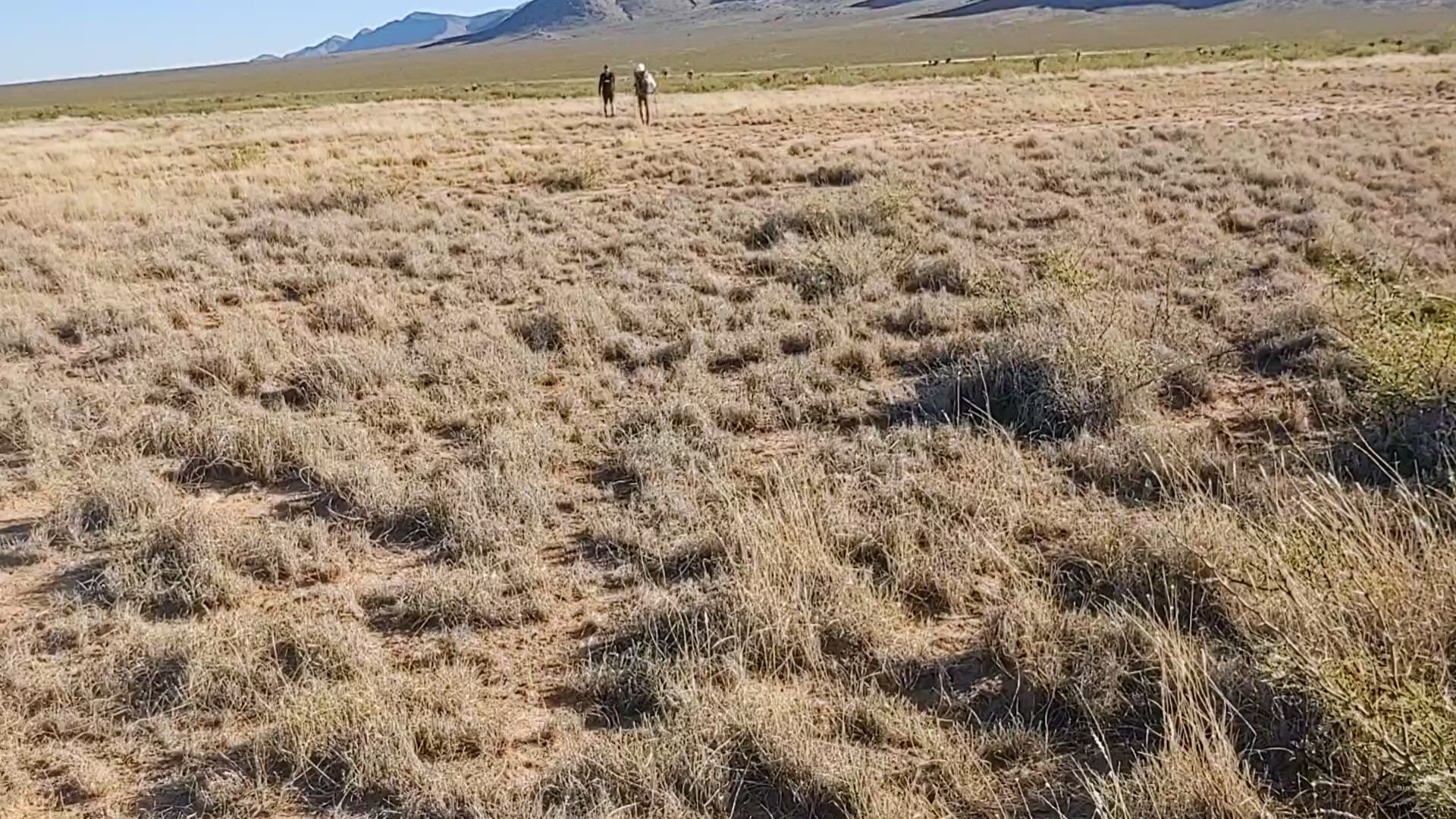
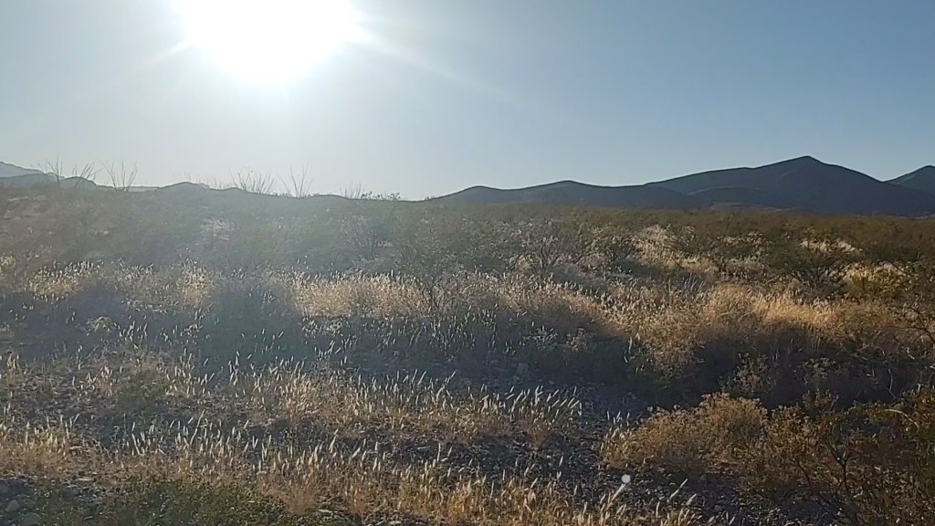
The trail continued along a dry and dusty dirt road. In the distance, little mountain peaks pop up, accentuating how desolate and flat the terrain we are currently walking is.

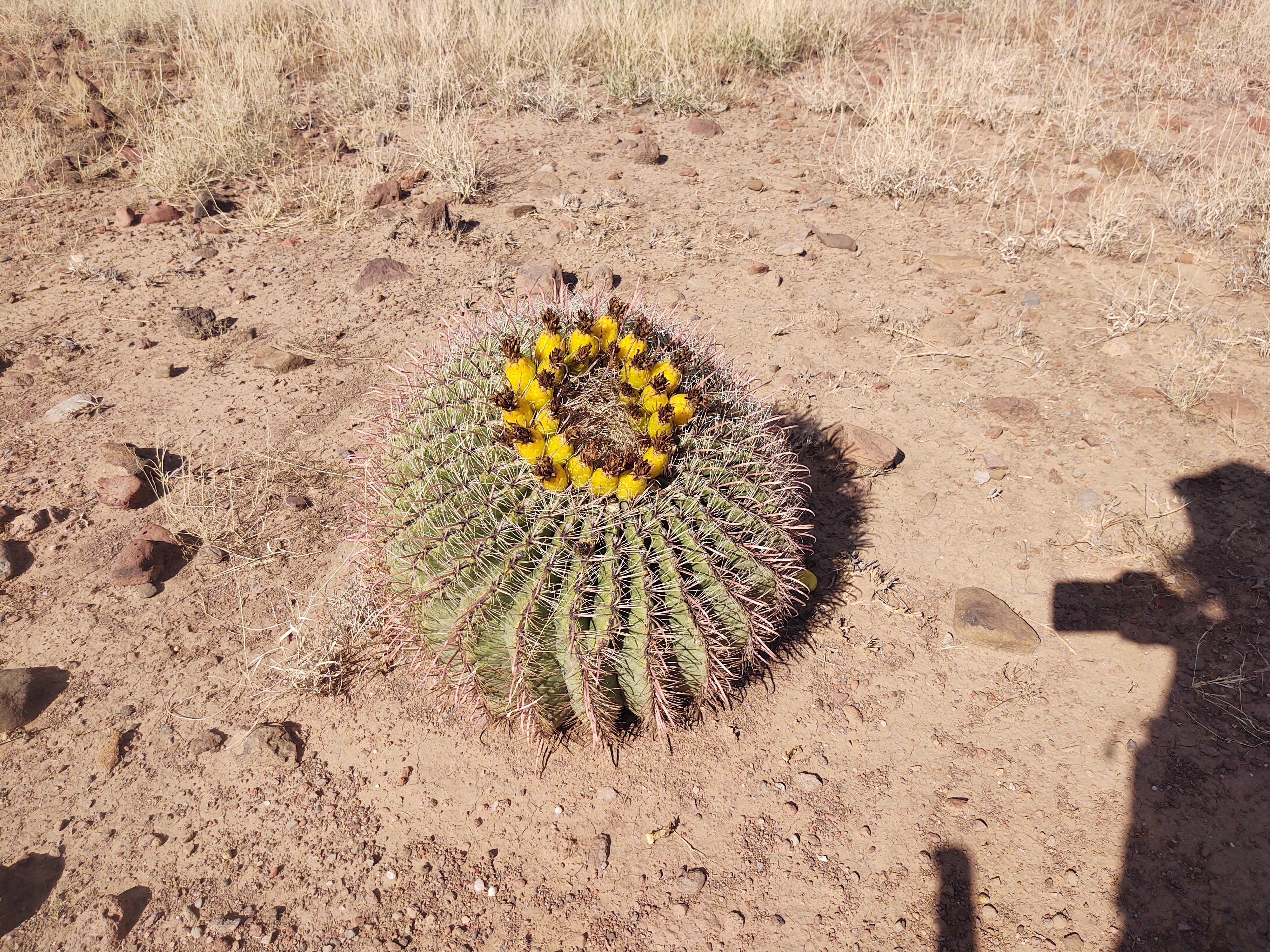
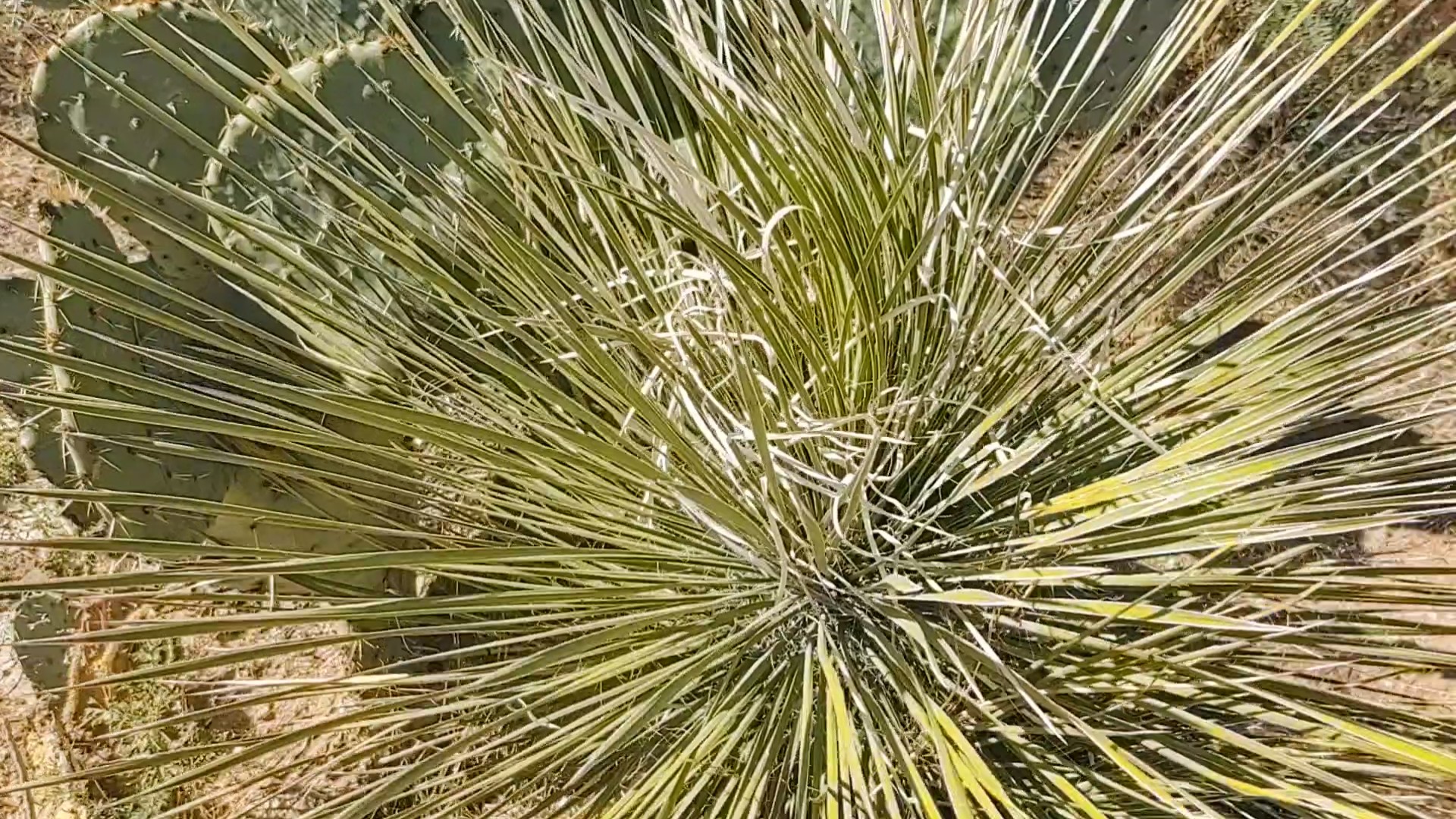
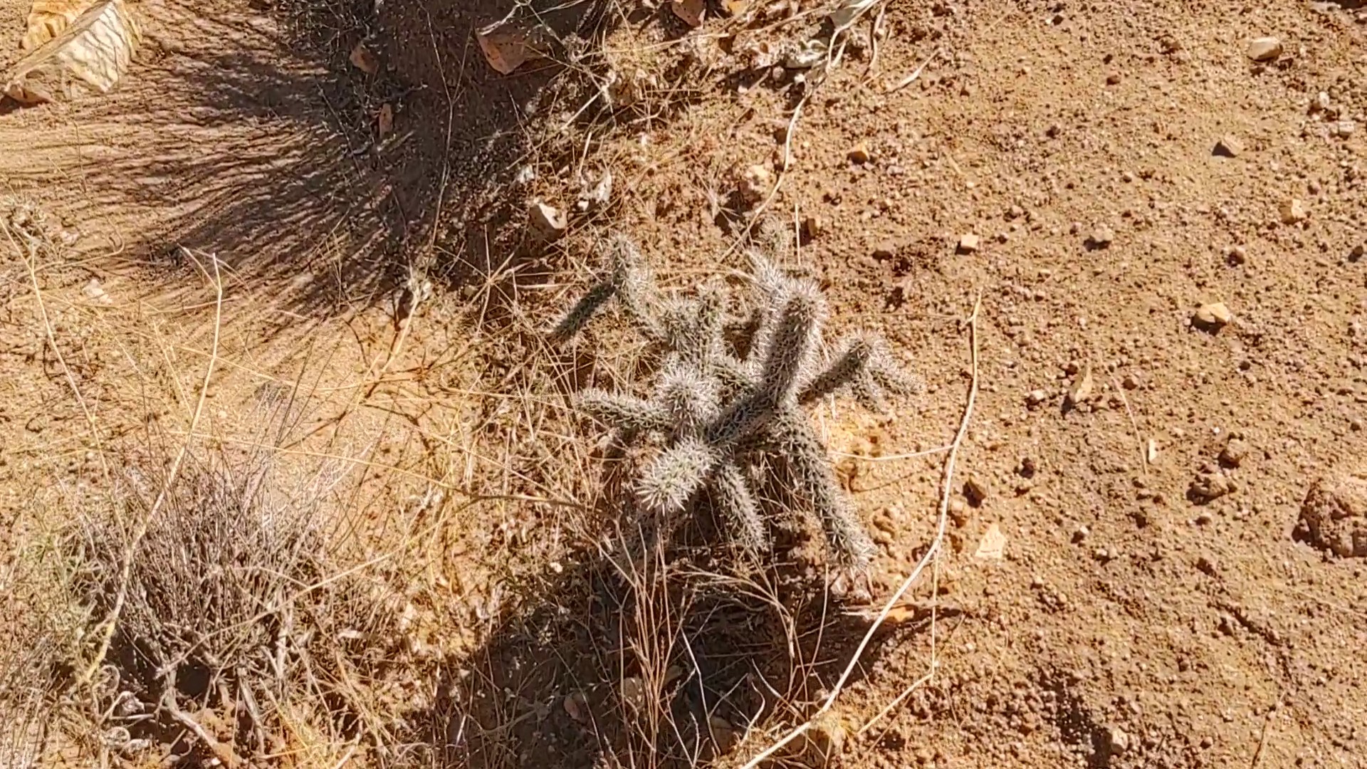
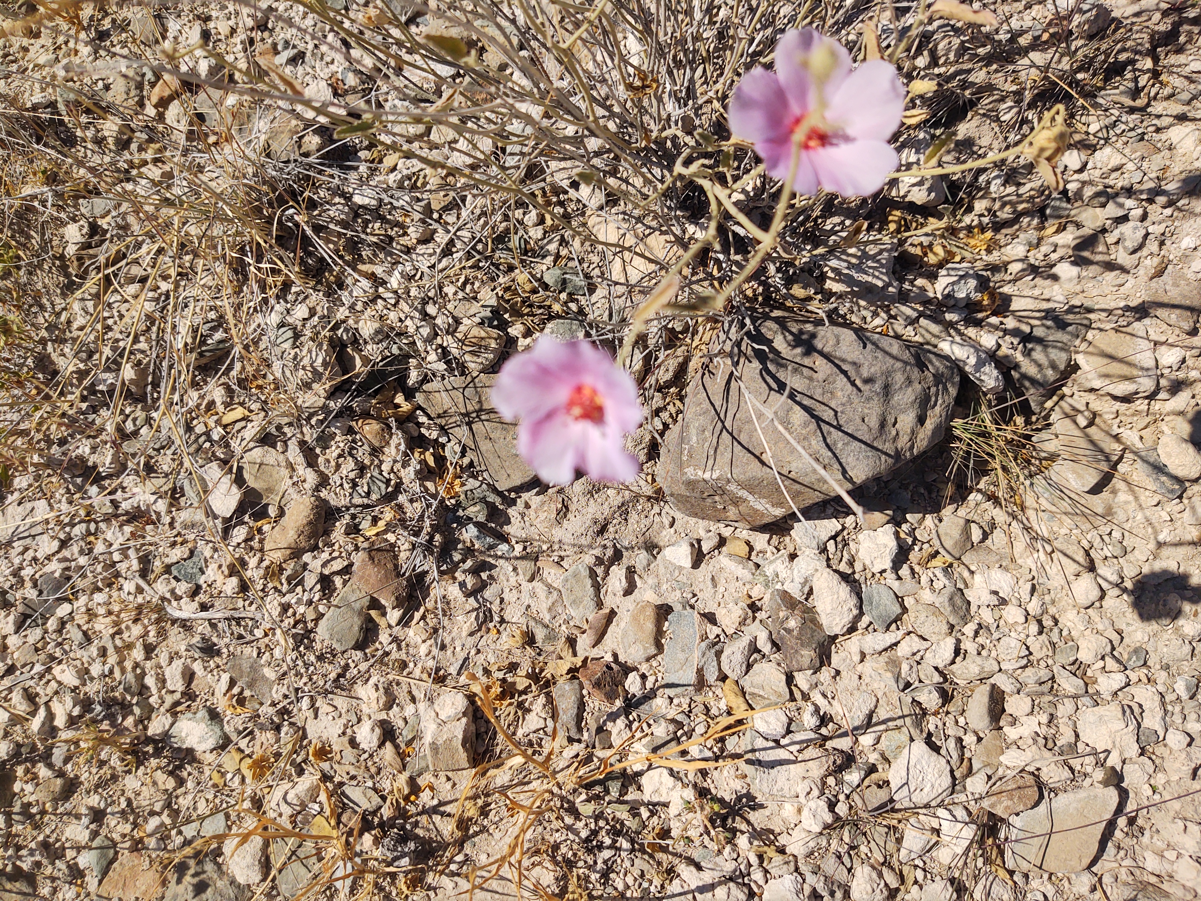
Flowering cactus added a bit of color along the way. Before we started the state of New Mexico, this is how we pictured 80% of it being. Oh, how wrong we were. We are so glad we were wrong about what New Mexico was going to be like.
The remainder of the afternoon was spent playing the “find the carin” game. It helped with the monotony of the landscape, and became a team effort.
We played this game until we reached the 100km mark for Jan. This meant he had 100km left to the border, while we had 62.5miles to go. Crazy to think how close we are to completing this monstrous endeavor.
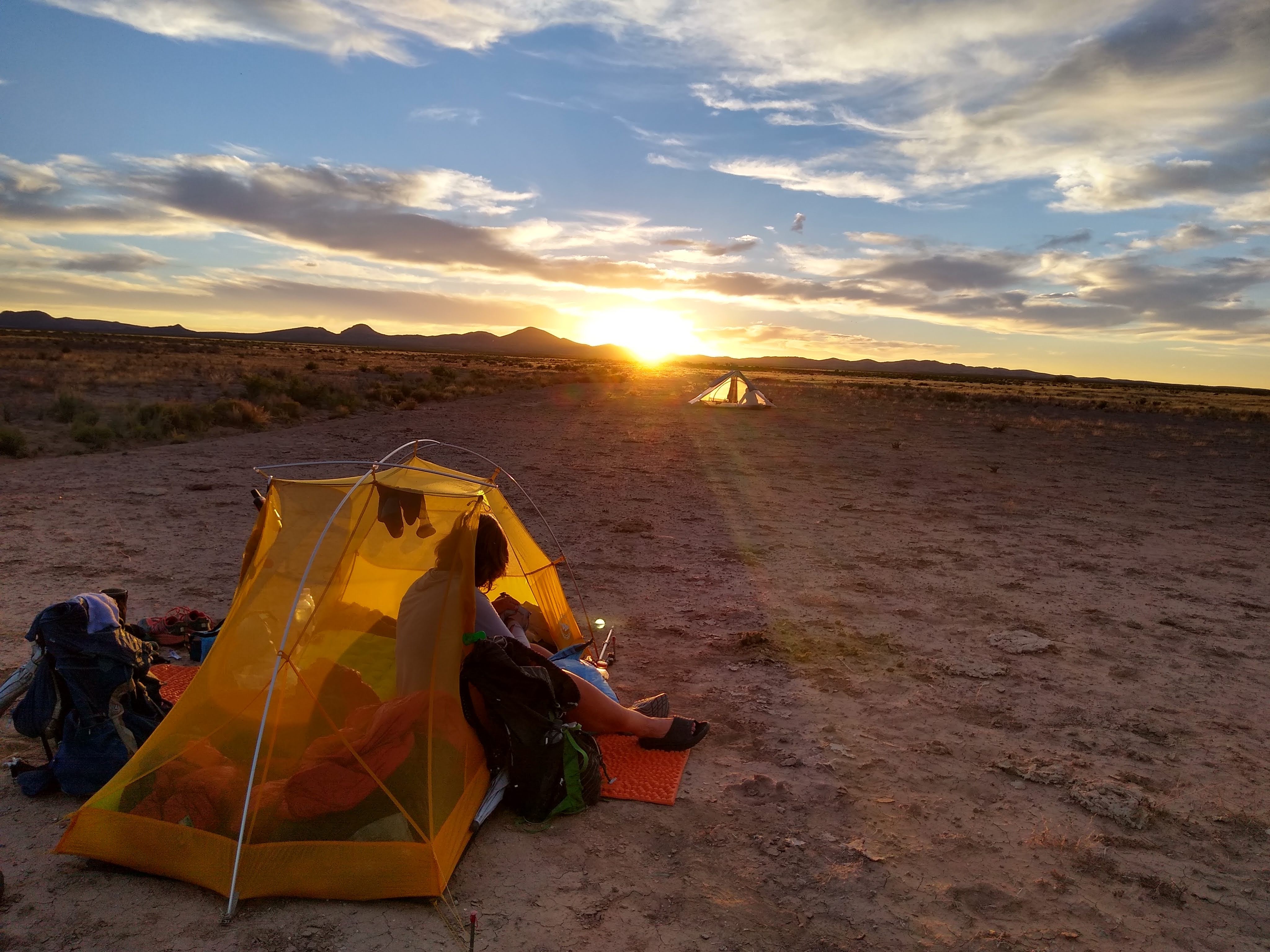
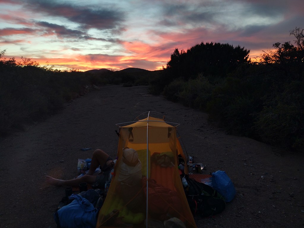
Just after we hit the 100km mark, we started to look for the “perfect” camp spot. It didn’t take long to find a sandy shoal. A refuge from all things pokey.
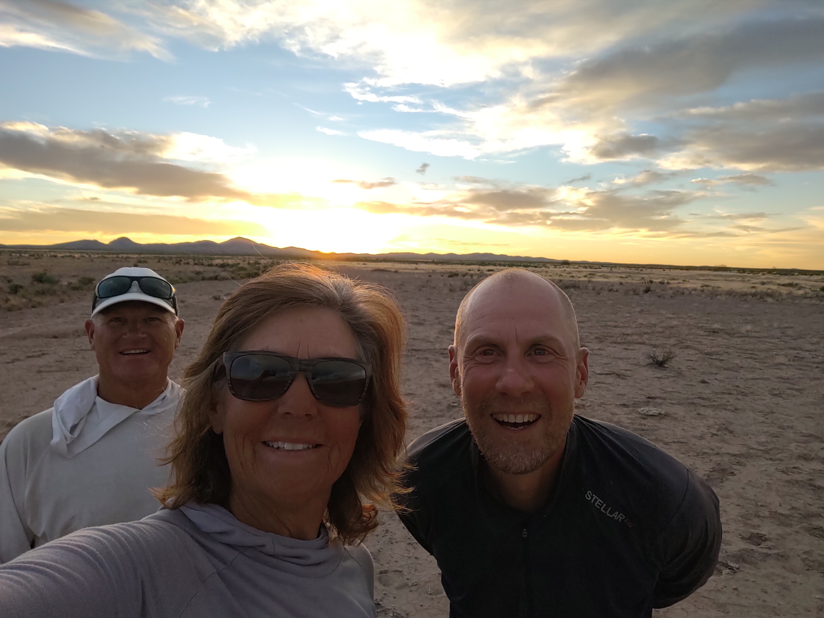
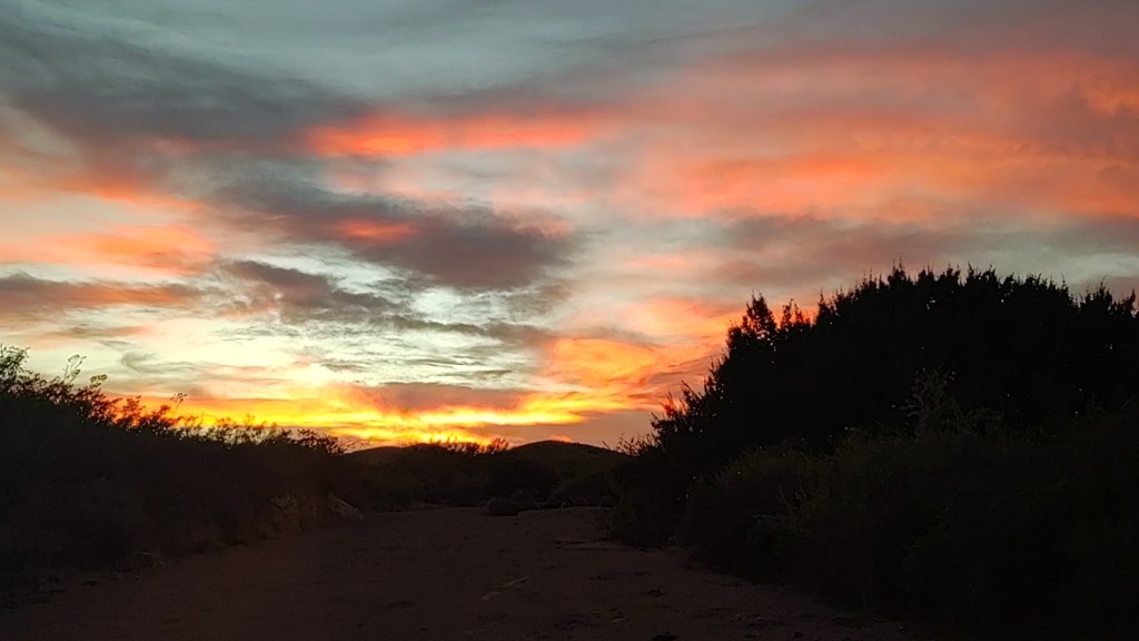
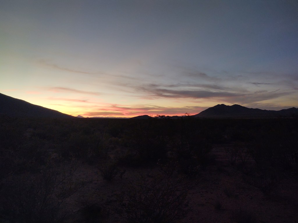
As we dined, we were treated to a panorama of colorful brilliance as the sun set beyond the horizon. No rain fly for us, as the chance of rain was zilch.
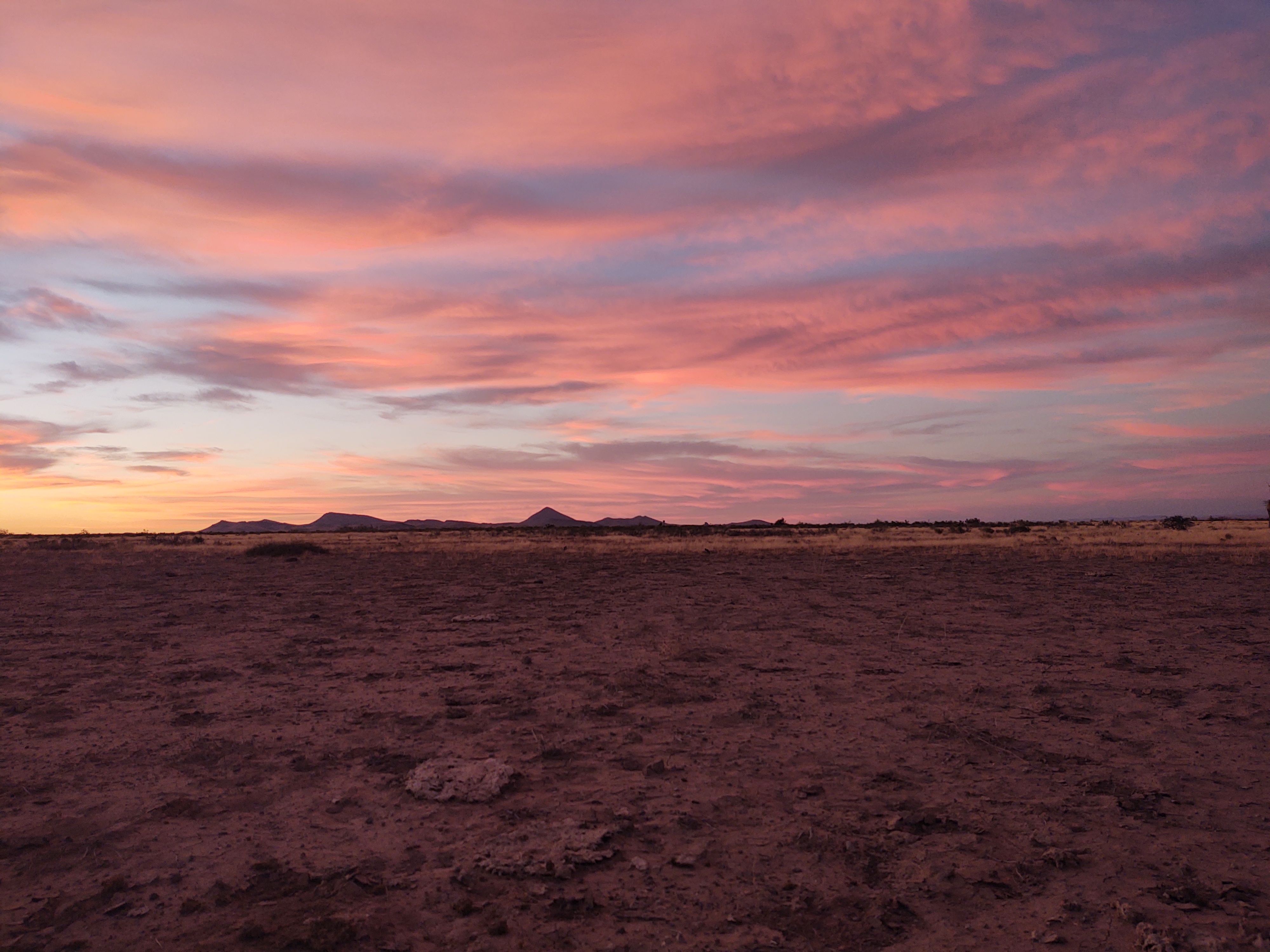
After the sun set, it was the moon’s turn to wow us. Like a giant pumpkin in the sky, the moon eased its way above the distant mountains. It would track from the foot of our tent over and behind us for the remainder of the evening, and into morning.

10/23: 19.7 mi (62.4 – 42.7)
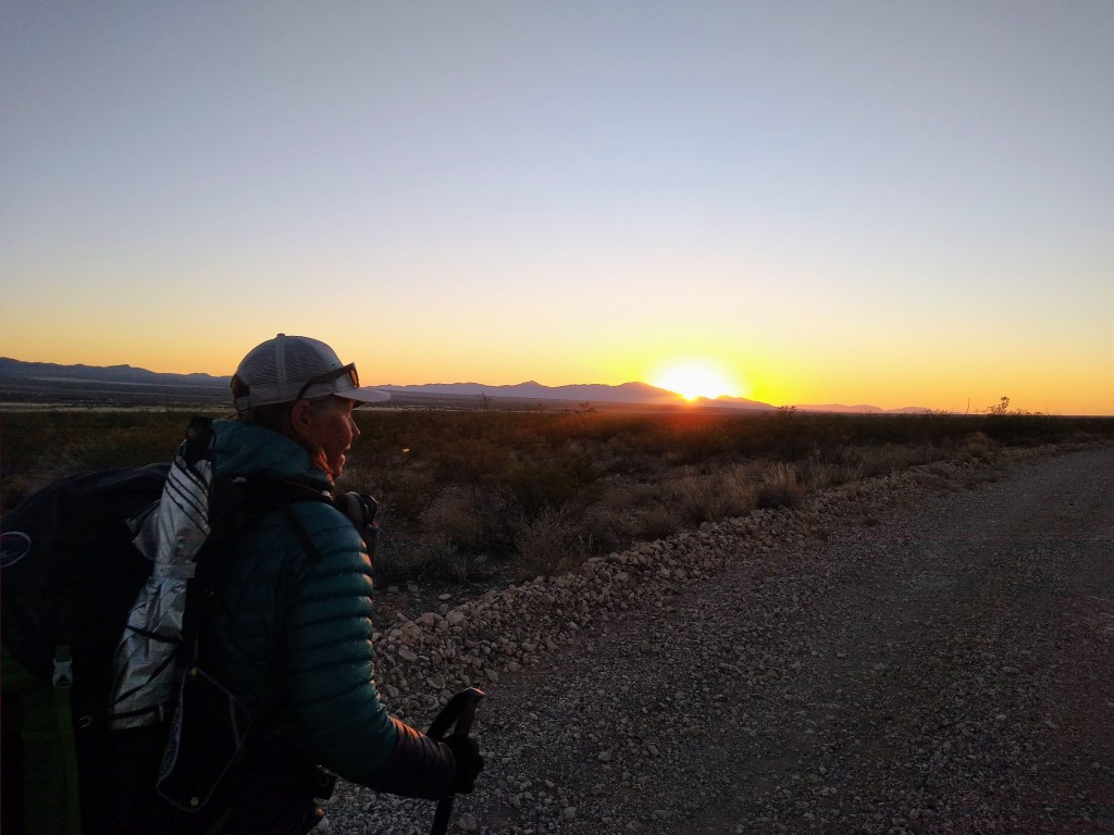
We walked into the sunrise this morning which added a significant degree of difficulty locating the current signs. The brilliance of the sun obscured any ability to see the signs.
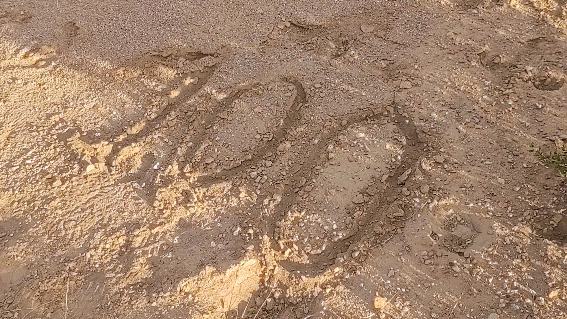
We had to rely on faint tread and smashed grass footprints, and watch for the blue ball on the redline of our Guthook (or rather Far out) app, to make our way. The air was surprisingly crisp. I should have worn my gloves but the tread was easy. So, walking with my hands in my puffy’s pocket was not a tripping hazard.

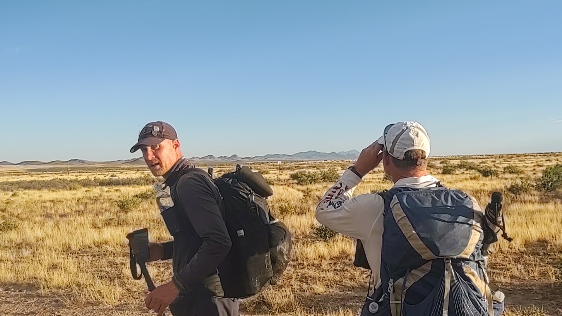
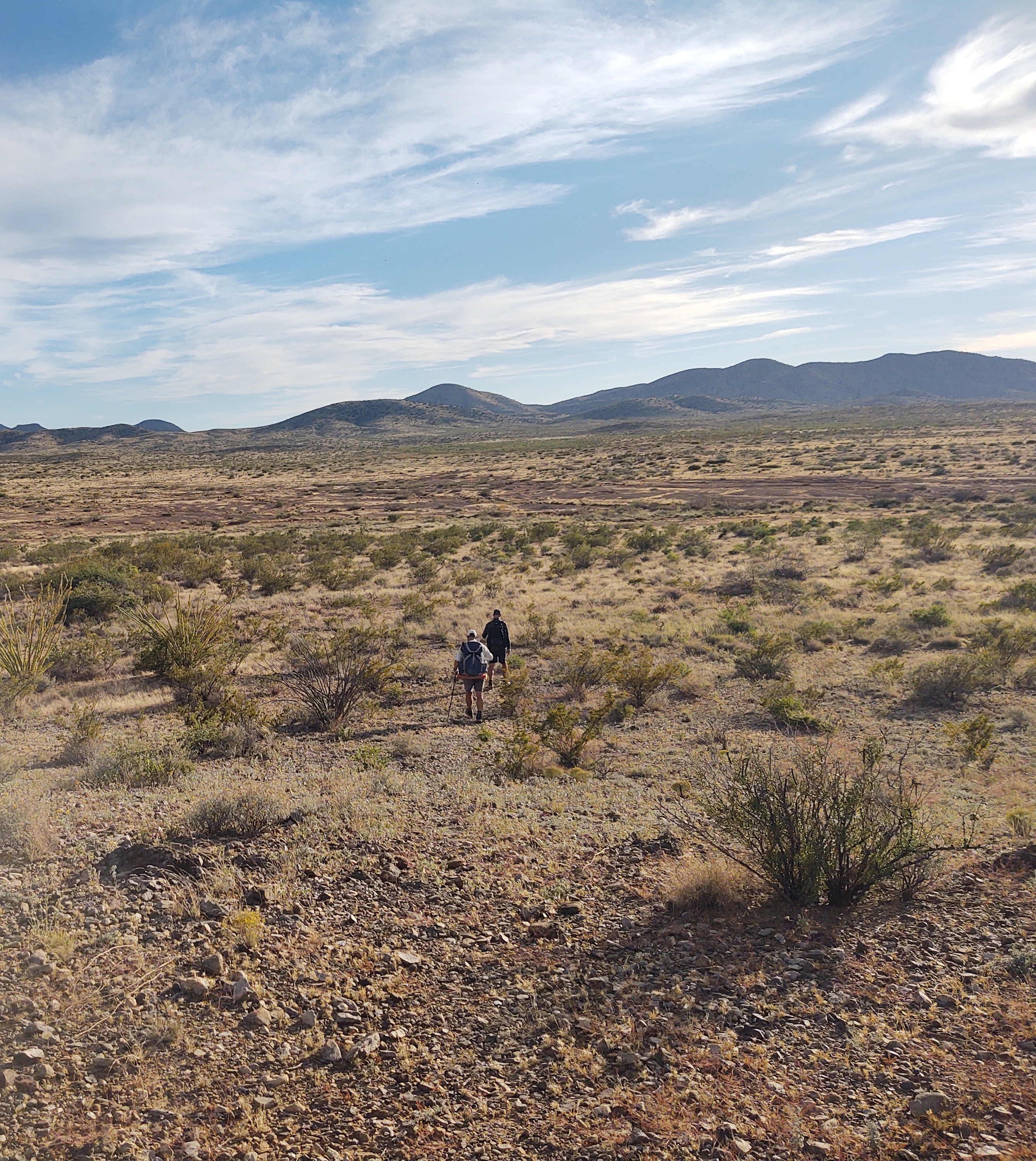
Once again the boys jumped out way ahead, eager to put down those miles that we don’t really need to make, considering we’re so close and we have four days to get to the border.
This left me way behind, but within a silhouetted eyesight of them. It’s as close to doing this trail by myself as I can get…not that I would want to do this trail solo.
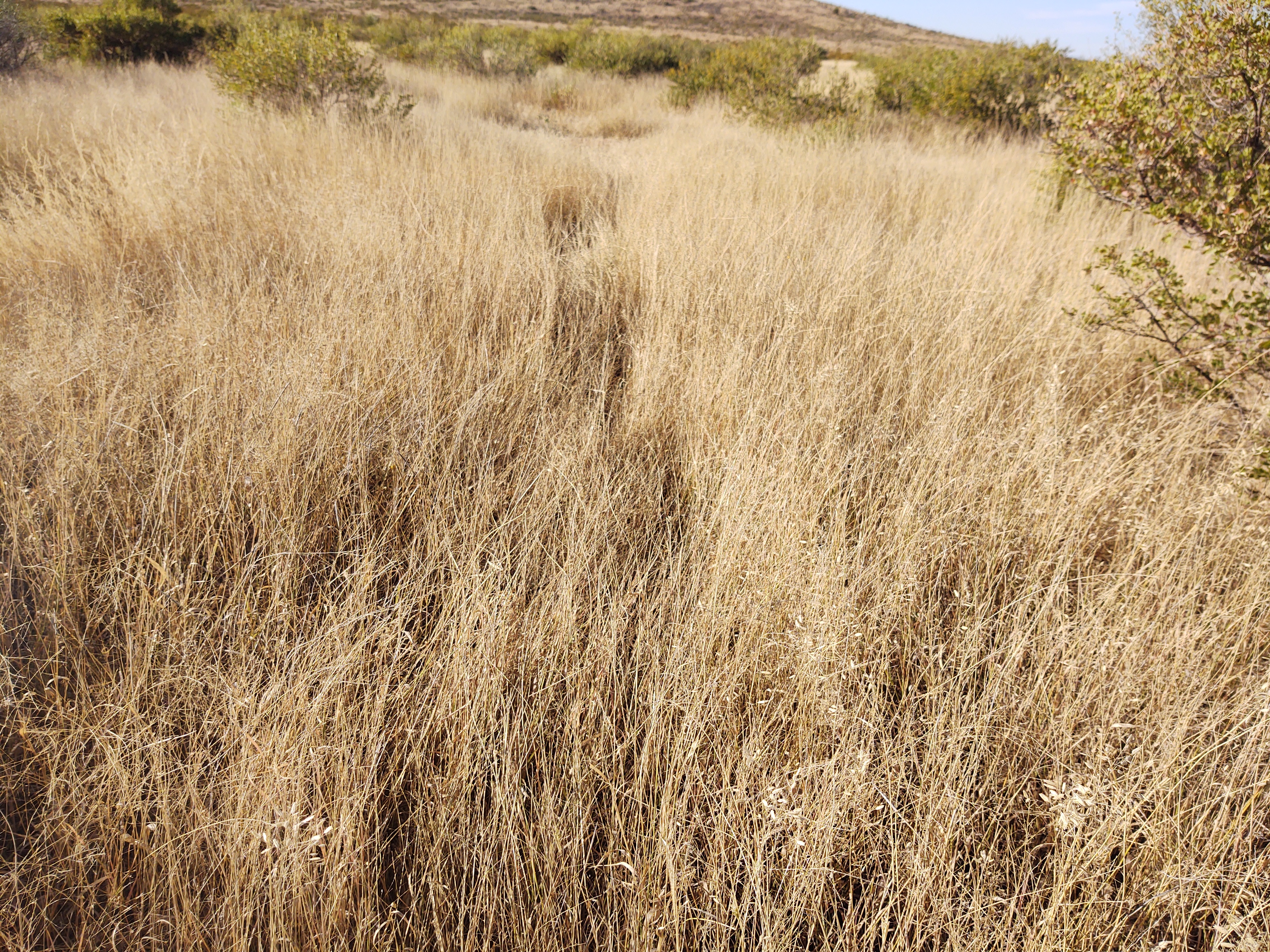
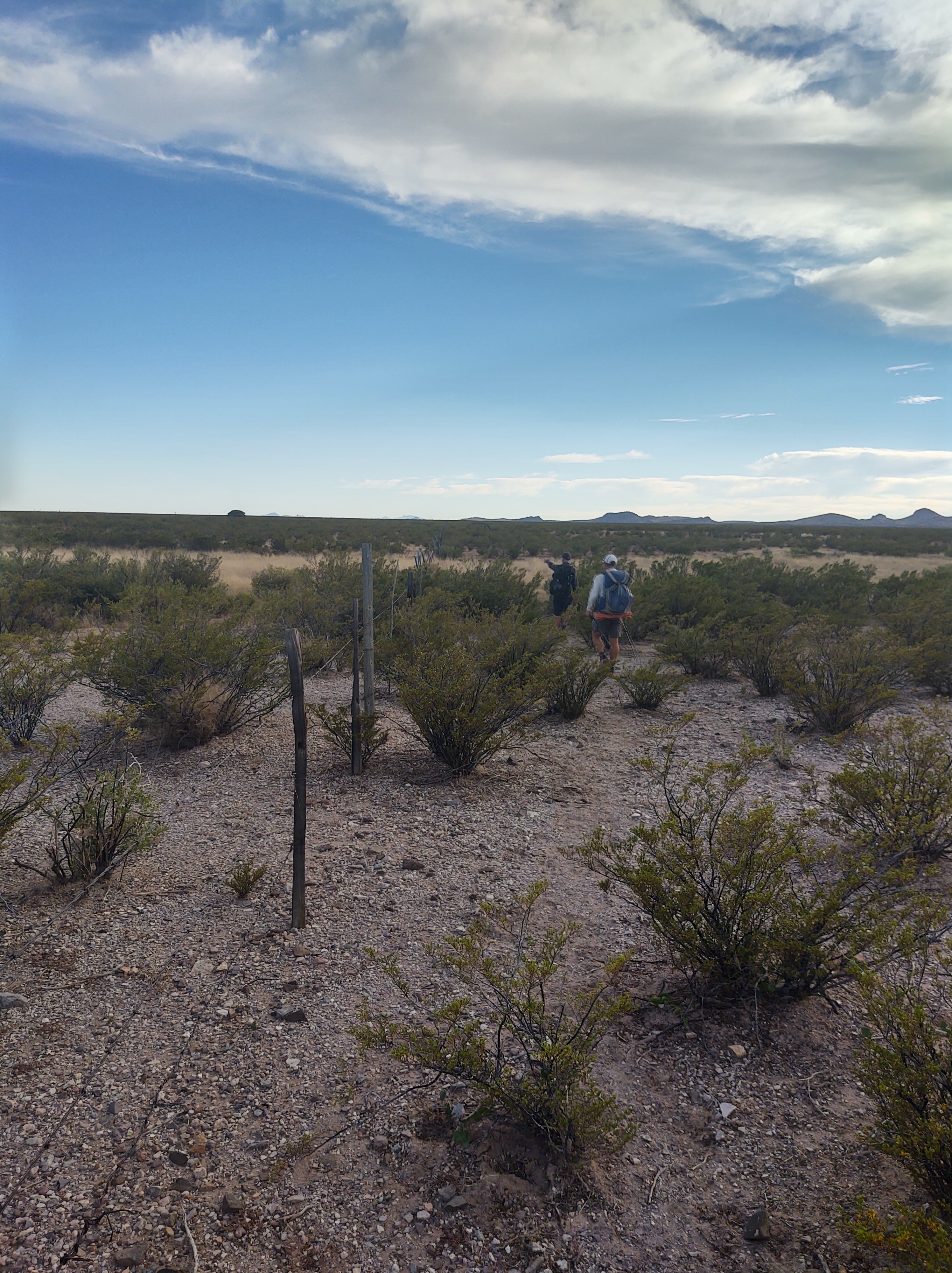
Hide the carin from the SOBOs was the game of the day. The landscape was rugged and dry. Pokey plants and rocks were abundant.
We took a quick morning break at the 2nd water cache, and as luck would have it, another hiker appeared as we were packing up to leave. Poor Jan, this now left him with only three more days for him to have a day without seeing any other hikers (we don’t count).
As the sun rose higher in the sky, a more defined foot trail started to emerge. This led to more hiking and less dodging of pokey plants. The signs were still faced the wrong way for SOBOs, but we’d gotten the hang of searching for plain white squares…on sticks.
Somehow our once “flat” terrain became not so flat. The trail wove up and over saddles and alongside a hillside. We joked as we crested each saddle, “last New Mexico climb”. It was a near constant joke.
Lunch found us just below a saddle, wedged under juniper “trees” for shade.
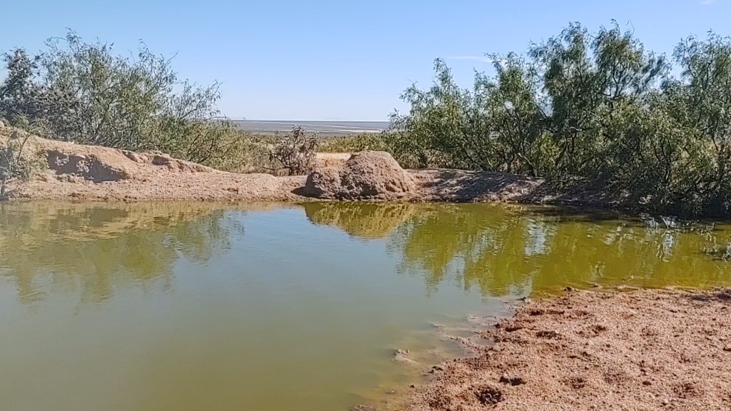
We came across a scantily filled water tank. Green moss and gooey cow snot “decorated” the tire tank. While we didn’t really need water, we collected and filtered some from a cistern nearby whose lid was loosely bolted closed.

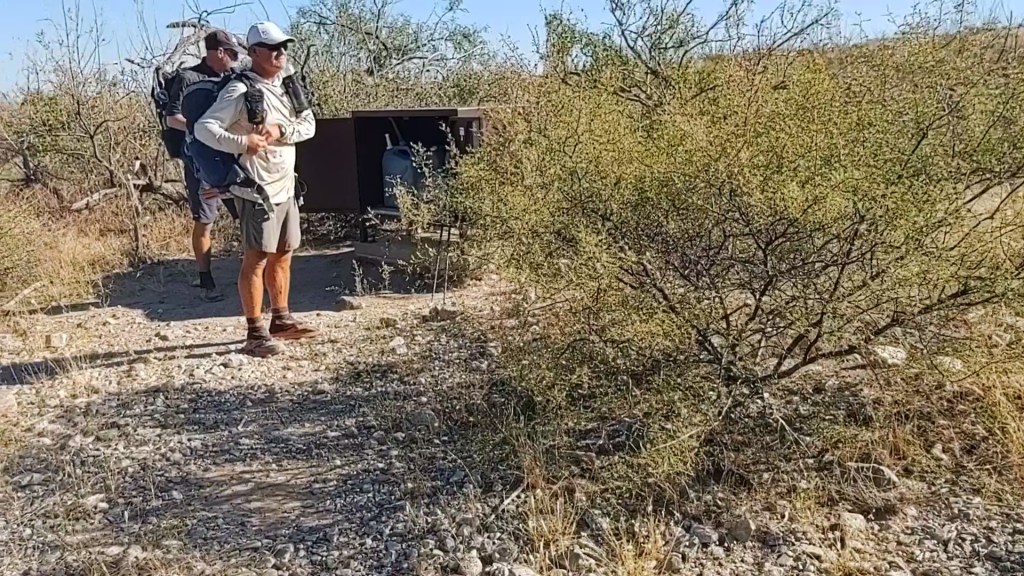
Our final water cache of the day, put us at the Hwy 9 cache. It was 5pm, and we had another hour of daylight to walk.
We “cameled” up there and continued another couple miles.
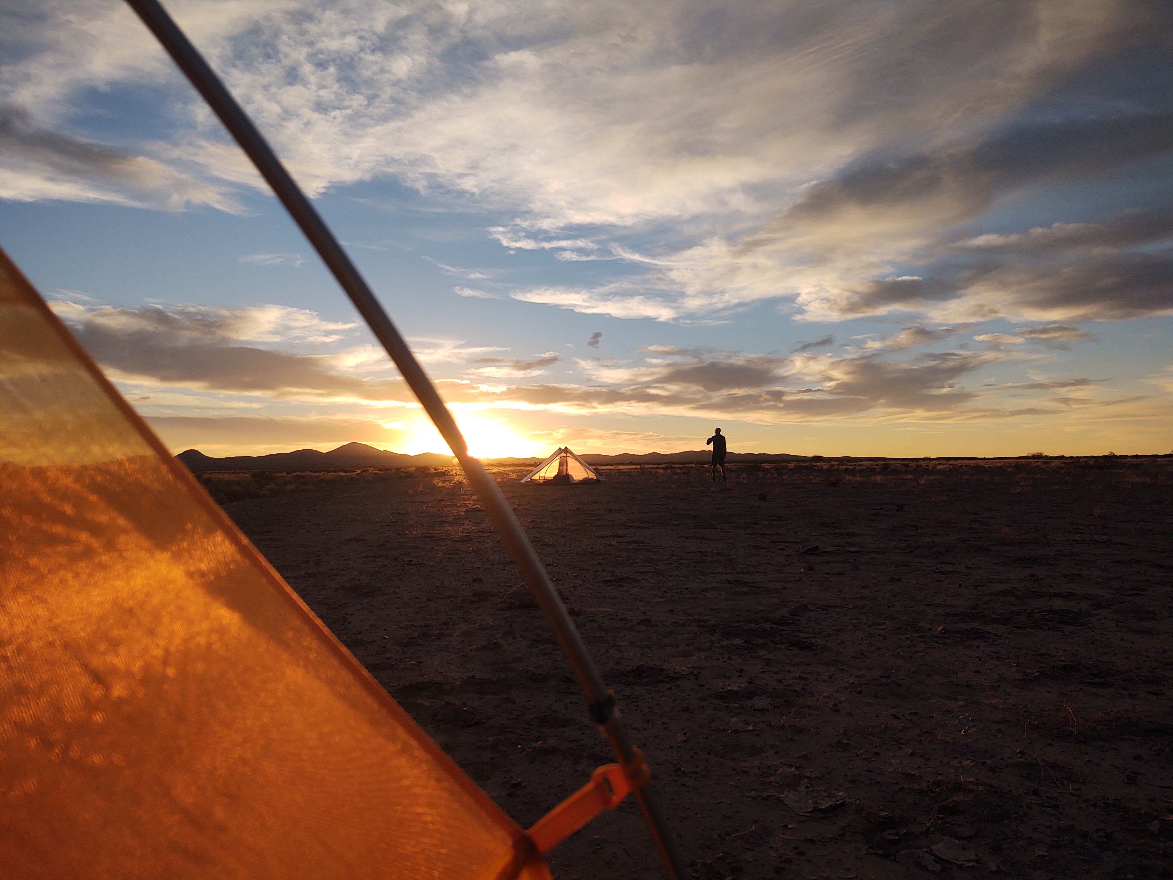
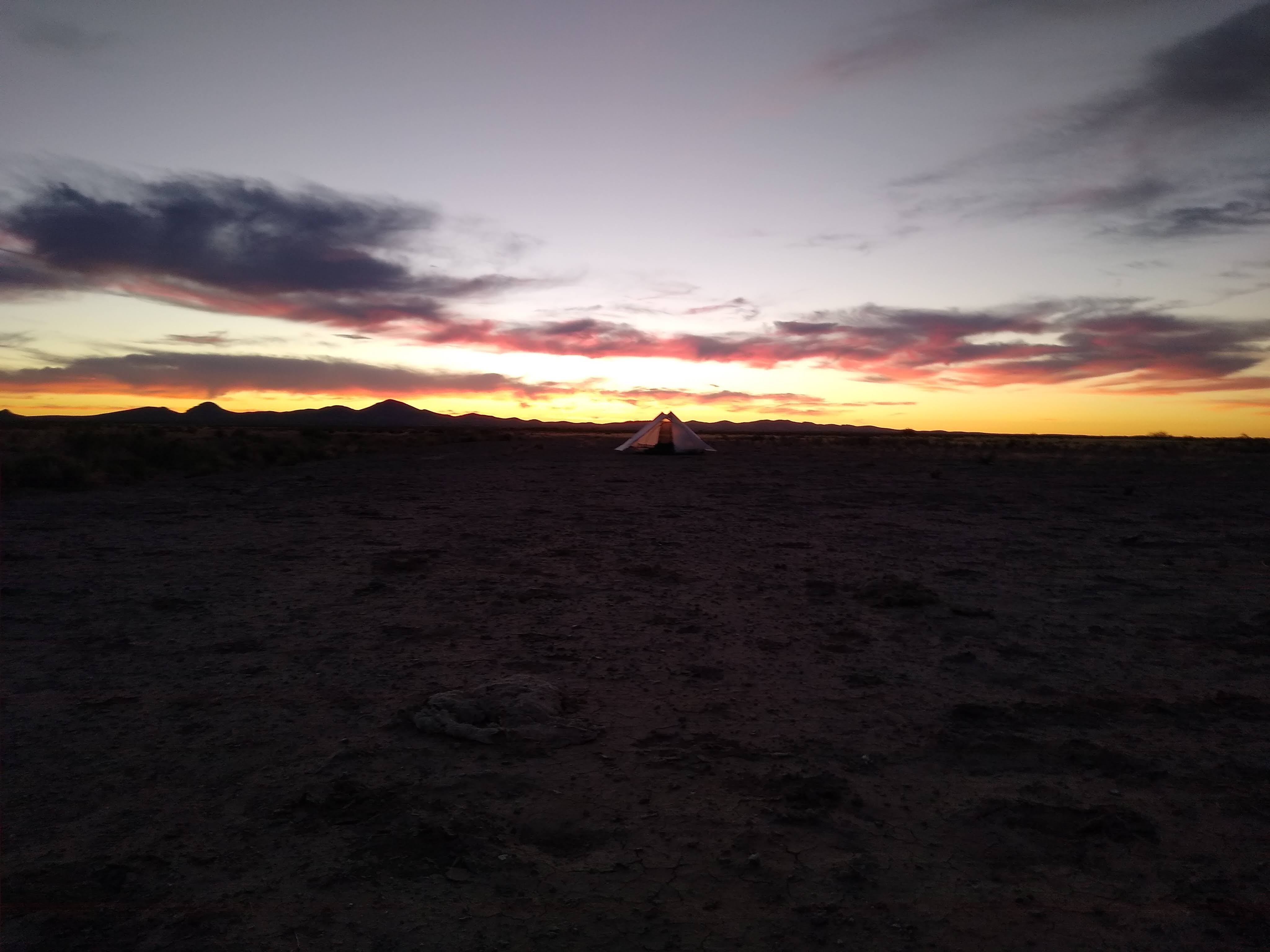
When we reached the portion of the trail that follows a sandy wash, we set up camp. Had there been any inkling, or forecast of rain, for this or the “upstream” area, we wouldn’t have camped there. Our sunset was amazing. Two more nights!
10/24: 20.5 mi (42.7 – 22.5)
As we sat inside our tent, finishing our coffee, we could see the piercing glow of headlights approaching. It could only mean one thing. SOBOs on the march! The first pair dropped down into the wash and made the left down the sandy lane, quickly disappearing out of sight. Another one, not more than 5 minutes later, appeared and stepped into the wash. “You’re too late for coffee, should have been here earlier”, Paul yelled out to the bearded hiker (who happened to be Darwin, of Darwin on the Trail). The hiker somewhat bewildered, chuckled at the voice that came from the darkness, and continued on. Now almost fully packed up, yet another SOBO hikers dropped into the wash and made their way down the soft and sandy trail. We wouldn’t see any trace of these four until the next day.

Today was unexpectedly filled with more climbs with varied terrain. This trail is unrelenting. It rarely gives you a moments rest. There’s always something that requires your attentiveness.
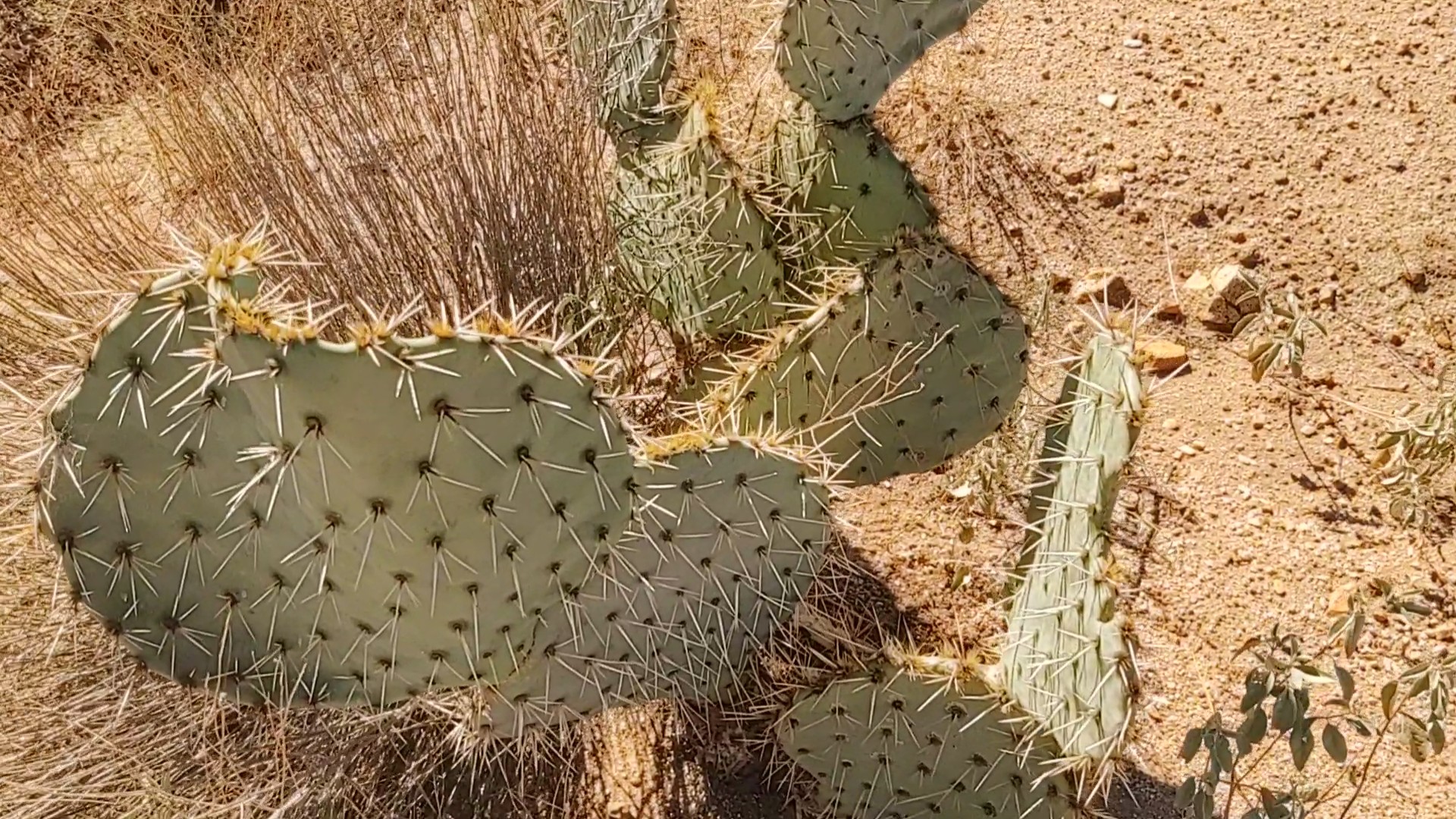
The views for the day, however, were remarkable. And yet, the trail with its constantly changing tread and vicious pokey plants, reminded you that the CDT isn’t finished with you yet.
Besides the red sand of Mars, and the gauntlet of pokey plants between the line of CDT signs, we found a curiosity. A mule deer trotted away from us, parallel the trail some 50yds away. How does a mammal such as that survive out here without water? We hadn’t seen a cow all day, and that’s saying something.
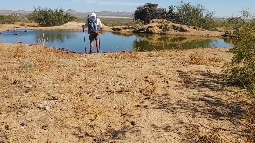
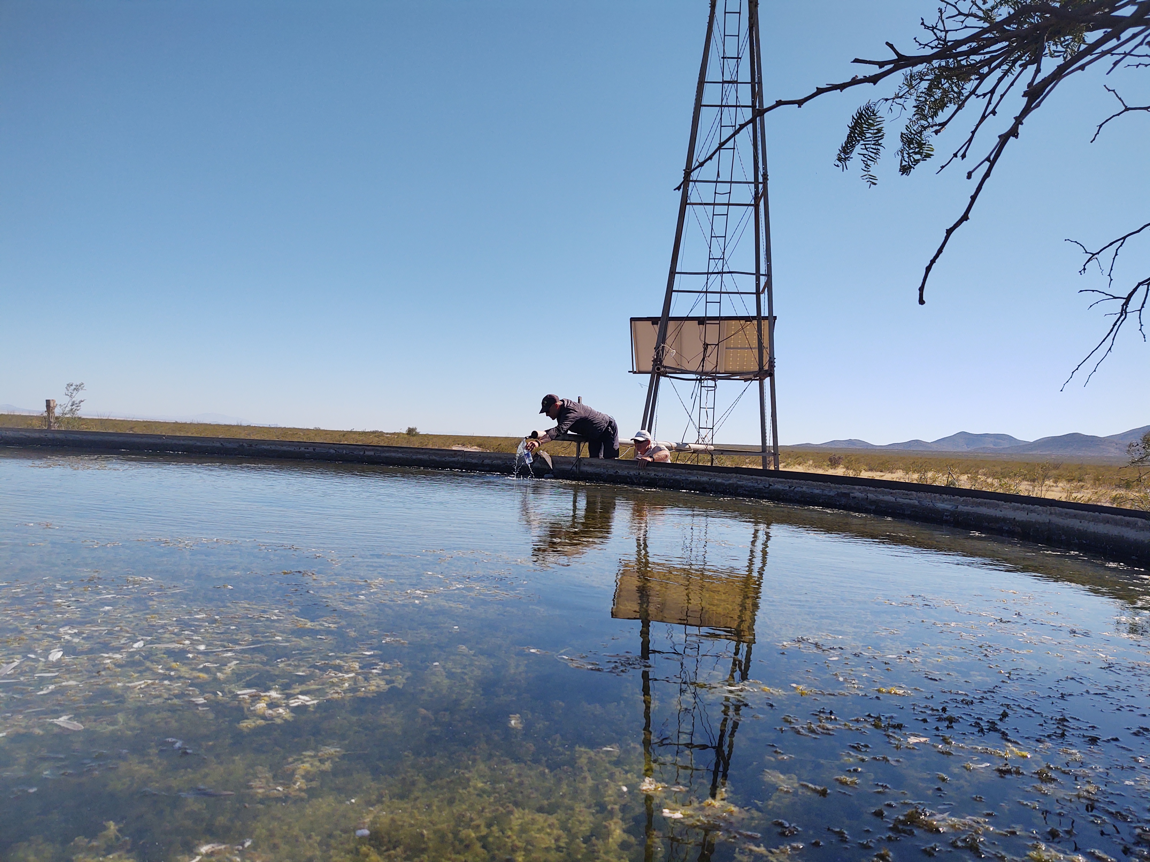
A giant rust red water tank, complete with a “swimming hole”, provided our answer…that is how it survives.
If the “swimming hole” had not been rimmed with cow shit and the color of Mountain Dew, we may have been tempted to go for a swim.
By 3:30 we reached the water cache at Hwy 81. Crazy to think that we are making such miles in the heat of the day. At the cache, we rested and cameled up for another 3 miles or so. For some reason or another, maybe because the day was not “challenging” enough, it was decided that a bushwhack was in order.
In an attempt to cut off 3/10ths of a mile, and ironically, to “avoid” the prescribed bushwhack between the CDT trail marker signs, we (Jan and Paul) blazed our own “trail”. Personally, I still think Jan was hoping to come across a rattlesnake.

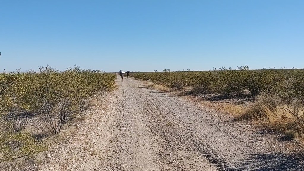
When we reached a dirt road, we decided to take the “advice” in the comments section of Guthook (FarOut) and continue on the dirt road. The road, of course, had challenging tread, at times, but no “where’s the carin” hunt.
Just past a windmill and road junction, we made camp. A tarantula followed Jan to his tent site.
10/25: 20.4 mi (22.5 – 2.1)
From our campsite, we continued on the tattered road, for 8 miles, till we reached our 5th and final water cache.
As we were not to particularly in a hurry, and it was only 9:30, we watered up and lounged for a bit. Ray from the EconoLodge stopped by to check the cache on his way to pick up some hikers. We assumed it was the ones who had passed our camp early in the morning the day before. He confirmed that we could walk the road all the way to the monument, and that along said dirt road was a solar windmill with water.
While I would have preferred to walk the rest of the “redline” to the monument, the thought of “needlessly” climbing a mountain to get on the other side to only walk parallel to the road we were on, seemed silly. Thus, dirt road walk it was. Just prior to reaching the solar windmill, Ray passed us again with his “cargo”. We knew, and had met three of the four passengers (Darwin, Bopit and Punisher). They looked worked and relieved to be done. Bebop and Punisher had earlier told us that they had planned on hiking an entire calendar year, so I asked them if they were headed to the Arizona Trail (AZT), like they had planned. “Hell No!”, was their reply. “We’re headed home. We’ve had enough. This trail was brutal”. Not gonna lie, but for them to declare this trail brutal, and for us to have completed said trail as well, made us feel pretty good…for old farts.
By the time we arrived at the solar wind mill (and tank), the day was heating up (100 ). Here, we ate our lunch, napped and waited out the heat of the day for nearly 3hours.
The remaining walk of 14 miles, to CDT mile 2.1 was mindless and painful. Painful, because it was still very hot and my feet and shins had begun to complain…loudly. This is where mind over matter, and years of pushing one’s self through brutal workouts “cash-in” their value. I’ve been in this place before, on thru-hikes and in workouts. This was not something new, just annoying.
We camped at CDT mile 2.1, by a decaying adobe structure and decrepit wind mill. Tomorrow we walk the “redline” to the finish.
