
Day 7: (15 miles)
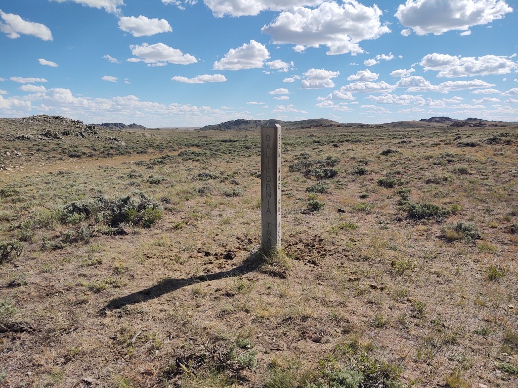
Up early, our goal was to get to South Pass City to pick up our resupply. Well, that didn’t happen. Along the way we tarried at the Oregon Trail, California Trail and the 35 mile Seminoe Cut-off, trying to look for wagon wheel remnants. (These trails were the “freeway” systems of the early pioneers.) Then we soaked our feet in a slough, bathed in a river and dined by a creek. Such is the life of now a quasi-thru-hiker. (We’ve decided that we’re in no hurry to push miles, and to focus on enjoying the journey)
The tread wasn’t any different, but our conversation was. Here we were complaining about our feet, the tread and the heat, and then we’re faced with pioneer’s pathways of the 1840’s. We’re not worthy. They had leather soled boots, “heavy” clothing and no navigation devices besides a scout, the stars and maybe previous tread (wagon) marks from prior travelers.
The Oregon Trail is 2170 miles long. Most people (350-500 THOUSAND) left out of Kanas City. So by the time they reached the part(s) of the trail we were treading on, they were pretty well seasoned. They averaged 160 days to Oregon. That’s about 12-15 miles a day. Again , we are not worthy. We have a lighter load and good maps, and still only manage to make 15 miles a day.
The California Trail broke off from the Oregon Trail and led directly to the California gold fields. Unlike the current “population” of the CDT, groups of 20-50 wagons would travel together on these trails. Finding water was just as important then as it is now, traveling through The Great Basin.
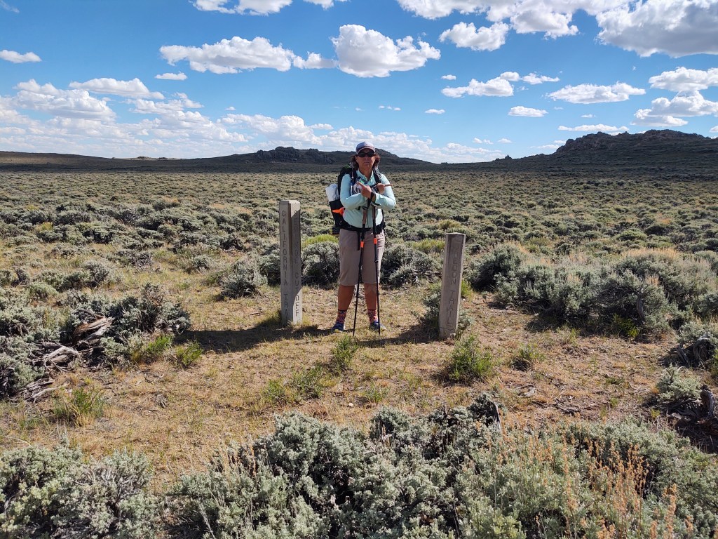
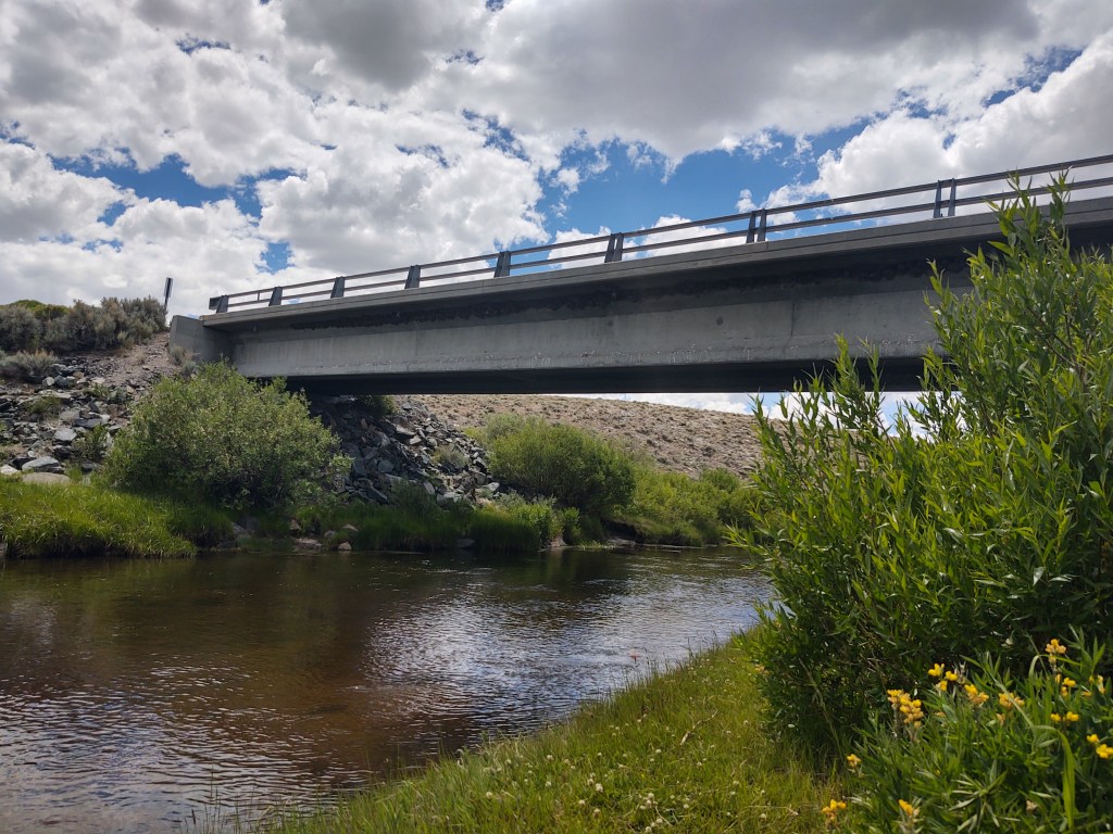
The Seminoe Cut-Off allowed travelers to avoid the 4 crossings of the Sweetwater River. We on the other hand were looking forward to the Sweetwater River. The benefit of the Seminoe Cut-Off was there was a bridge over the Sweetwater River, originally fashioned by French fur traders. One of the bridges builders was called “Seminoe”, hence the Seminoe Cut-Off name.
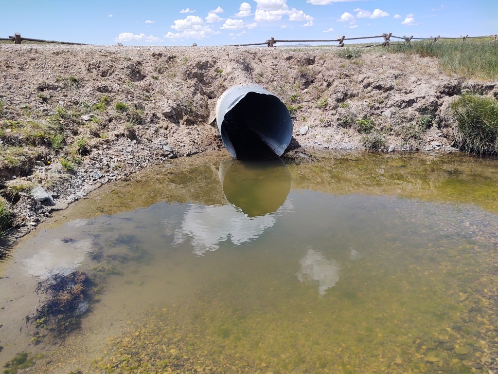
When we got to the Harris Slough, we watered up a bit and soaked our hot and swollen feet in its icy pools.
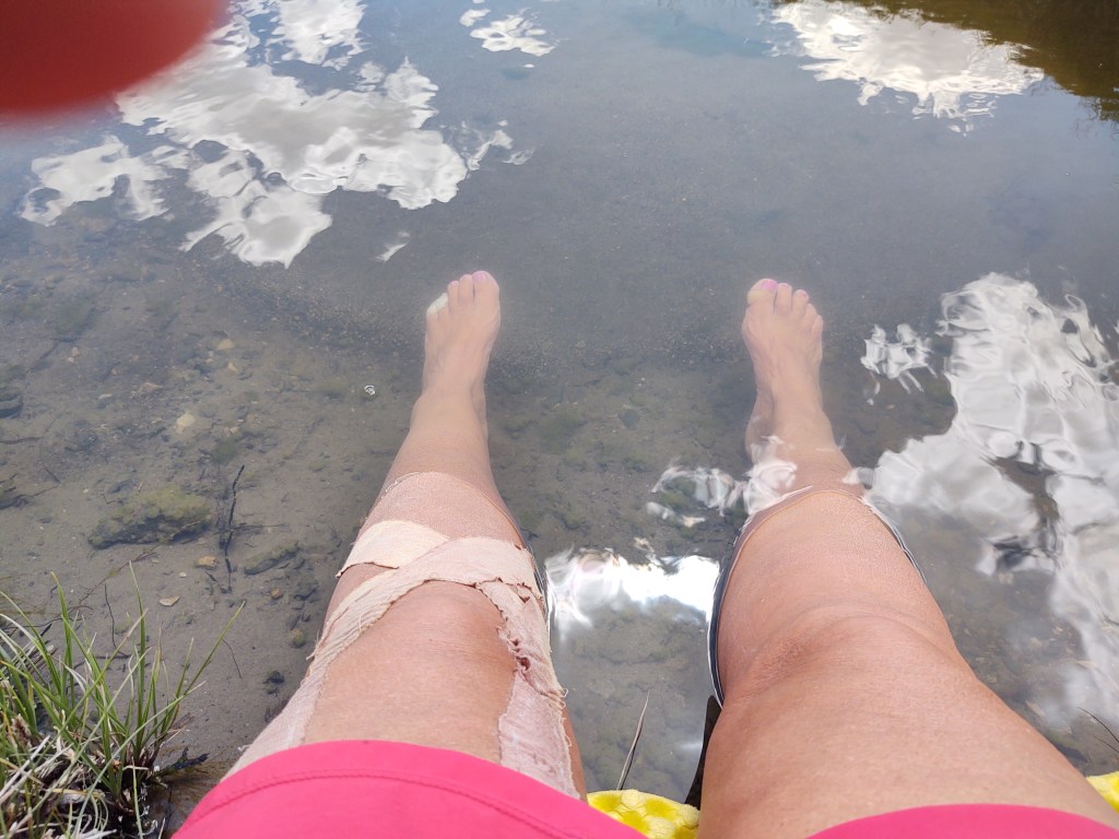
We tried to entice the tiny minnows to “feast” on our calloused feet, like in those fancy pedicure places, but we had no takers.
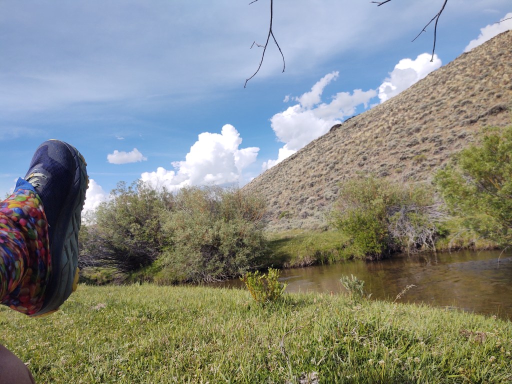
Next stop was the breathtakingly beautiful Sweetwater River, and a much needed bath. We didn’t bother to strip down, but soaped up (with biodegradable Camp Soap) and did our best to rid ourselves of the grime and nearly unbearable stank.
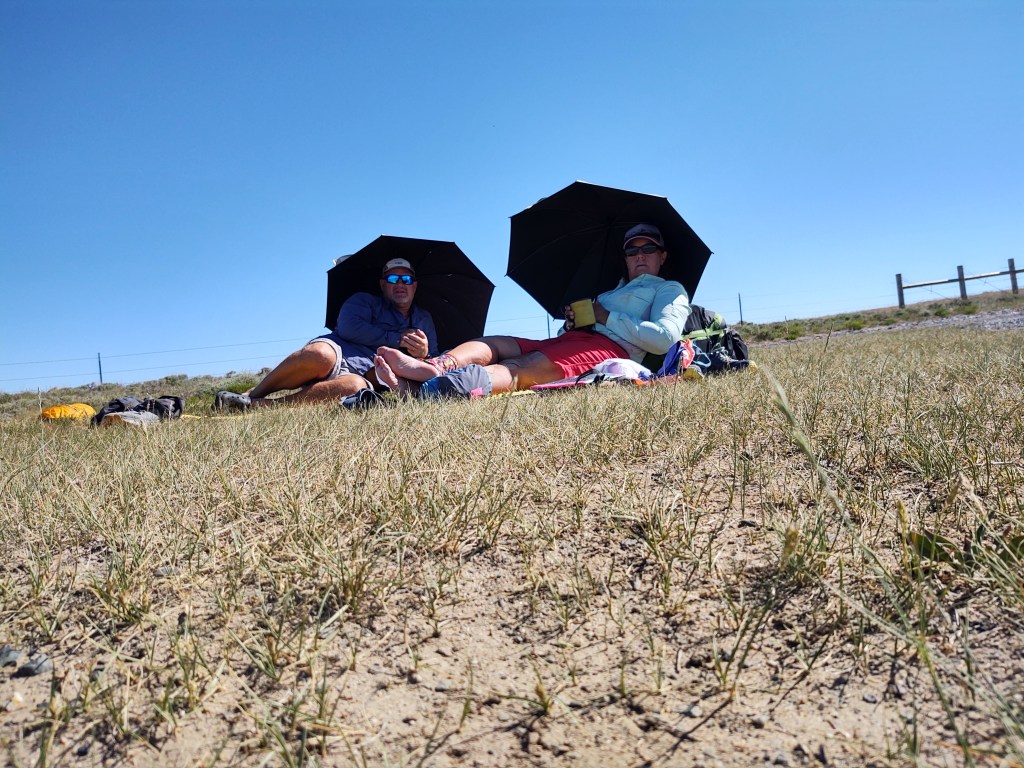
Once “clean” and refreshed, we started on our way once again. We didn’t make it far (5 minutes), as it was still ridiculously hot. Instead we took the first turn-off down to Willow Creek. Here we spent the rest of the afternoon lounging on soft grass, in the shade of young Willow trees, by a swiftly flowing creek, waiting out the heat.
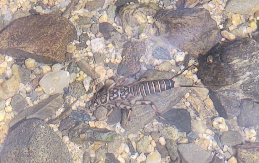
I made an interesting discovery in the creek looking for fish. I found a Mayfly larve. I fly fish with Mayflies, but have never seen Mayfly larve.
Rather than carrying our water for dinner, we decided to dine at the creek. This made for a lighter carry, and we resumed walking toward the “cooler” part of the day. The sun does not set till well after 9 pm so we had plenty of daylight to do another 4-6 miles.
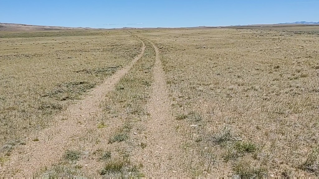
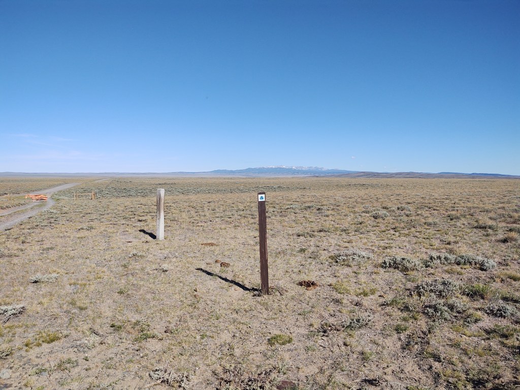
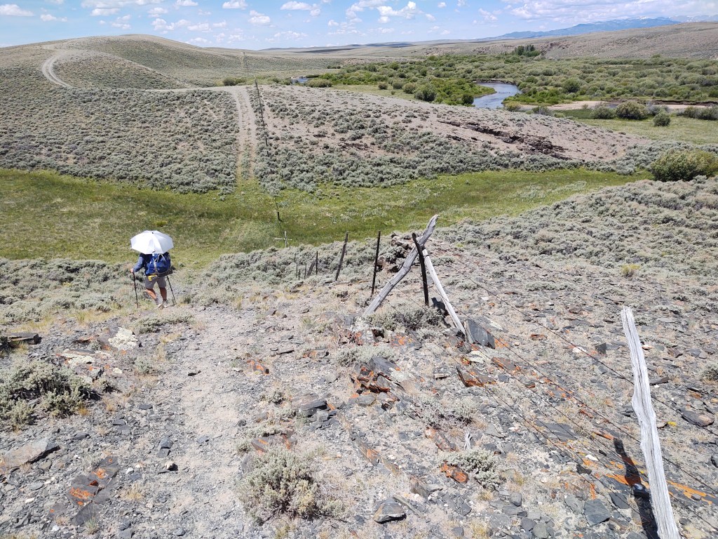
We followed the trail markers and confirmed our path with Guthook. Suddenly the “easy” tread of ranch roads disappeared, but the trail markers and Guthook had us bushwacking overland through the Sagebrush.
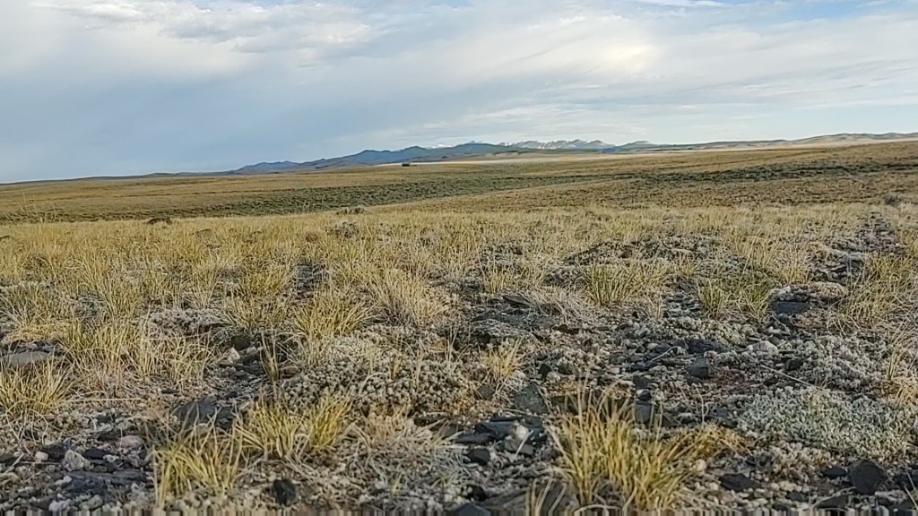
This was toward twilight, and considering the likelihood of stepping over a bush and onto a snake, or overturning an ankle, we searched for an alternative. We honestly have it a good “college try”, but eventually said “F-it. What are we doing?!” There also was no place for us to adequately set up our tent. Luckily 3/10th of a mile from where we stood was a road that parallels the CDT trail. Even better, said road eventually intersects with the CDT. This was a “no brainer”. We took our heading and began to walk in the direction of the road. Miraculously I found a “game” trail that led directly to the road. (I strongly suspect that most people on the CDT get to the point where we were and decide to do the same thing. Hence the “game” trail.
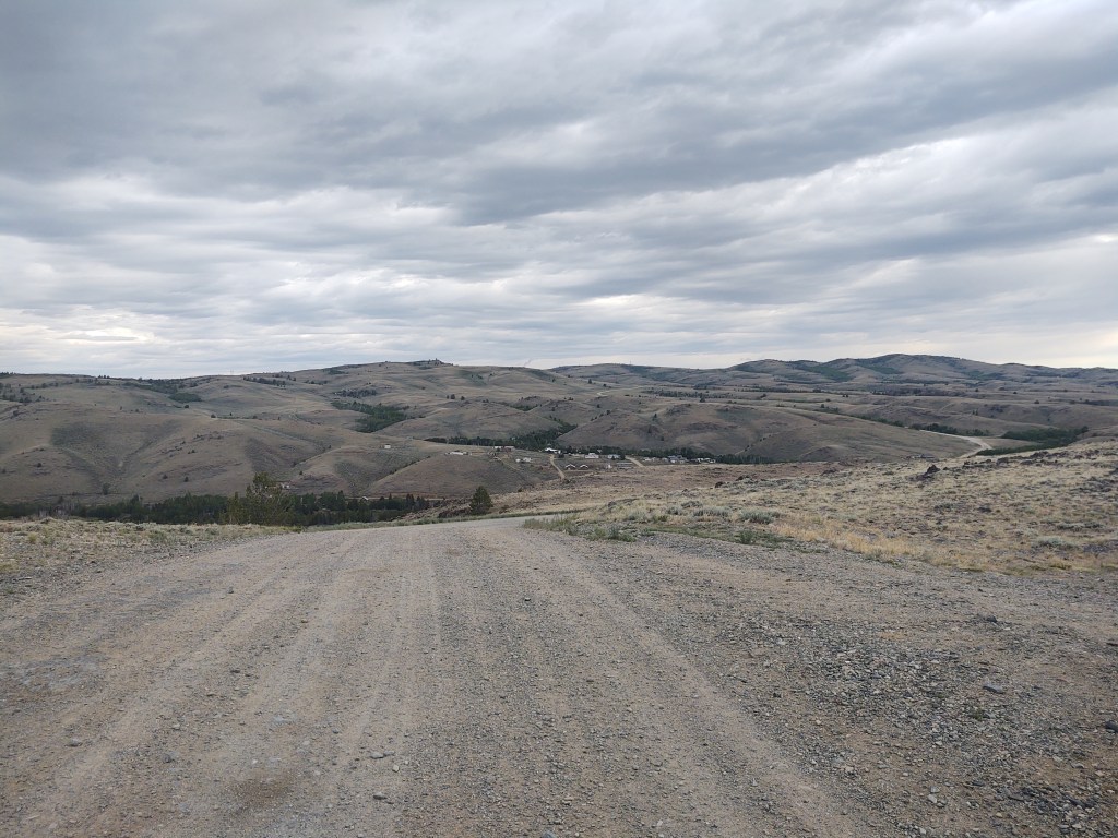
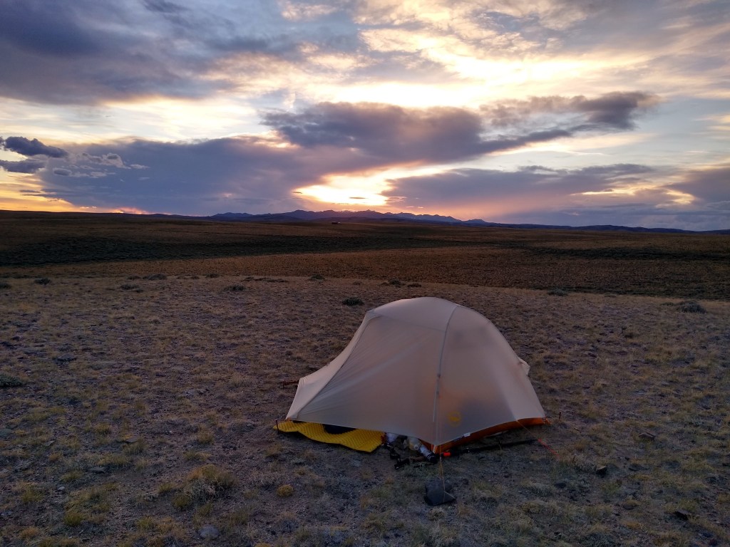
Once we reached the road we were greeted with a magnificent headwind. We walked until we found a safe place off the improved gravel road to camp for the night. The wind howled and the skies threatened to rain. We took an inventory of our food and decided that a side trip to Atlantic City was in order. And with that we went to sleep as our tent leaned sideways in the wind.

That was a cool story. We met on a ski lift in colorado!!
Colorado?
Thank you for the background stories. This is what sets your blogging apart from others. Way to enjoy the journey. A little lollygagging is perfect!
Lollygaging in Dubios now
Riding the jackaloupe I’m sure!