And so it begins…
Day4: (19.8 miles)
mile 42.6 – 62.4 / 5942 ft – 4703 ft
My, my what a day. In short it went like this:
Snow, heavy (blizzard like) snow, wind and snow, gusty wind (enough to knock you over) with a “touch” of snow, bit O’ sunshine, more snow and gusty wind, bit O’ sunshine, HAIL (the size of little bean bag balls), hail @ 45 degrees, hail @ 90 degrees, bit O’ sunshine, super gusty gale force (enough to knock you off balance) winds and finally just WIND at a constant 25 mph or so, of which we now affectionately refer to as a “breeze”. Set up tent on dirt road at mile 62.4 and call it a day. Now for the long overdue details.
Wring out your wet…
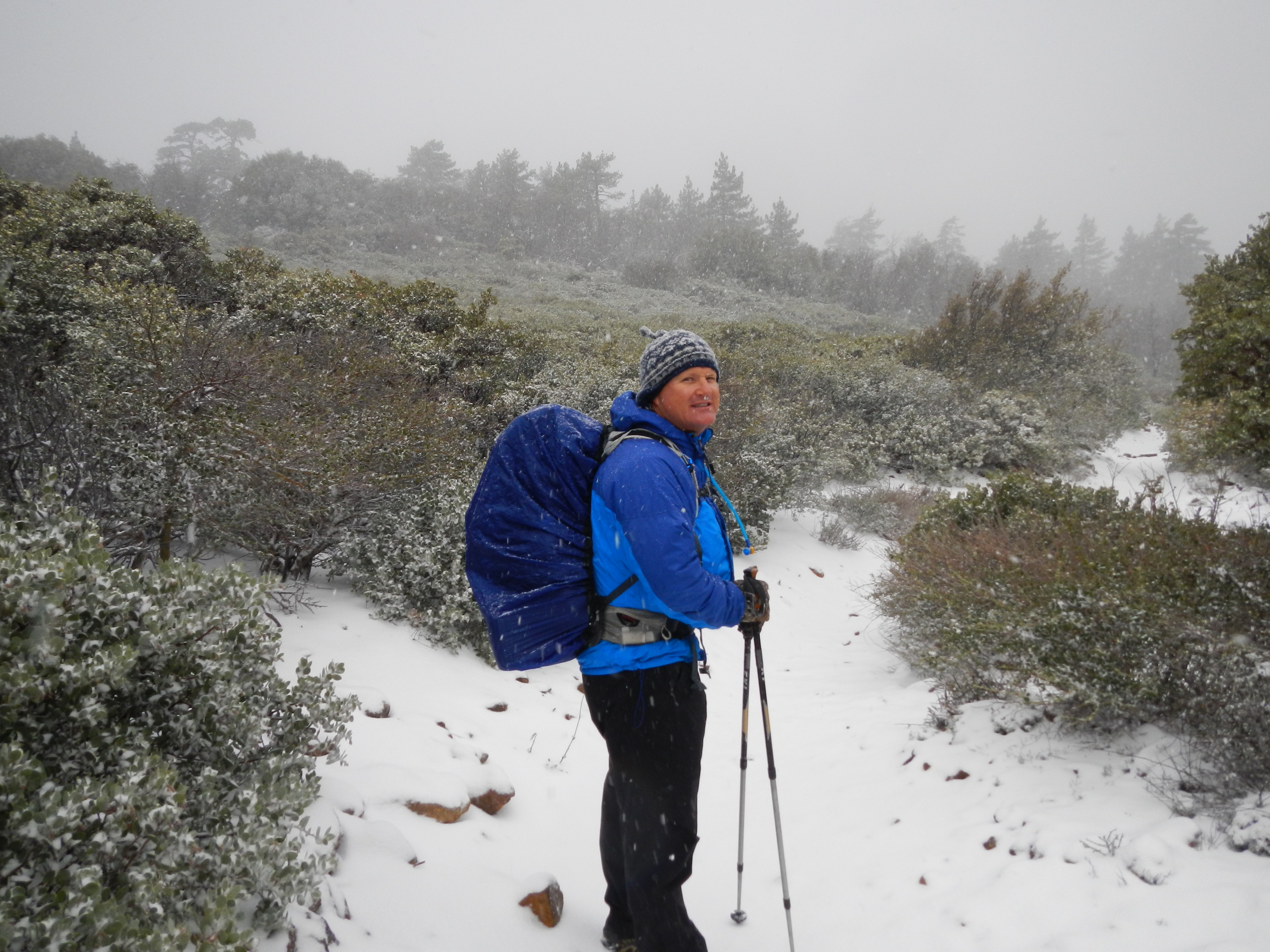
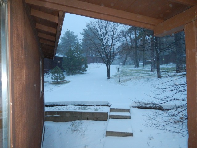
So the night before while we dried out at Mt. Laguna we met some other PCT hikers (Big Easy – cause he’s from New Orleans and his wife “Bulldog II”, cause her mom was “Bulldog I”, Thayer (no trial name yet), Alison (no trail name yet however “Little Miss Sunshine” would work on account of her constant optimism and cheery disposition), and “Paint” as in “Paint your wagon”, cause he looks like one of the characters from the movie…and he was, quite the character, and an absolute treat. He had some hilarious stories that involved found single M&Ms and a Bottle of Vodka. Paint is on his third thru-hiking attempt. It was nice to finally talk with some other thru-hikers and get their take on the trail and what motivated them to do this “thing”. Each had their own motivation, which were of equal value and made sense. As the hour reached hiker “midnight” (9 pm) we dispersed back to our respective hovels in preparation for the next days’ venture. We had decided based upon the extended forecast that we would pack our bags fully, and be prepared to leave at first light, as we had not seen glimpse of snow or even rain after we got our room…go figure. The sun actually came out and the wind stopped! This however, was the calm before the NEXT storm. Somewhere about 0300 in the morning the wind began to gust, but still no sign of rain or snow. Good so far. Beep. Beep. Beep. The alarm goes off at 0530, there’s a “light” dusting of snow (translation, 1-2 inches). We get up and begin to dress…warmly, and prepare for battle with good old Mother Nature. We take our time ensuring everything is secured and water tight. We check the weather forecast on the “smart phone” (Android), because the local new is saying diddily squat. Per Accuweather on the Android, it should clear up by 1100 and start to subside by 0900. We think, how bad can it be? It’s not like it’s raining, and besides we’ve skied in snow storms worse than this. The plan is to “walk” our way out of the storm as we, in theory, will be mostly descending in elevation, thus out of the wrathful weather. Hoods on and pulled tight, gloved up, packs secured and off into a winter wonderland we go. We drop off our room key in the night drop box and make our way down the road to join the PCT. As we pass by the Mt. Laguna store, the shop keeper is out front smoking a cigarette. We ask if anyone else has left yet (it’s 0730 in the morning). He shakes his head, flicks the embers off his cigarette and says, “Nope. You guys heading out?” ‘Yep’, we reply cheerfully. He then wishes us a safe journey, saying gruffly, “Give ’em Hell”, then takes another long drag of his cigarette shaking his head like we are crazy or something. It’s 28 degrees and the wind chill makes it more like 14 degrees. Walk yourself warm became the days’ motto. As we pass by the store, we see a San Diego Channel 10 news van. We figure they’re up here to catch some snow pictures. As we pass by the van, a female newscaster (Hannah Mullins) and her cameraman leap out of the van and yell to us, “What are you doing? Where are you going?” Paul responds matter of factly”, ‘We’re walking to Canada’. Mullens is obviously perplexed, and it’s obvious that she has no idea that the PCT hiking season is upon her, or frankly what the PCT is. She yells at us (cause the wind is gusting wildly) “Will you talk to us for a few minutes?” We look at each other, shrug our shoulders…why not, and reply ‘sure but it’s got to be quick, we don’t want to get cold’. Again Mullens makes a puzzled look. The cameraman chuckles. We do a quick interview about what we are doing, hiking obviously, and the why…bucket list, and the how far/long…2650 miles/5 months, what states the PCT goes through, and that’s we’re not bothered by the snow as we have skied in worse conditions (mainly cause we are cheap and dog gone it we’re gonna get our monies worth out of those overpriced lift tickets if we have to freeze to death to do it…and we nearly have on more than one occasion). Mullens looks to me, as Paul has done most of the talking, and asks something to the effect of what do I think of all this, to which I reply and finish the interview with ‘It’s good to play outside’. (Unfortunately none of this makes the morning or evening news as apparently icicles on the fender of their news van is more interesting. (see http://www.10news.com/news/pacific-storm-system-brings-rain-snow-to-san-diego-county) Now begins the “fun”. First order of business. Find the trail. Per Halfmile’s maps, the trail should be right off a road, just past the store. Before we take that road, we check the app on the Android. The PCT is 378 feet from our location. We walk holding it like a divining rod as we plod closer and closure to the PCT. We spy what looks like a trail in the snow, and the app says we are now 78 feet from the trial. We walk to what we think IS the trail. We are now 178 feet from the PCT! Argh! What is the matter? The arrow is now pointing in the direction we are NOT traveling. Hmmm. It appears we can not get there from here unless we bushwhack. Bushwhack it is. What the hell, we’re hiking in a blizzard, why not increased the degree of difficultly. Nothing ventured, nothing gained. Bushwhacking works. We are on the PCT and heading in the right direction…towards Canada. The scenery is glorious, childhood memories of frolicking in the snow rush over us.
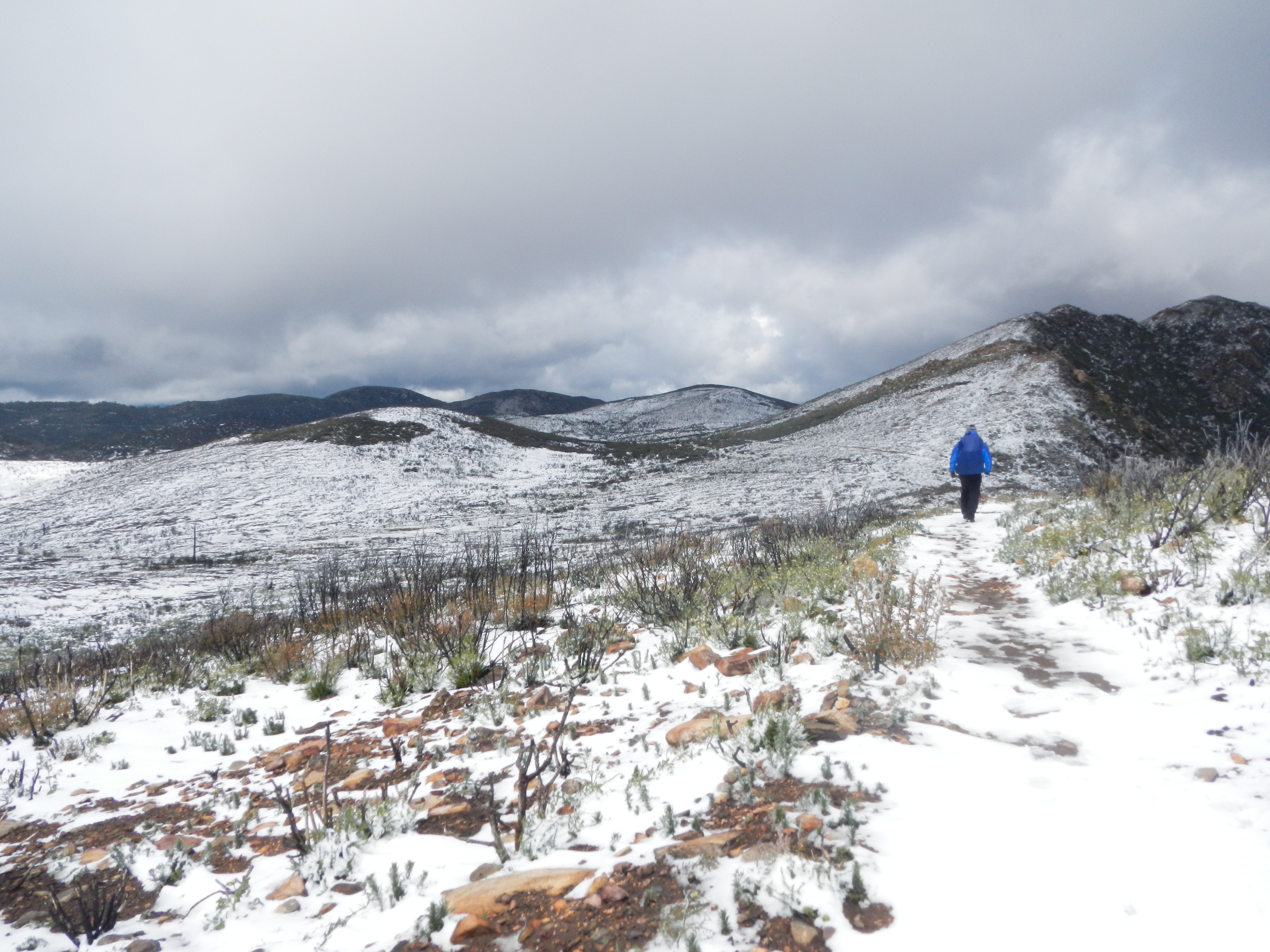
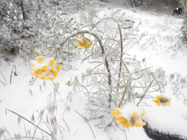 The trail is literally carpeted in snow. It was truly like walking on new Berber carpeting. Snow is now falling in large flakes as we wind our way through the pines. We are almost too warm and start to sweat. We vent our jackets to let out some heat. As the trees thin, the wind gusts from our left to our right. We put our heads down and lean toward the wind. We keep our eyes ahead surveying overhanging branches in hopes of avoiding a widow-maker (branch that falls suddenly). We are sparred.
 Ours are the only tracks in the snow as our boots sink 2-4 inches with each step. Our pace is brisk, our spirits are high and we revel in the fact that we have this beautiful experience all to ourselves, and that yes, it is a fact…we are truly crazy.
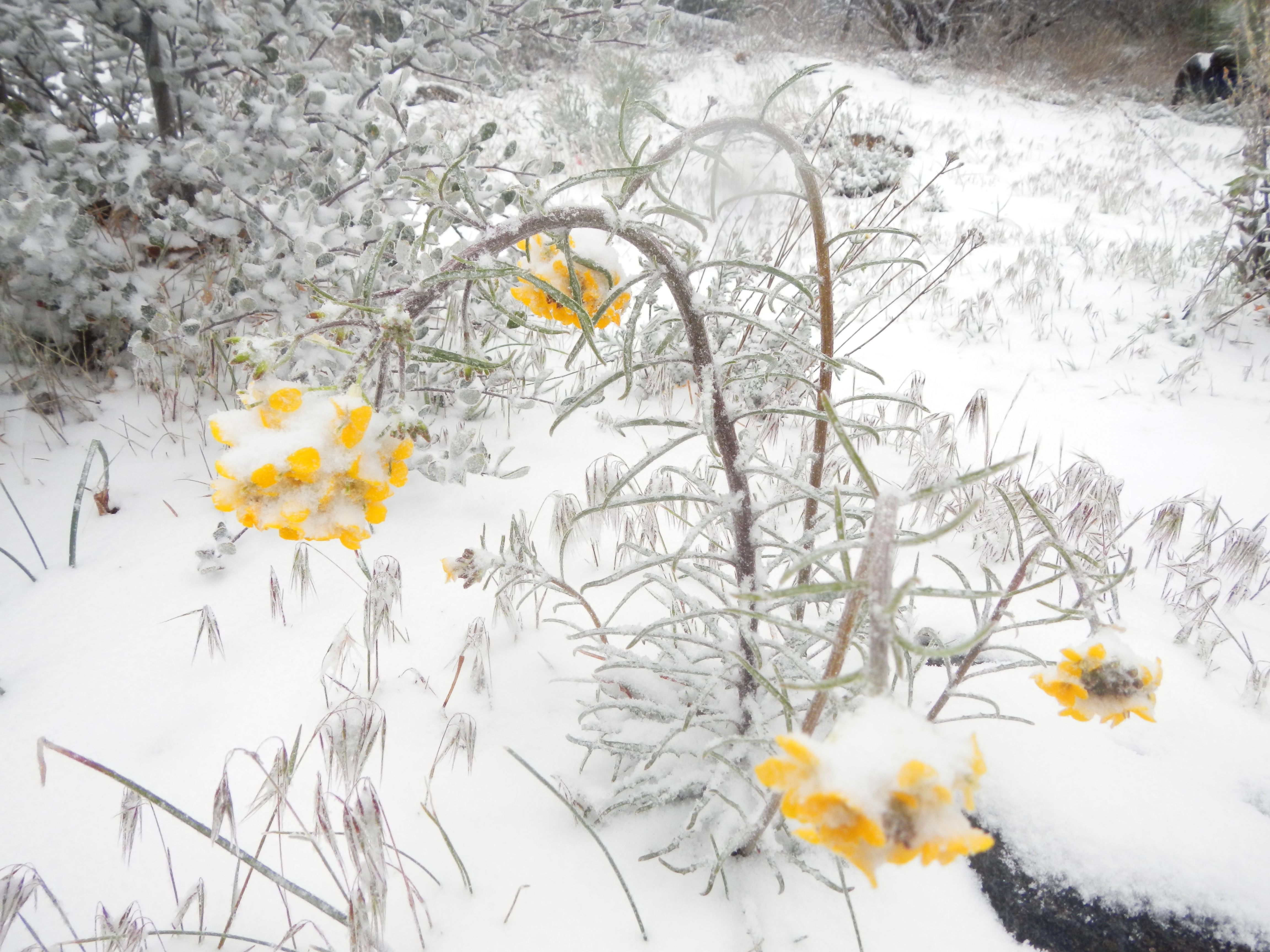
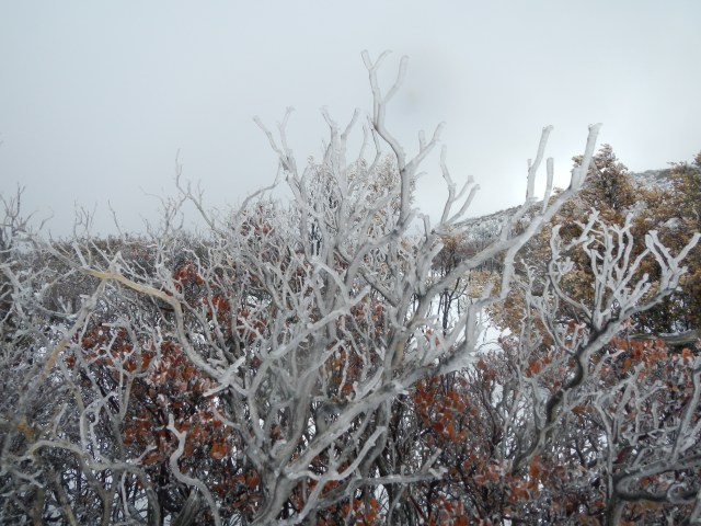 The snow continues as do we. We apparently both have our jobs to do, and neither will stopped or disuaded. Snot runs freely as our nostrils work overtime to stay moist and warm the frigid air. We notice bobcat and coyote tracks in the snow, and an occasional rabbit (which would account for the bobcat and coyote).
 It appears that we are not the only ones out and about this morning. The snow dissipates slightly and the wind stays a steady 25 mph with 30-40 mph gusts that cause us to walk like drunken sailors (or lifeguards…take your pick) as we slog through wind blown drifts of snow in the trail. We walk just below an observation deck and a man who is surveying the view, hails us exclaiming, “You gotta really love nature, to be out in weather like this. Most people wouldn’t even think to do what you are doing. They’d think you’re crazy”. ‘Yes were are’ was our reply. ‘We’re on an adventure. We’re walking to Canada’. “Good for you”, the man says heartily. “Good for you!” We continue on. At times the sun peeks out, which makes us giddy. We decide to play a game of ‘sing a sunshine song’ every time the sun comes out. We sucked at that game, as 1. we can’t really sing and 2. we don’t know the words to most of the songs, we recalled that had something to do with sunshine or sun in it. Finally it stopped snowing, but the wind was relentless to the point it became not annoying or even challenging, but just plain funny…stupid funny, and so began trail delirium. Maybe we weren’t really on the PCT at all. Maybe, just maybe we had entered a time warp, walked waaay tooo far and were now on the Yukon trail.
 Or, maybe we had traveled back in time to Robert Falcon Scott’s ill fated expedition to Antarctica.
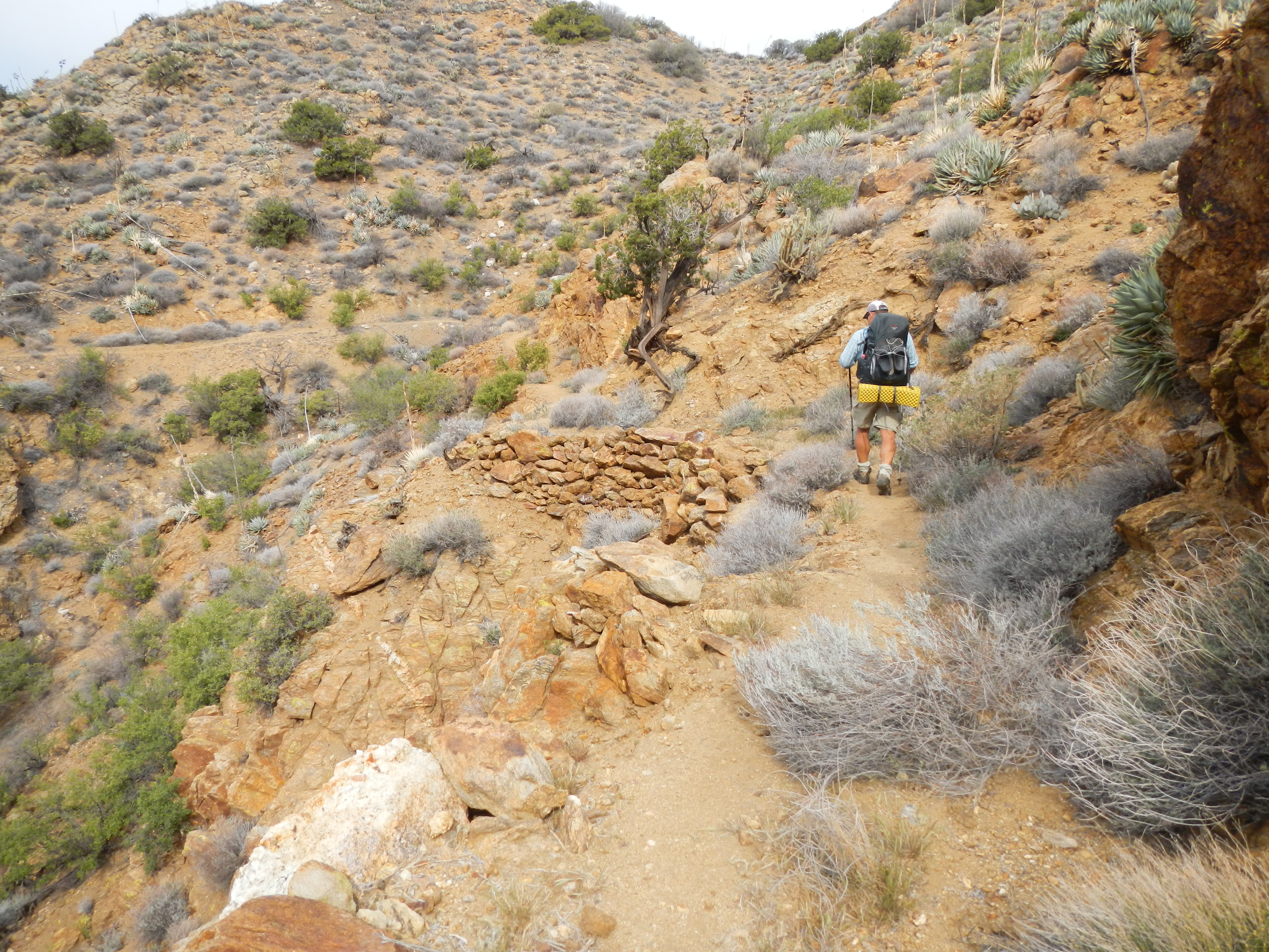
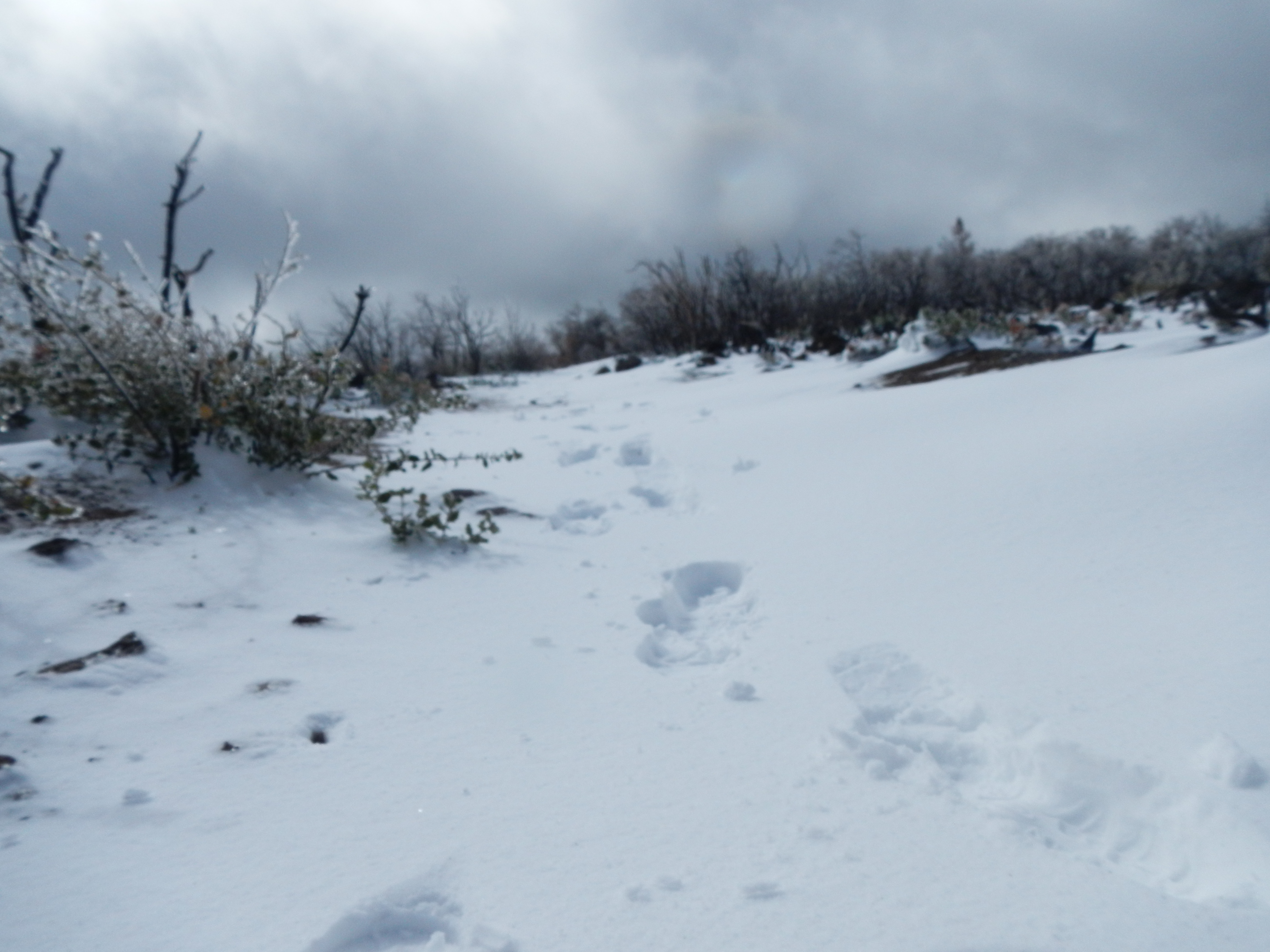
 The possibilities were endless and a perfect distraction as we marched ever onward, determined to walk ourselves OUT of the weather. At one point we saw tracks in the snow ahead of us. How could that be? We honestly didn’t recall anyone passing us, but then we did think we were in the Yukon at one point. We saw several sets of prints, one consistent with a female and another of two different males (it’s a man-tracker thing). It would not be until the next evening that we were able to solve that mystery. Once we reached Pioneer Mail campground, we stopped for a break and lunch. Cars would drive in and out of the campground, yet no one was camping. We half, no strike that, we fervently hoped the cars were arriving to lavish us with trail magic, like a hot drink or whiskey. Reality check…NO. No sooner had we taken our boots off and broken out lunch which comprised of some salami, BBQ chips and cheese all rolled up into a tortilla we began to be pelted by bean bag sized hail. It started off slowly, almost teasingly, then the flood gates opened and we were peppered like losers in a paint ball game. Hurriedly boots were re-applied, and whom should appear just as we were about to shove off, but Eng-Shien and Erhhung the two guys we met day one at Lake Morena, and now dubbed the “Imaginary Friends”. They earned the trail name of “Imaginary Friends” as they were always talking about their “friends” who were ALWAYS ahead of them, but no one ever saw. Yes that’s right Eng, no one, not even sweet Alison could confirm said friends existed. Ha! (inside trail humor). They had let out an hour after us and were now stopping for lunch. Good luck with that guys. Next stop, and to water up would be Sunrise Trailhead where we had stashed some water nearby the cache already there. Off into the wild white yonder we leaned. The trail out of Pioneer Mail follows what appears to be the old route for the Sunrise Hwy.
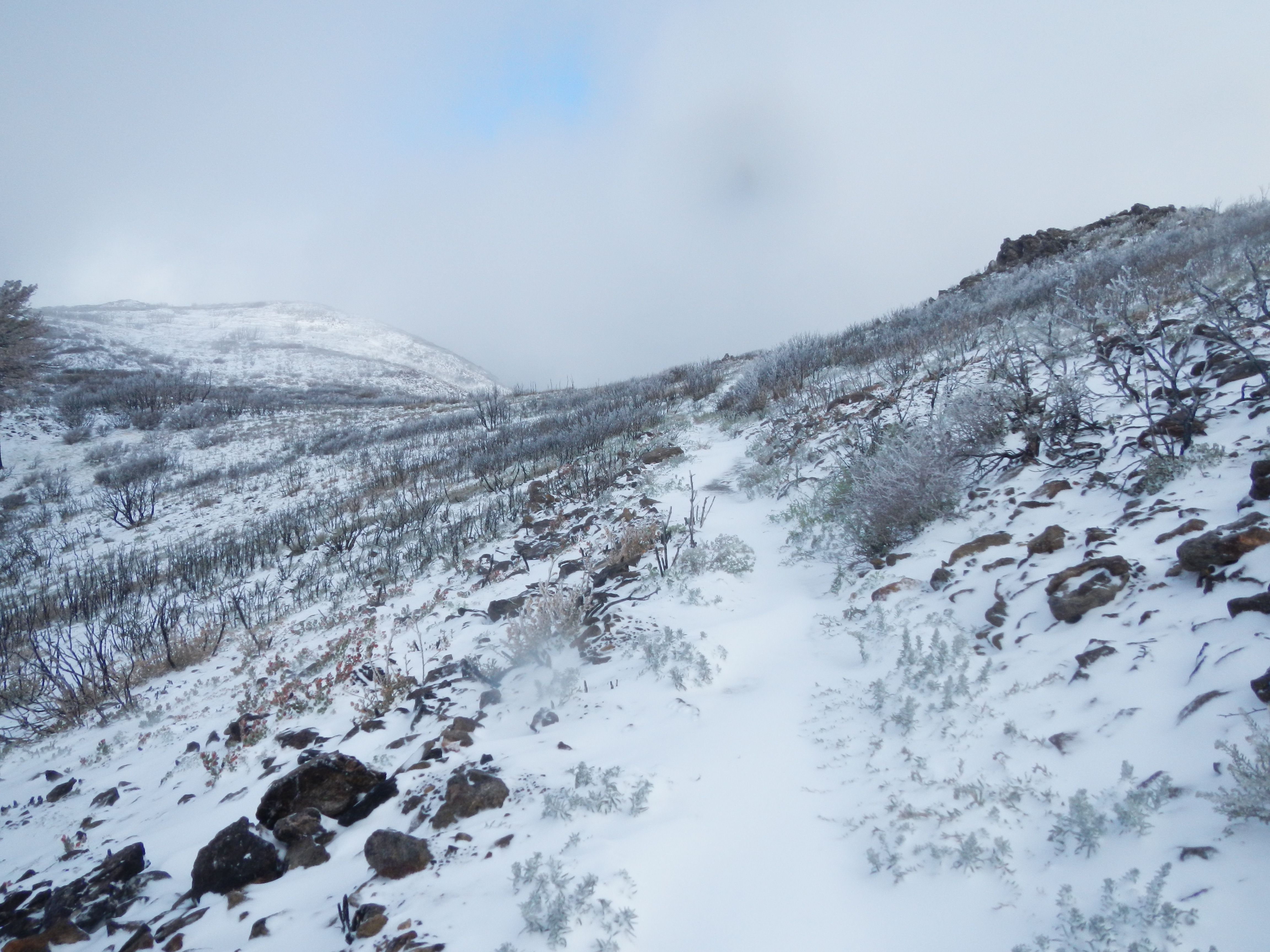

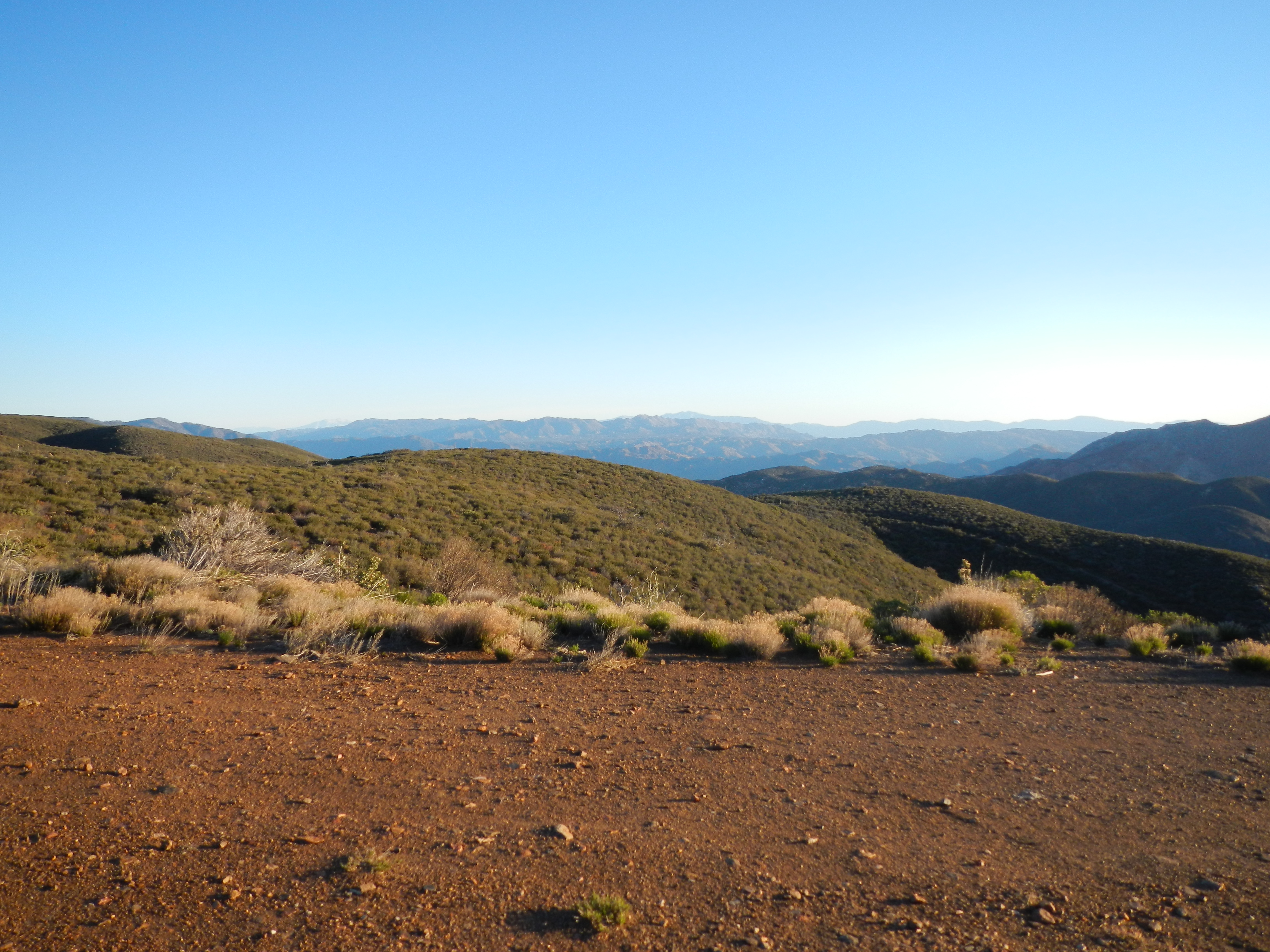
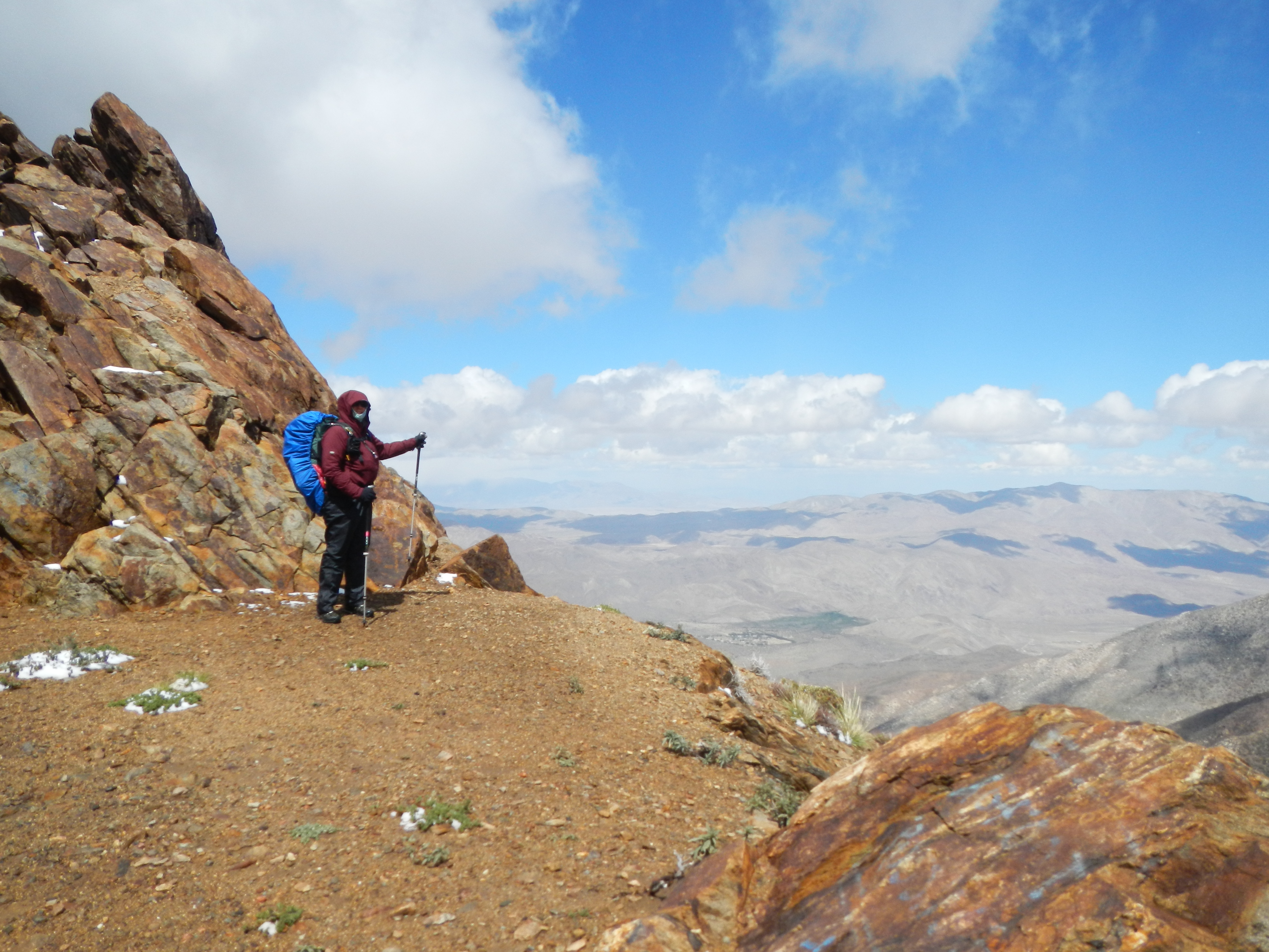
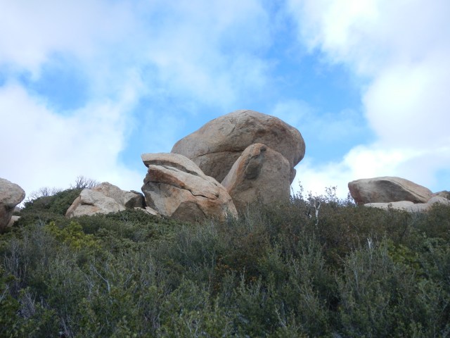
Edge of Old Sunrise Hwy
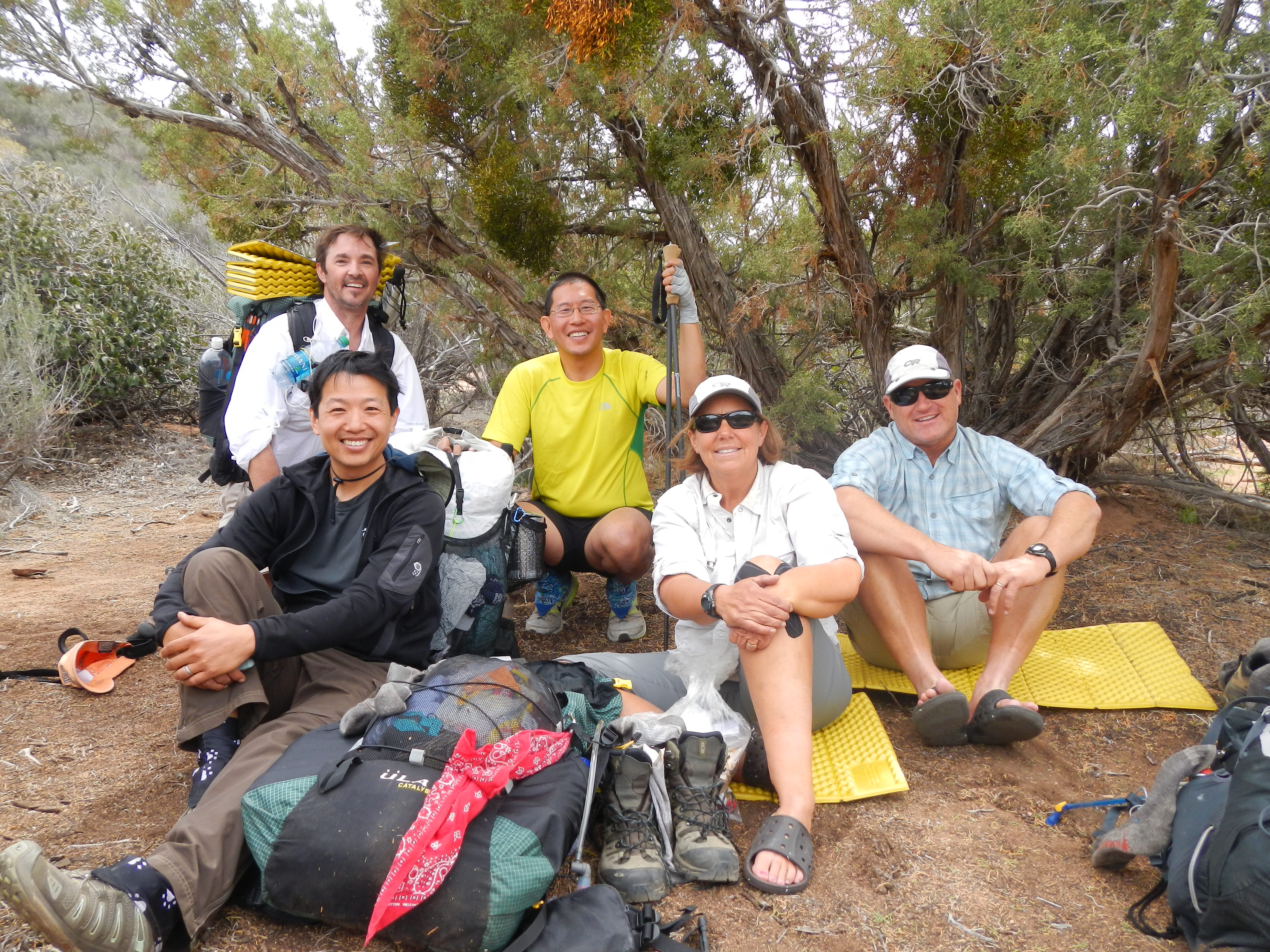
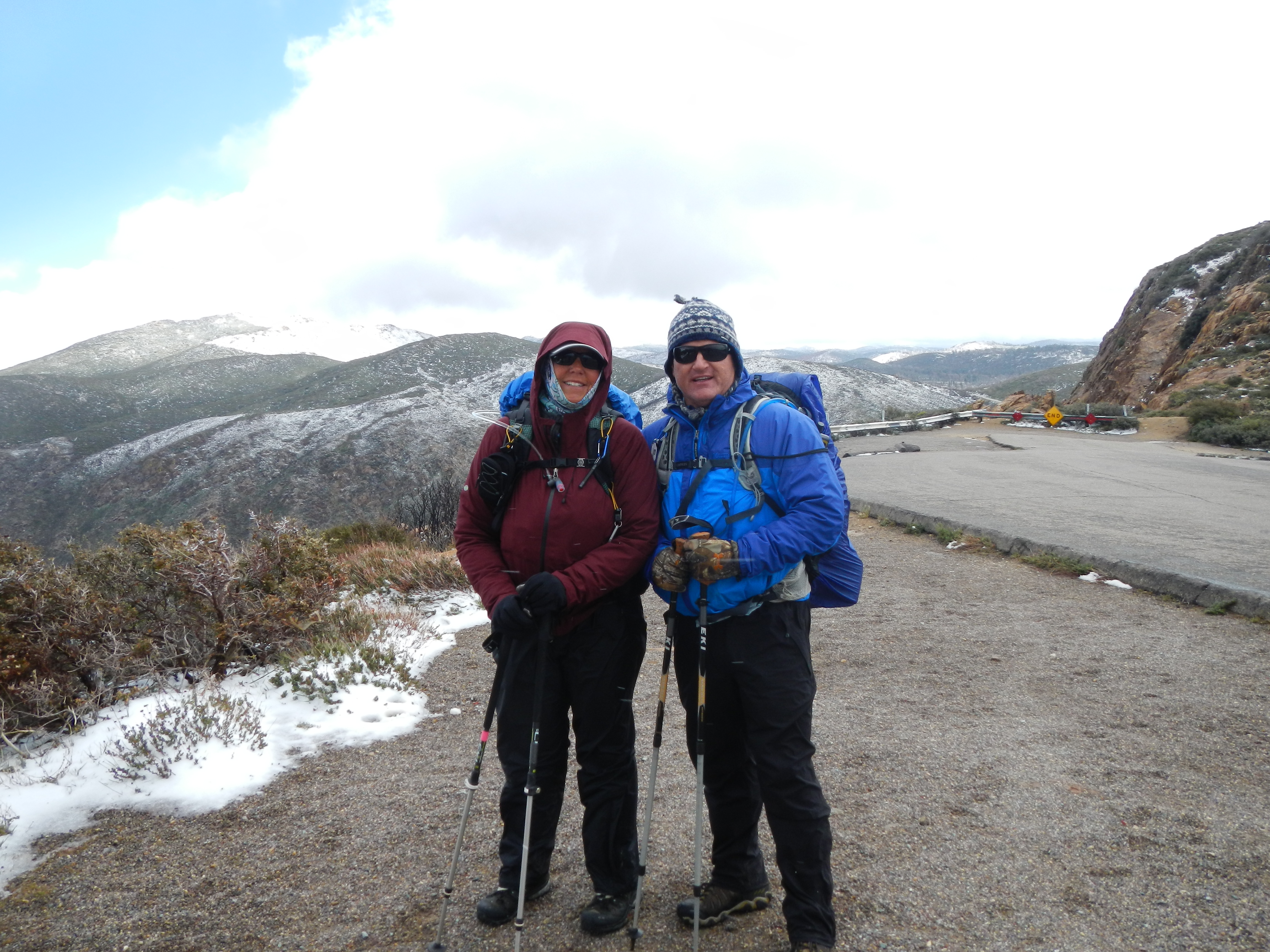
It heralded fabulous views of the desert below, devoid of cold and snow. Windier than the end of an automatic car wash though, which would explain why it’s a popular launch site for hang gliders. (and not very successful ones I might add as there were all these “In Memory Of…” plaques pasted to the stone edifices. Note to self…do not take up hang gliding.) We trudged past a happy couple and their dog who were enjoying the view and cajoled them into taking our picture. (while we are often seen together, there is little photographic proof that we are in fact together) As the “Imaginary Friends” are younger and hike much faster than either of us, they quickly caught up and passed us, however we ran into them once more at the Sunrise trailhead water cache. There we attempted to take a picture of the four of us as we really didn’t expect to see them again except maybe for the Kick-Off.

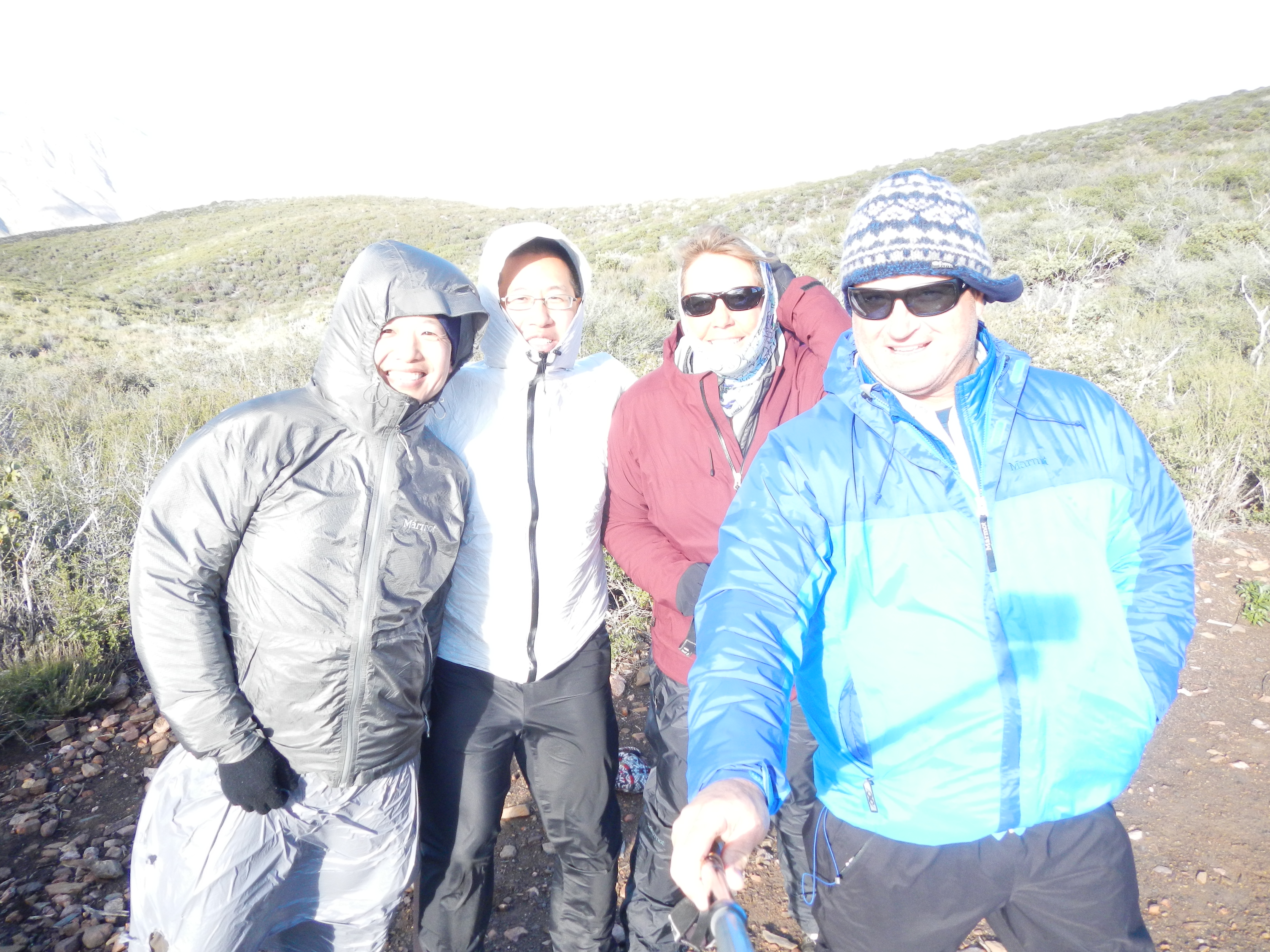
Erhhung, Eng-Shien and us
We laughed and lamented about the snow, wind and hail, and how many times we nearly got blown over (the edge). We were glad we were out of the snow, but unfortunately not the wind.
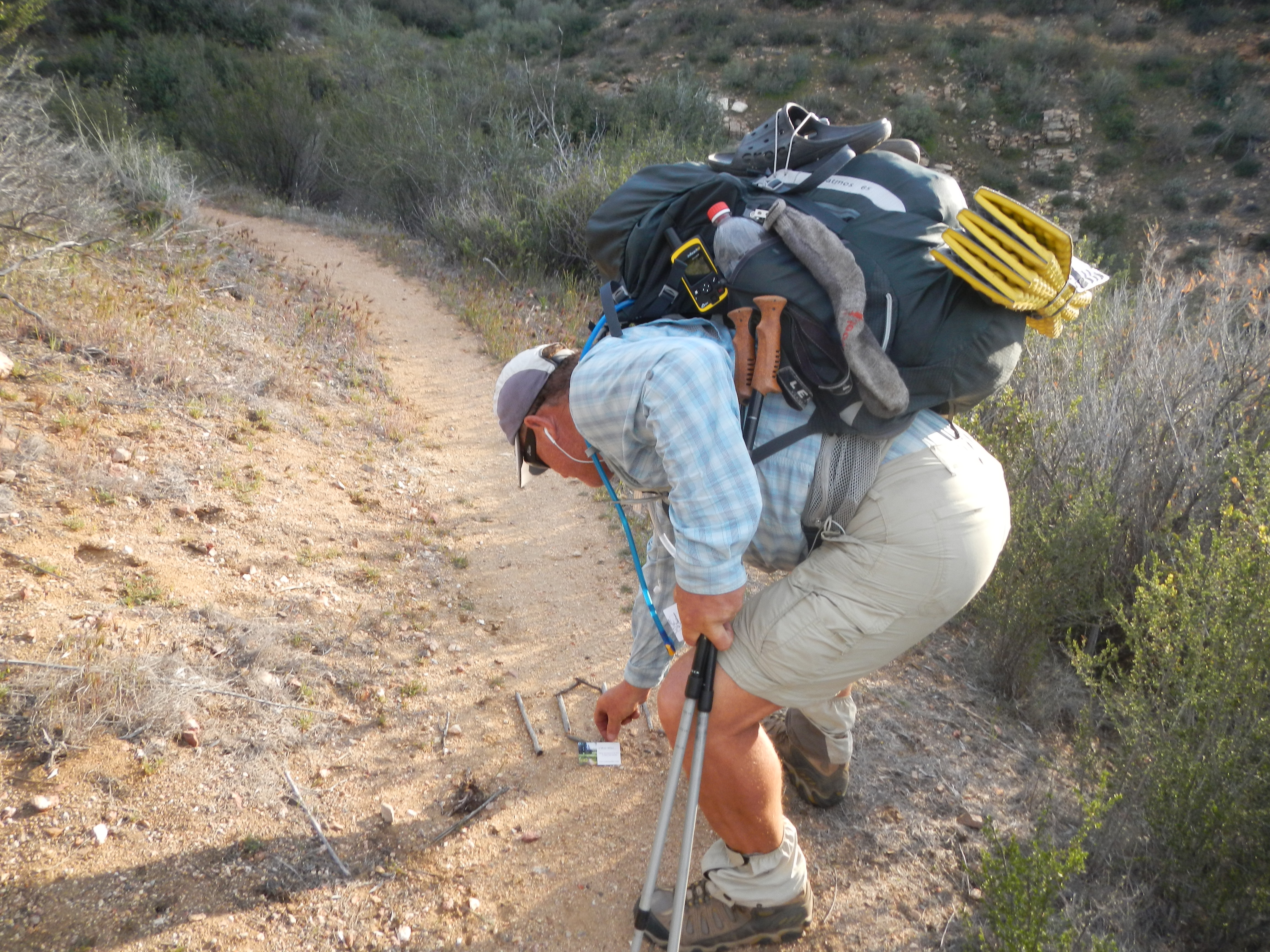
Peaceful you think? NO! It was gusting over 40mph. It was everything I could do to stay upright while taking this photo.
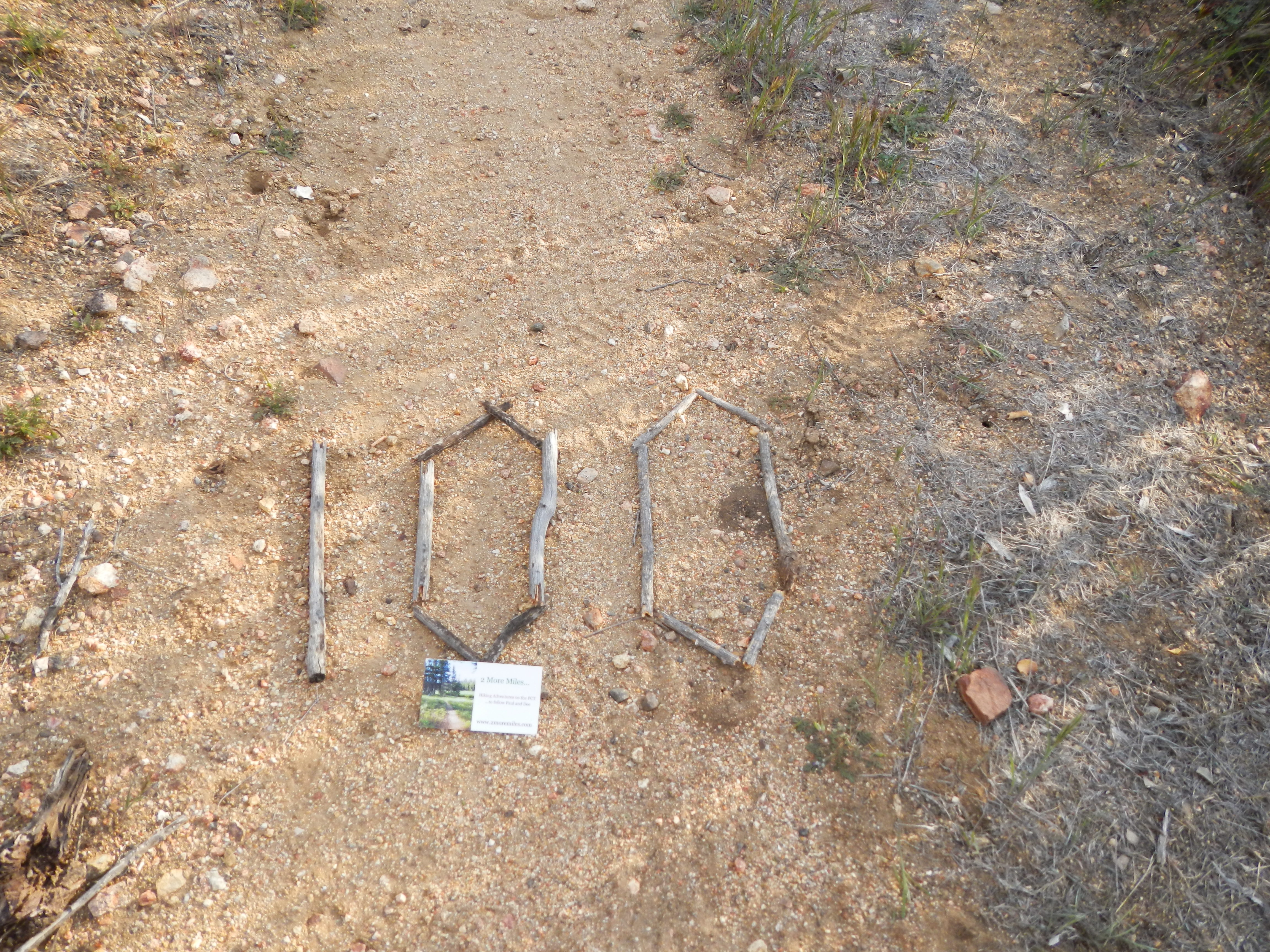
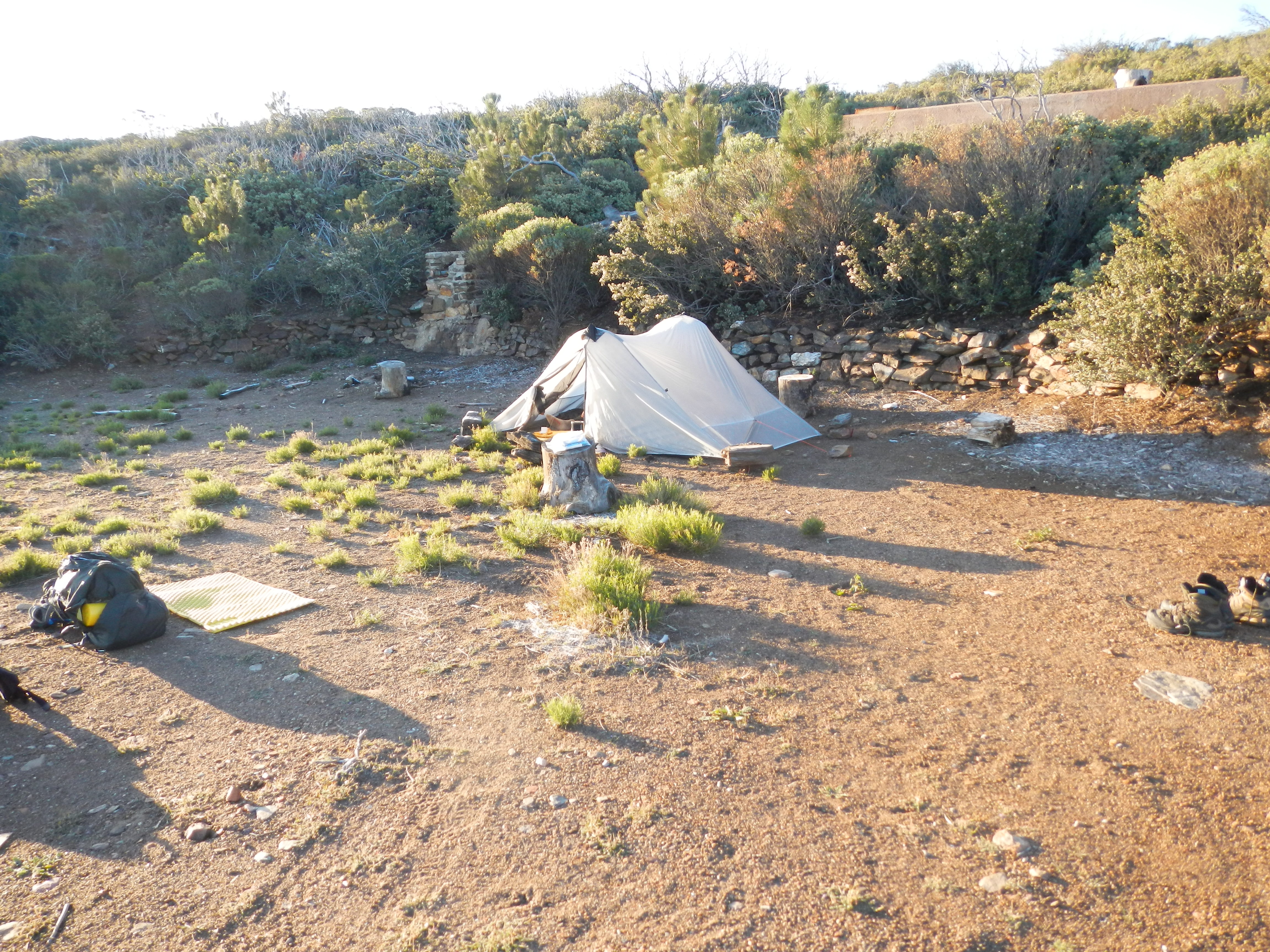
The wind had blown so hard that it had ripped Erhhung’s newly purchased pack cover right off his back without him knowing it…until stopping to get water. We discussed what our final destinations were for the day. Goal #1, to get to lower elevation and out of the wind, as for us, there would be no way in hell that we would be able to erect our tent in the current blusterfest. Mile 64 would be the goal as “Imaginary Friend”, Eng’s imaginary friends told him they were at mile 64 and setting up camp. (we later found out their “friends” weren’t there but had moved on, thus further solidifying the trail name…in our book). By mile 60 we were more than beat and not confident that we would make it to 64 before darkness had set in. We decided to invoke the “2 more miles” rule and gut it out all the while looking for a flat piece of real-estate, out of the wind. This was kind of hard to find and generally non-existent in low lying chaparell…but we kept a watchful eye out for the right spot. Soon (as in 2 more miles) we spied a dirt road off to our right. We considered its plausibility. It would be out of the wind. It appeared relatively flat, although definitely slanted downhill. It appeared well maintained. We then envisioned us being run over by some drunk off-roading teenagers in the middle of the night because they didn’t see our tent set up in the middle of the road until it was too late. Like hell we were going to have survived walking nearly 20 miles through a fricken blizzard, hail and wind storm only to be taken out by some pimply-faced wing-nuts who were off joy riding in Earl’s POS 4×4. NO WAY! So on we walked resigned to push till mile 64 and our “Imaginary Friends”. But wait, what’s that we see off in the near distance? Is that a structure? Could it be an area out of the blusterfest? Were we now truly delirious and seeing things that weren’t there? Not a chance! Low and behold, at mile 62.4, we came upon the most glorious site EVER. It was flat, out of the wind, had a pre-made rock campfire ring, and even large wooden (moveable) stumps upon which to sit comfortably, and a view.
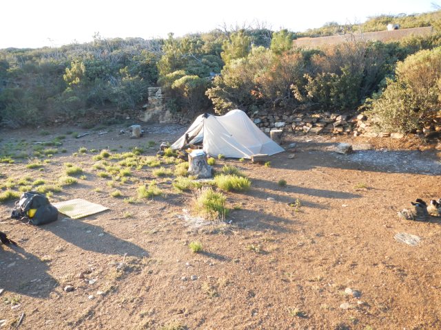
The morning after…peaceful
SCORE! We settled in quickly and reflected on the day. For all it’s hardship and challenges, the beauty and sense of accomplishment made for the BEST DAY EVER! All things being equal, would we do it again? Absolutely! And based on our “luck” we will probably have to do it again…or at least something similar. Bring It!