
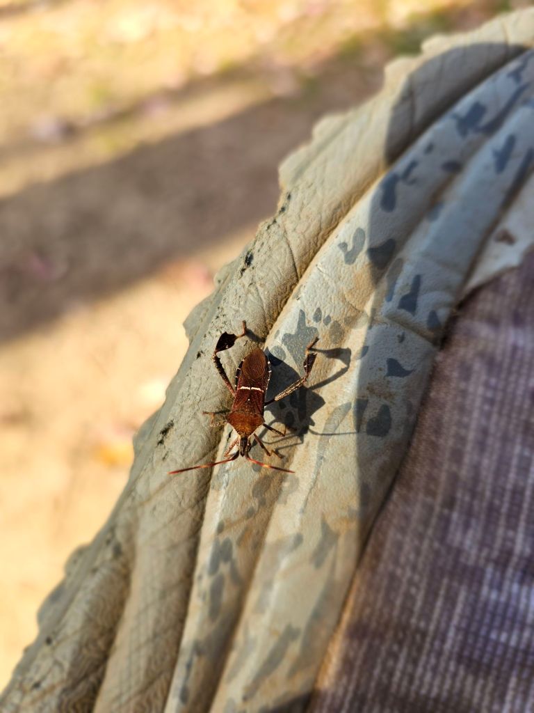
A morning start at Compton Gap set the scene for our entry into the Shenandoah National Park. It appears we missed the celebrated Fall colors here as all the leaves appear to be on the ground. Shades of brown and decaying leaves are the norm now. The air is warm, and the gnats are prolific. So much for the bug spray that Paul has been carrying for the last 100 miles. He dropped it this morning in the hiker box at the Baymont Hotel in Front Royal. If it wasn’t for the hood on my Townshirt, I’d be highly annoyed. At least it keeps the little buggers away from my ears. Once again, I ask the question: Would you rather suffer from Tinnitus or the sound of bugs buzzing in your ears? I can disassociate from Tinnitus. The bugs drive me insane!
We have 107 miles to negotiate of the Shenandoah National Park till Rockfish Gap, and then another 130 miles to Black Horse Gap, before we kick out to Roanoake and then onto Fontana Dam where we’ll hike south to Springer Mountain, Georgia for this year’s finish. Thanks to Hurricane Helene, North Carolina, Tennessee, and parts of Virginia will have to wait.
Day 122 (Oct 30) 16 mi (1230.6 – 1246.6)
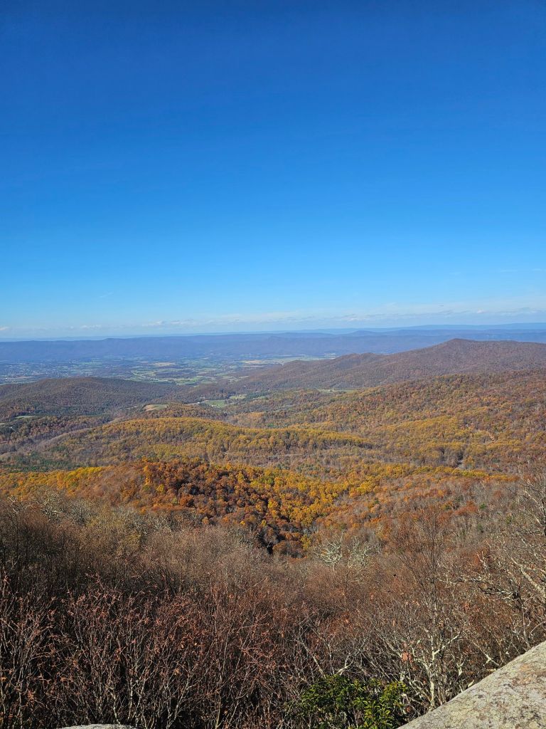
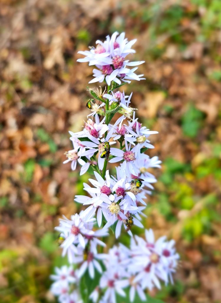
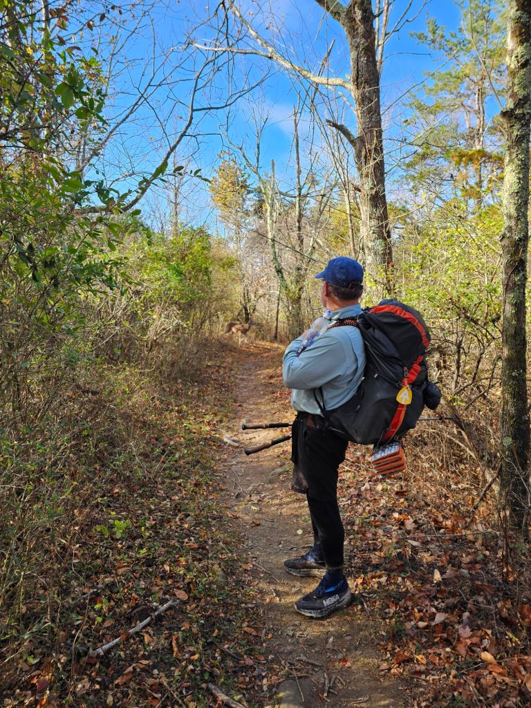
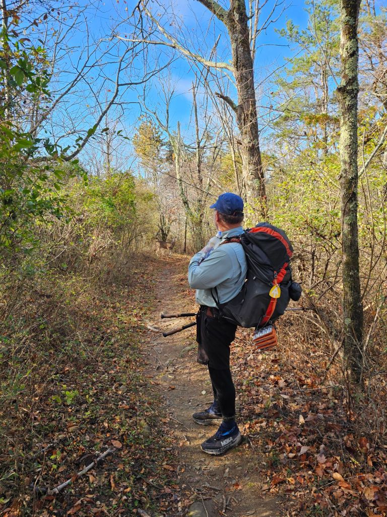
We scheduled a ride out of town and back to trail. To save my foot from a sustained 5-mile climb, ladden down with a 4 day food carry, we opted to get dropped off at the Crawford Trailhead inside the park. Looking at the elevation gain/loss of the Appalachian Trail through the Shenandoah National Park on FarOut , there’d still be more than enough climbs and descents to traverse. The day was quite warm, and as a significant portion of the leaves had fallen from the trees, we could actually see the forest through the trees. The canopy was open, and the sun felt good.

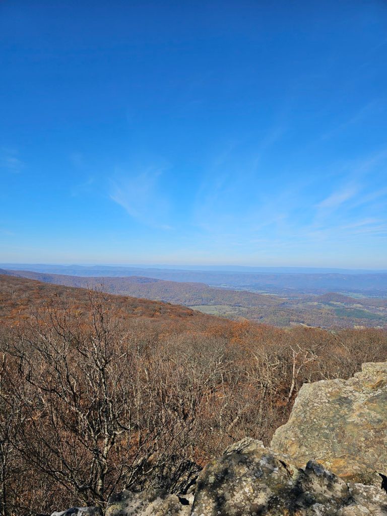
We made good miles. However, there was nothing really spectacular to see as the warm air hung lazily on the horizon. Oh, to have been here 2 or 3 weeks ago, I expect we’d be visually drunk with pleasure.
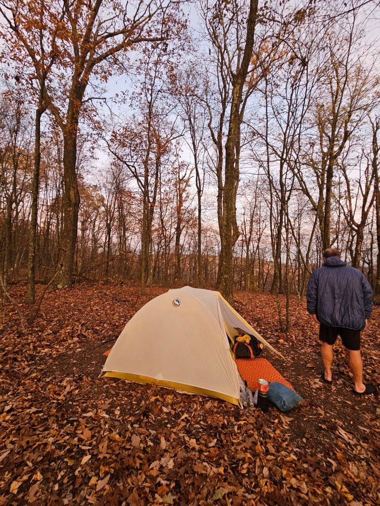
We camped just north of where the Thornton River Trail intersects with the AT, as per recommended on FarOut. We watched as the sun set into a brilliant abyss.

And once the evening darkness closed in, so too did the deer, as if on cue to forage this Ridgeline. We peered put of tent in delight watching another episode of AT TV. The stars weren’t too bad either.

Day 123:(Oct 31) 17mi (1246.6 – 1263.7)
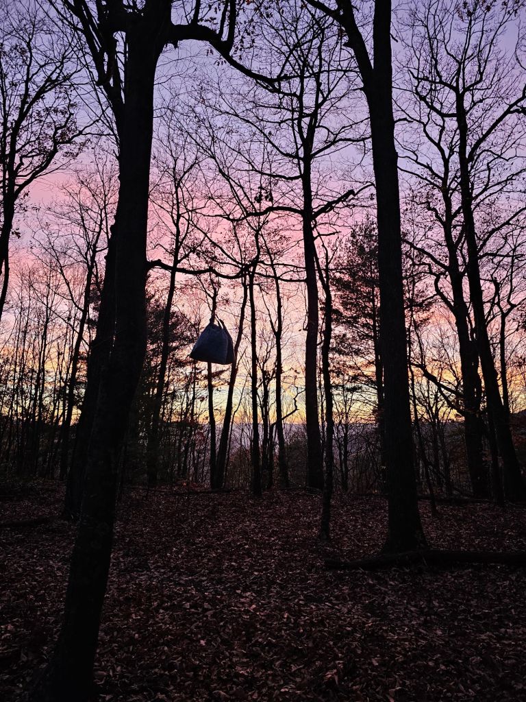
All night, the wind roared like the bellows of a blacksmith stoking the coals of his fire. The building sound of the air being sucked into the bladder of the bellows and then the roar of a white hot fire fueled by the bellows’ expulsion of life giving oxygen. In and out. In and out, the wind had a rolling rhythm to it. Once we realized that we were protected and no limbs were falling, it became almost a lullaby for sleep, as not a breath of wind disturbed our tent. We were in a bubble of security based on the steepness of the ridge upon which we were camped.

Morning came, and we were treated to an amazing sunrise, in colorful harmony of this All Hallows Eve day.
Big climbs with wonderfully expected views from Mary’s Rock, The Pinnacle and Stone Mountain were on the days “menu” of walking. We were not disappointed.

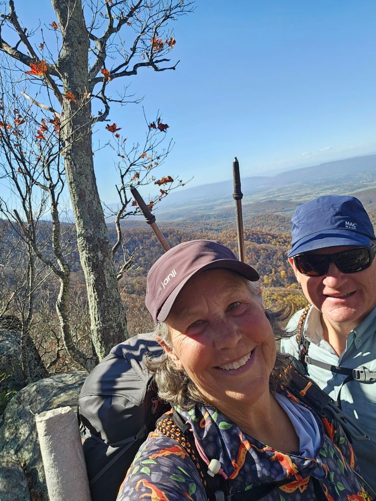

We ran into a snafu, however, when we reached the Pinnacle Day Use picnic area. All the water was turned off, and no visitors had water to share. With the warmth of the day, 4 miles of climbing still to do and only .25 liters of water left, we hitched to the Skyland Resort for food and beer (of course).
As luck would have it, a local trail angel, Tom Shipp, just happened to be rolling through the day use area and gave us a lift to Skyland. He provided wonderful insight into the history of the making of the Shenandoah National Park and the surrounding area. Over 500 mountain families that had been living for generations in the now SNP were “relocated.” I expect they were not too happy.
Fully satiated and a little tipsy, to be honest, we headed back out to the trail and a campsite for the night before the sun began to lower on the horizon.

Our route, surprisingly, was along a narrowing rock ledge that required extra concentration, considering the liquid carb loading we had just done. Our mission was to traverse safely and call it at the first flat space we could find. Thankfully, that didn’t take too long, once we got the “troll doe” to let us pass.

Once again, the wind roared above us as we huddled inside our sylon bunker, like we were camped next to the runway of a major airport. Yet again, not a breath of wind ruffled our open vestibules. Sleep came quickly.
Day 124: (Nov 1) 14.7 mi (1263.7 – 1278.4 Bearfence Mtn Hut)

With this day marking 4 months on trail, we were gifted with the absolute BEST sunrise of our whole journey thus far.


The trail wound along steep rock faces and ledges oozing, magically, with life sustaining water. Ledges morphed to literally Big Meadows, where we ducked into the Big Meadows Wayside for lunch and resupply. From the Wayside, you look across a giant meadow where a CCC camp once thrived during the building of the trails and infrastructure of this National Park.


For the most part, today was a pleasant walk, as my heel was feeling better. However, I can feel the growing lethargy of building malnutrition starting to build. One can not live on carbs and jerky for too long without it taking a toll. Weeks ago, I ran out of my AG1 and Emergen-C packets that filled the nutritional void that thru-hiking tends to foster.
At the Crest of Hazeltop Mountain, we took a lengthy break and watched an “airshow” of ravens playing in the drafts of wind above us. It was delightfully mesmerizing.
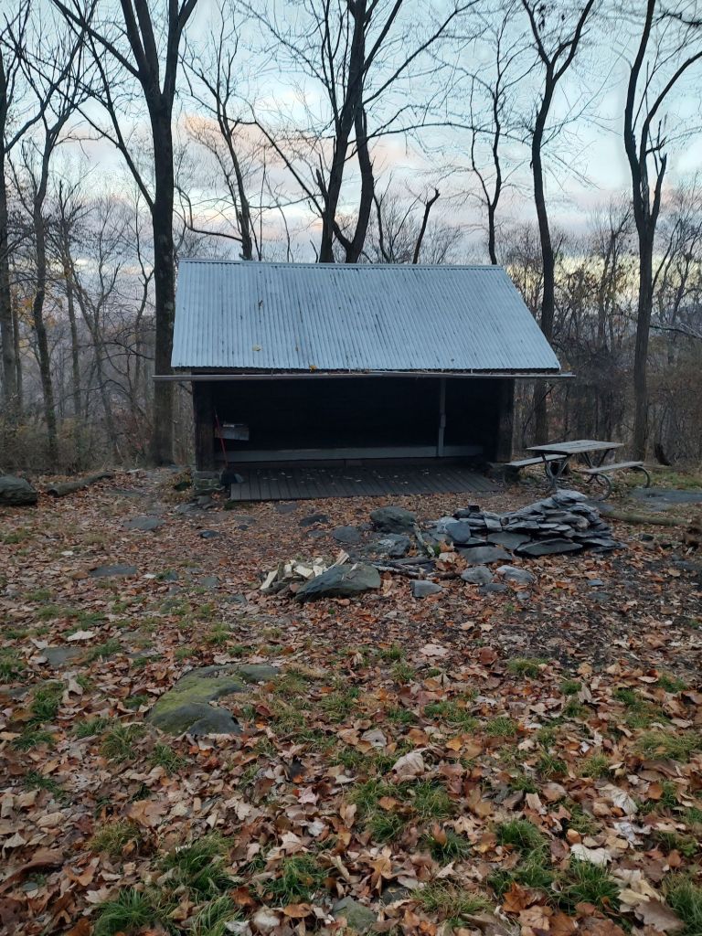
We pulled into the Bearfence Mountain Hut, hoping we’d have it all to ourselves. We, in fact, did till near 9 pm when three hikers arrived and then moved on to the campsites. Then, to our suprise, at 11 pm, a group of ten arrived, obviously thinking they would have the shelter to themselves. After a lengthy/loud conversation and the light of headlamps darting into the open cave of the shelter, they, too, marched on to the surrounding campsites up the hill. As it was a Friday night, we thought, before we went to sleep, that this might become a problem, and we were correct.
Day 126: (Nov 2) 12.3 mi (1278.4 – 1290.7 Hightop Hut)
When we awoke this morning, it was bitter cold. We knew better than to sleep in a shelter in a hollow, but all the surrounding campsites were just too lumpy and sloped. So we lost that extra 10° of warmth we get from our tent. When Paul went to retrieve our food bags from the bear box, he noticed that it was left open all night. We surmised that the people who arrived at 9pm failed to close it all the way, as their cooler was inside the box. Thankfully, our food was still in there as well, undisturbed.
As we left out of camp, we were surprised by a 10 point buck walking our way oblivious to our presence. His nose was to the ground, and the “rut” was in full swing for this big boy.
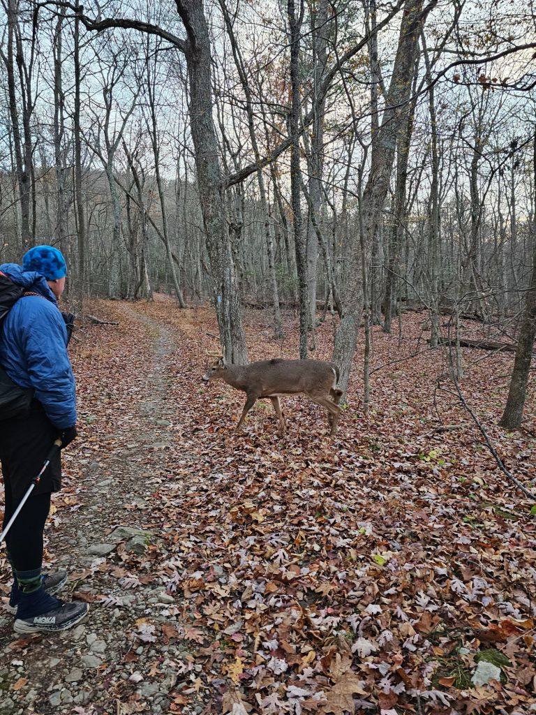
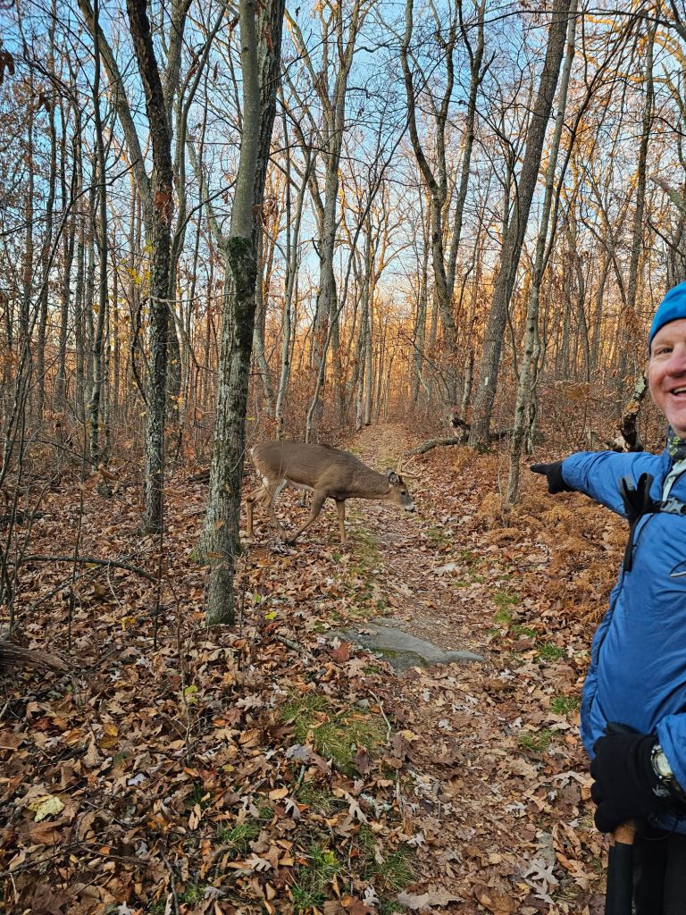

During the rut (mating season for deer), bucks get stupid. Nose down sniffing out the ladies, he wanders not aimlessly, but with narrow focus. The does, on the other hand, play hard to get and lead the buck all over the forest, often doubling back on a previous route. This, I assume, is where the terms “chasing tail” and getting the “run around” originate. This particular buck and several others we would see throughout the morning, paid us no mind. It is the closest we’ve been to this size deer, besides ones displayed on a wall.
The morning’s mission was to get to the Lewis Mountain Campstore for a small resupply and charge our electronics on the store’s porch. We tried to time it with the stores opening of 8 am, only to arrive and learn that it didn’t open till 9 am. Oh well, that gave an hour more for charging. While waiting, two other hikers arrived. We recognized one, All Day, who had been hiking with Recon, who we met earlier in the season near Vermont as they were hiking SOBO. The other just happened to also go by “OneSpeed.” Both were waiting for their shuttle driver to take them to an airport, as unfortunately, both needed to return to work. We’re retired, so we have no work calling us off trail, just yet.


Most of the day was bitter cold, warming up a bit towards the afternoon. This was okay, as we had a big climb (1400 ft in 1.5 miles) up to High Top Mountain toward the end of the day. As we walked, I found the trees, their shapes, and display a bit interesting. As daylight was waining, we decided to stay near the High Top Hut.

Day 126: (Nov 3) 14.9 mi (1290.7 – 1305.6)
Another frightfully cold morning again. If the temperature drops much further, we’re gonna have to rethink things a bit. As long as we stay dry, cold mornings and days are not a problem. But, if inclimate wet-weather arrives, things could get dicy.


We marched our way to the last Wayside in the Shenandoah NP, and as it was in its last hours of being open for the season, the pickings are slim. We buy two candy bars and two sodas, and take a hard pass on the only beer available, pumpkin. Our goal is to get to the 1300 mile mark, which is just outside the Loft Campground (which we are reminded by a passing Park Ranger, is closed for the season). As we set up camp .6 mi outside the campground, just off the AT, a couple passed us on their way to their car and asked us if we picked any apples from the apple trees by the campground. Unfortunately, we did not, we replied. “No worries,” they tell us. “We picked plenty. We’ll give you some.” And with that, they handed us 4 apples (two red, two green). They were small but immensely flavorful. Dessert!

Day 127:(Nov 4) 19.5 mi (1305.6 – 1325.1 Calf Mtn Shelter)
We awoke to a wet and foggy morning, which proved to silence the leaves underfoot. It was a nice break from the constant krinkle and crunch. Fall has definitely arrived here in the mountains of Virginia.

During a break near a trailhead parking area, we spoke with an older couple who were locals for this area. We talked about the AT and our plans to continue through Virginia to Blackhorse Gap, and then head to Fontana Dam in North Carolina thus avoiding the “not recommended ” areas by the ATC, due to the damage wrought by Hurricane Helene. From there, we’d hike to the Appalachian Trail’s Southern Terminus. They nodded with a head tilt, which we took as a sign they had something to say about this plan. They went on to tell us that “normally” they hike in the National Forest, near their home, but it’s currently black powder season and they feel more comfortable hiking in the National Park, for now. They also warned us that it could snow anytime here in the mountains of Virginia, so “just be prepared”. This gave us some things to think about.

Day 128: (Nov 5) 7.7 mi (1325.1 Calf mtn Shelter – 1332.8 Rockfish Gap)
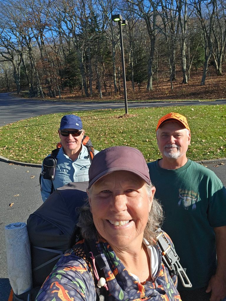
It’s town day today, and we will be headed to Stanimals Hostel in Waynesboro to resupply and take a rest. We have one snack left, each and just enough water to get to our pick-up spot at Rockfish Gap. For the most part, my foot has been doing okay, as long as I don’t land my heel on a root or rock. The stack of leaves that line the trail more and more each day make that task increasingly more difficult.

We are pleased that the cooling trend has halted somewhat and warms up enough for us to ditch our long John’s early on. As we walk, we spy, actually hear, a buck gone “wild” about 25yds off trail. He is making scrapes and thrashing about the vegetation, marking his territory. He is a giant, but I can’t get a good view enough to take a picture or video and document this. Paul decides to drive him crazier, huffs, and clacks his trekking poles together. With this, we watch as the buck leaps, huffs, and grunts, as either a warning or a challenge, and then charges through the forest, thankfully away from us.

We climb to a grassy bald accented with does grazing in the open. They slowly trot off as we approached.
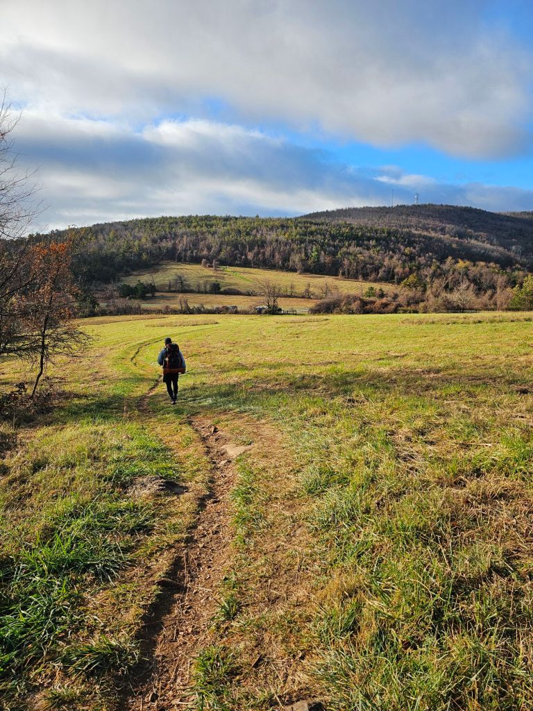
We descend from the bald toward a meadow where we play an early morning version of Frogger. Up we climb, again to the next mountain top, this time adorned with numerous radio antenna.


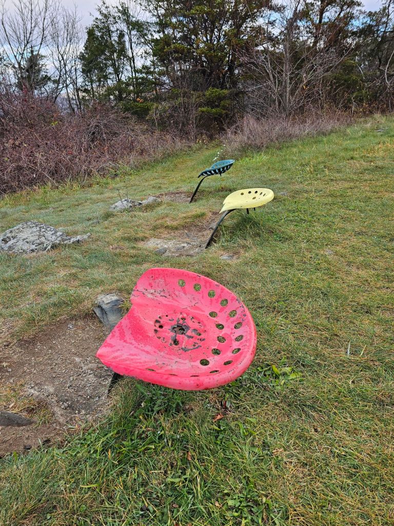

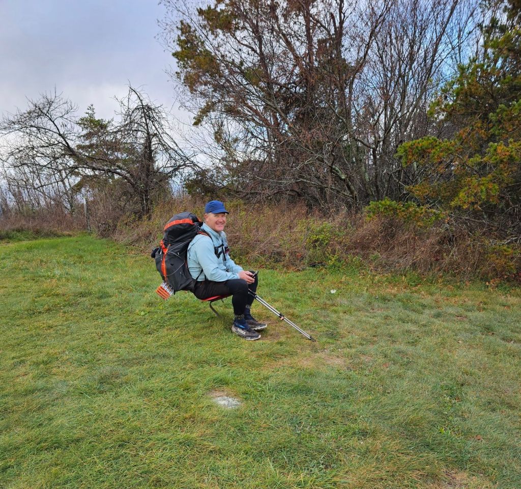
While at the top, we find the most unique Appalachian Trail “rest stop,” and for the novelty of it, take a quick break.
As we begin to descend from here, a bachelor group of bucks enters the trail in front of us. One pauses briefly, then continues down the trail and then across the hillside following his bros.

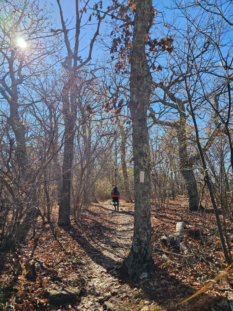
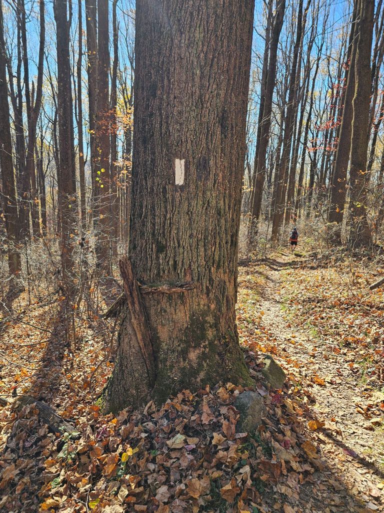
We continue making our way down and out of the Shenandoah National Park, but not without a final traverse of Pennsylvania style rocks and another slip and fall due to slick leaves covering an equally slick boulder. This time, my pack does NOT take the full brunt of the landing. Oof.

We can’t help but notice that the depth and concentration of leaves in the trail has been increasing. As of late, nothing has been tramped down by foot traffic of hikers. We are it. The SOBO caboose.
Day 129: (Nov 6) Zero

While at Stanimals, and after talking with a couple hikers who just finished the section we were about to enter, we formulated a new plan for continuing SOBO on the Appalachian Trail.
The hikers told us they only completed 30 miles of the 140 we had planned on doing before our planned flip down to the Fontana Dam in North Carolina. They thought it was, “boring” and too remote (in that they hadn’t seen a soul hiking for days), and the tread was covered in leaves, which made walking safely, tedious at best. And, with weather coming in, they did not recommend it.
Knowing that there are closed portions of the trail we will NOT be able to complete this season, we then decided to add that section to “next year’s” list. With that, we messaged our friends, Chica & Sunsets, in Franklin, North Carolina, as to their availability to shuttle us to the Fontana Dam, and set about getting a rental car.
With a vehicle secured through Enterprise Rental Cars and a beautiful forecast of 20° warmer weather in North Carolina, it was time to do the math and schedule a flight home from Atlanta, Georgia. With only roughly 175 miles left to Amicalola Falls State Park, we figured we could be headed home by November 26th. This would mean that we’d have to walk at least 10 miles a day. And based on how we had been doing, even with my foot hurting, we were pretty confident that was doable. I could gut out 10 or more miles a day for two weeks or so.
Day 130: (Nov 7) Zero – Drive to Franklin, NC
Our drive from Waynesboro, Virginia, to Franklin, North Carolina, took around 6 hours. As we headed further south, more leaves appeared on the trees, and color was returning to the mountains. We took this as a welcome sign that more leaves would be on the trees than in the trail once we started SOBO from Fontana Dam.
The obvious devastation from Hurricane Helene still lingered as we passed into North Carolina and crossed over the French Broad River, whose shores were stacked with all manner of debris. Towards the exit to Franklin, a flashing freeway sign indicated that Hwy 40 to Tennessee was still closed. It was a sad state of affairs. We wondered if we were doing the right thing, but Jen and Greg had assured us that the trail was “clear” from Fontana Dam to Springer Mountain, and the trail communities would be happy to see us.
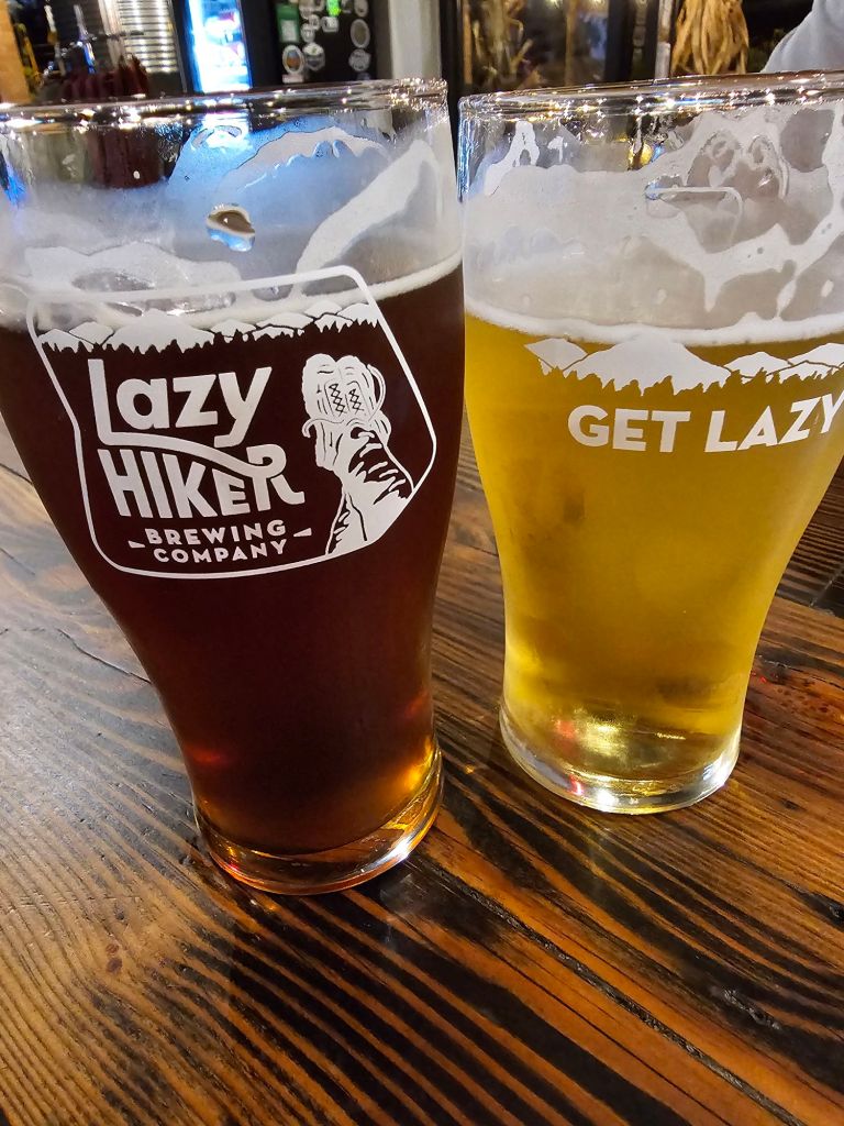
When we arrived in Franklin, we stopped in at the outfitters, Outdoor 76 for new shoes, a couple of meals and a new pair of long johns, as mine “decided” to “stay” at Stanimals. A stop at Walmart rounded out the rest of our resupply. Ready for the next day’s count down, we headed over to the Lazy Hiker Brewery for a couple of tasty beers and a sampling of food from the food truck located there.
Tomorrow, we drop our car at Enterprise, where Greg will pick us up and drive us an hour to Fontana Dam. Not gonna lie. We’re kinda excited about this hike being just about finished. We are pretty worn out, and I’m not sure how much more foot pain I can continue to endure or if I’m creating irreparable damage by still walking on it. I’ve already gone a month and 370 miles since injuring it. What’s another 175?

Such a joy reading your journal! I feel as though I’m with you two when reading your 2 more miles! You both look marvelous. What a journey! Lots of memories to share throughout your lifetime. Thanks for the sharing! Stay safe. jan
We have to plan another walk together.