
9/17: 10 mi (Elwood Pass Alt)
We got dropped at the Family Dollar to add a few more snacks, so that we could get all the way to Chama, NM.

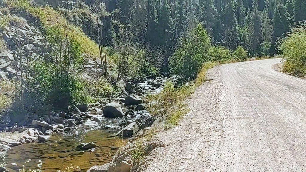
Once shopping was done, we lunched at the Pizza joint next door. Our intent upon ordering the XL pizza, was to take half of it with us for snack/dinner. Before we knew it, we ate the ENTIRE pizza. We even considered squirreling away 4 perfectly good slices of pizza left on the table next to us, by patrons who had left it for the busboy to clear. “Hiker Hunger” is that strong! With our manners and personal integrity successfully over-riding our very real and sustained “Hiker Hunger” , we collected our packs and walked to the edge of the busy Hwy 160. It too was too dangerous for us to feel comfortable walking it, as well. From here we would try for a hitch to Park Creek Rd (a dirt road), and then walk the remainder of the “blue line”/Elwood Pass Alt.
As Paul dug out our “CDT hikers to Trail” sign, we wondered how long this hitch was going to take. Paul looked at his watch. “12:26”, he said. Less than 30 seconds later, a truck pulled up and asked us if we wanted a ride. He hadn’t even fully unfurled the sign.
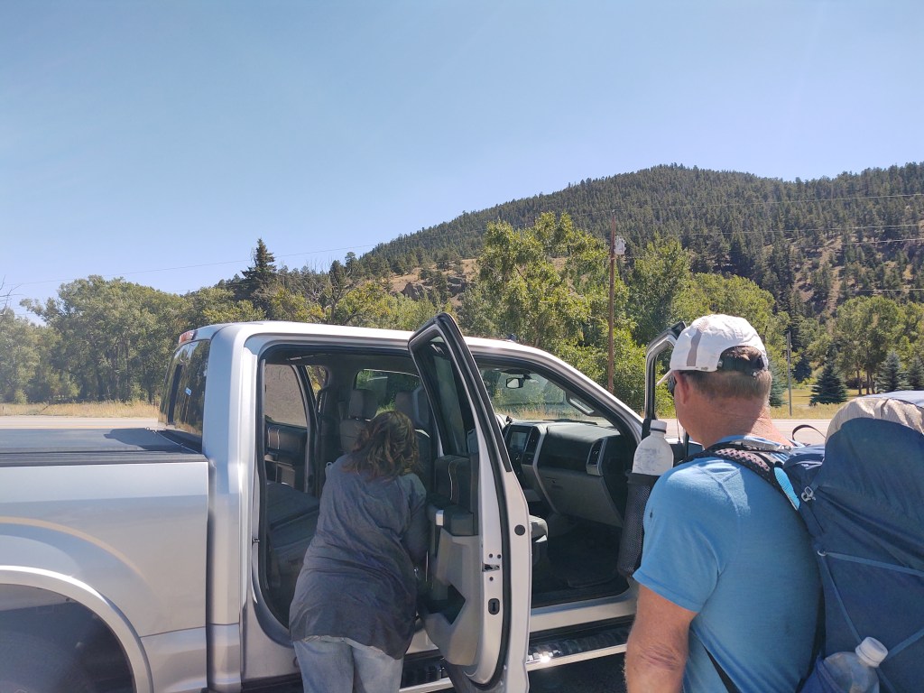
I do believe that is a personal record for us. Turns out, these wonderful people (I believe also out of Pueblo Colorado, and for some damn reason I can’t remember their names…sorry, my CRS is getting worse) were seated behind us in the pizza parlor. They saw our packs and figured we were CDT hikers. They had decided that if we needed a ride they would give us one. They were waiting for us to leave the pizza parlor. Thank goodness we didn’t take the “abandoned” pizza slices. It probably would have nixed that ride.
They offered to take us all the way up to Elwood Pass, but we declined. We had already cut off a big chunk, and didn’t feel good about cutting off anymore. We also were not concerned about our safety along this particular road walk.
This route would climb, gradually from 8,477 ft to Elwood Pass at 11,644 ft, over the next 18.5 miles. In what was supposed to be a “nero”, we walked 10.3 miles. It was nice to be warm for a change. Trucks and trailers toting Elk Hunters filled the plethora of available campsites and spaces. I dare say that this was easily the most people we had seen (on trail) since we started this adventure. That night we had our BEST trail dinner ever!

Southwest Salad tuna wraps. I don’t know why we hadn’t done that sooner. Maybe it was because most of our resupply stores didn’t sell bag salads. But they did sell Jumbo HoneyBuns!
9/18: 16.7 mi (10.3-18.3/Elwood Pass Alt + 2145.4 – 2154.1/”redline”)
After a comfortably “warm” night’s sleep, and a chilly, but not frigid morning, we hoofed it the rest of the way toward Elwood Pass (11,644 ft). We expected the road to be like a freeway, with elk hunters scurrying to their hunting spots at the wee hours of the morning. Surprisingly, there was virtually NO traffic till later in the morning. And, even then it was fairly sparse. When we got to the pass, a couple was unknowingly seated at the CDT trailhead. They had stopped their ATV for lunch.

We talked with them for quite awhile. They offered us lunch and water. As we were low on water, how could we resist? A freshly made sandwich didn’t hurt either.

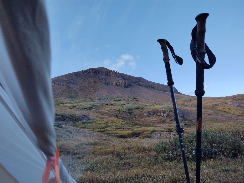
It was nice to get back onto a single track. I don’t know why, but we were surprised by the continual elevation we were gaining.
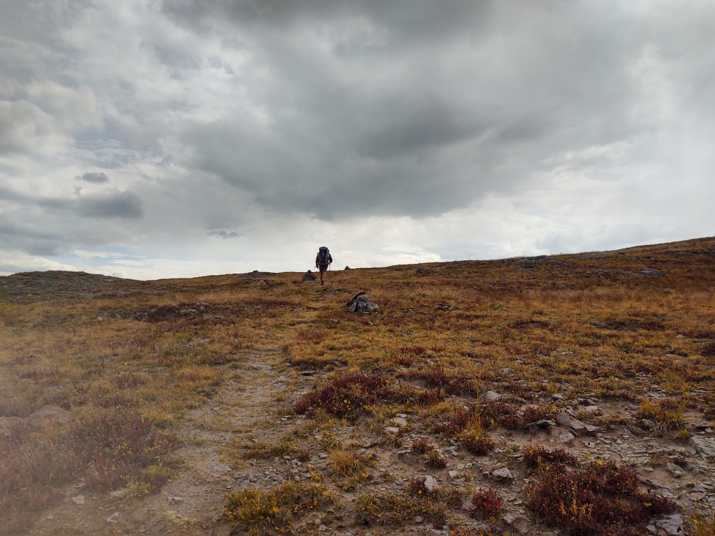
We looked in the near distance, wondering where the trail would wind us.

Surely it wouldn’t take us over those exposed mountains with the growing black clouds behind them. Silly thru-hikers, it’s the CDT! Of course it would!
With the wind blasting us in our faces, we found ourselves up and “over” five passes:
- 12,160 ft
- 12,467 ft
- 12,430 ft
- 12,414 ft
- 12,603 ft


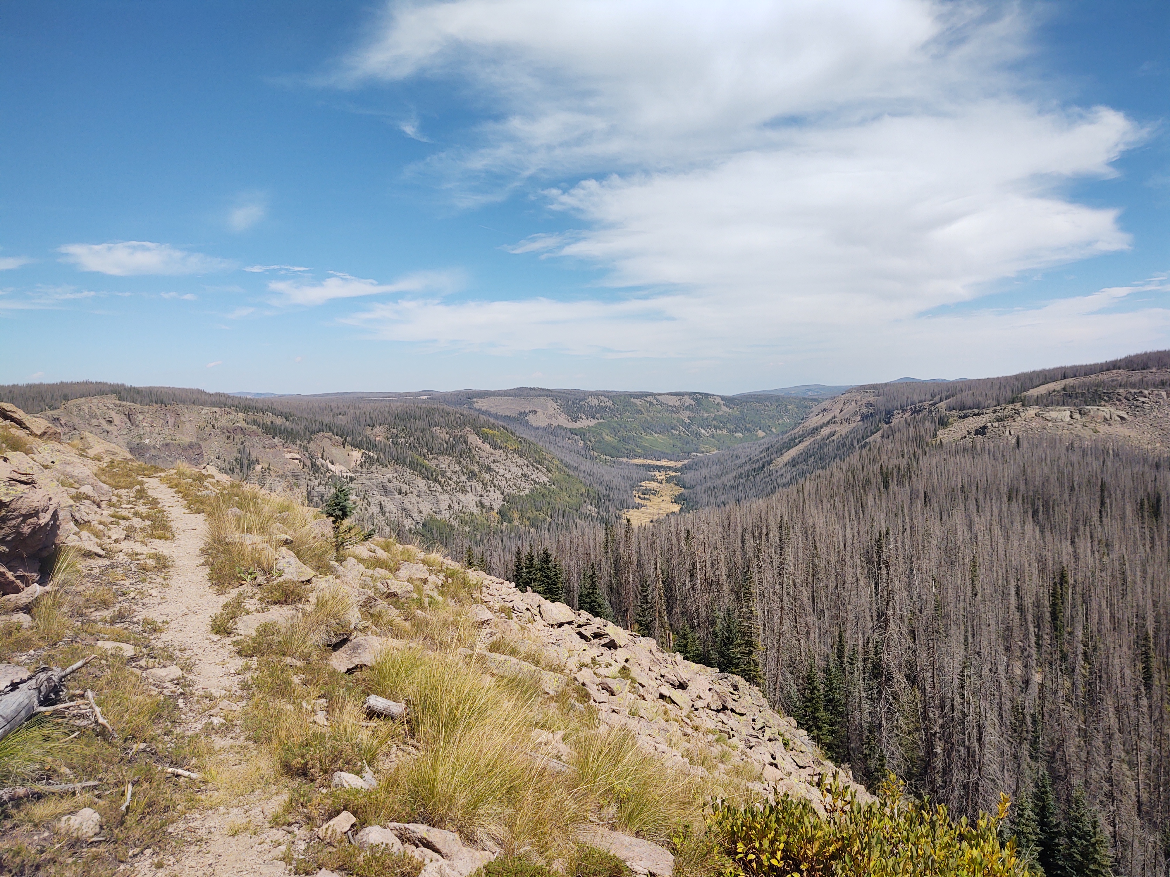
What the hell? I don’t know why we thought we would continue to stay in the 10-11,000 ft. range. I think we thought, mistakenly, because we had NOT taken the “high route”, that we would now essentially be headed “downhill”, and were “out” of the San Juans. Little did we know that there was a place called the South San Juan Wilderness. It’s the slightly “shorter” brother to the San Juan “redline”, but packs ALL the challenges, and beauty that we thought we were putting aside to hike next season…at our leisure in warmer weather.
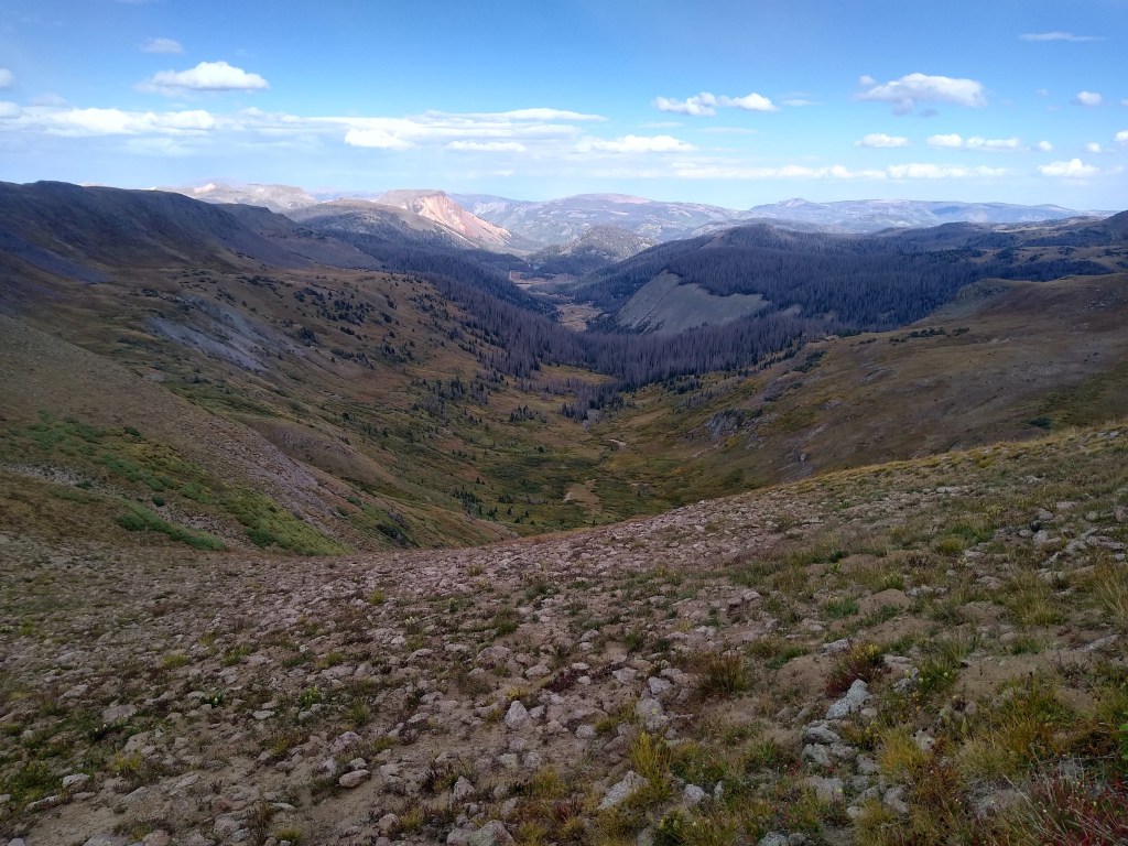
Once again, we should have known better. Too late now. All we can do is laugh, keep putting one foot in front of the other, and enjoy the stunning views.
We made it to our water source and intended campsite just as the weather was about to turn completely sour.
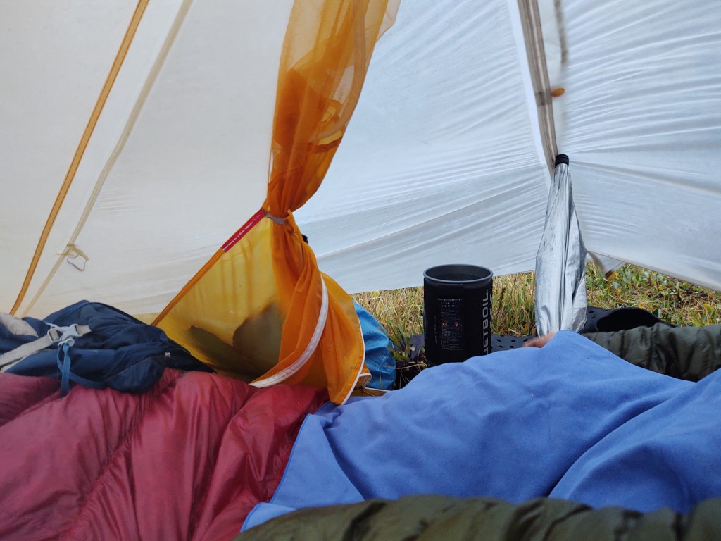
That night, the integrity of our Big Agnes Tiger Wall UL2 would be severely tested. Fully cognizant of the irony of our situation, the black cloud(s) and freezing weather we were trying to avoid, attacked us from all directions. Our tent bucked in the wind. Rain and hail pounded against our fly ALL NIGHT! We would not be surprised if we woke up to snow. For a very brief moment, the rain and wind stopped long enough for us to escape and empty our swollen bladders. This was because the cloud itself, had decided to park itself, and take a “breather”, directly upon on. Our headlamps nearly blinded us as the light bounced off the thick white mass that surrounded us, as we exited our tent.
9/19: 14.9 mi (2154.1 – 2169)
I awoke around 2am with what I thought was a headlamp beaming into our tent. Nope. The clouds had cleared and the moon was shining upon like a searchlight. I guess that’s good? There was hope for a dry morning. No sooner did I settle back to sleep, the clouds returned and delivered another dose of rain.
By 7 am the rain had stopped. Only problem, we couldn’t see the trail. We were trapped by a “resting” cloud.
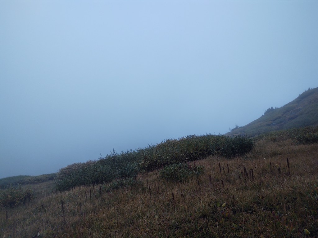
Another hour later, it had cleared enough for us to safely find the trail. Of course it started raining again, once fully committed to hiking, and headed downhill into a valley.

Our biggest concern was being on an exposed ridge, if thunder and lightning decided to join in on the day. We had three passes to cross, all above 12,000 ft (12,021/12150/12128).
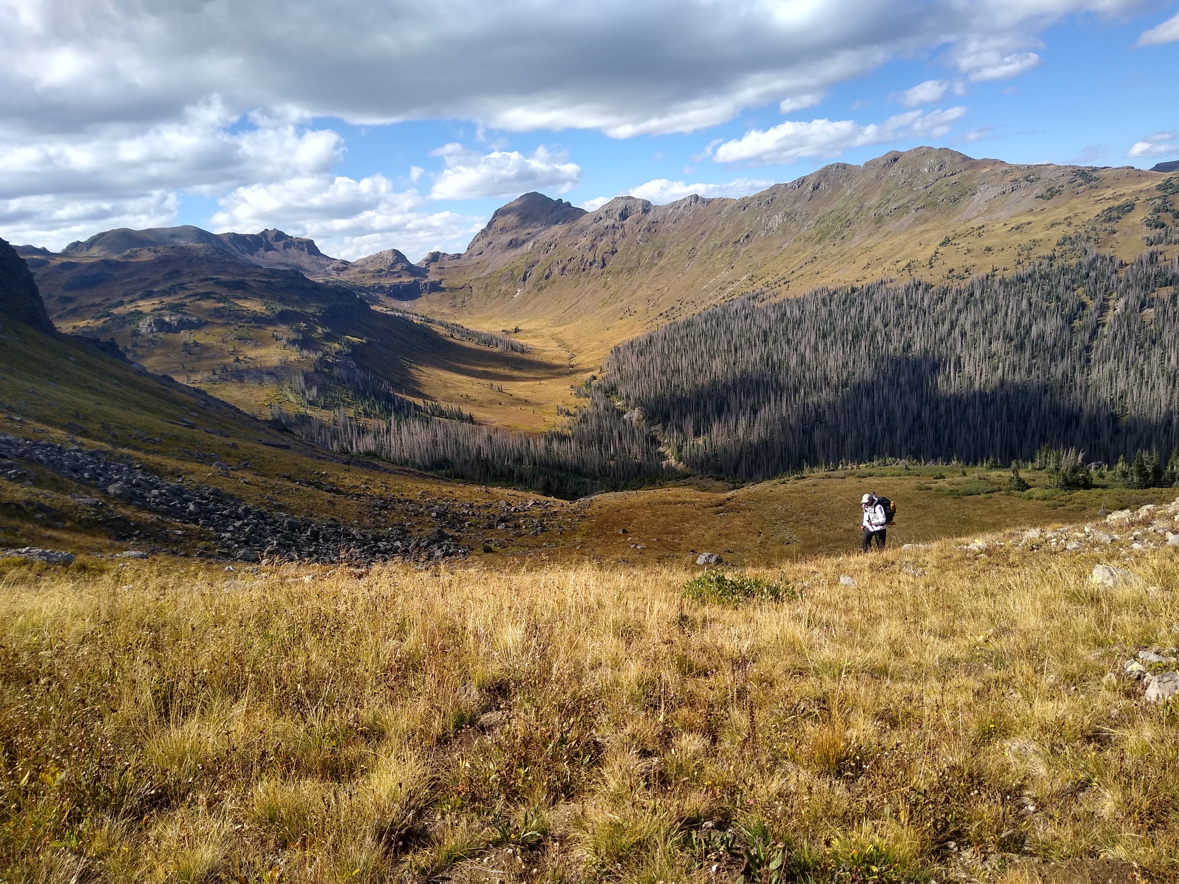
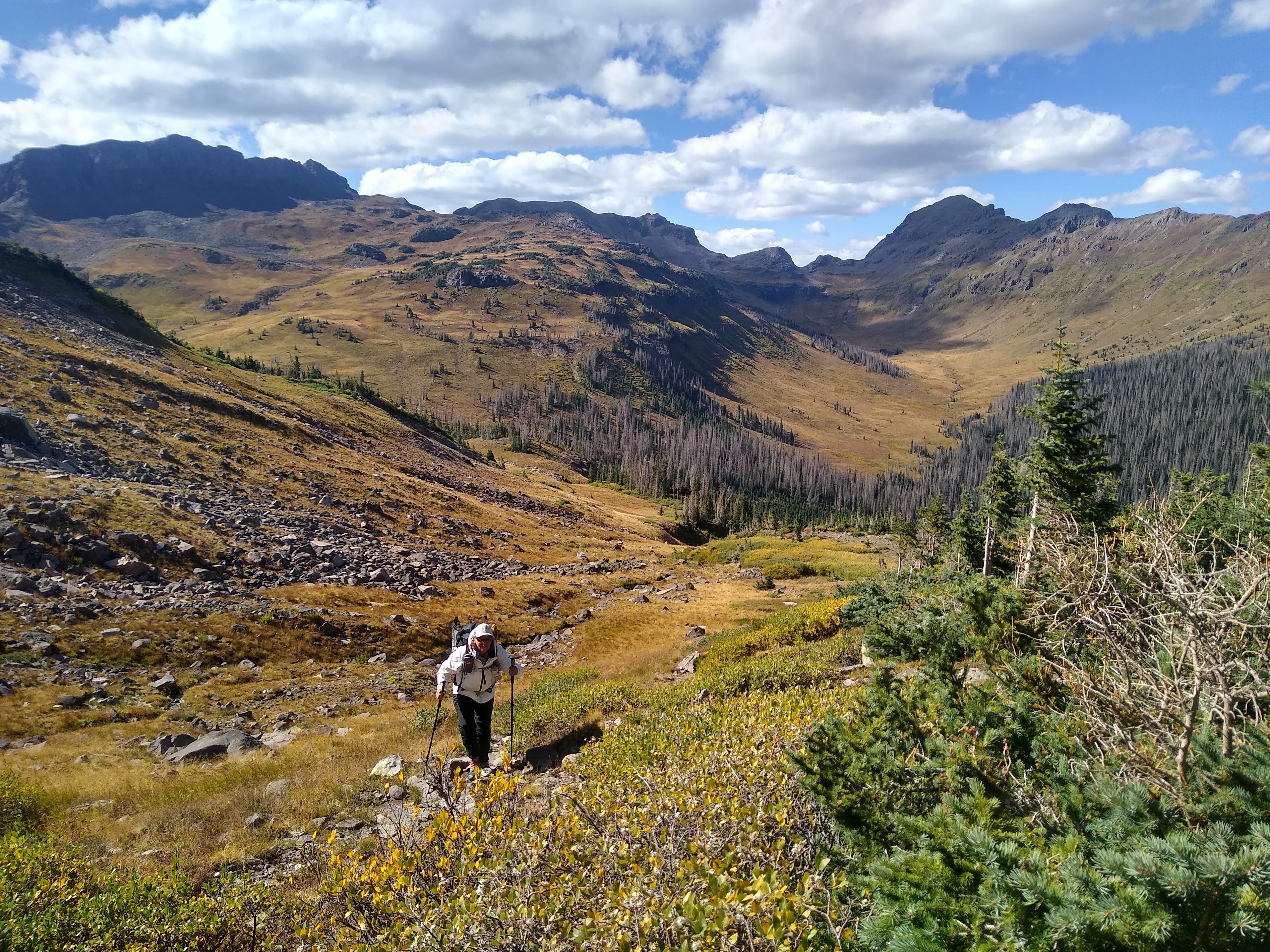
At infrequent intervals, the low clouds would part, revealing, if but for a moment, the colorful splendor of the trail we were traversing. While working my way up to the second pass, I decided to use this incessant wind to my advantage, letting the wind push me straight up the mountainside, rather than use the switchbacks.


The wind however, was inescapable. It cut through everything but our rain gear. So, even when the clouds finally parted, and the sun shone brightly, we continued to wear our rain gear, and practically ever other clothing item we had. It was that cold. We were firmly in the South San Juans. It was everything everyone crowed about, as it pertained to the San Juan “high route”. The beauty of this section was on a completely different and somewhat indescribable level. It touched our very souls. It was a shame to not be able to drink it all in at length.

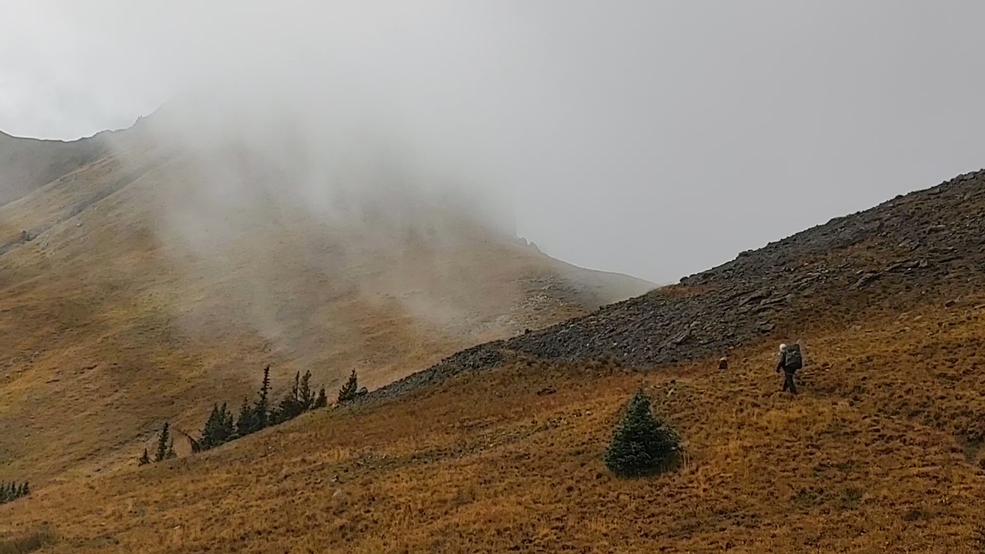

However, with miles to go, and the constant roaring of the wind we could not linger. The last time we experienced wind like this was on the PCT out of Tehachapi, but this was more ferocious. The unrelenting sound was like standing behind a jet engine on a runway. It was driving us INSANE. On more than one occasion (four to be exact), I got blown off my feet, and slammed to the ground, by an unexpected and forceful gust of bone chilling wind. Winter was coming.
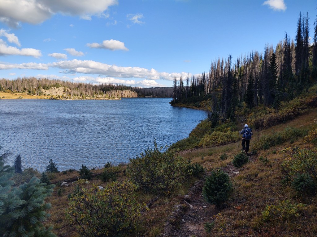
Based upon our late start, our destination was going to be Blue Lake. It was fabled to have plentiful places to camp. While it did, they were all under obviously dead trees, and the wind had NOT abated. No way on God’s green earth were we going to get this far on the CDT only to be crushed by a tree in the middle of the night. It took us quite a bit of time to find a spot we felt we had reasonable chance of surviving.
9/20: 16.5 mi (2169 – 2185.5)
The wind had changed overnight. It was still gusty, but it did not affect our tent. The morning was brisk, which required coffee “in bed”. The elevation profile showed our route to be mostly “flat” with only two significant climbs for the day. The last of Colorado we gleefully surmised. It was here that we now understood the remark that had made to us by a NOBO hiker just before we began the approach to the Park View Lookout, so many miles ago. “I can’t fucking wait to get out of Colorado”, he said. Yup. We can’t wait to get out of Colorado. We are tired of climbing and being buffeted by bone chilling wind. Don’t get me wrong, the views have been magnificent and grand, soul stirring even. But, they weren’t “free”. You had to “earn” them. We were worn out, and we still had another whole state to go!

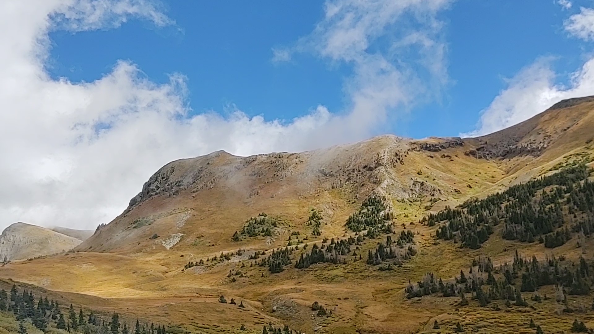
We traversed a vast mesa, that gave the impression we were on the prairies of South Dakota, but at 12,000 ft. Dry grass bent and rustled in the constant wind.

Bleached white clouds in wisps and fluffy clusters accented the brilliant blue sky as they travelled above us while we walked. The plentiful “flag” trees told us that the wind here is constant. We couldn’t imaging having to walk this in a field of snow whilst NOBO on this trail. NOBOs you have our utmost respect. You are certainly crazier than we are. Needless to say, we were glad we had been relegated to a Southern route of the CDT.


In addition to the views, wind, rocks and climbs, Colorado had one more endearing memory to create. It decided to withhold its plentiful water for these last 20+ miles. We would have to camel up and carry 3 liters into camp.

To get said water at the last possible place, for the shortest carry, we filtered from a marshy pond a few 10ths of a mile off trail.
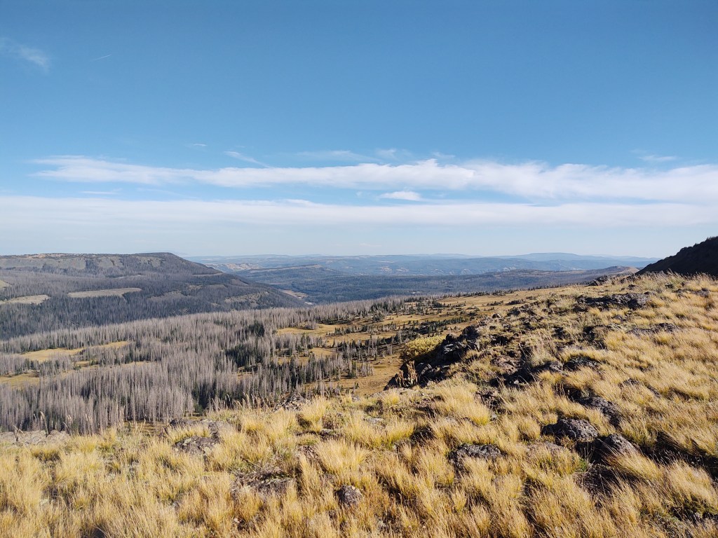
As we made our “last” climb out of the South San Juan Wilderness, the wind ceased as we reached yet another mesa with jaw dropping views.


By the time we reached the “Rock Bivy” and the borderline of the South San Juan Wilderness, the wind returned, but the edge of the mesa revealed yet another rich and colorful roadless valley below.

One could get drunk with the beauty all around, but you’d freeze to death in the process…at least this time of the year.

We descended the mesa and camped 10 miles from where Hwy 17 meets the CDT.

It was a miracle that we found a spot somewhat protected from the ever constant wind. We dozed off knowing that this would be our last night spent in Colorado.
9/21: 9.8 mi (2185.5 – 2195.3)
We slept soundly and comfortably all night. I only had to get up once to pee. The sky was clear and the stars and the moon competed for my attention. Between that time and the time our alarm went off, the temperature had dropped significantly. Our breath was clearly visible and hung in the air. Ice crystals coated the inside of our fly.
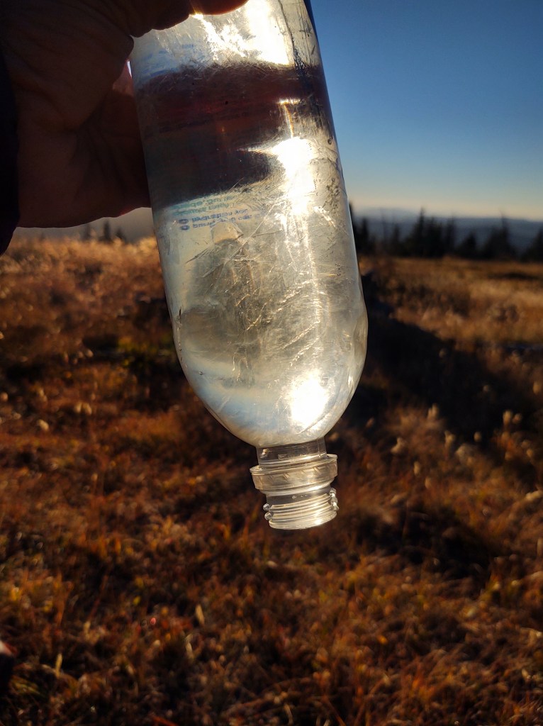
Our water bottles were frozen, and so was our fuel. No sense getting up now. This cold required coffee to walk, and with under 10 miles till town, we could wait. After “melting” enough water for coffee, we were on our way. As we descended, we could see a lake, in the near distance. It’s edges appeared to be frozen. The cold was here to stay. Our timing was impeccable.

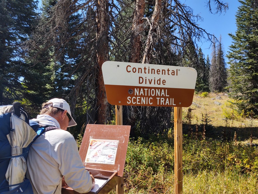
We had made it out of Colorado, without getting snowed on. New Mexico here we come!
We headed down to Hwy 17 (Cumbres Pass) and within 10 minutes we had a ride into Chama.


I can’t see the wind in the pictures, but I know it was there. Way to tough it out!