
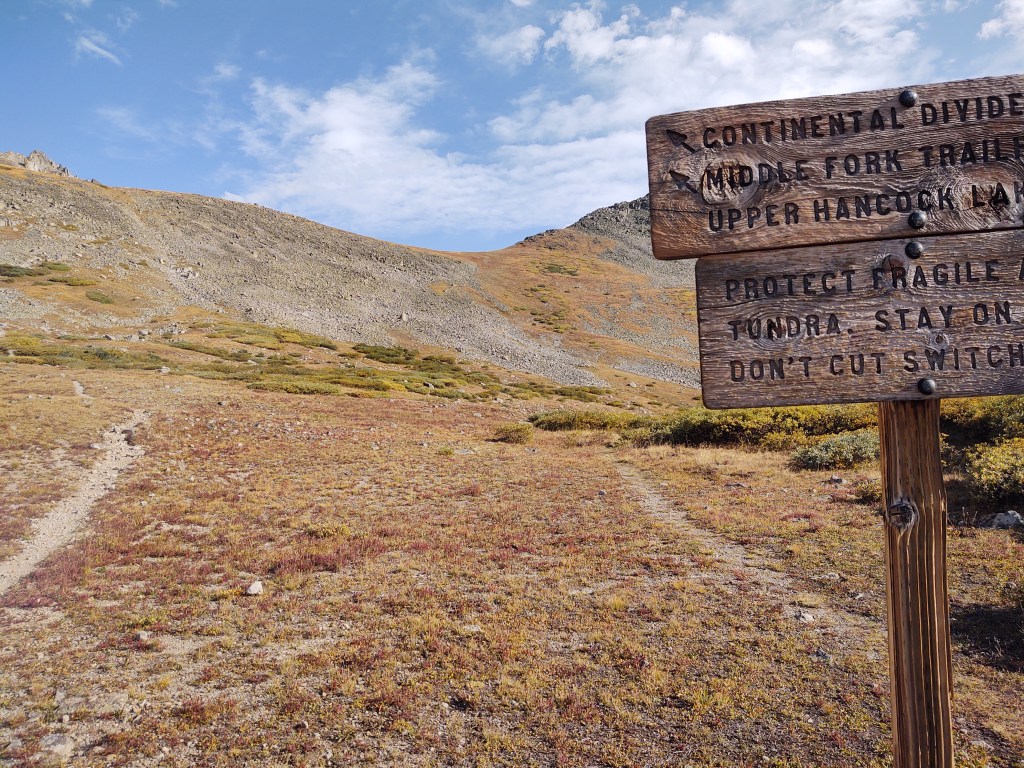
9/7: 20.3 mi (1825.7 – 1846)
We didn’t have very far to go to get into Twin Lakes for our resupply, but we packed up quickly and decided to have breakfast along the way.


We stopped at a beaver pond and had our coffee and Jumbo HoneyBun. An array of gnawed trees surrounded us. We marveled at the ingenuity of the beavers. A young buck, still in velvet stared from the far edge of the pond, hoping we weren’t hunters.

With much lighter packs, having eaten everything that was edible in our packs, we made a left turn onto the Twin Lakes trailhead. In no time we were at the small town’s edge only to find, that for the most part, the town was, for all practical purposes, closed.

We had arrived the morning after Labor Day Monday. Summer was officially “over” in these parts, and the coffee place, burrito food truck, and country store were closed! The store actually had a sign that they wouldn’t be open till noon, and the restaurant till 4 pm. I knew I shouldn’t have eaten that last snack!
As it was 9am, there was only one thing we could do. Wait. We were however, able to charge our electronics at an outdoor outlet in front of the closed visitor center while we waited.
Once the store opened, we collected our resupply and had a beer. While we were organizing our stuff, “Popeye” and “Olive Oil” arrived to collect their resupply. We chatted for some time. They were going to hitch into Leadville and ship some stuff home, before continuing on trail. We bid them farewell and continued on trail.
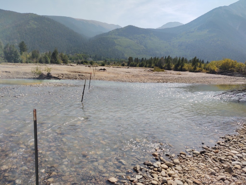
Rather than “needlessly” walk around the lake as per the “redline”, we decided to cross the river and meet up with the trail on the other side of the lake. Once at the trail junction, it was time to climb. We had had a four hour “rest”, so a 3235ft climb over 3.8 miles should be “do-able”…before dark.

While we made the climb to Hope Pass (12,532 ft) in just over an hour,(compared to the 3 hours it took to make a similar elevation gain summiting Gray’s Peak) we almost bit off more than we could chew. We did however, make it to our intended campsite with enough light to set up our tent…but not to eat. That required our headlamps.

9/8: 17.4 mi (1847 – 1863.4)
With the plethora of steep ascents and descents, that the CDT in Colorado requires, my right calf and left hamstring were beginning to become problematic. We decided to take an alternate, and hike on a road that was about 2/10ths off trail, but generally paralleled the trail for several miles.

So, descending and walking on a relatively “flat” surface as opposed to constant up/down and adjusting to trail impediments became the solution.
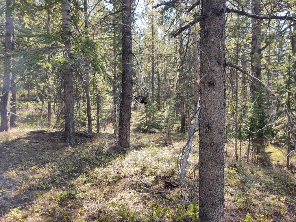
Along the way we came upon several mining camps and were treated to a bull moose sighting. We watched in awe as he fed and thrashed about the bushes trying to rub off the felt of his massive rack.
Today’s climb would be past Anne Lake and up and over Anne Pass.
Another bonus of taking the dirt road, was that it led us into the historic mining town of Winfield.
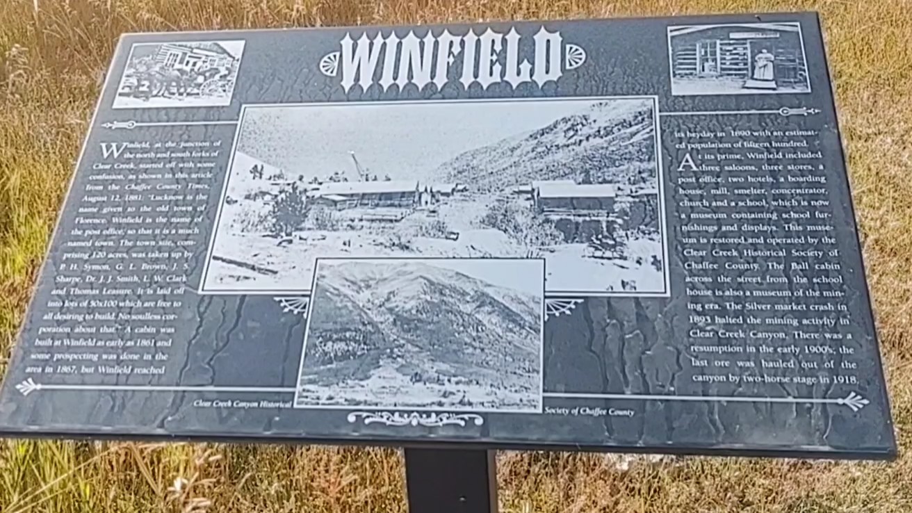

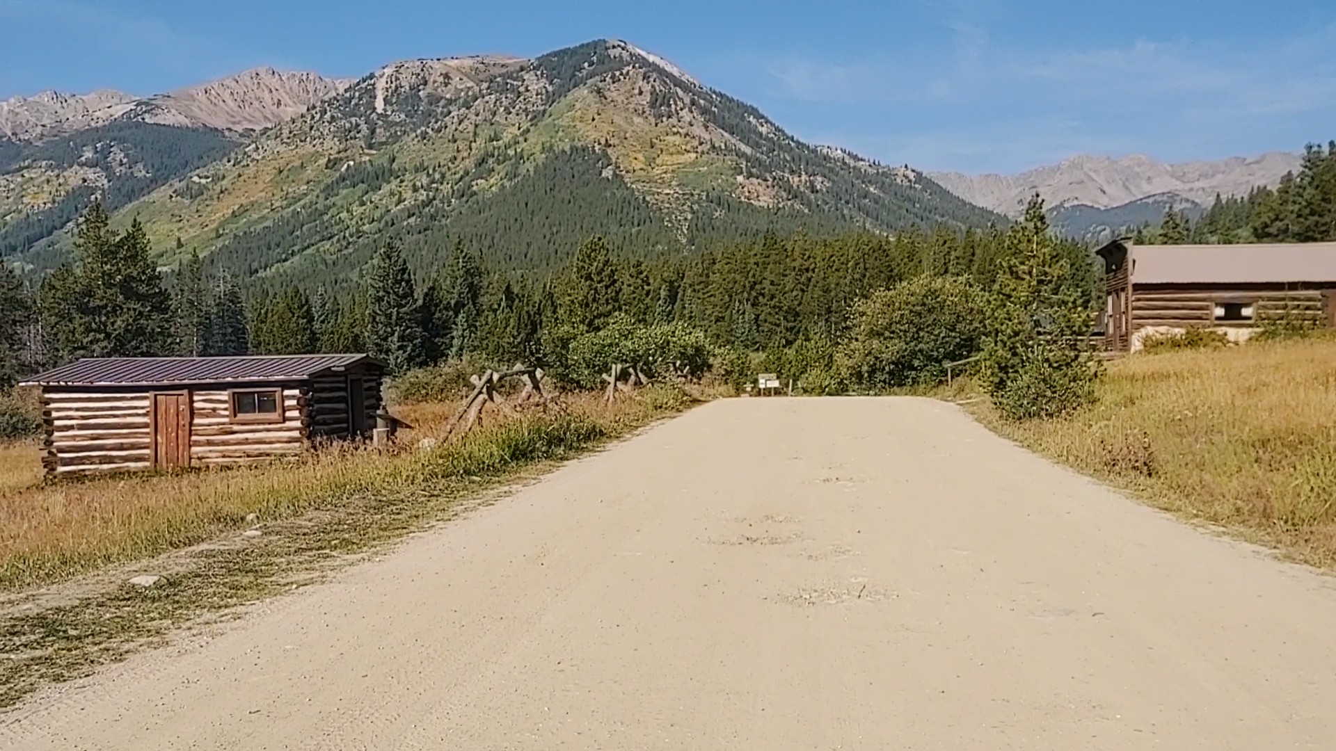
In it’s “hey day” it sported 1500 residents 3 saloons, 3 stores, 2 hotels, boarding house, a post office, a church, and a school. It’s now more of a ghost town, with some buildings restored by the historical society.
As we traveled upon our alternate route, we couldn’t help but notice signs identifying our route as the CT/CDT. I do believe we were on the “old” route. Perfect! This route took us through a long meadow, with many camping opportunities. It appeared to be a popular area to camp and set up hunting camps.
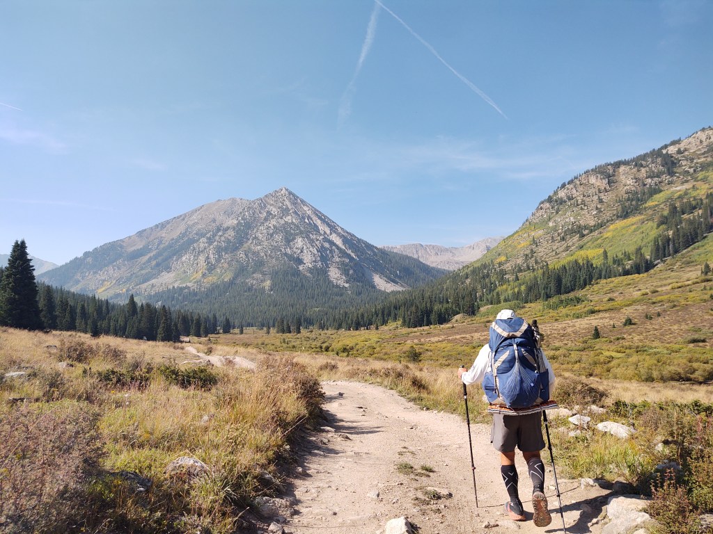
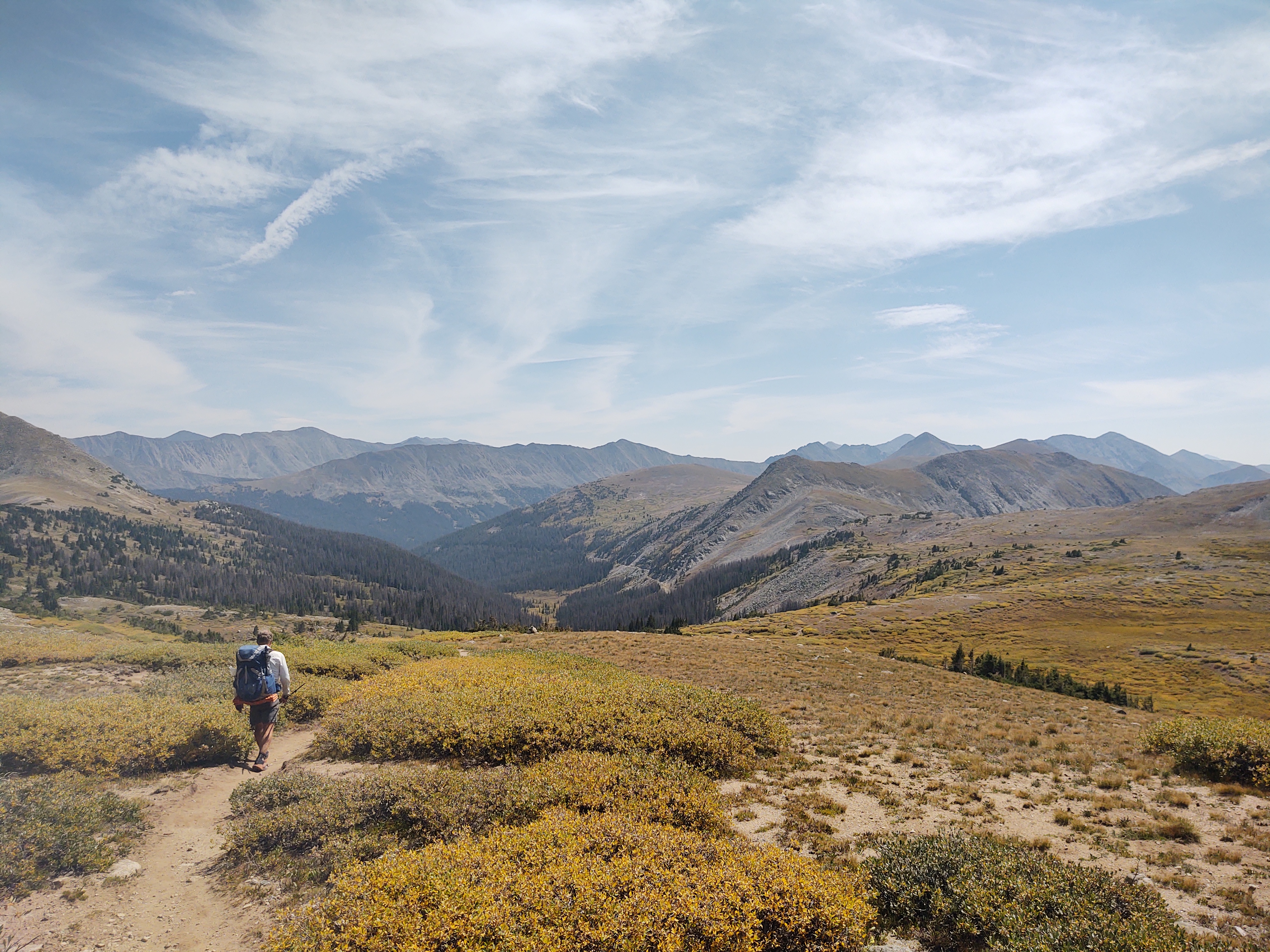
After lunch and a nap by a rushing stream, we began our final assault on Anne Pass (12,645 ft.).


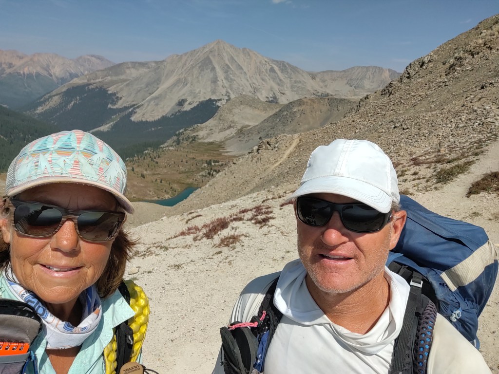
Lake Anne in the background 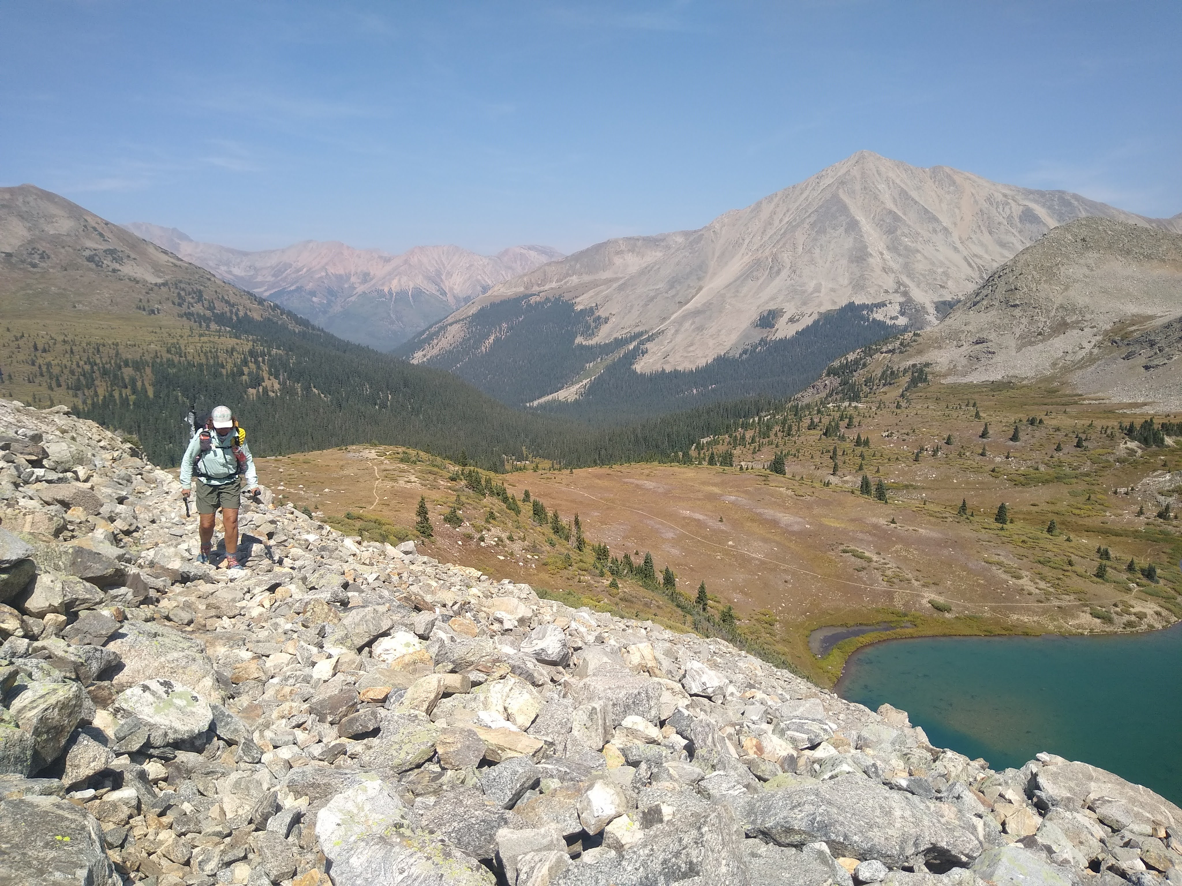


Paul just about to crest the Pass
1500 ft over 1.5 miles, and 1.5 hours later, we reached the top.
Not a breath of wind. Time for a snack.
The descent was pleasant, as the trail was well maintained and fairly free of tripping “opportunities”. As we made our way down to treeline, we saw another cow moose fairly close to the trail. She didn’t seem to care that we were so close, and continued to graze.
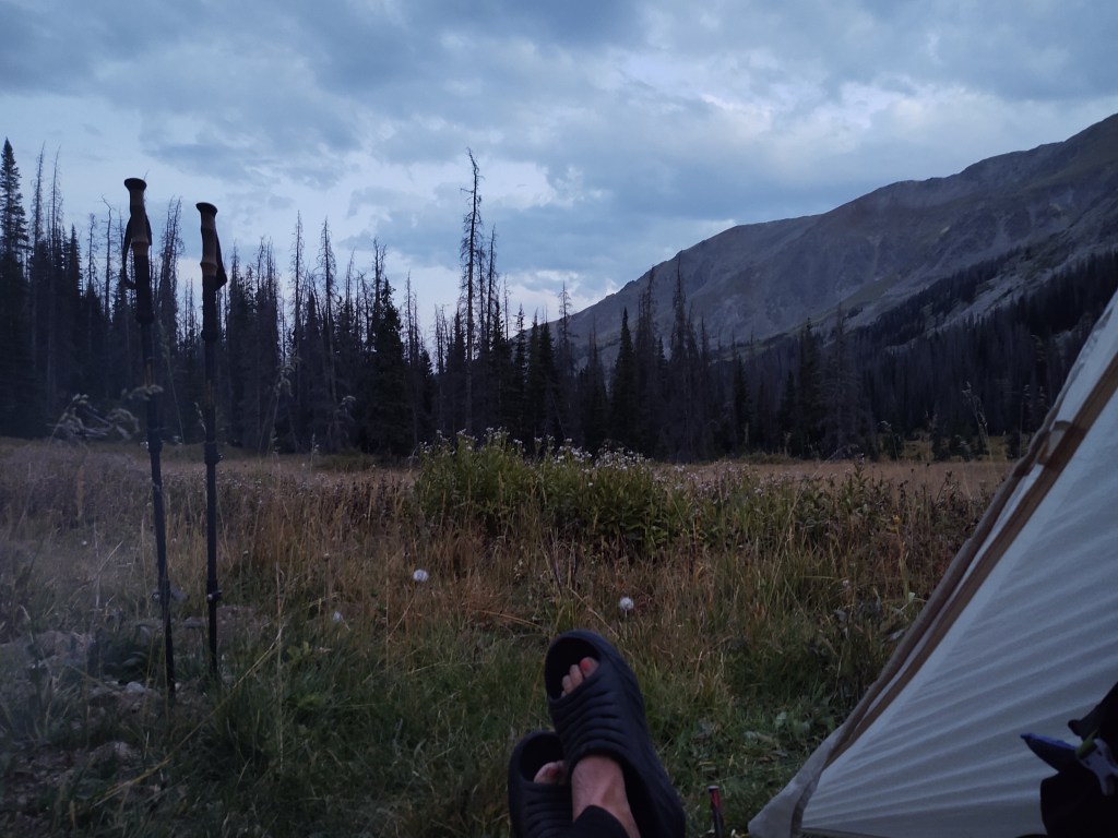
In all, the day was a pleasant one, considering the pain I started the day with. We ended the day camped next to a creek, and watched deer weaving their way through the forest till it was time to rehydrate our dinners.
9/9: 19.1 mi (1863.4 – mile 17 Mirror Lake Alt) Also known as lower (East) Collegiate route
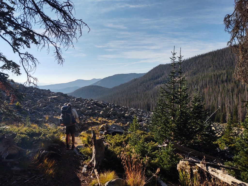
From our camp spot the previous night, we descended to the junction of the Colligate route(s). The next few days were supposed to completely clear, and relatively hot. Because the “high” East Colligate route traveled over 12,000-13,000 ft, and was a practically waterless exposed ridgeline, we elected to travel a less exposed route, with plentiful water. The “lower”/West Collegiate route.
And because we often like the challenge of “short cuts”, we forded a river and bushwhacked a mile through scratchy brush to cut off 3 miles of easy walking. We intersected the trail, just as it started to climb.

It was initially a mild climb through a forested area, until it turned into a multi-use trail, complete with a horde of dirt bikes.

These bikes chewed up the trail so bad it left us little, short of ruts and rocks, upon which to tread. One motorbike (rider) actually lost his balance negotiating the maze of rocks and fell, bike and all, on Paul as we lunched on the far edge of the trail.

After lunch, the trail continued to climb. It was dusty, hot, over 84°, and breeze less. We could only imagine how hot it must have been on the EAST Route without shade and water to mitigate the conditions.


Evidence of micro storms that brought destructive winds were piled high on either side of the trail. The trail crews that cleared this portion of the trail, certainly had their work cut out for them…pun intended.
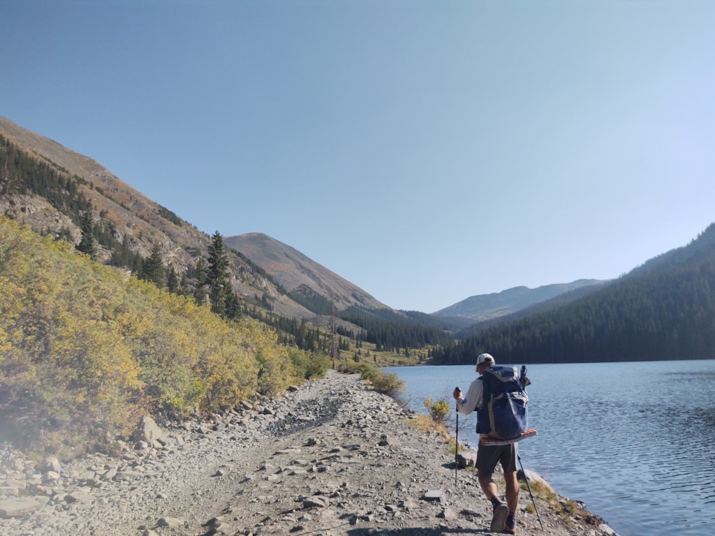
After climbing up to an exposed ridge at 12,386 ft, the trail dropped down sharply to Mirror Lake. To say that those 3 miles was pleasant would be an utter lie. Motorbikes and ATVs had chewed this route up as well.
We camped at the far end of Mirror Lake. Tin Cup Pass could wait till tomorrow.
9/10: 17.6 mi (mile 5 – 1900.4)
What a difference a day makes! It was a brilliant day. The climb up to Tin Cup Pass was fairly mild.

Tin Cup Pass is on the actual Continental Divide. This is where the water that flows from one side of pass travels toward the Pacific, while water from the other side travels toward the Gulf and/or Atlantic.
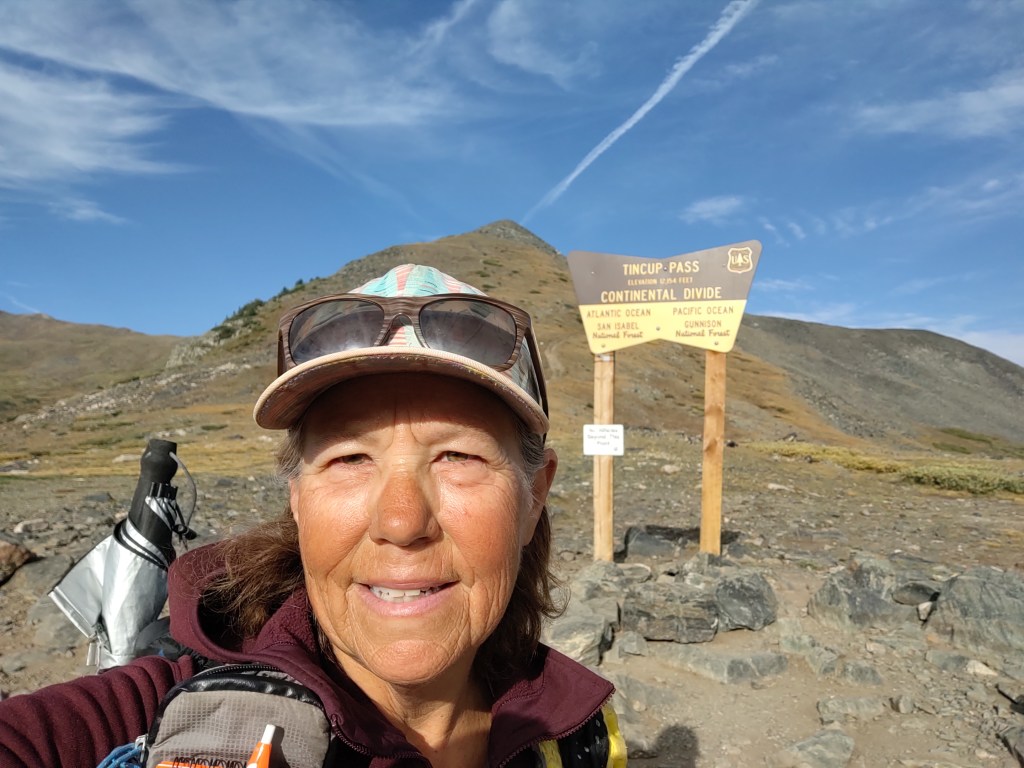
It is here that we enjoyed a cup of coffee and our morning “staple”, 710 calorie, Jumbo Frosted HoneyBun.

While reconnecting with the CDT, below Tin Cup Pass, we talked with Wayne. Wayne, who was in in his 70’s had just completed the route from here to Durango. He gave us great intel on what to expect over the next 300 miles, AND supplied us with some additional trail magic, in the form of snacks.

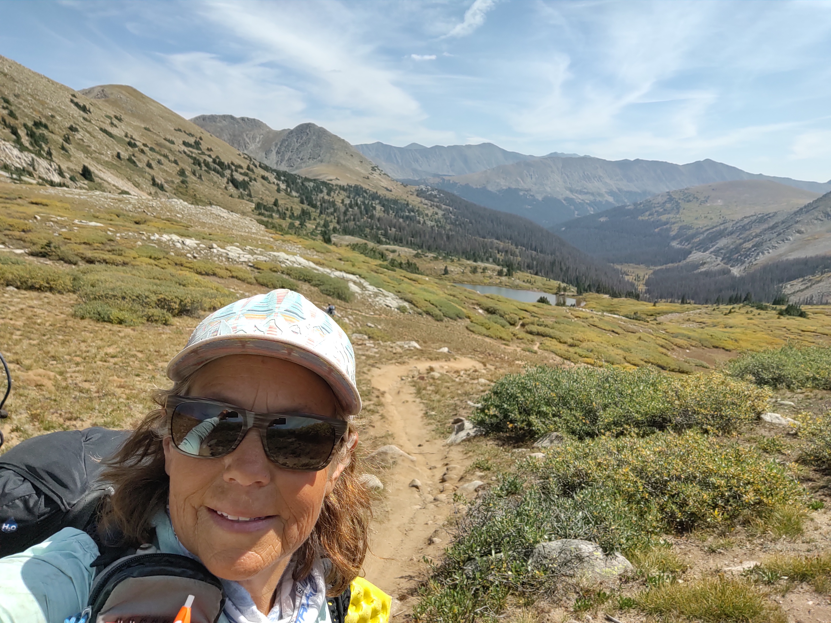
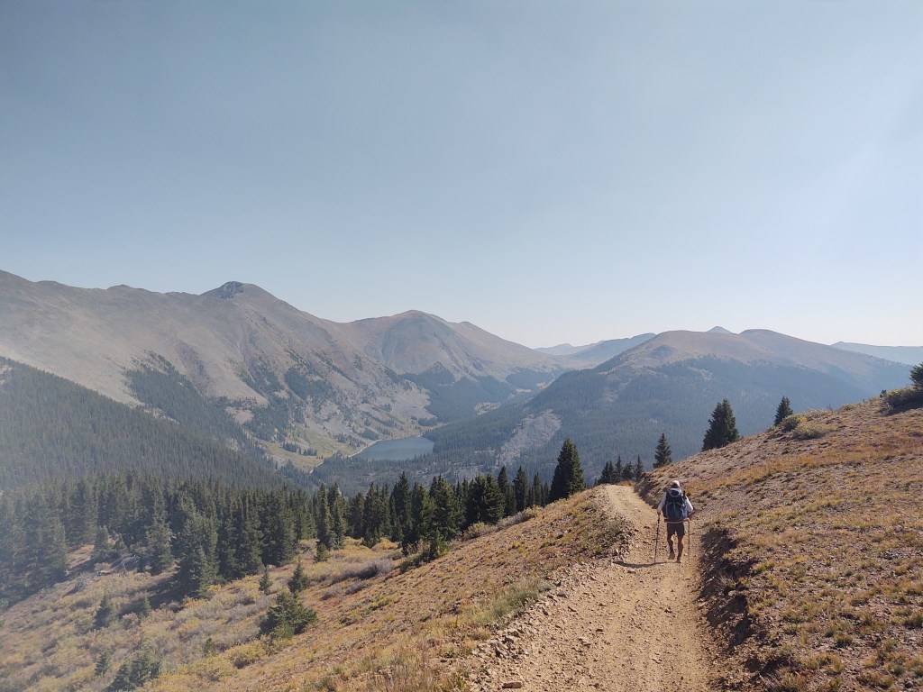
The trail weaved over wide open spaces above treeline, till it dropped down onto the remains of an old rail line, who’s tracks have since been removed.

At times though, you could see remnants of the railroad ties imbedded in the soil.
After our final 600 ft climb of the day, up and over 12,200 ft we searched in vain for a suitable place to pitch our tent. We settled for a lumpy meadow, which sent the local deer scurrying, and quite annoyed with us.
9/11: 5.4 mi (Alt to Monarch Pass) Hitch into Salida
As we were low on food (actually we were out of food… one snack left, each), we took an alternate to Monarch Pass. A hearty breakfast at the Monarch Lodge was calling, and we were determined to answer that call! I’ve got to say, this place was amazing. Carl our server, and I believe also our chef, was super. Great guy! A true hike breakfast if there ever was one. Especially if one has reached the pinnacle of “hiker hunger”, like we had. If it were not for our discipline, and need to have food for each day on trail, we could easily eat the entire contents of our food bag, usually by day two, after a resupply.
While gorging ourselves we made reservations at a hotel in Salida. We actually got their last room. Apparently it was Salida’s annual Fiber Festival. After a relatively easy hitch into Salida, we did our best to graze through the town’s recommended dining and beverage establishments.

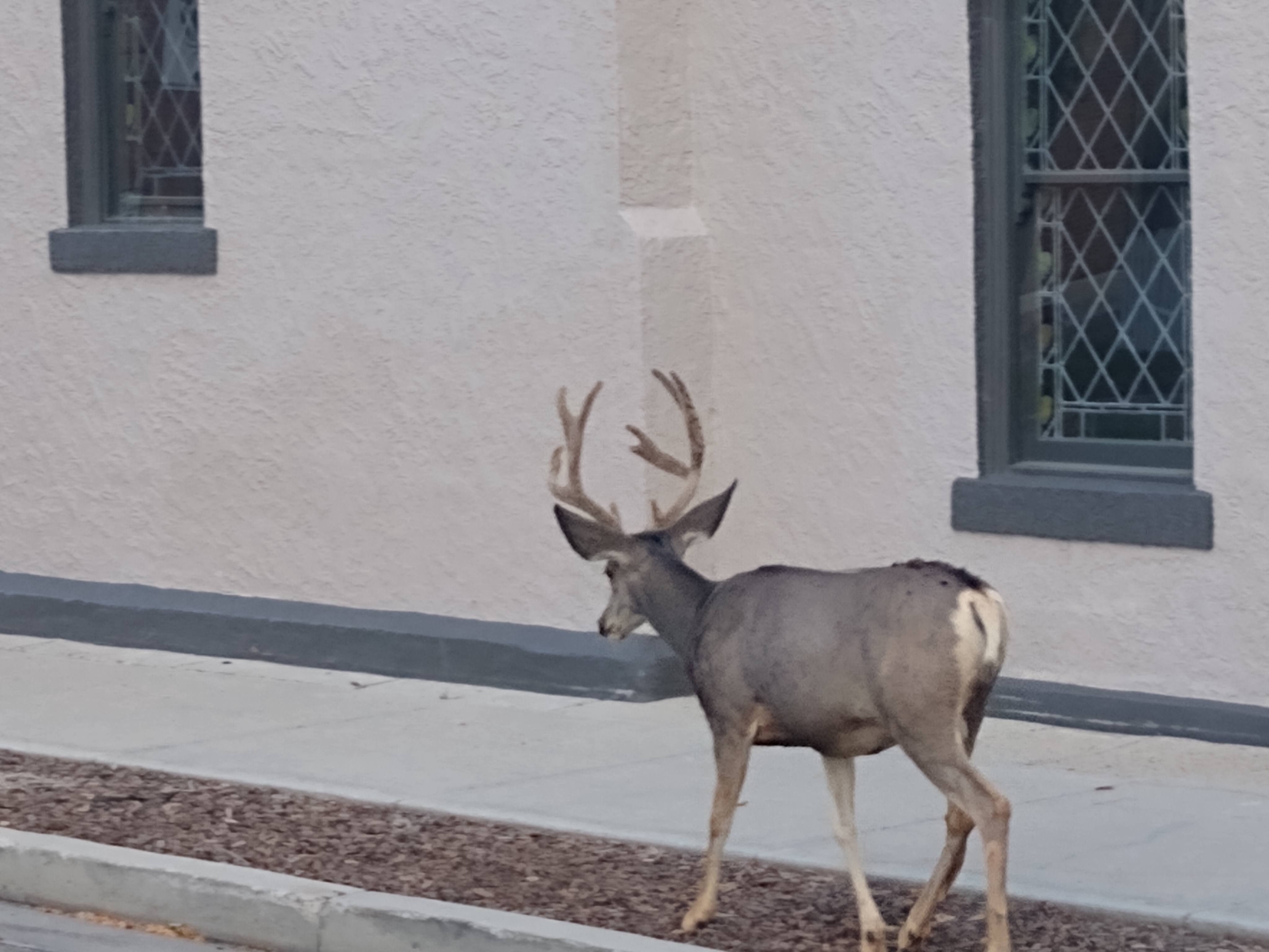
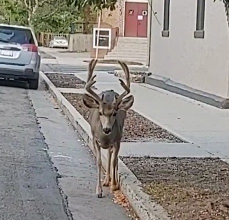
Funny thing, we actually saw more mule deer bucks in town than we had so far on trail.
While shopping and packing up for our resupply, we ran into the Wander Women (YouTube channel), who were hiking the Colligate route while waiting for California to reopen the PCT because of fires. We had met them last year,on the CDT, in Dubois Wyoming.
After a quick load of laundry, we caught Saturday evening Mass, and gorged ourselves some more, and then prepped to get back on trail the following morning.

Nice buck! ! Loved your blog. .
I know. I could have wrestled it. Paul was worried I was getting too close