
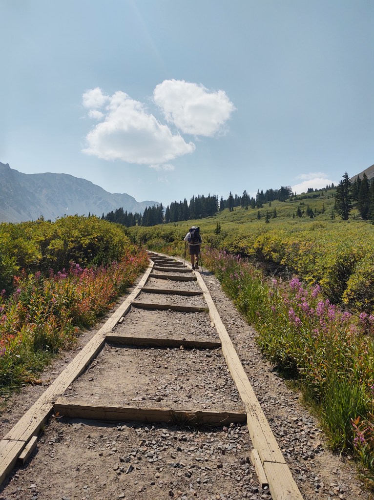
8/29: 16.2 mi (1685.7 – 1701.9)
We are known to walk more than a mile to get good coffee, and this morning was no exception. Moon Frog Coffee Shop was well worth the two mile r/t trek.
Happily caffeinated, we got a hitch back to Berthoud Pass (11298 ft). Today we would begin a week with a series of climbs and traverses that would be difficult to forget. One could even describe it as traumatizing…but we survived. We did things that I never thought I could/would ever do, and with all seriousness, would not do it again. Had we really known what was coming up, I dare say we may have skipped this section.
From Berthoud Pass we made our first climb to Stanley Mtn (12,499 ft), followed by another peak, only referred to as “Summit” (12,648 ft.)


From there we worked our way around toward Hassell Peak (13,208 ft), but not before encountering what could only be described as burgeoning rave party, complete with a techno DJ!

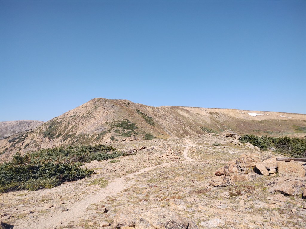
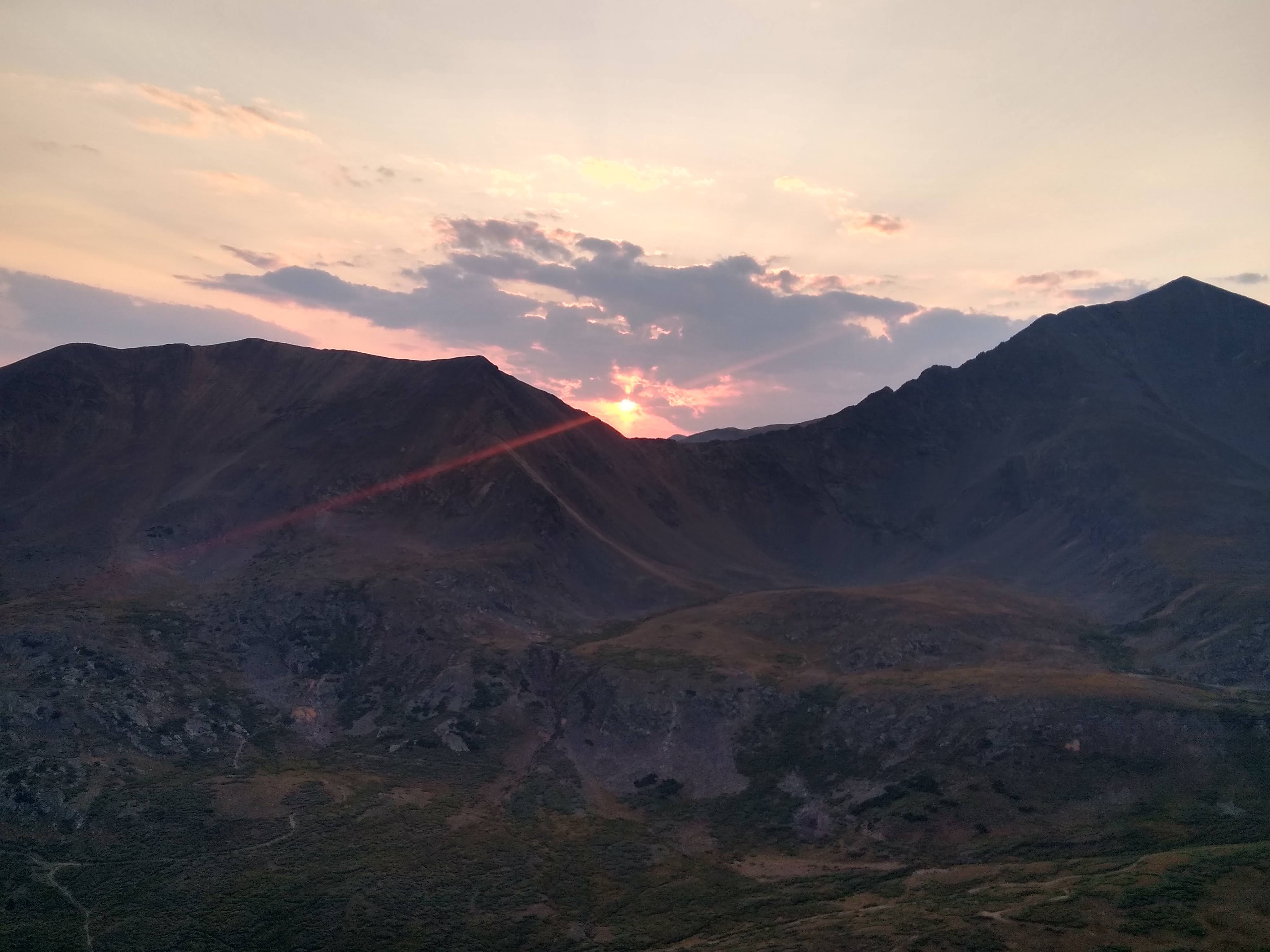
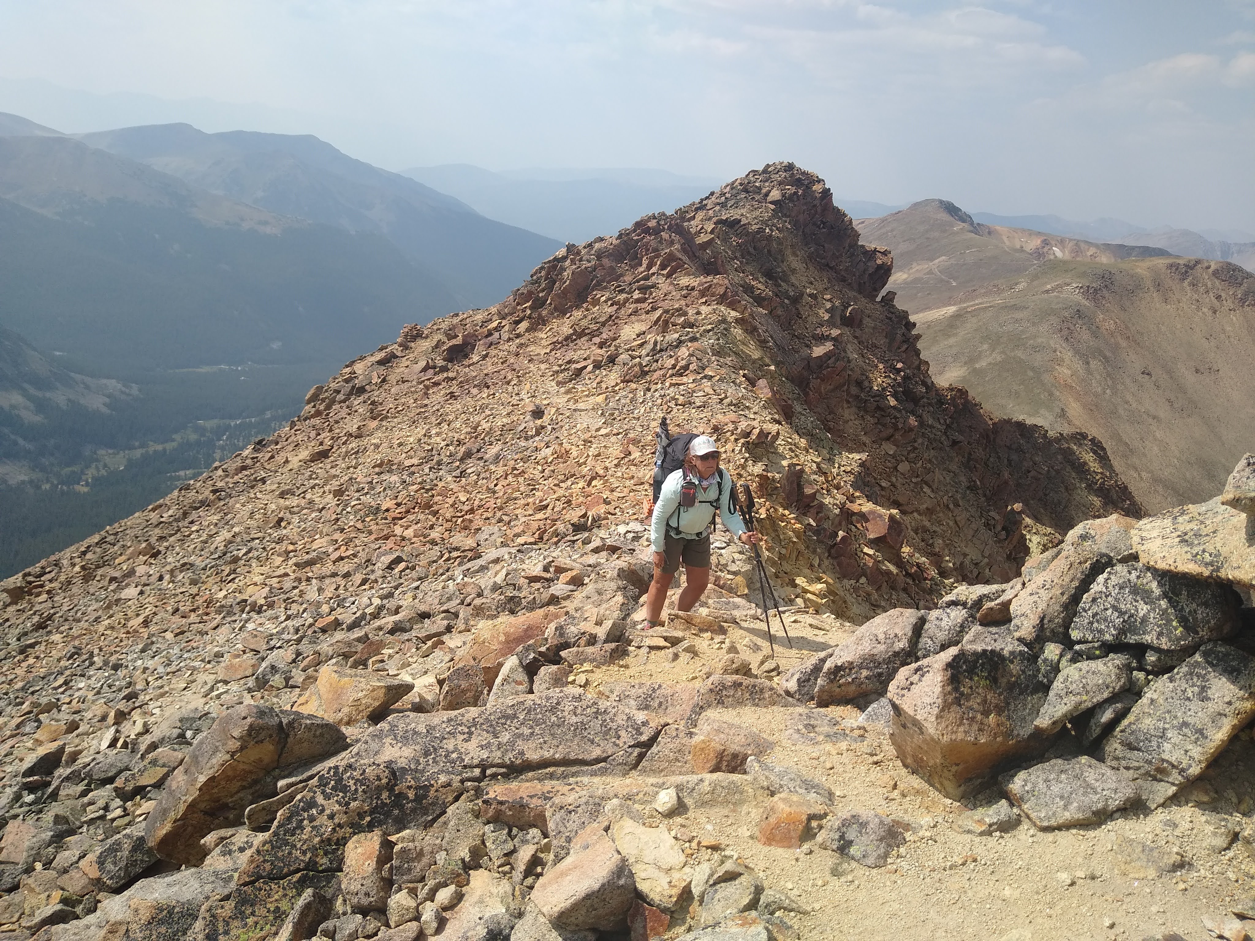
From Hassell Peak, we ridge walked to and over Vasquez Peak (12,947 ft). The wind was howling and non-stop, until we began our descent that seemed to take forever. The most interesting part of summiting Vasquez Peak, is the fact that some “crazy” on a mountain bike rode our same route over the scree and between the jagged rocks that lined the narrow and sometimes treacherous trail.

Vasquez Peak 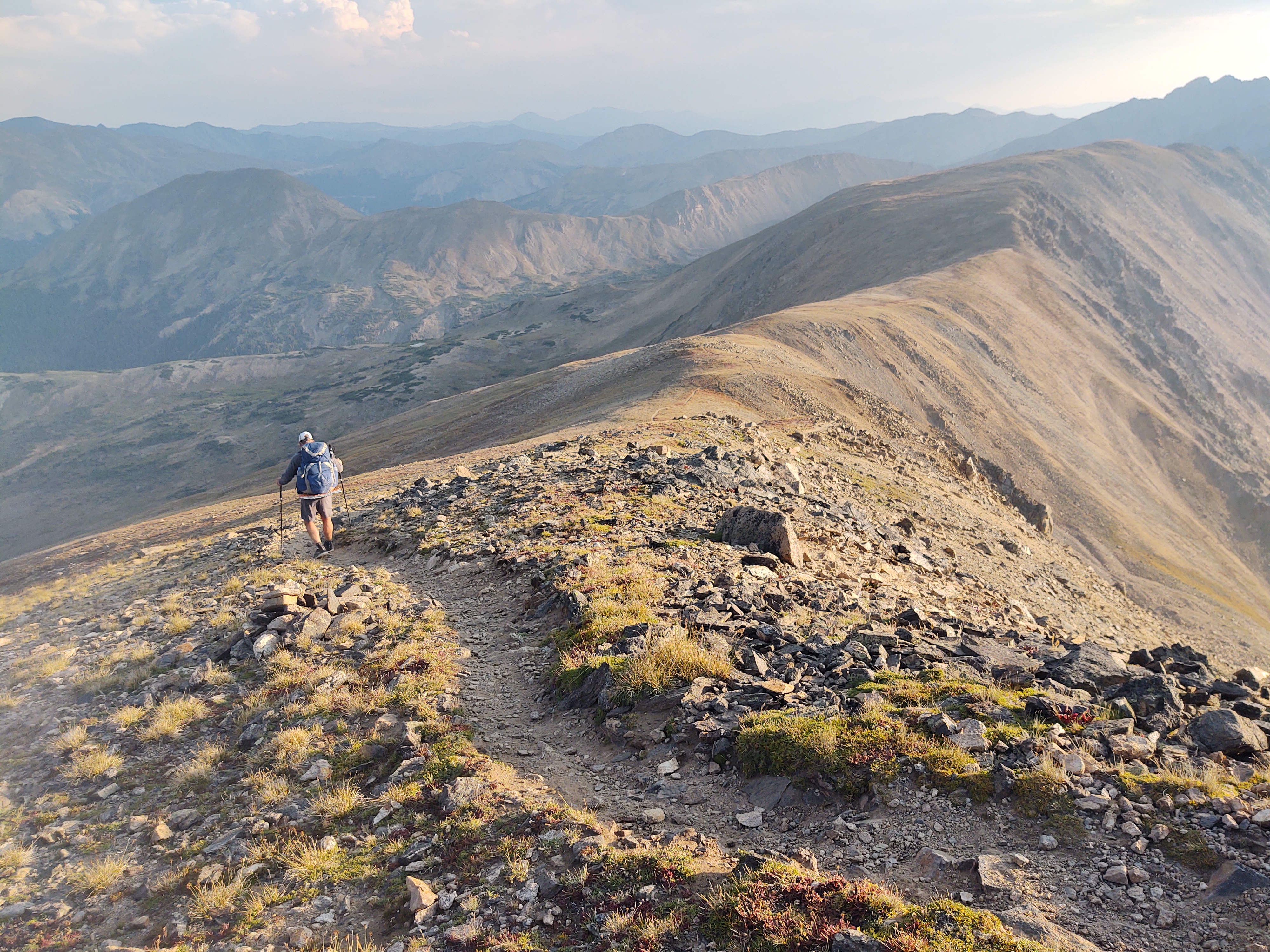
Our campsite found us completely out of the wind. Tomorrow we climb Gray’s Peak. A fourteener.
8/30: 17.9 mi (1701.9 – 1720.8)
Up early…again, we made our way down to the highway. The trail was busy with day hikers and a high school cross country team.

Once we got down to Herman Gulch parking lot we made our way under the hwy. Thinking we were smarter than the trail, we attempted a “short cut” in hopes of cutting off a half mile. This meant a slight bushwhack and a stream crossing. Everything went as planned until the last two steps of the stream crossing. This resulted in double-footed soakers.

Determined to walk our feet dry, we returned to the trail that ran down the length of a paved bike trail whose edges were lined with wild raspberries, and flowing springs.

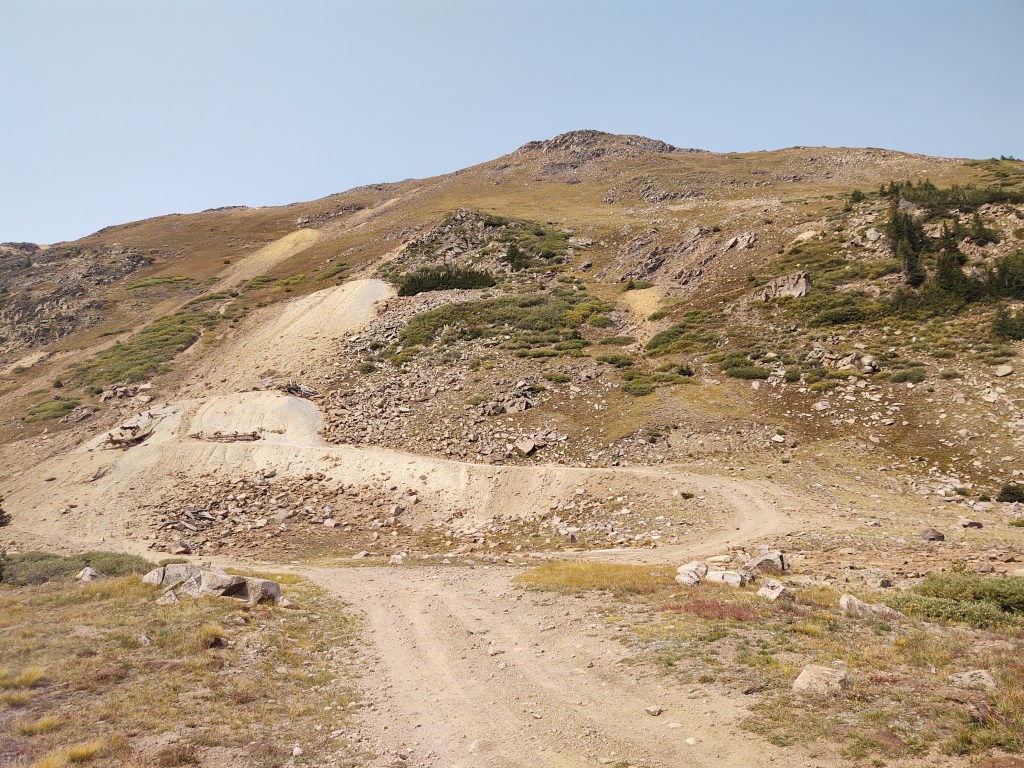
The bike path ended at the base of the dirt road approach to Gray’s Peak.
As it was now nearly noon, we had three options to get to the base of Gray’s Peak, 3miles away up a dusty, steep, rock strewn dirt road. As there was a serious storm approaching within two days, our window of opportunity was getting smaller by the hour.
- Start walking up the hill during the heat of the day
- Set up camp and try and hitch to the base at 3am with a prospective “summiteer”.
- Hitch up the road, and based on what time we get up to the parking lot, determine when to start our climb of Gray’s.
I sat alongside the road, in the dirt while Paul went to fetch water from the nearby river. Just as he returned a Honda CR-V pulled up toward the road. I casually raised my thumb and smiled. The car passed me, then stopped. “Where are you trying to get to? The campground?”, the elderly couple asked. Ideally to the parking lot at Gray’s we told them. “We have a cabin right next to the parking lot. We’ll give you a ride”. How lucky was that?!
The 3 mile ride up the tattered road was fraught with erosion, but our driver was familiar with the twists and turns of the road and was unfazed. She nimbly weaved her Honda CR-V up the road as she told us the history of the area. It was once a gold mining community, whose plots were sold off to those who are seeking solitude in the mountains.
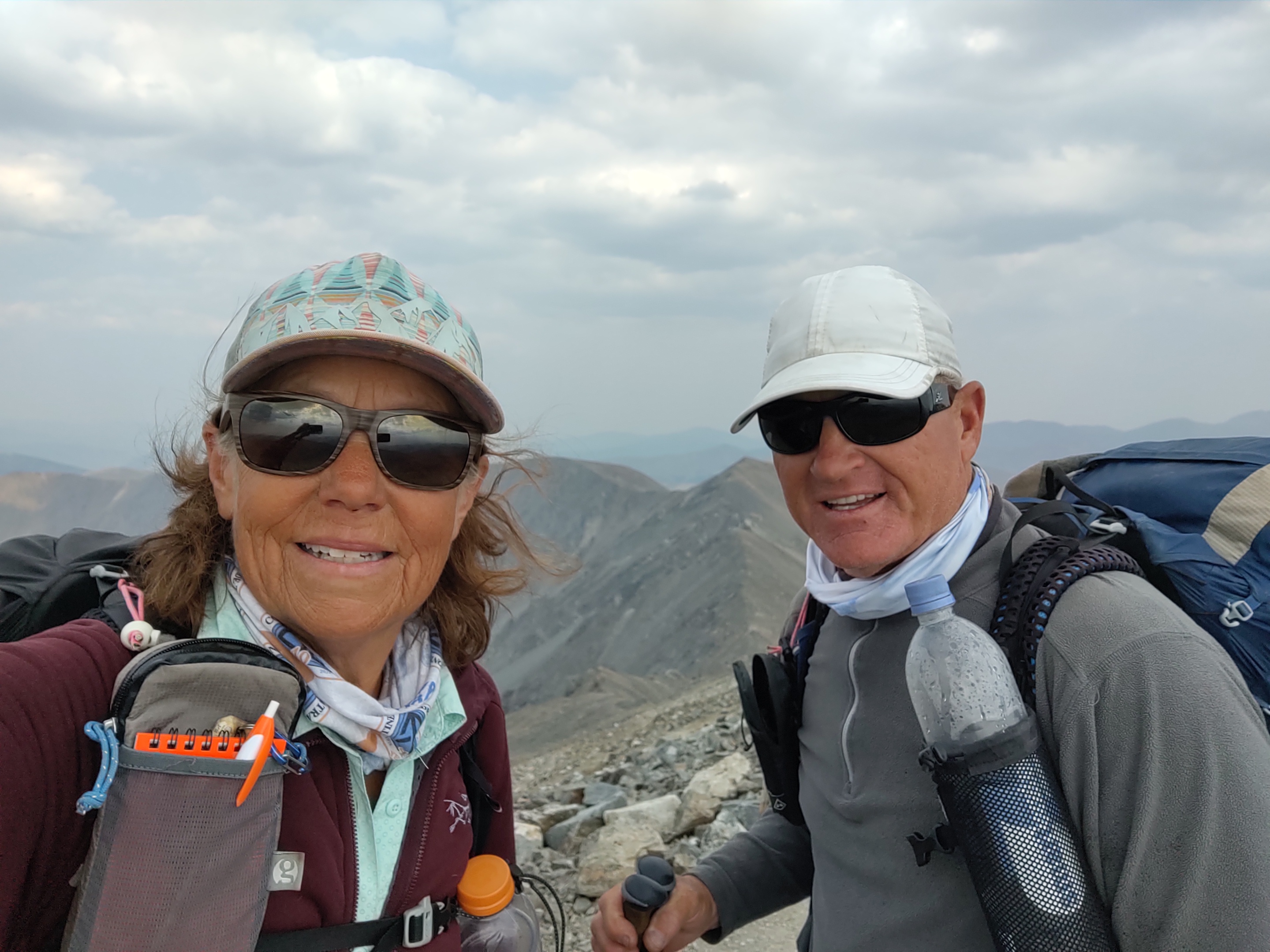
Since we arrived at the base of Gray’s at 1 pm, we decided that since it was only 3,000 ft climb over 3.6 miles to summit, we decided we had plenty of time. By 4 pm, after stopping and talking with numerous people, who wondered what the hell we were doing (climbing in the afternoon, and carrying more than a day pack) we reached Gray’s Peak (14278 ft.) by 4pm.

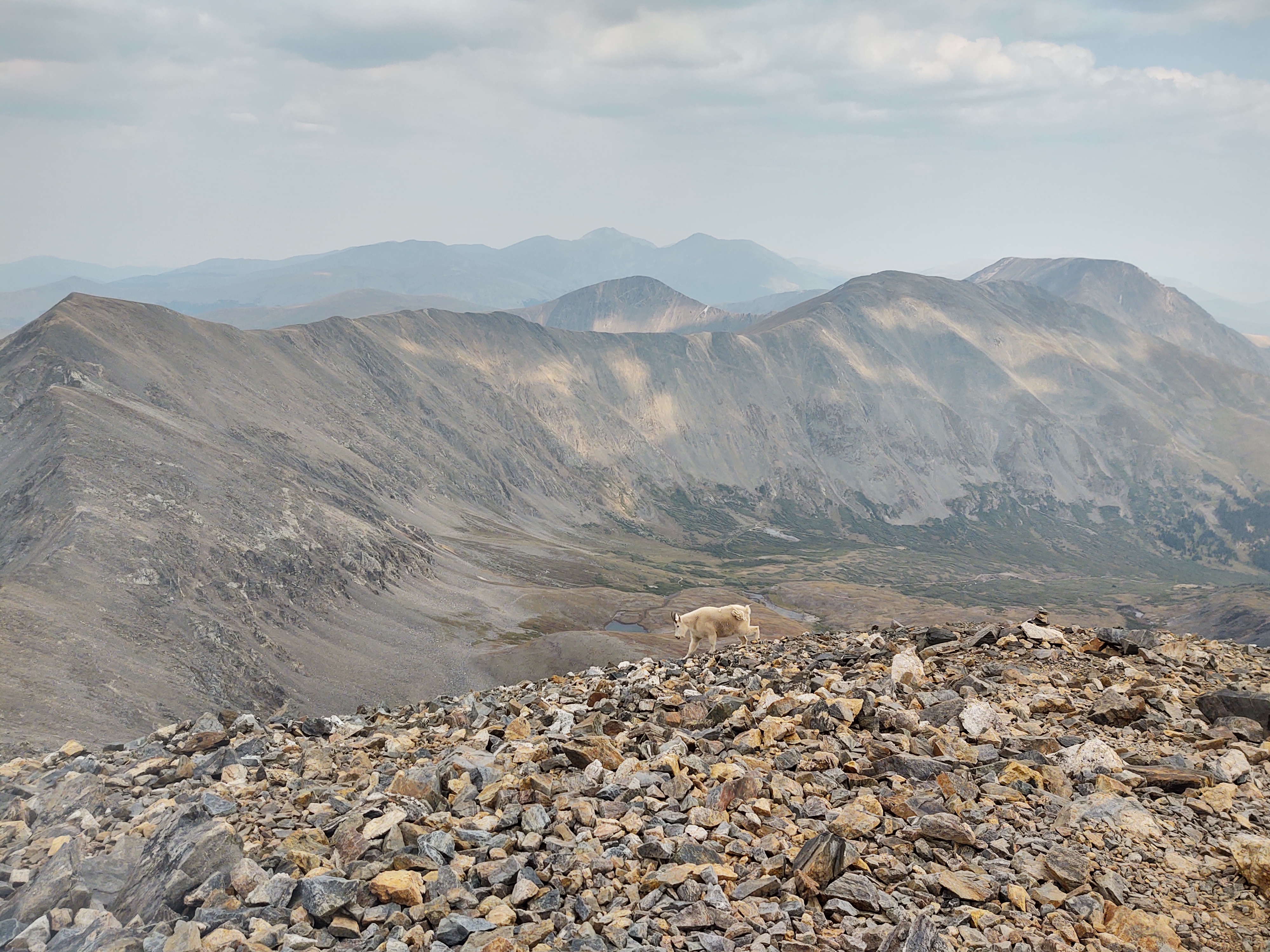
Along the way we were greeted by a mountain goat “sentry”, who meandered off the trail so we could summit.
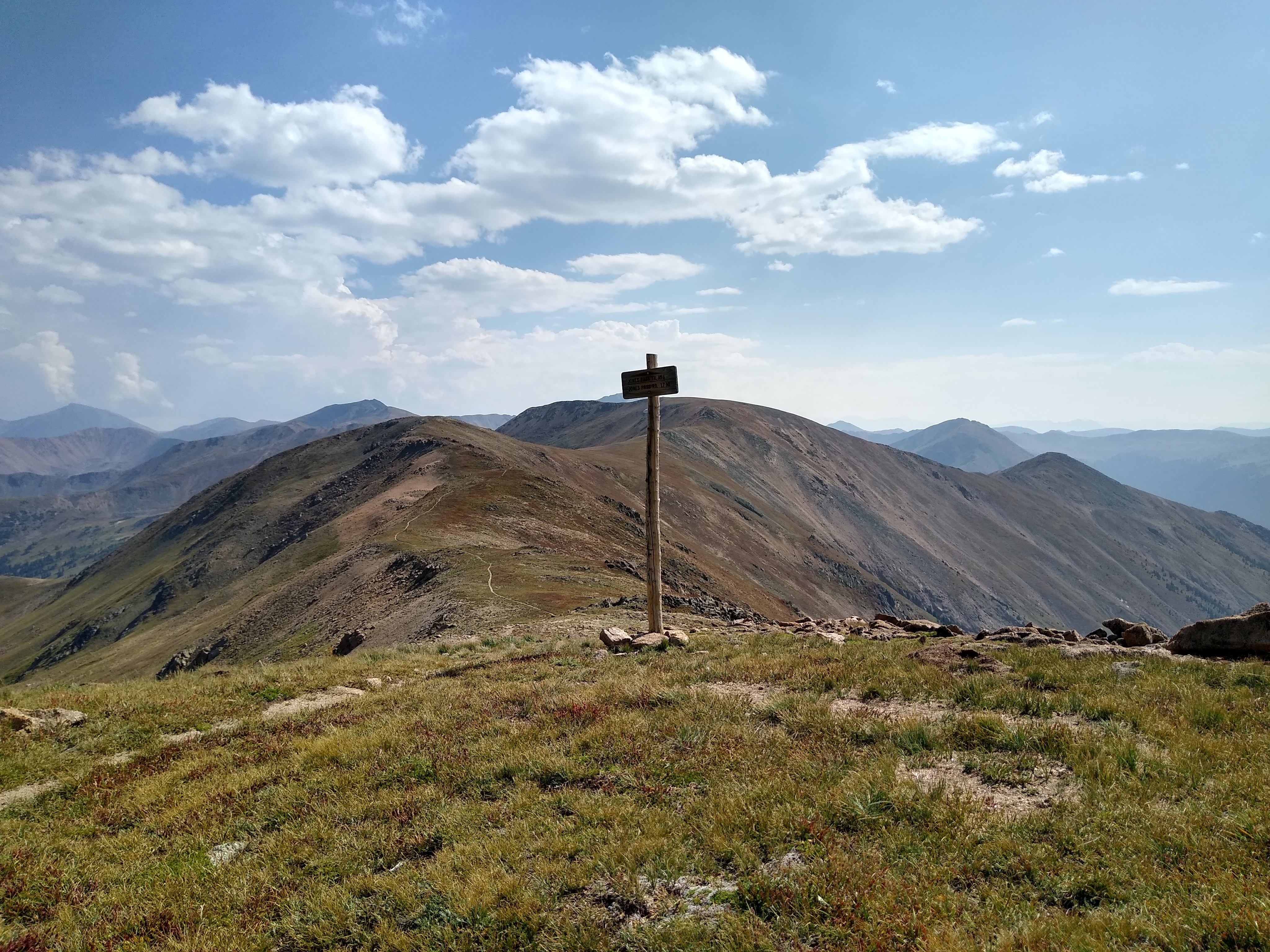
Plenty of daylight left and not a breath of wind, the trail continued from Gray’s and across to Edward’s Peak (13856 ft). It took us 2.5 hrs to go 1.5 miles to make our way to the peak. No one told us about Edward’s, even though we had read comments about Edward’s on our Guthook app. Something about it being “dangerous” had us confused, as it was lower than Gray’s, and was on/along the redline of the CDT.

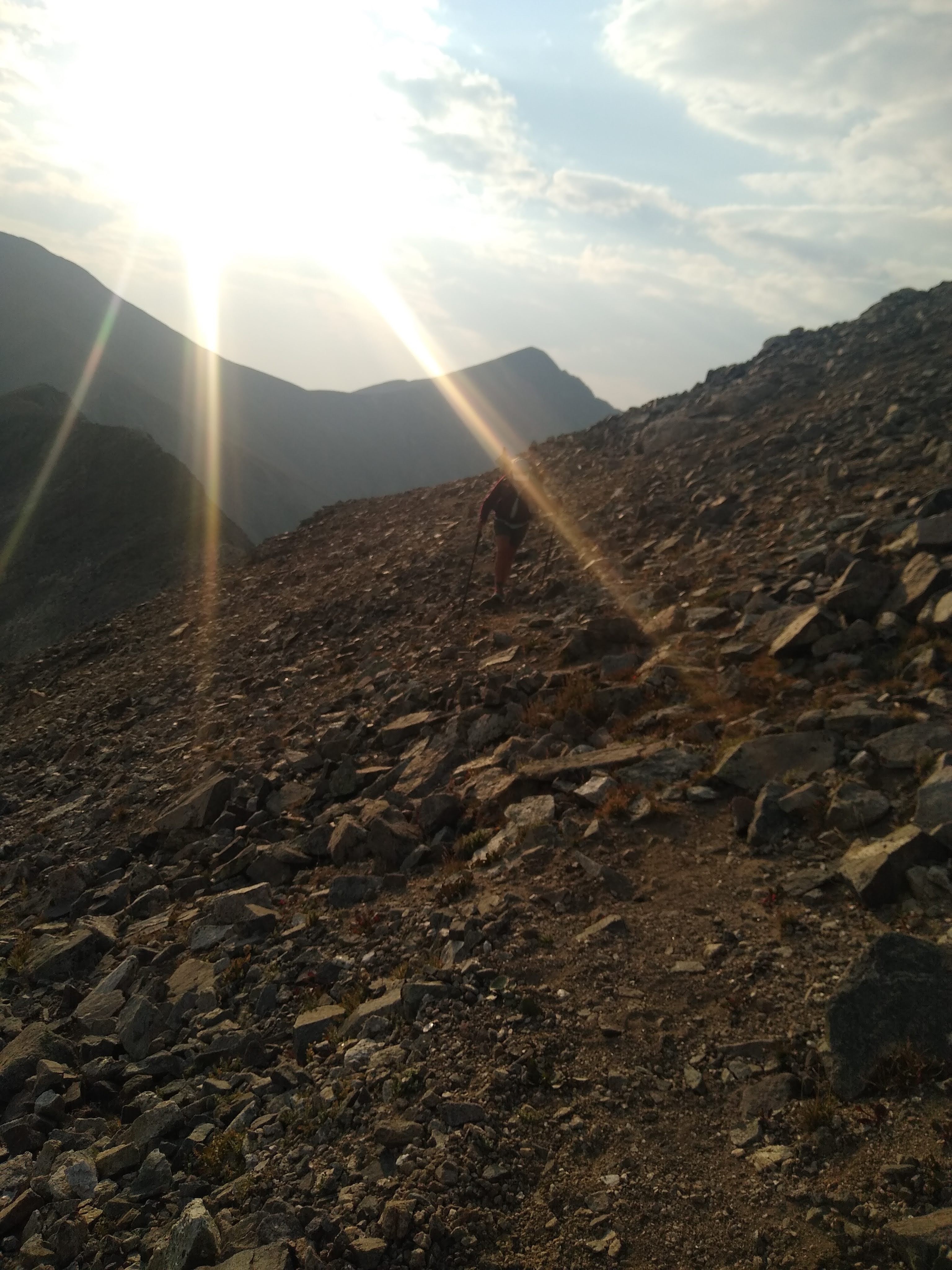
The traverse to Edward’s was for lack of a better description, “Fucking Scary Balls”, absolutely terrifying! Three times scarier than when we did Mt. Whitney in 2016. I’d rather of slathered myself in honey and walked through The Bob naked. The descent was even more treacherous. The “trail” was lined with loose rocks and sharp scree. And to think miners led mule trains along this route, as evidenced by what was left of a narrow road and delapitated mining sites.
Having been drained physically and emotionally, left us walking into the dark before we found a suitable place to camp.

8/31: 11.1 mi (1720.8 – 1731.4)
So last night was “fun”. I suffered from searing leg cramps ALL night. When I woke up the next morning, I felt like I had been dragged behind a horse. My knees and feet were sore. They were shot from the day before. It was hard to get going. My morale and energy was at an all time low.
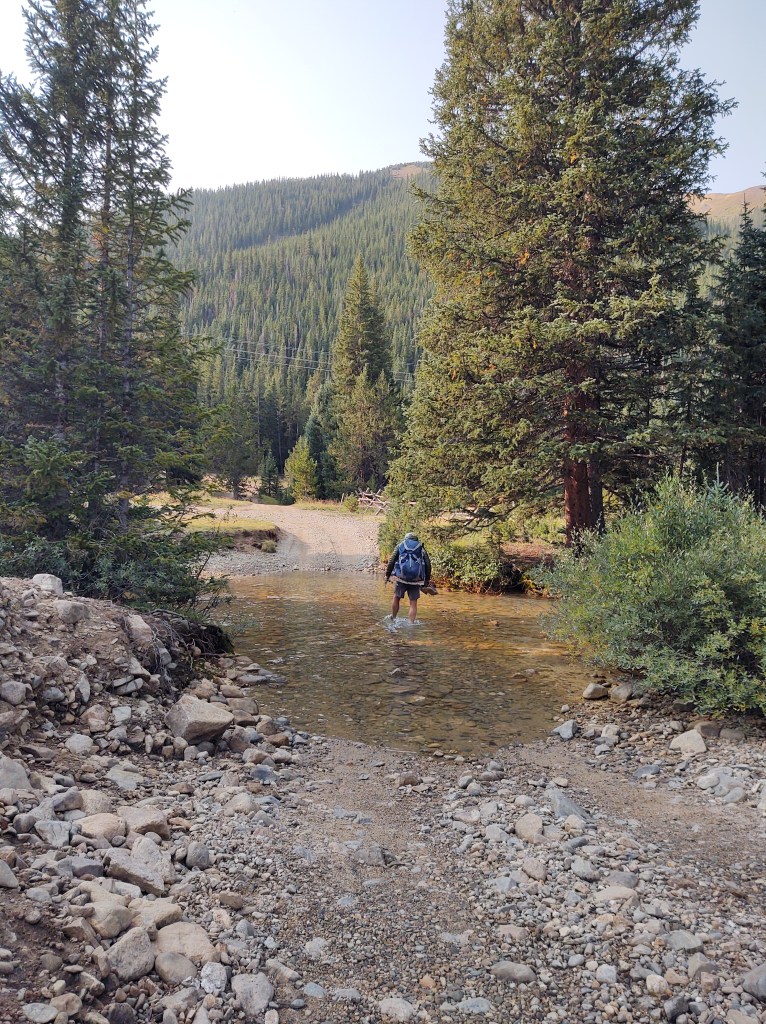
This was not helpful as we had several 2,000 ft climbs…and an early morning stream crossing.
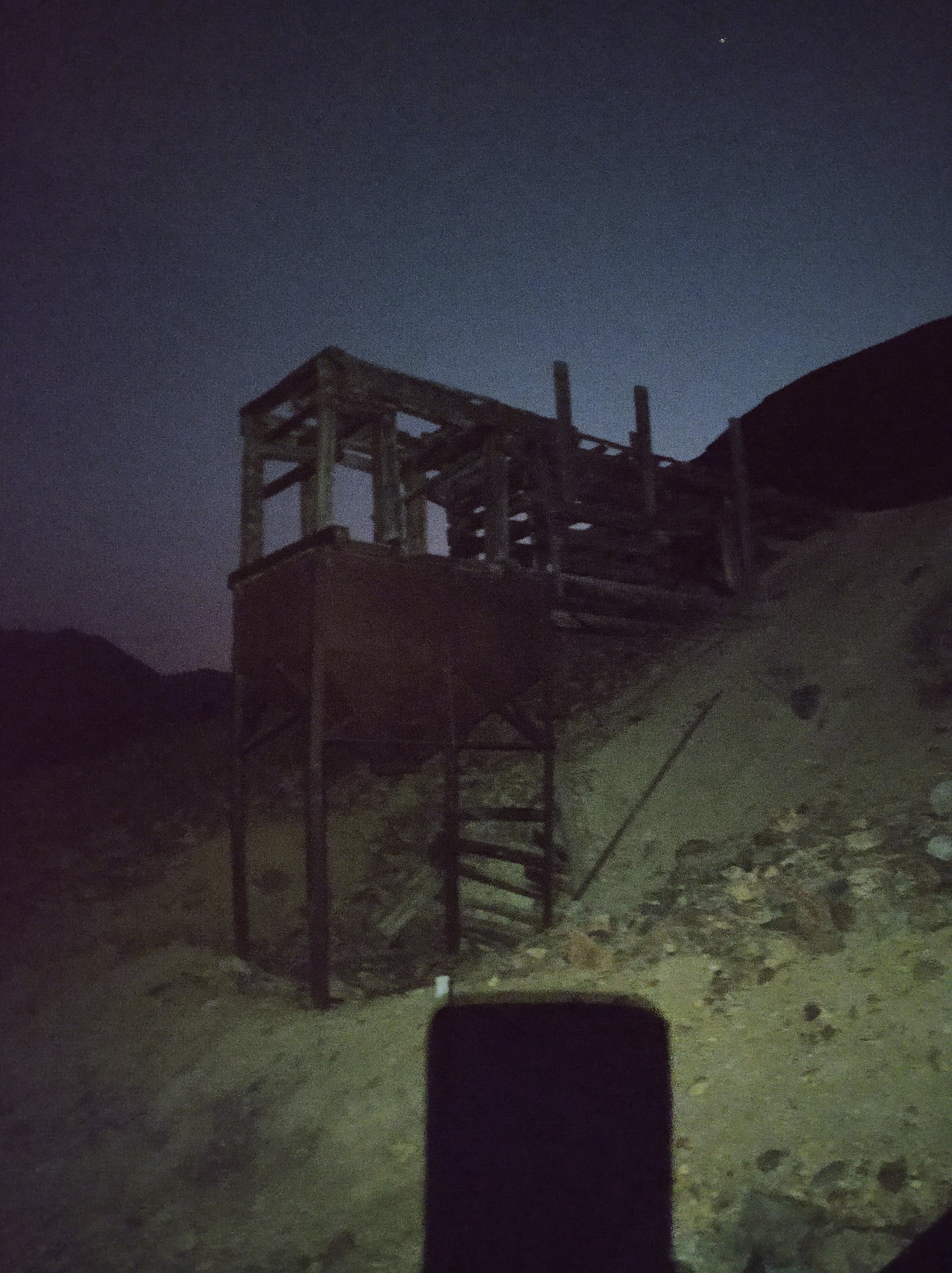
At mile 1725.6, we had a dangerous climb and traverse up the face of an old mining area.

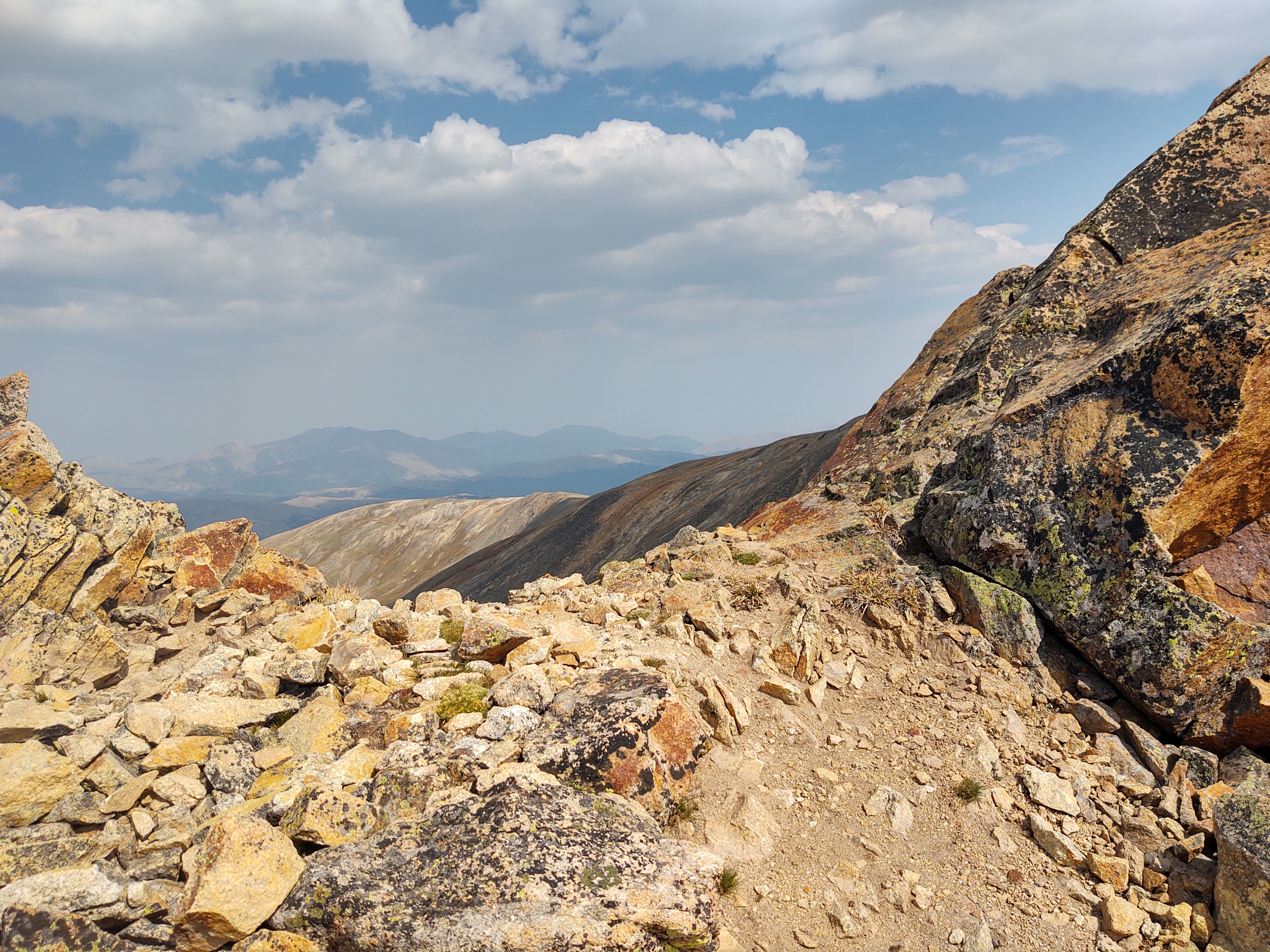
In order to get to the ridgeline we were to walk at 13,000 ft. for most of the day, we had to climb the “remains” of a miner’s “ladder/stairs” to get to a faint trail, and then carefully traversed the hillside made of scree (loose rocks) and spotty vegetation. When we made it to the start of the Ridgeline walk, we took a well deserved break and surveyed what lay behind us.

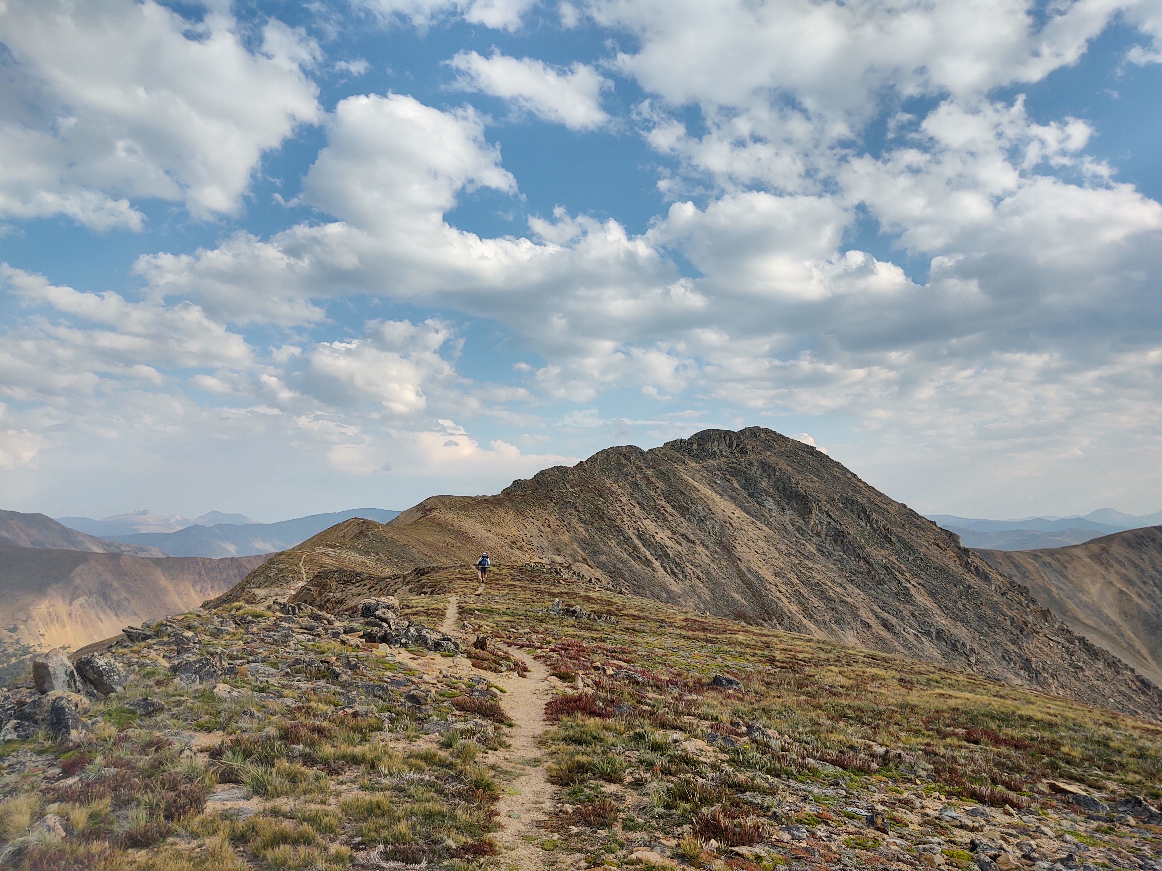
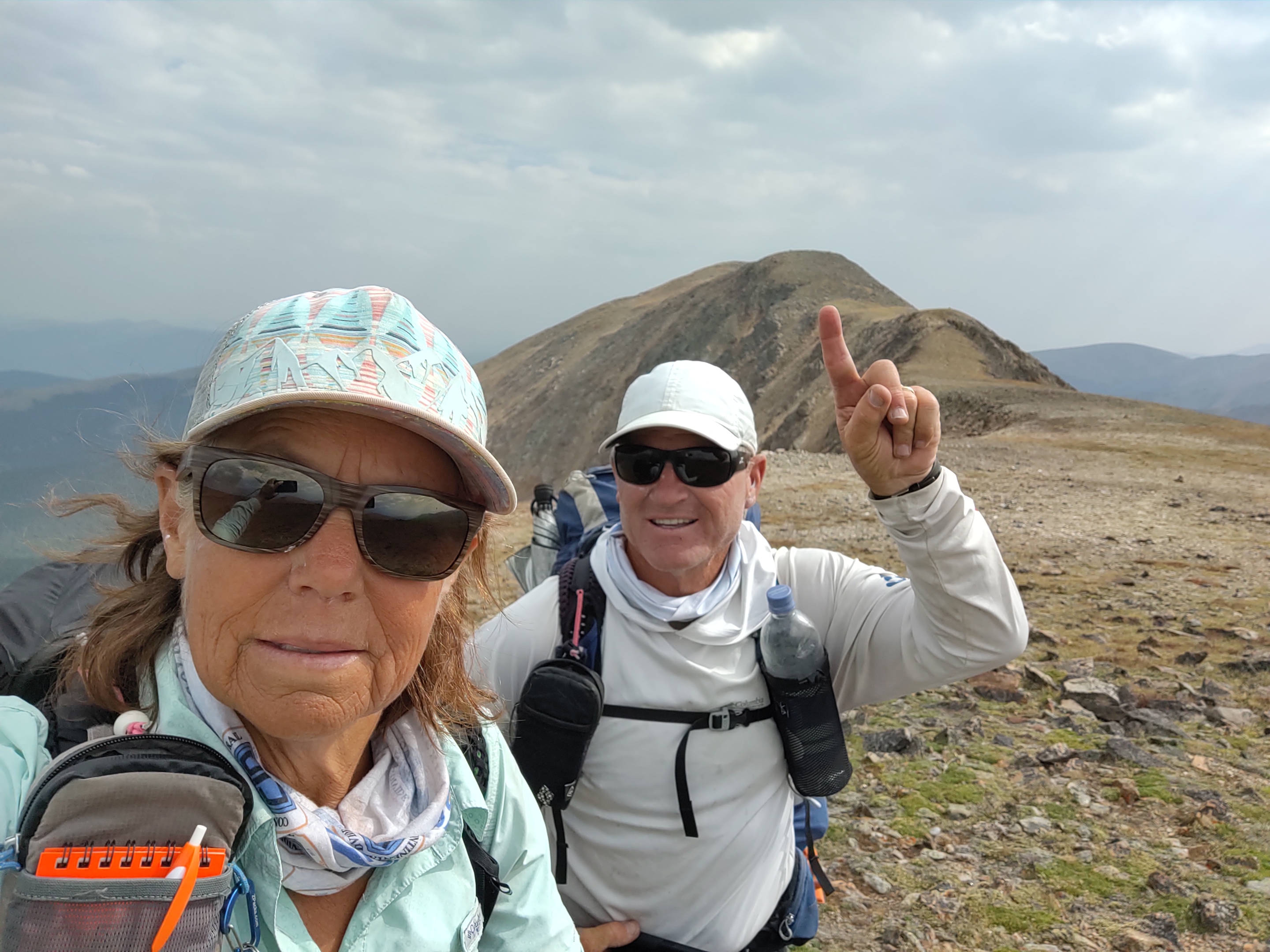
Today’s trail would lead us (via carin to carin) up and over the following peaks:
- Santa Fe Peak (13,140 ft.)
- Sullivan Mountain (13,096 ft.)
- Geneva Peak (13,245 ft.)
- Summit (13200 ft.)

Feeling pretty drained and low on water, we dropped down into a valley for water and to set up camp. This would leave us with ruffly 27 miles into Breckenridge.

9/1: 27 mi (1731.4 – 1755.9)
Rather than backtrack, we found a route up a mining road that would lead us back to the “redline”.

An old miners cabin and scars in the hillside, as we climbed reminded us of how rugged and hearty the people of that era were…compared to us.
Atop a mesa we breakfasted. It was here that one of my trekking poles decided it had had enough and was going no further. The end section had broken cleanly in half. Better to find out then rather than on a sketchy descent.

Miraculously we made crazy mileage. Getting to Breckenridge before a nasty storm set to “land” the following day was our motivation. The fact that the CDT finally connected to the Colorado Trail (CT) helped as well. It was, as Paul said, “like walking on Berber carpet”. Our goal was to get as close to the Gold Hill Trailhead as possible. A family friend. Clifford, would pick us up and take us to his condo in Breckenridge for two days of r&r.
3.4 miles from the trailhead we set up camp, just as it started to pour.

You two are so adventurous! I have to hand it to you two. Take care. Enjoy reading your descriptive ventures. Take care. Jan
Type 2 fun I can only imagine when you compare to our Whitney follies. Stop using up your 9 lives!
Ha. Pretty sure I’ve exceeded the 9 so far.