
July 26: 12.7 mi (231.5-242.8)

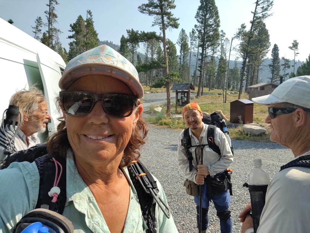
Rather than stay at the Benchmark Ranch another night, we decided to do a “Nero” (“minimal mileage”) on trail. We hiked out of Benchmark via a 1.5 mile road walk past the 6000 ft long, Forest Service air strip, and made a left onto Straight Creek Trail. This would take us directly back to the CDT at mile 242.8. Here is where we would spend our “Nero”…after crossing the Straight River.
As we were leaving Benchmark and fired up our InReach, we got this message from Sheepgoat.
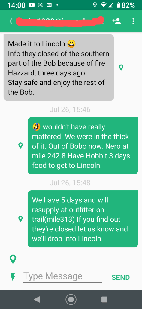
What? The Bob was closed? These things happen when you have zero cell service.
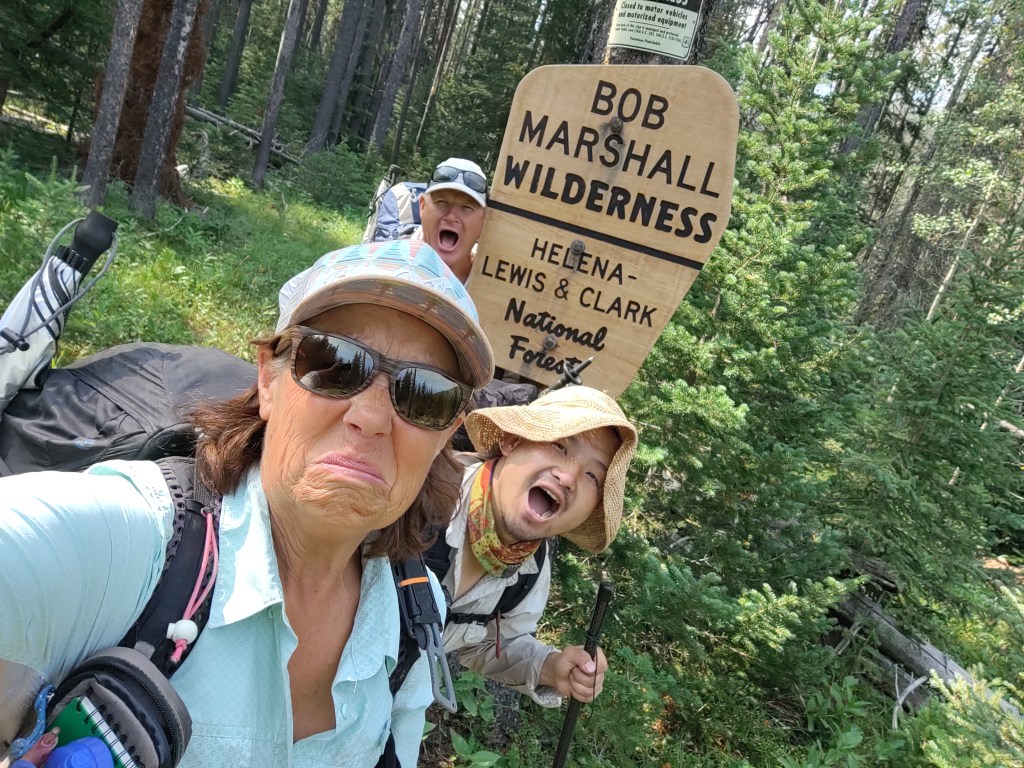
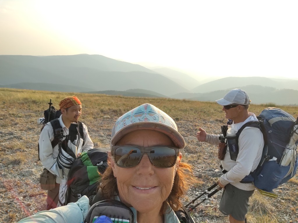
As we approached the Straight River TH, we noticed that once again we would be entering The Bob in order to get to our “Nero” destination. Obviously we were overjoyed.

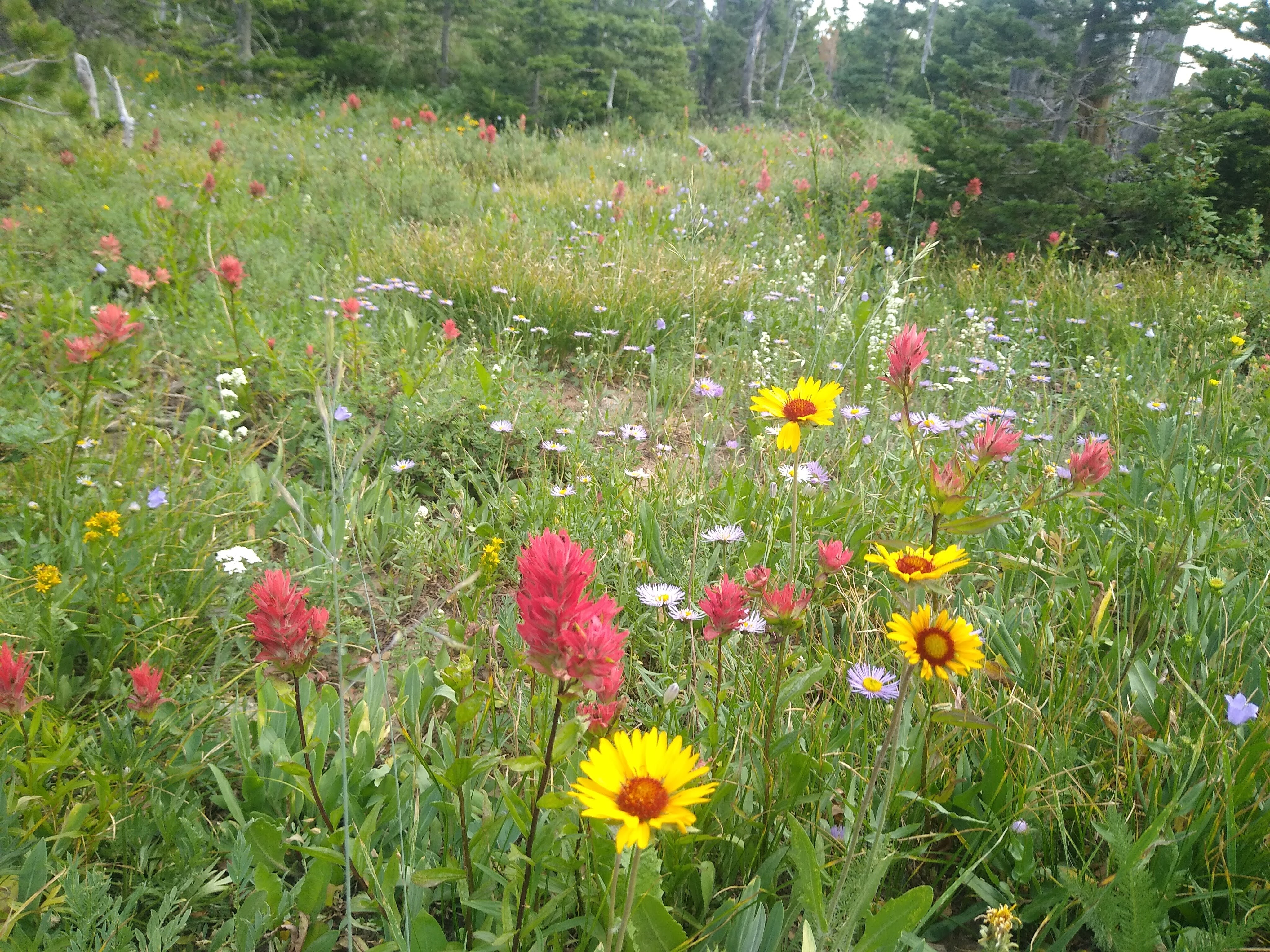
The trail was easy and straight, with the equally Straight River to our right. The trail was also lined with ripe huckle berries that we feasted upon as we meandered down the trail.
The 12 miles went by quickly, and in no time we crossed the river, and set up camp.
We were so glad we camped where we did. After we had set up camp the afternoon, the wind gusted violently the remainder of the day.
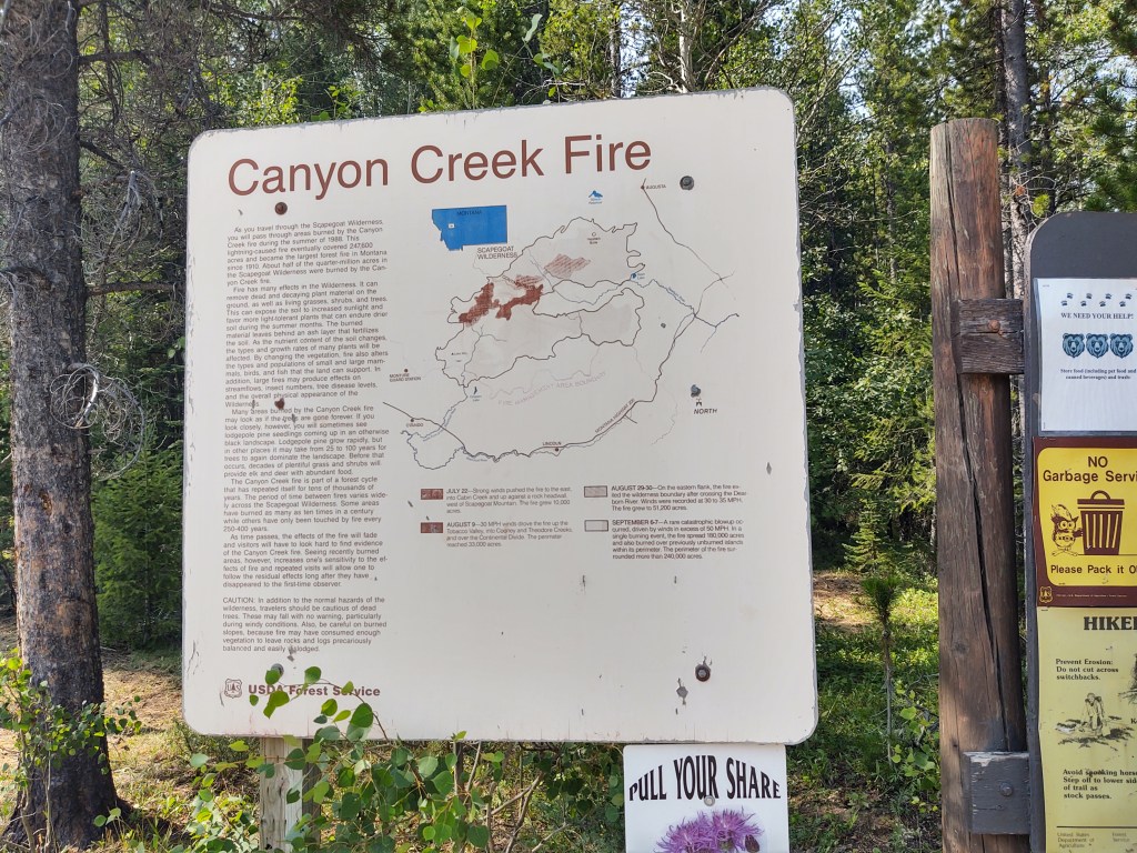
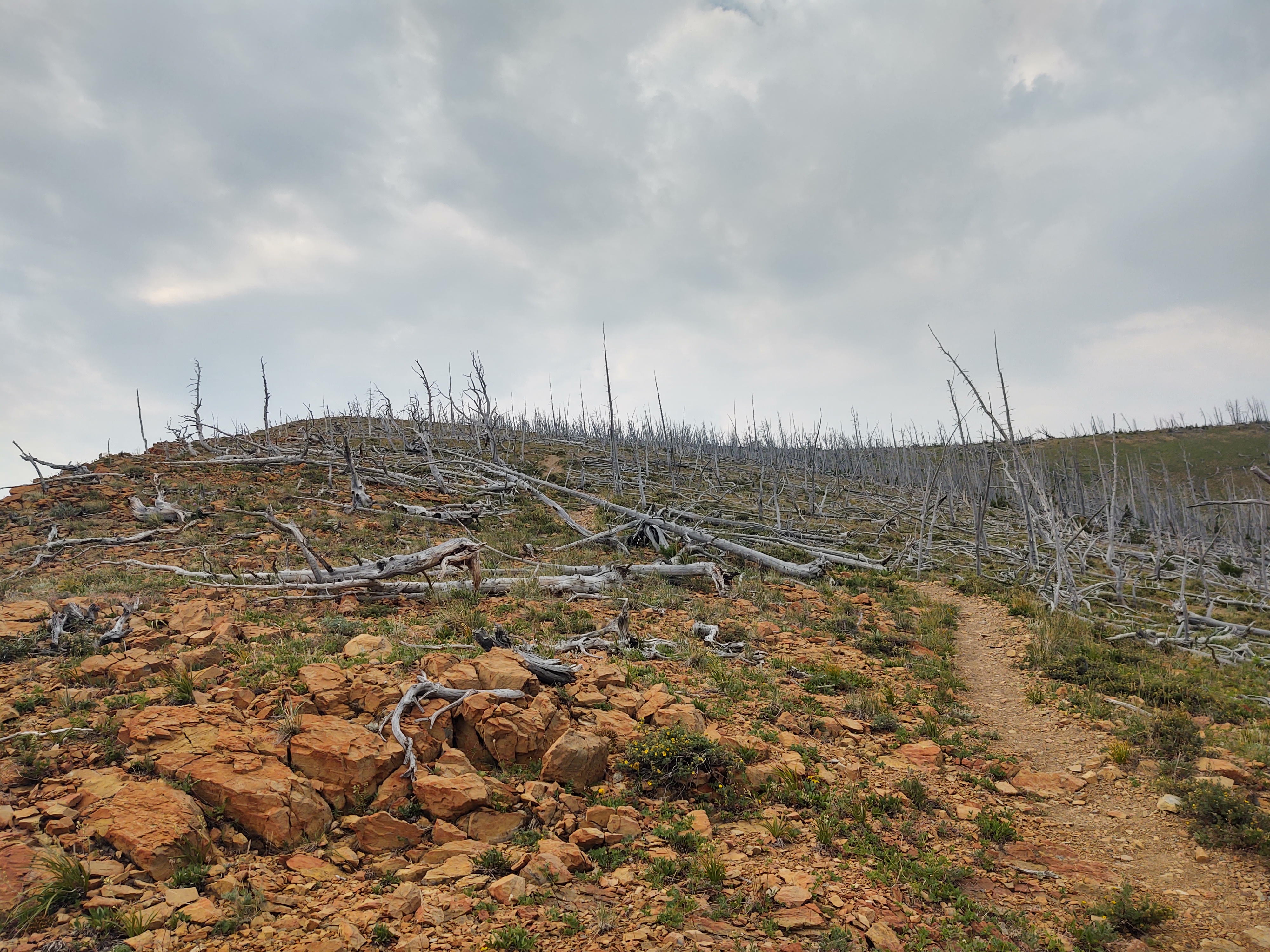
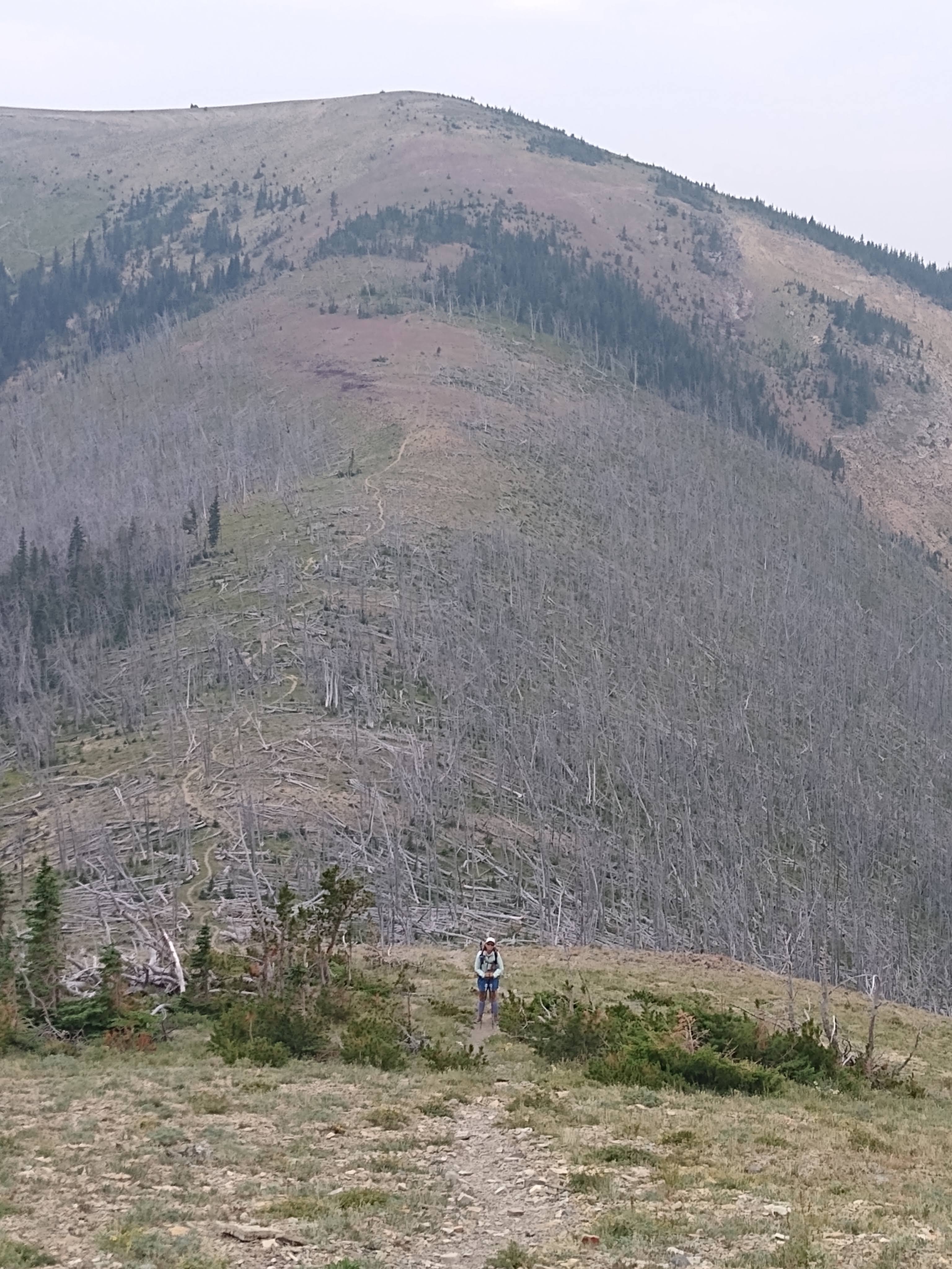
We knew that forward of our campsite lie the skeletal remains of a forest fire some 30 years ago. “Widowmakers” everywhere! We were glad we didn’t have to walk or make camp anywhere near these brittle trees. Oddly enough, while eating our rehydrated dinner, and after the wind had ceased to blow, a tree suddenly collapsed, mid trunk and fell some 50yds from where we were. Tent placement is ever so important in dead fall areas.
July 27: 18.3 mi (242.8-260.5)
Up early…as usual, and a calf deep river crossing. This time we crossed in our Crocs and put on dry socks and shoes. For some reason we had no GPS service on our phones, which meant that our Guthook app did not work. Luckily I had studied the day’s profile and knew we were in for a steady climb for 7miles to approximately 6,800 ft. Not to fear, my Garmin InReach was working just fine, so I Bluetoothed it to my phone and we followed the “red line” via Earthmate, as there were a few trail junctions we did NOT want to miss.
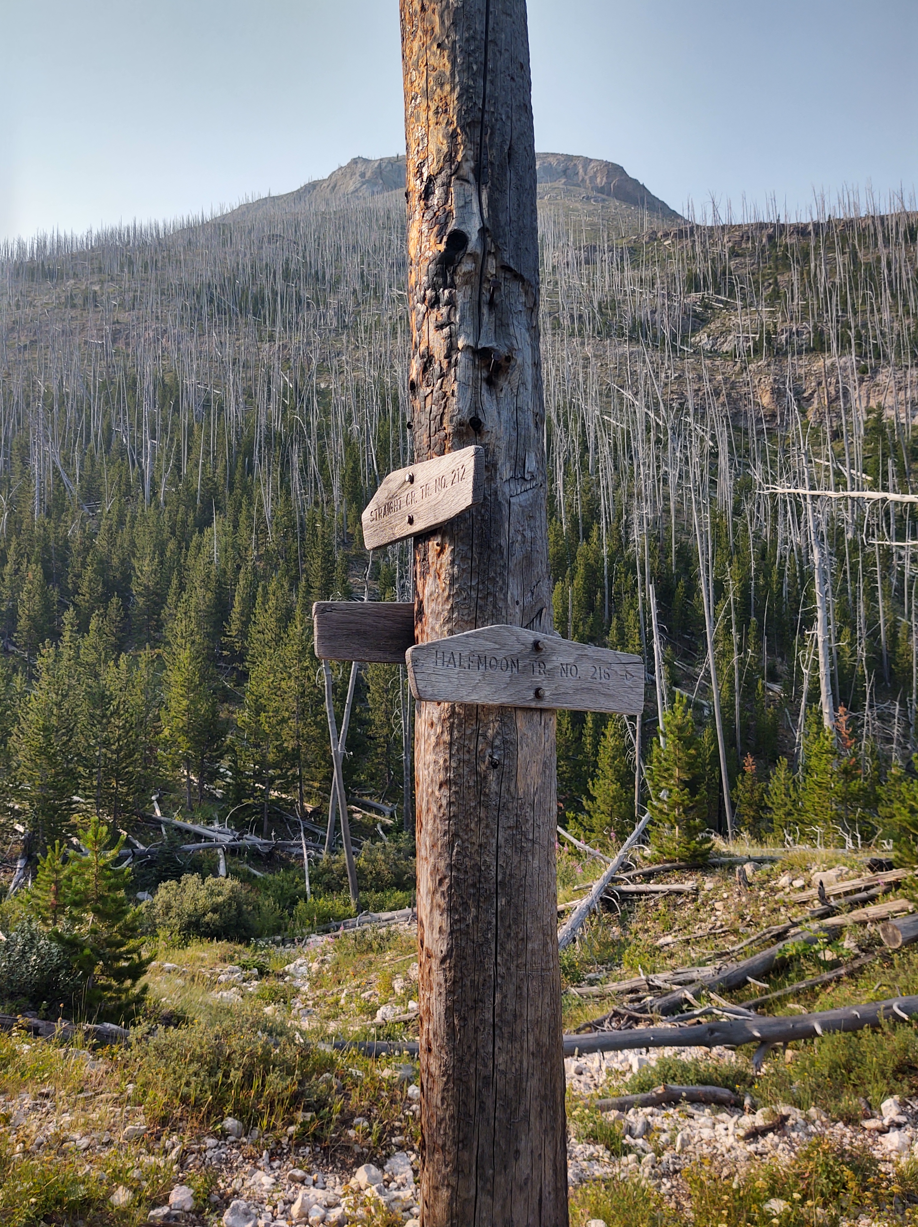
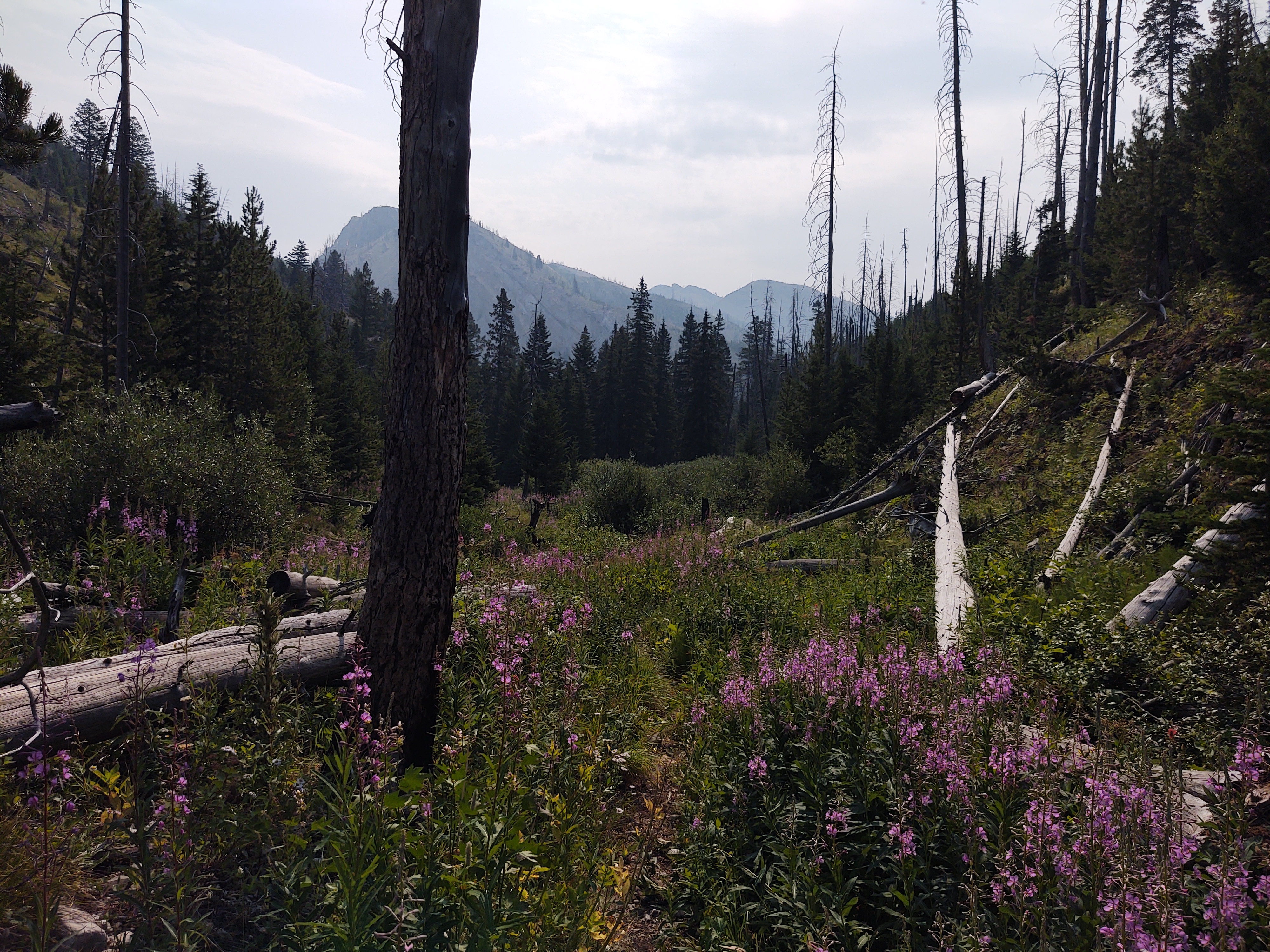

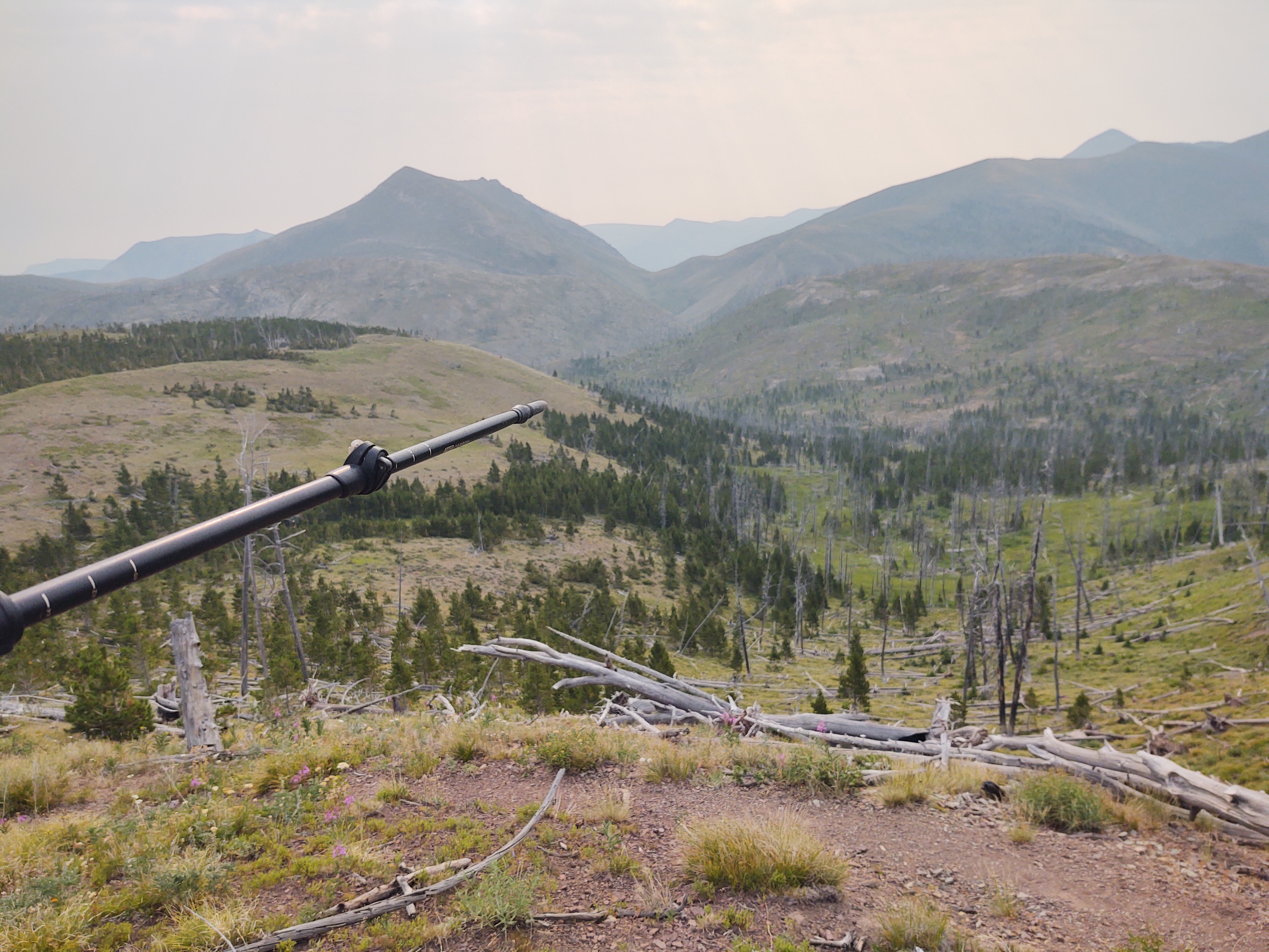
The first 10 miles of the day ran through a stark burn area, that was slowly “recovering”. A good portion of the trail was rocky and tedious. Oh, and did I mention that it was stifling HOT! No cover what so ever! So a heavy water carry was necessary.
Just as we were beginning the final climb, at near 7 miles, one of my shoulder straps decided to break. I knew that my pack was nearing it’s “term”, but had hoped to replace it after completing the CDT.

A quick field fix, that included fashioning a knot to hold the strap to the pack was successful, so we continued on. As long as the other strap doesn’t fail, I may be able to nurse the pack all the way to Mexico.
As hot as the trail was, we were blessed with fairly regular and icy cold streams and springs to quench our thirst and rehydrate appropriately.
By the time we finally reached the Dearborn River, and our intended camp spot, we were trashed. The heat took a lot out of us, and the biting flies were relentless. This however, did not stop or dissuade us from plopping our sweaty hot bodies, fully clothed mind you, in the Dearborn River to cool off. I’m surprised that steam didn’t rise from the river, we were that hot.

Once cooled off, we had to retreat to the confines of our tent till 7pm, in order to escape the ravages of the biting flies before we could prep and eat our dinner.
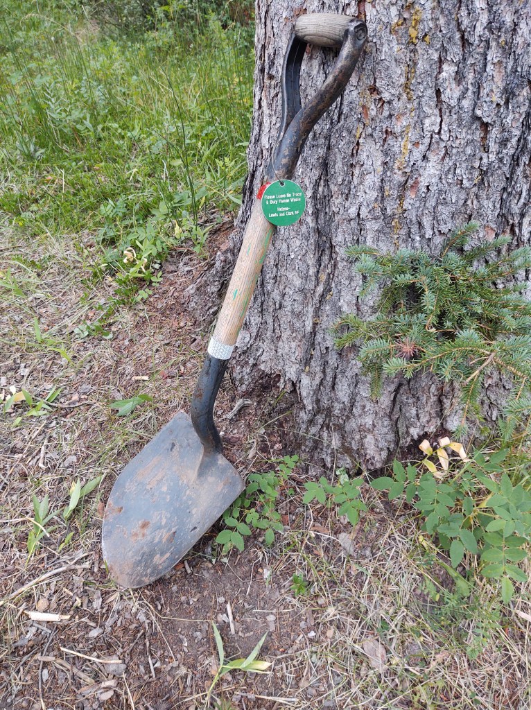
The beauty though, of this camp spot, is that the Forest Service provided a great shovel in which to dig (pre-dig, in this case) the perfect cat hole (personal latrine hole).
We did our best to “camel up” for the evening, as we knew that the next day would include not one, but two massive climbs, with water 10 miles between them.
We finished dinner, just in time for it to start raining on us. I was not looking forward to having to pee.
July 28: 20.3 mi (260.5 – 280.8)
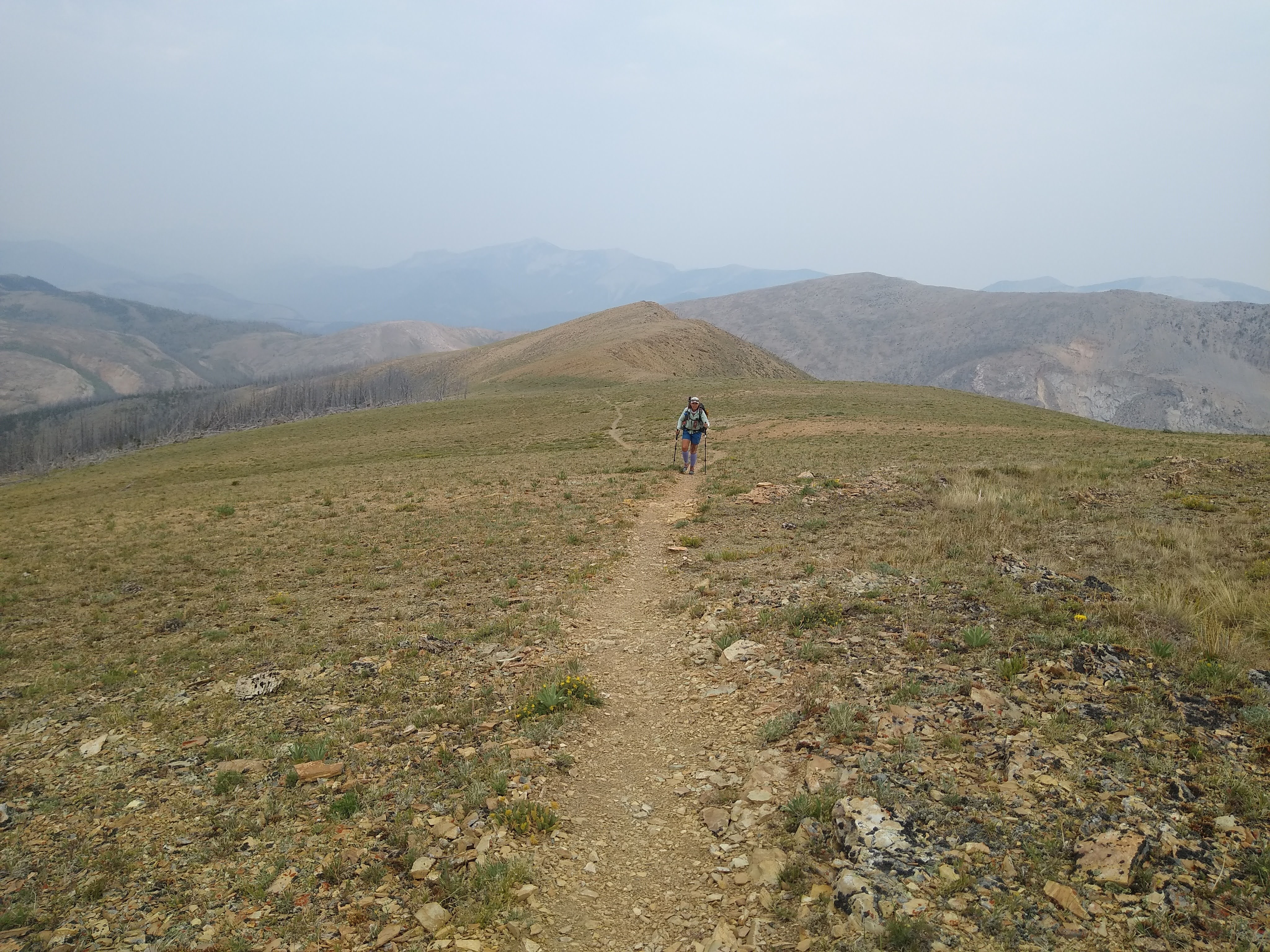
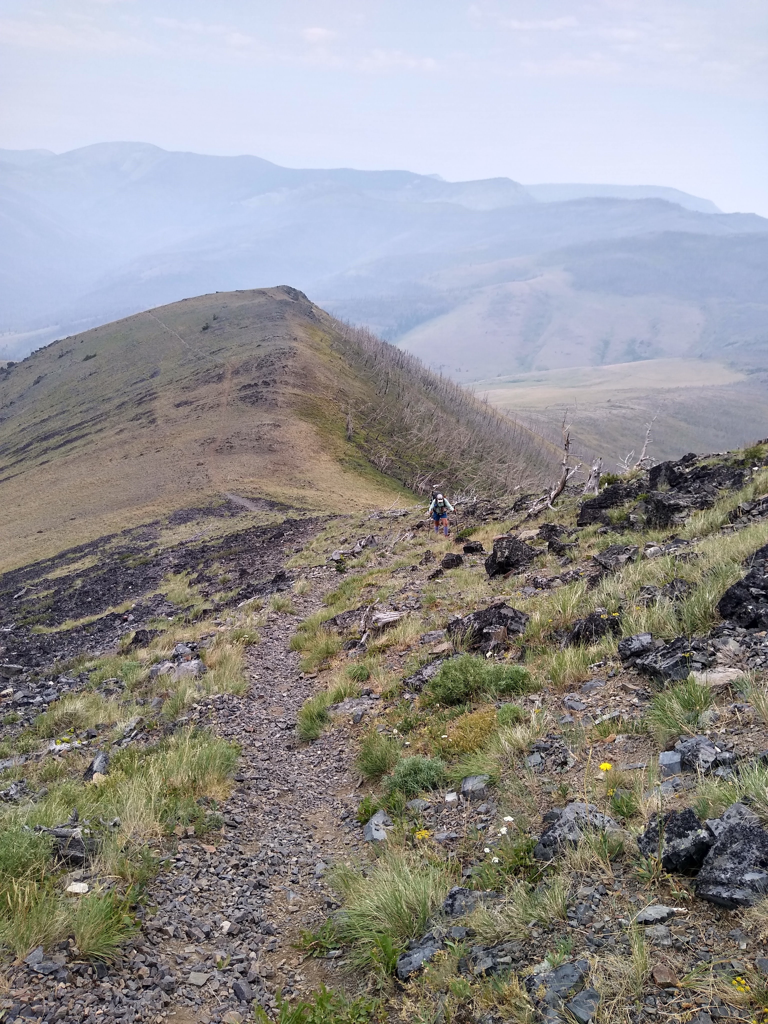
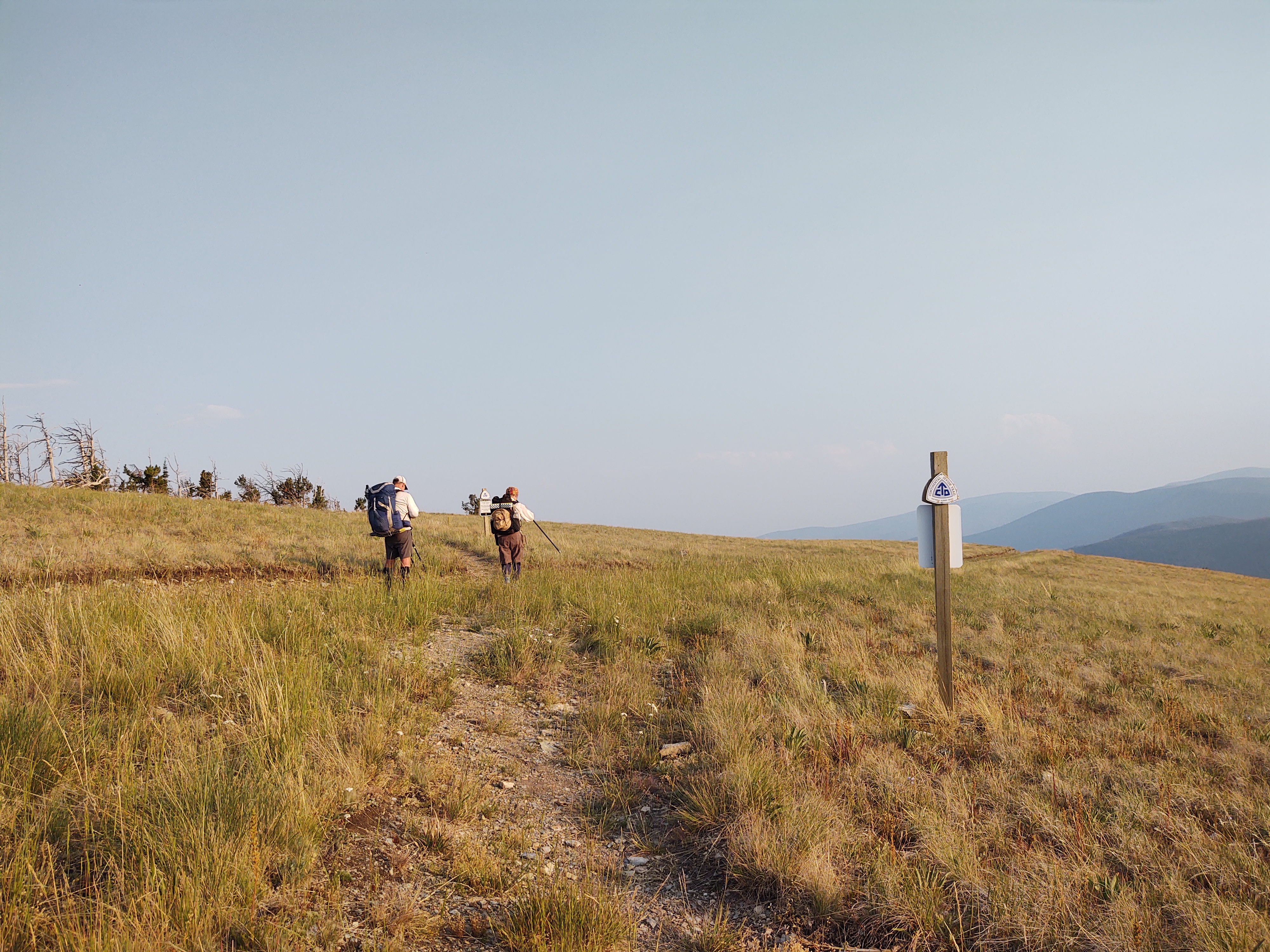
This was a F-ing HARD day! While we are nearly 300 miles in on the CDT, we still haven’t fully developed our hiking legs, or lungs. So, this for us, was brutal. We had a 3000 ft. climb right out of the chute, but not before we walked a half mile on the wrong trail. The fact that it was flat, made us think that something was wrong. Thank goodness, our Guthook app was finally working, and we could “see” our way back to the “red line”.

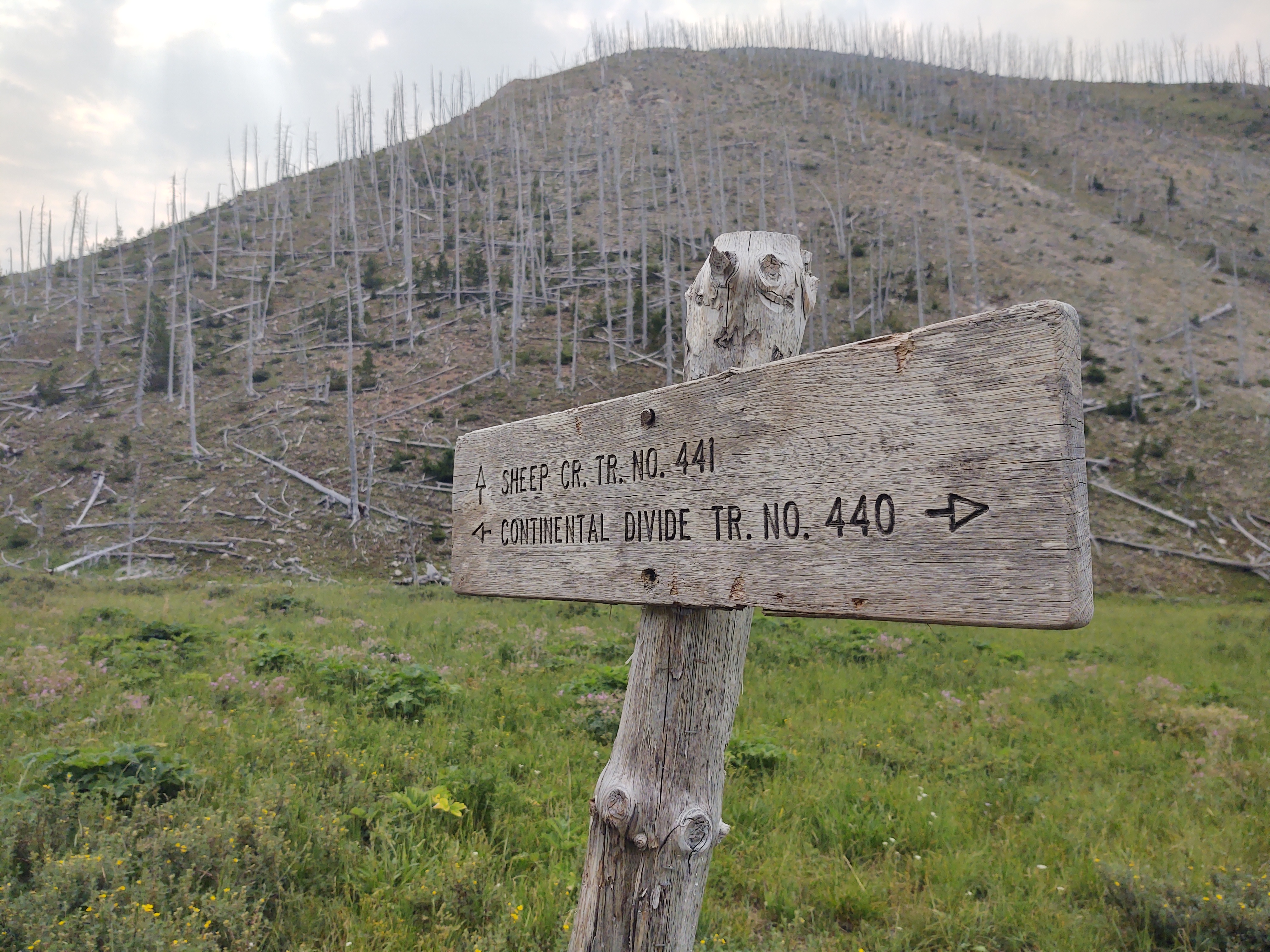
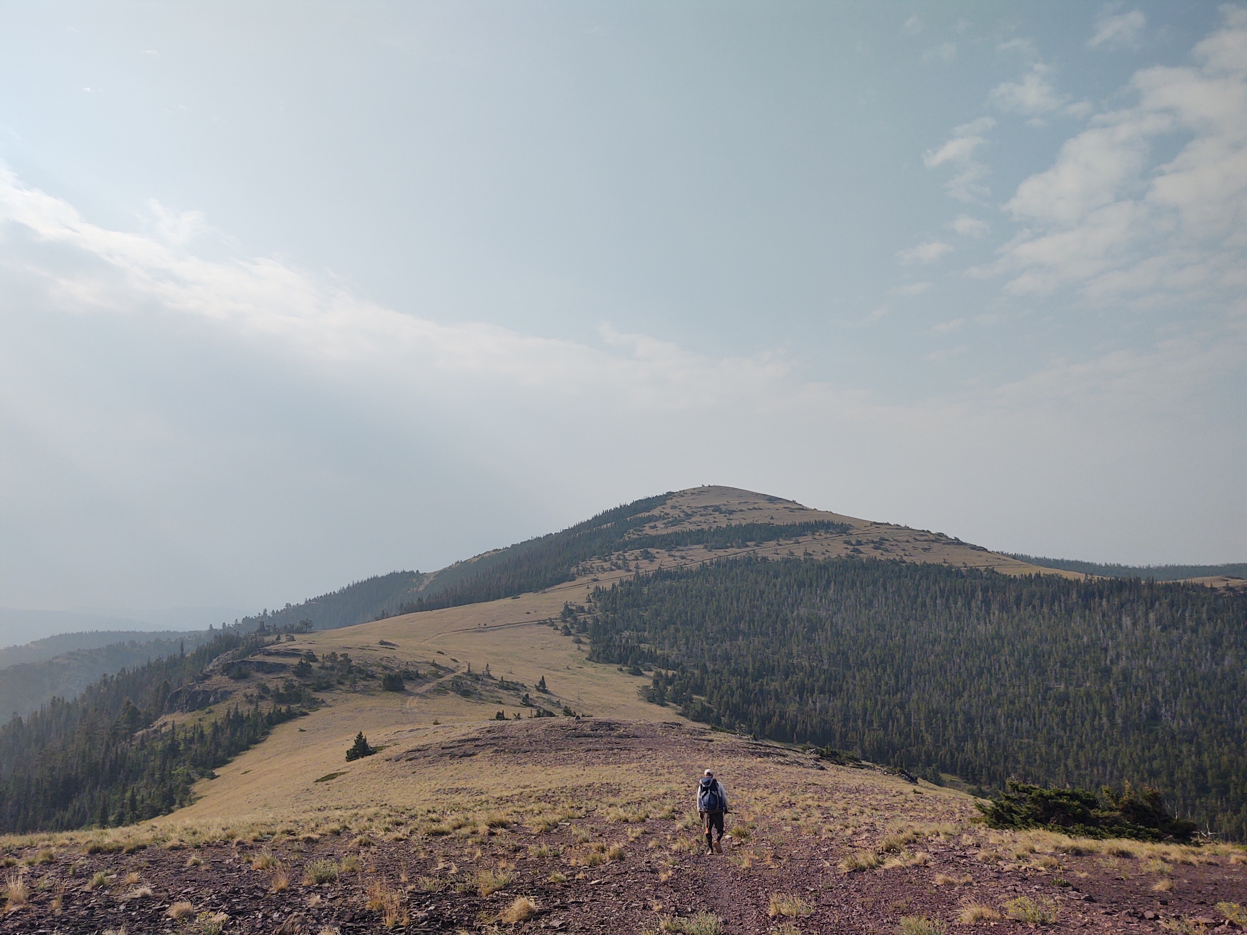
We started way down there
Luckily the day was mostly overcast with a stiff breeze. Our route stair-stepped from one false “summit” to the next.
The climbing was relentless, with mostly vague and/or “non-committal” switchbacks.

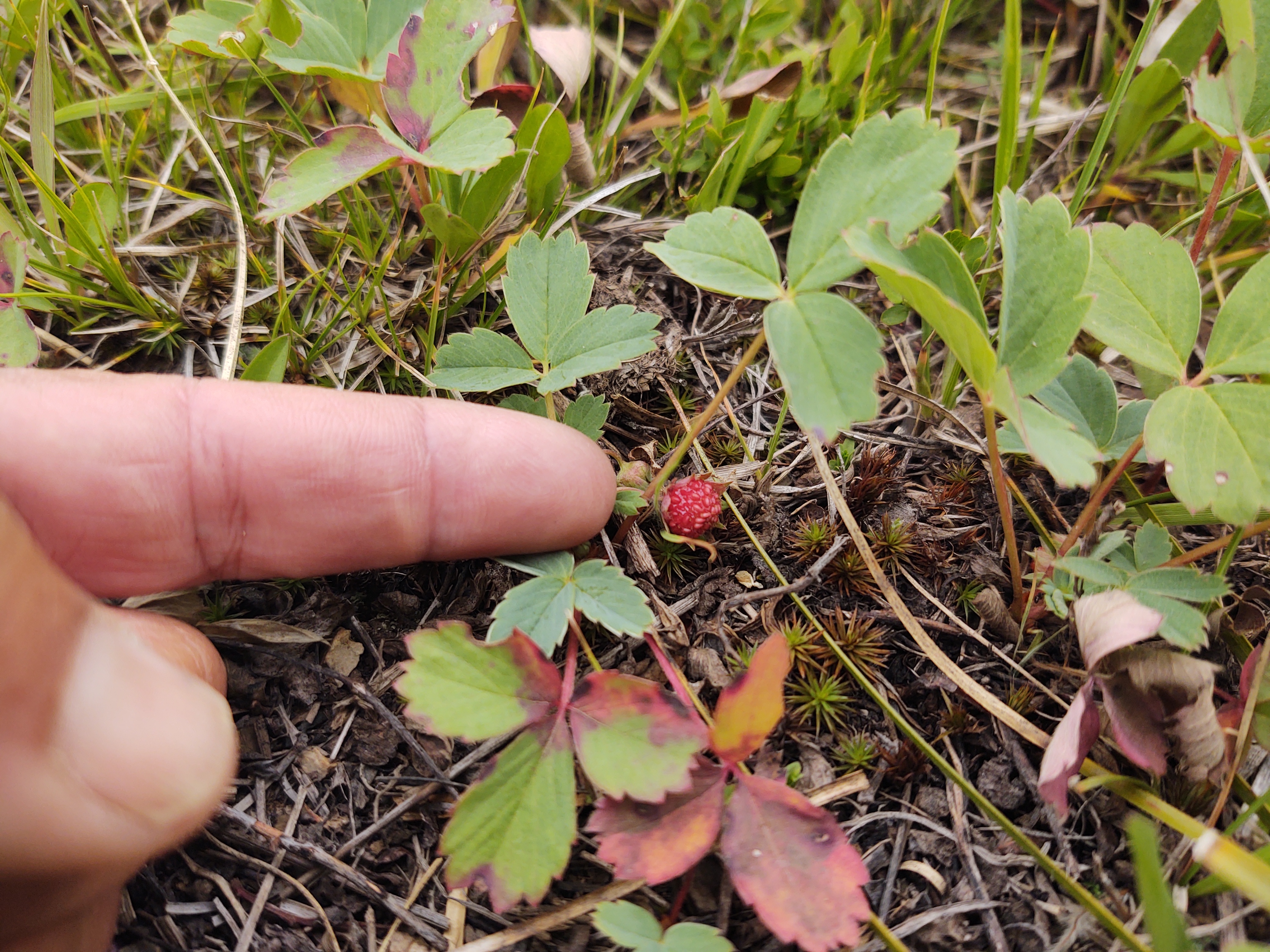
A highlight was finding a field of wild strawberries along the way. Small, but oh so tasty.


At the 10 mile mark, we had to walk 2/10ths of a mile off trail to find a stream to water up.


The next 10 miles and it’s water source was even more challenging.


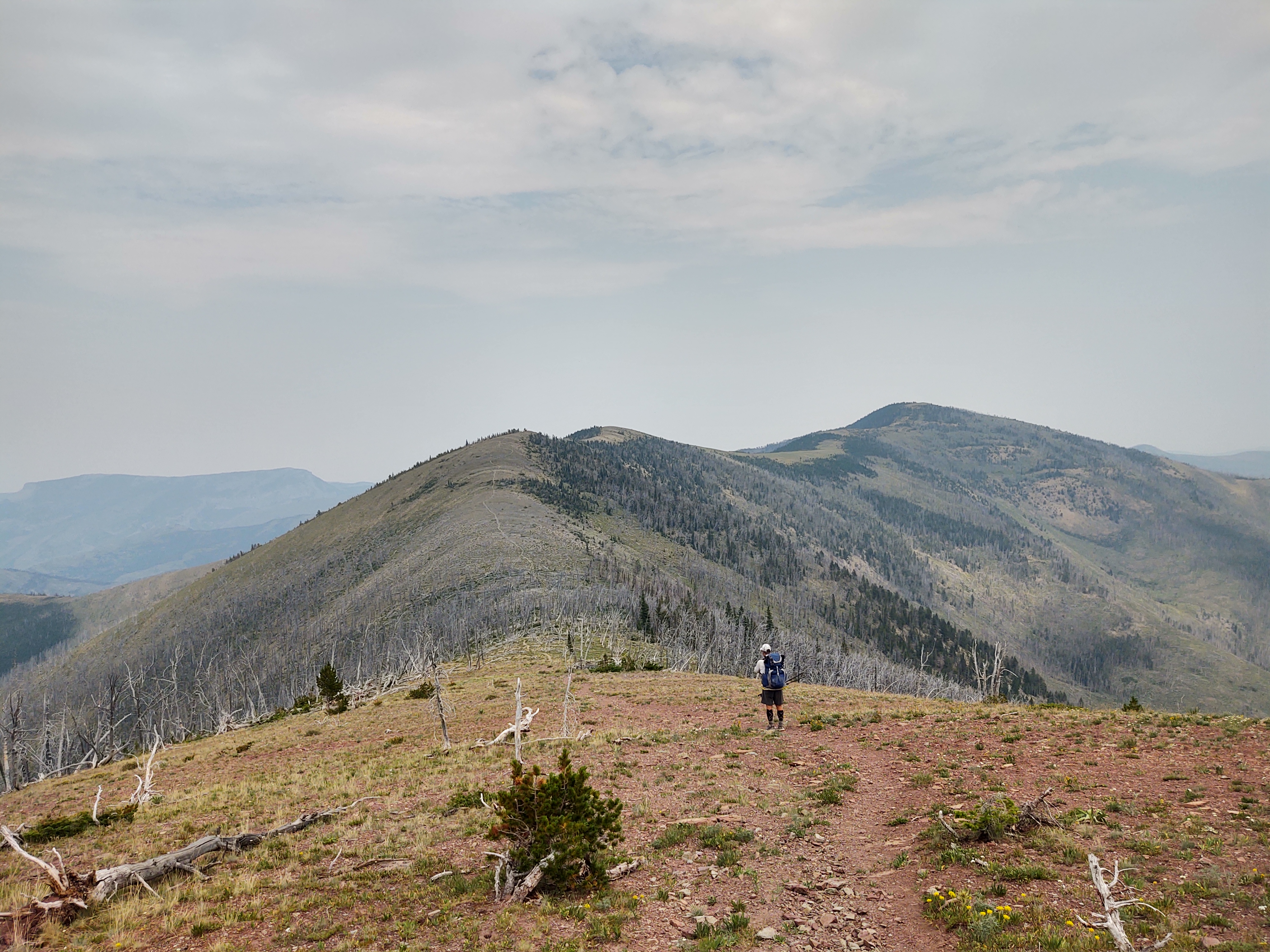
If we (mainly me) were not so tired, the views would have been more “inspiring”. One false summit after another was NOT communicated well on our Guthook app. It tends to average the difference in climbs and descents. No matter. It has to done.

The last half mile, for me, was horrific. Tired legs/feet and uneven rocks makes for painstakingly tedious travel, especially if one is to avoid tripping or rolling an ankle.
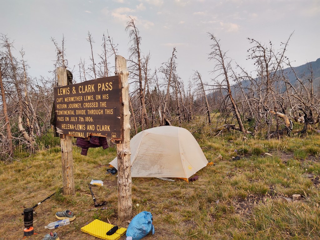
By the time we (I) made it to the Lewis & Clark Pass, it was 8pm. I set up camp, just behind the sign marking the historic spot, while Paul foraged for the reported spring, which he described as “a pain in the ass” to get to, but absolutely necessary. A glowing sunset rounded out our exhausting day.

July 29: 16.6 mi (280.8 – 297.4)
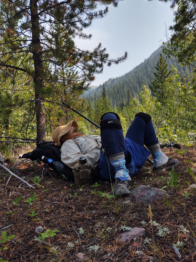
This morning there was no alarm. We needed to “sleep in”. It was hard to get up and going, we were so worked from the previous day’s miles/terrain.
We knew that today would be no different. This day would include Rogers Pass, and another 5-6 liter water carry. But first we had to get to Rogers Pass.

Under slightly overcast skies we trudged our way up, then down, then back up and down to the Pass.

When we arrived at the Pass parking lot, we were treated to some impromptu “trail magic” (a soda and Reese’s cup) from Morgan who was giving “van support” to her husband and his friend who were section hiking/finishing the CDT.

We had 2 miles to climb over proper switchbacks to collect our 5-6 liters of water, for a probable 25 mile waterless stretch.

By now, the sky was devoid of clouds, and the terrain was equally devoid of cover. When the second shoulder strap to my pack broke, just short of our intended mileage, we called it a day at mile 297.4.

Tonight we would be “dry-camping”. We ate most of our remaining snacks, and drank just enough water to be semi-hydrated. I reattached what was left of the second shoulder strap to my pack, and hoped both would hold till we reached Dave’s outfitters store some 20 miles away.

July 30: 22.9 mi (297.4 – 320.3)
So glad we stopped where we did, even though we didn’t really have a choice. There was no way either of us would have been able to make the final climb to our intended campsite (even Paul was worked). Besides, the site was NOT as good as the site we had camped at.
Our mornings intent was to get to Flesher Pass (6miles), and hopefully “yogi” some water, if anyone was parked there. No such luck at the Pass, but when walked into the Forest Service campground to use it’s restroom and take a break for breakfast, we were greeted with TOTAL TRAIL MAGIC! Turns out that “Golden”, was parked there with his van, waiting out the heat, before he got back on trail to finish the CDT, and his Triple Crown.

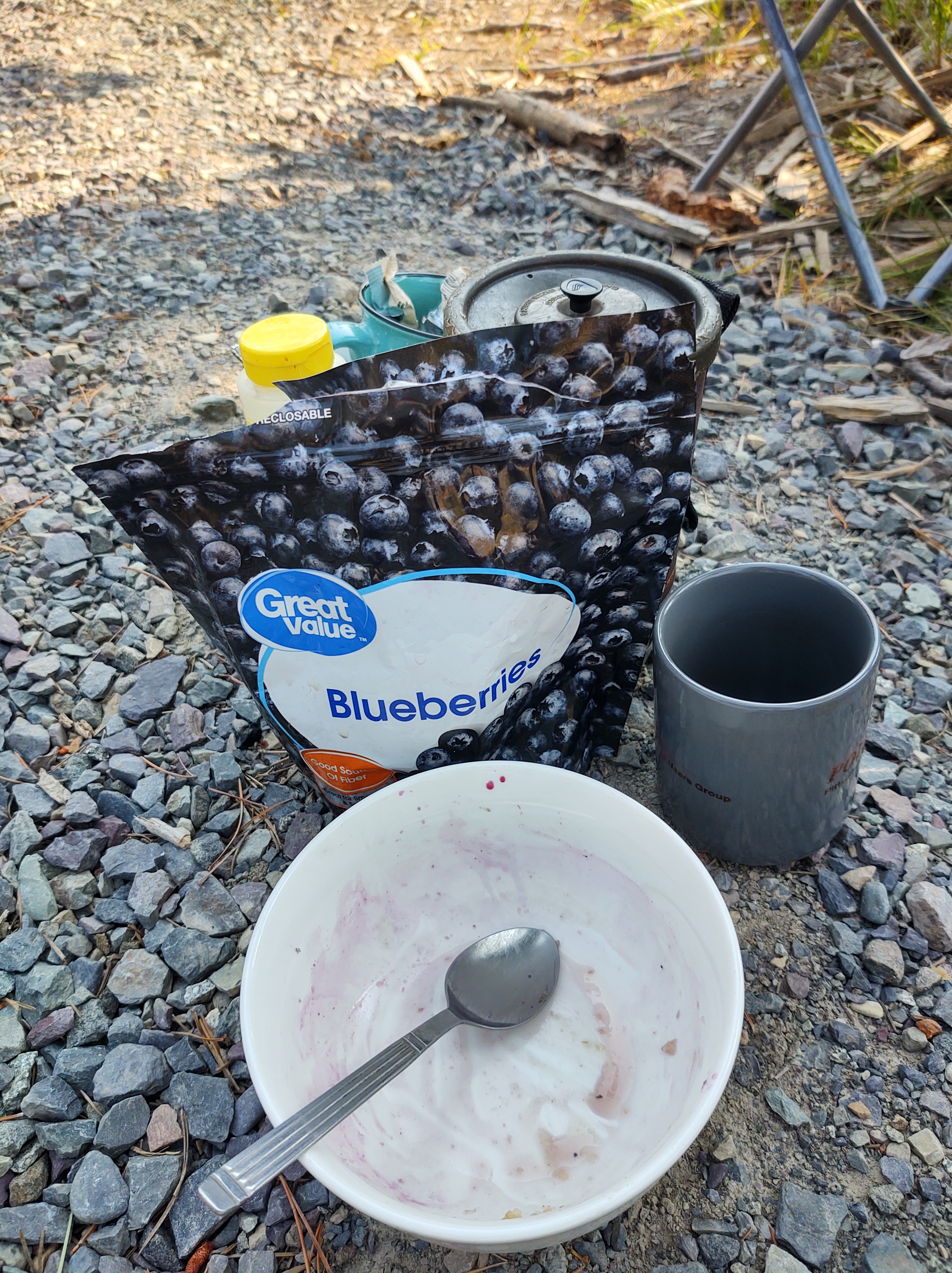
He cooked us oatmeal. Not the prepackaged kind, but actual pot cooked oatmeal! He offered us berries and honey to add to the oatmeal, as well as fresh, french-press coffee, and a couple beers…all before 9am! A perfect hiker trash morning if there ever was one.
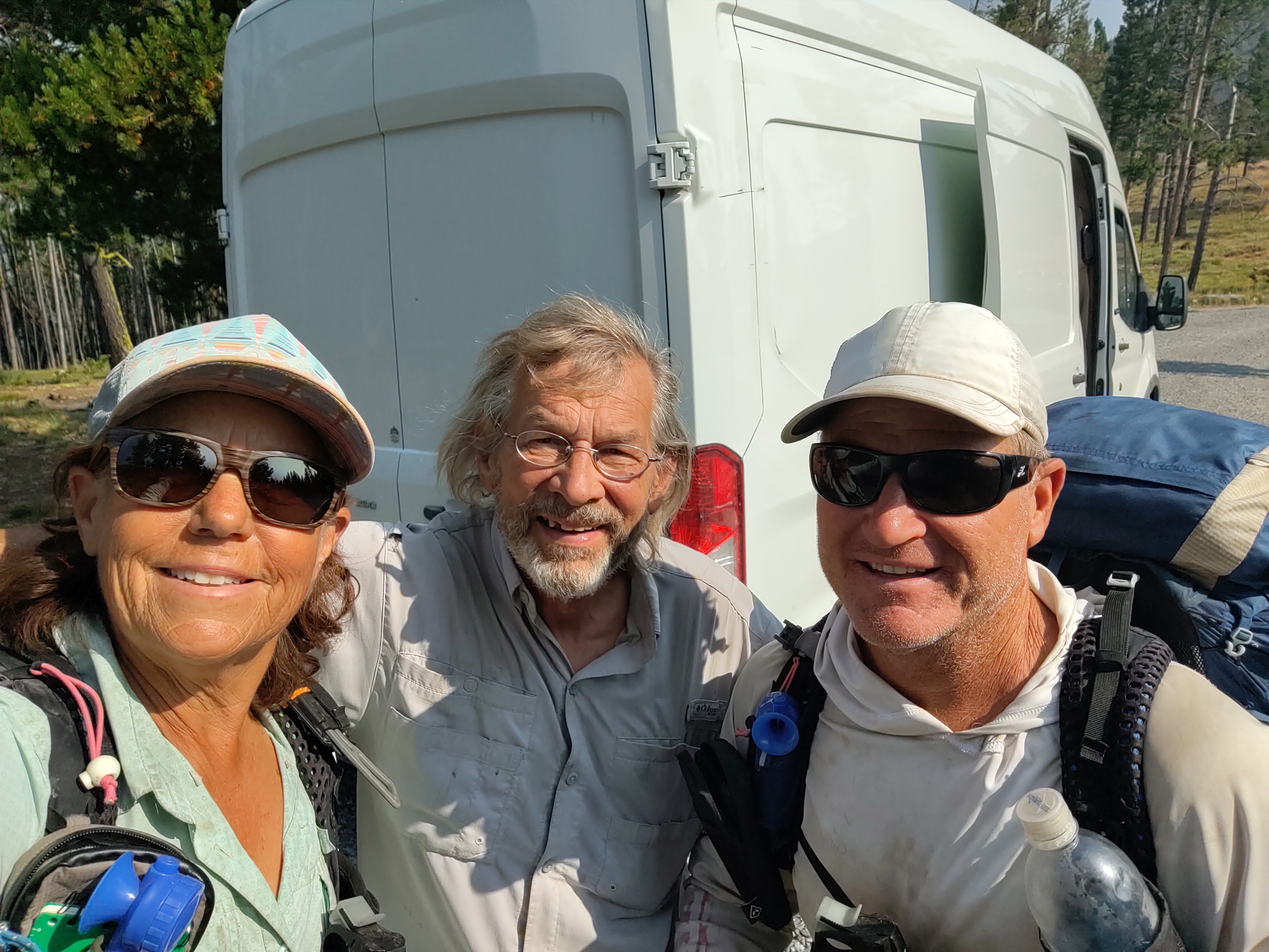
And as if it couldn’t get any better, who should appear, just as we were fully satiated, and preparing to head out back on the trail (after a hour and a half of food and trail talk), but Hobbit! There was no mistaking the jingle of his bear bell, or his stature. We thought we probably would not see him again. From Dearborne River his intent was to skedaddle 28 miles to Rogers Pass and hitch into Lincoln for a zero day to resupply, eat town food, and sleep in a bed. Somehow he did a one day turn around and got dropped off (unintentionally) at Flesher Pass.
Reunited, we set off at a good clip to the next watering (mud) hole. Fairly easy tread with mild temperatures allowed us to make it to Dave’s on trail outfitter store for water and resupply, upon discovering the spring was in fact, a mud hole.
While at Dave’s, who’s located by Stemple Pass (mile 302.5/SOBO), we were treated to a drink (soda or Gatorade) on the house, and a store so well stocked, that it could rival any REI, save for the floor space. Here we bought our resupply that would get us to Helena Montana, and a much needed zero. I also was able to buy a new Osprey Exos58 pack to replace my “fractured” one. Dave even mailed said tired pack back to my home so that when I get back I can “cash in” on Osprey’s magnificent Lifetime guarantee. I didn’t have a week or more to wait to change out said pack through Osprey.
Because of the heat, and our once again, necessary heavy water carry, we ate dinner outside of Dave’s, and hiked out at 6:30 pm for another 4 miles, carrying 4 liters of water each.
July 31: 21.5 mi (320.3 – 341.8)

Black Mountain would be our nemesis for the day. Switchbacks were practically non-existent. Climb. Climb. Climb. Granted it was beautiful terrain, so it didn’t hurt “that bad”, but it was daunting. Our goal was a fresh piped spring…into a cow trough some 14 miles away.
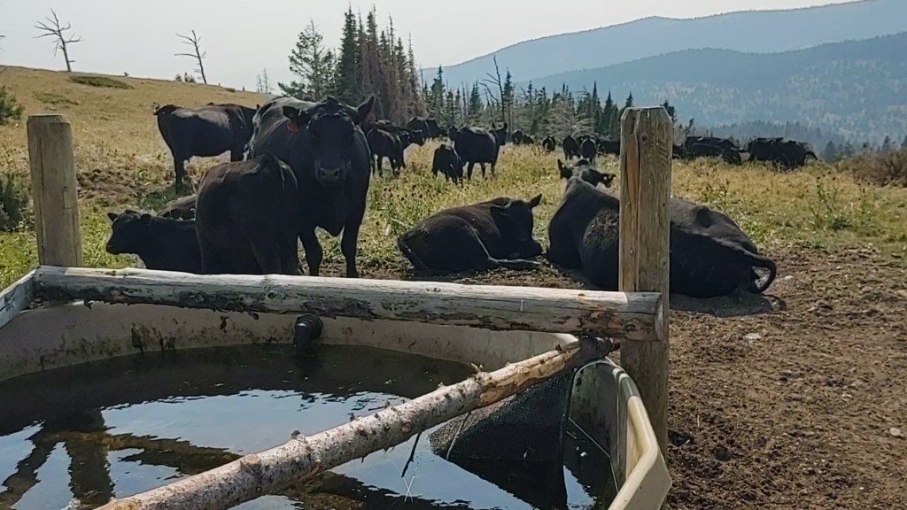
When we arrived, Paul quickly shooed the disgruntled cows away. It was our trough now! Ice cream headache cold water spewed from the pipe into the algae crusted trough. It was cold enough that I made myself, two peanut butter/chocolate protein shakes. Absolutely glorious. Shortly after we arrived, an ATV pulled up to collect water as well. They explained that they were hiking the CDT with another couple and were supporting each other through sections as they essentially “hop-scotched” each other Northbound. Because they were mobile, they offered to leave us water at the “power poles”, 7 miles away, so we didn’t have to carry so much water. We gladly accepted their offer. And, because we didn’t have to carry so much water, we decided to march out that 7 miles, while the temperature was cooling.
We expected that they would meet us early that next morning. Yeah! I get to “sleep in”.
We arrived at the power poles (mile 341.8…ish) and set up camp. With 2 bars of cell service, I texted Jennifer and let her know that we made it to the power poles. She replied that Kathie and Jim were on their way with water. Special delivery, now that was awesome!
Just after we set up, we saw a truck driving the nearby dirt roads. We joked to each other, ‘there goes the beer truck’. And wouldn’t ya know it, that truck drove right up the hill upon which we we camped, asked us if we were CDT hikers, and offered us a beer!
Our newly knighted trail angels, Brian and Krista from Marysville gave us more than one beer, and explained that the ground under which we were camped and had walked, were miles of tunnels. Gold mining tunnels. Brian explained that gold had been discovered just across from where we were camped. Thomas J. Cruse, who had discovered it became so rich that in 1905, he donated $25,000 for the land upon which the Catholic Cathedral of St. Helena (in Helena) was built. He described the Cathedral, completed and dedicated in 1914, as being amazing and ornate, built in a European Gothic style. (We voted to visit it, if time allowed us, during our Helena zero.)
While Brian and Krista were providing us an area history lesson, Hobbit, who is NOT a drinker, finished his second beer, and took a White Claw (that he thought was a soda) for breakfast the next morning. We tried to explain, but he was sooo happy.
Shortly after Brian and Krista left, Hobbit crawled into his tent, sans dinner. “Best day Ever!”, we heard him exclaim from his tent.
August 1: 16.3 mi (341.8 – Helena)

We awoke to a remarkable sunrise silhouetting a bachelor group of giant mule deer bucks. We also watched as Hobbit unwittingly drank a White Claw for breakfast, and thought, this morning keeps getting better. While we would have been feeling no pain after an adult beverage for breakfast, Hobbit on the other hand felt quite dizzy. He toddled behind us for most of the morning, on the mostly road walk trail tread. Mostly to avoid PUDs and to ensure Hobbit wouldn’t puke we found alternate roads to walk our way towards Helena.

We traveled along and sometimes over beautiful rolling hills. We were never at a loss for water. Springs abounded nearly everywhere, in this cattle country.
We took a gamble and rather than climb Green Mountain, we took another dirt road, that led to the I-15 that goes into Helena.

Our gamble paid off, with us getting a ride into town, with locals who were out hunting for huckleberries. Turns out that the gal’s (sorry I forgot to write down your name) best friend from the Navy, was from San Clemente, and she knew the town well. Small world!

They graciously dropped us off at the Blackfoot Brewery, where we drank, ate pizza from next door, and were merry. Hobbit, settled for a Coke.

So many things to say about this section but I’ll just focus on the pack. Unbelievable that both straps broke nearly in unison. I’m sure osprey will be impressed. Hard to believe in the middle of nowhere you were able to find a store stocked with just what you needed. So much trail magic!
You certainly continue building trail stories and memories, and reiteration that much of the CDT doesn’t match my WOW per mile criteria.
Yes the CDT is per their occasional braggadocios signs…”primitive and challenging”. Can’t wait to get to where the Colorado trail and CDT intersect.
It’s going to be the most awesome reward!