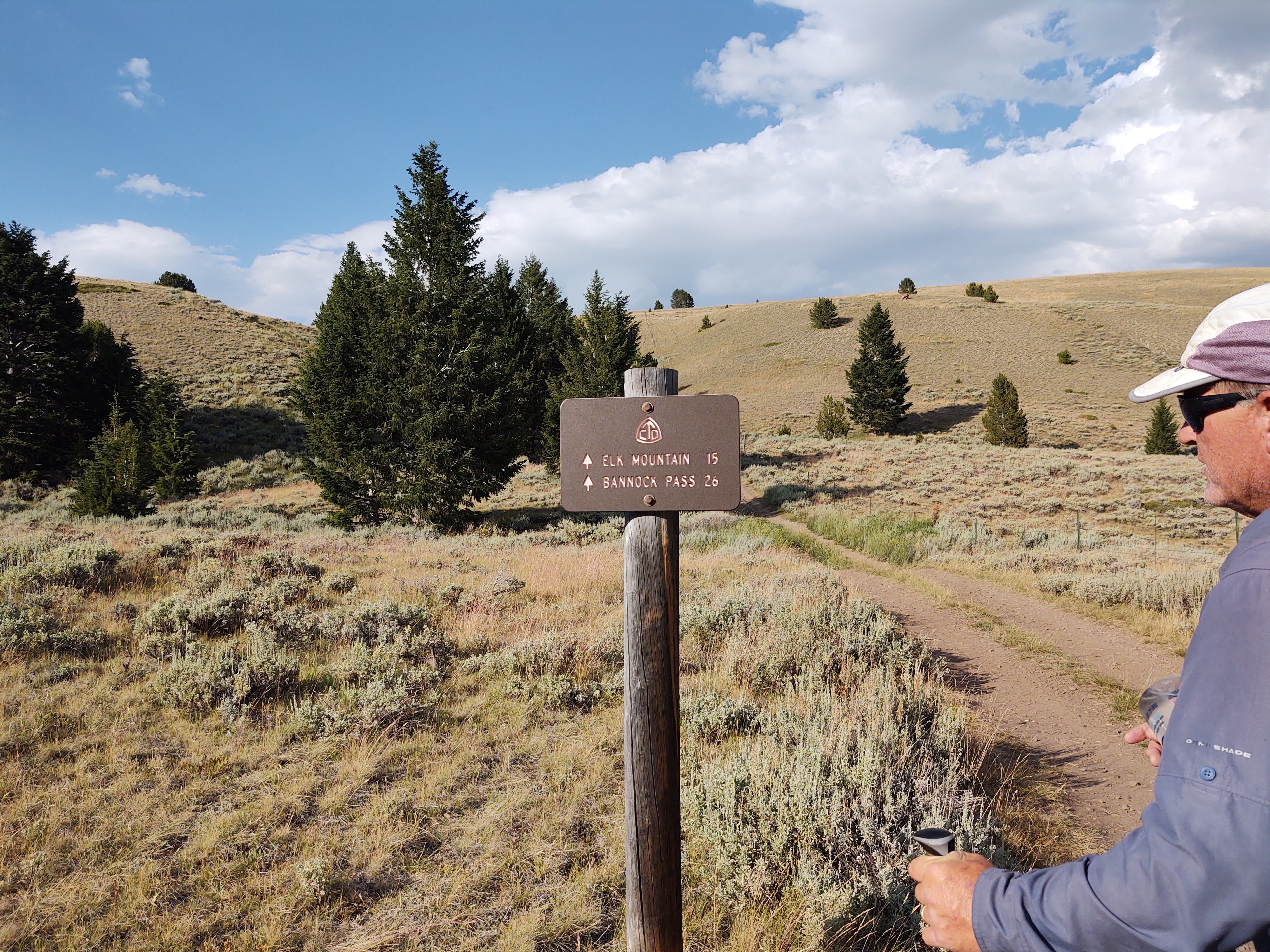
8/3: 15.4 miles (2195.1 – 2210.5)
Last night we were serenaded by bugling elk and the crunching of hoof/footsteps near where we slept. In the morning, we awoke to rain pounding against our tent’s fly. Either way, we had two days of walking till Leadore, so it didn’t matter whether we got started a bit late or not. Once the rain abated, we packed up and began the day’s jaunt. Often times without a topo map it is difficult to assess the terrain the CDT will traverse, and more importantly, the route’s “logic”.

To best prepare our minds for the day, we gaze upon the horizon and look for the most challenging and ridiculous climb or route that we would most NOT want to do. We then resign ourselves to the fact that the route we would least favor is most likely the route we will be taking. Such is the CDT and its “brutality”. Even so, today did NOT suck!
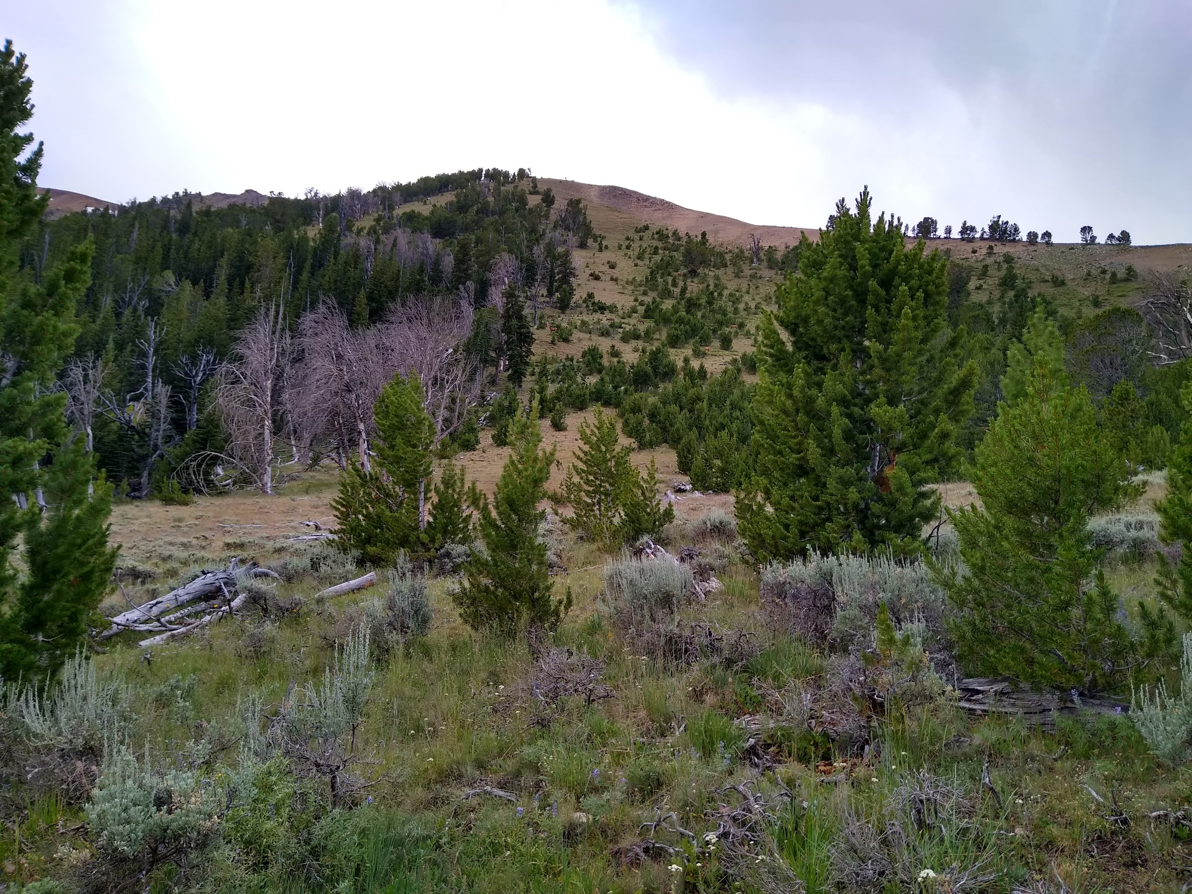
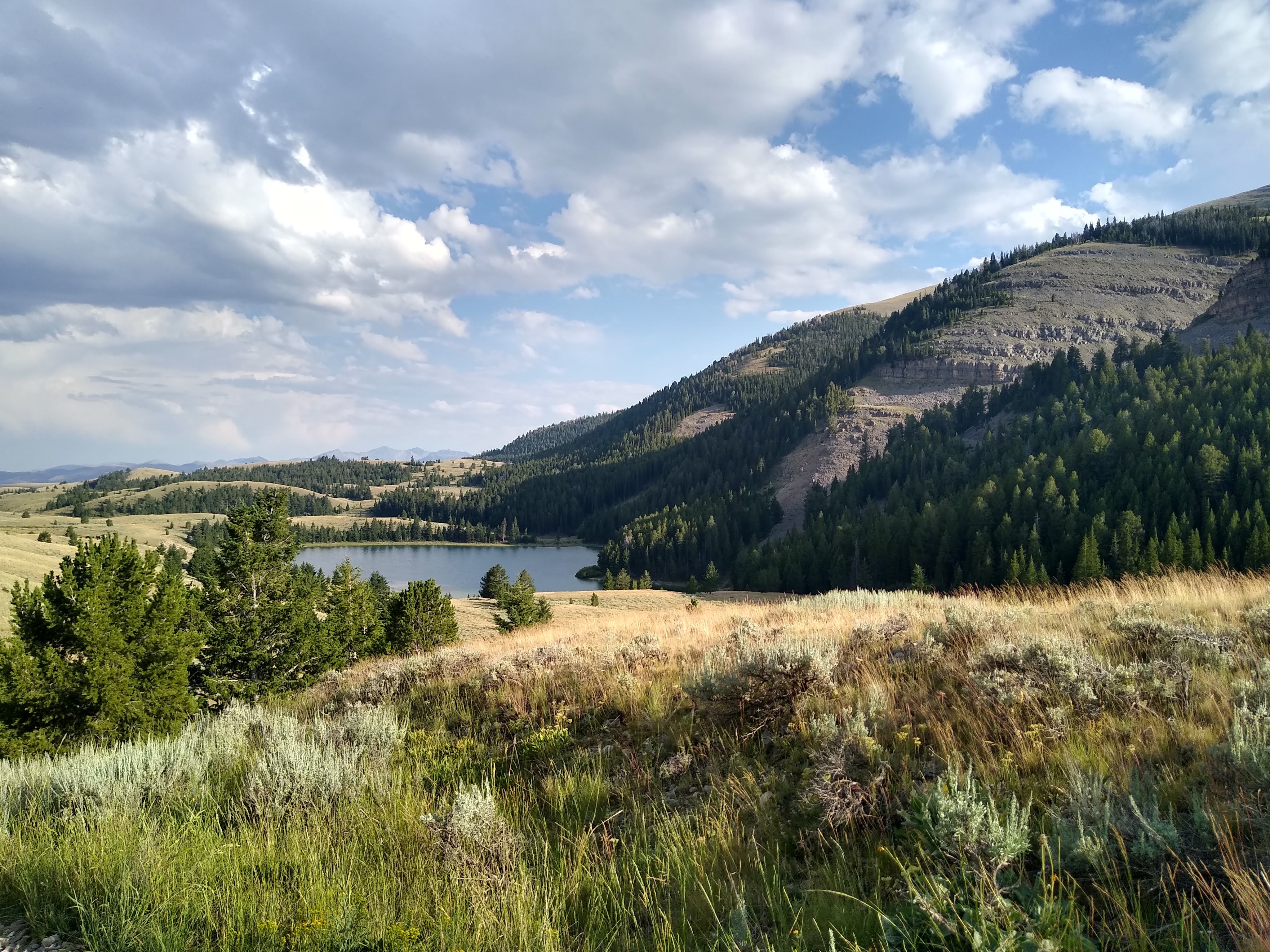
With the exception of the Winds and the Green River Lake valley, this day’s stretch has to be one of our most memorable. The morning’s drizzle kept the trail “soft” and the air clear and crisp. The forested area we trod, before our great climb to a wonderland of views and weather, screamed of elk and bear. Bearish claw marks in trees, elk rubs and fresh poop everywhere kept our senses on high alert.
As we continued, we were richly rewarded when we caught an eyeful of elk moving across the face of a hill we were to climb.

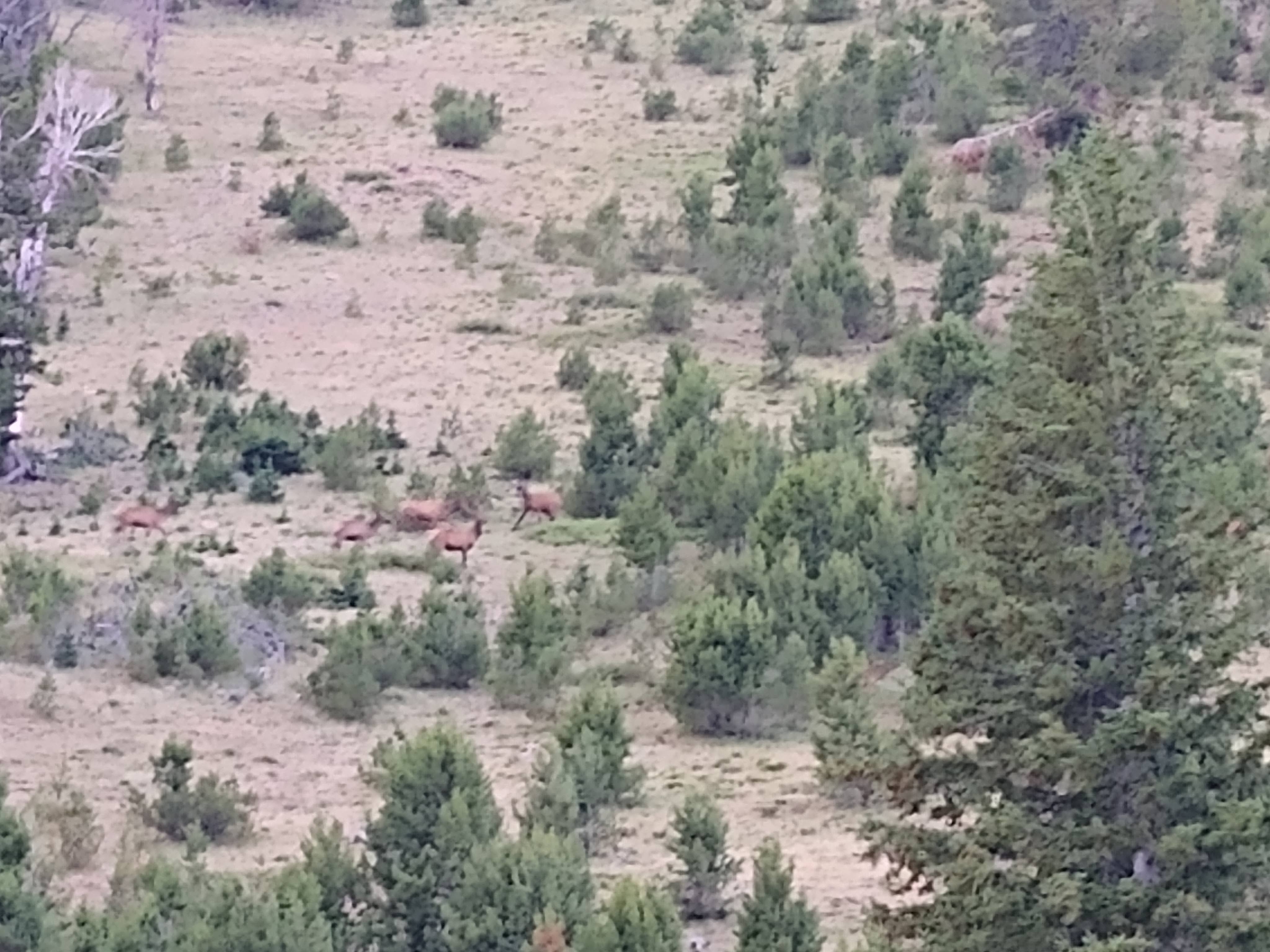

We watched, counting the bull elk and marveling at the size of the cow elk as they moved with ease across the steep and rocky terrain.

Once atop the saddle we were blasted with a cold and fierce wind that threatened our footing and made our eyes water.


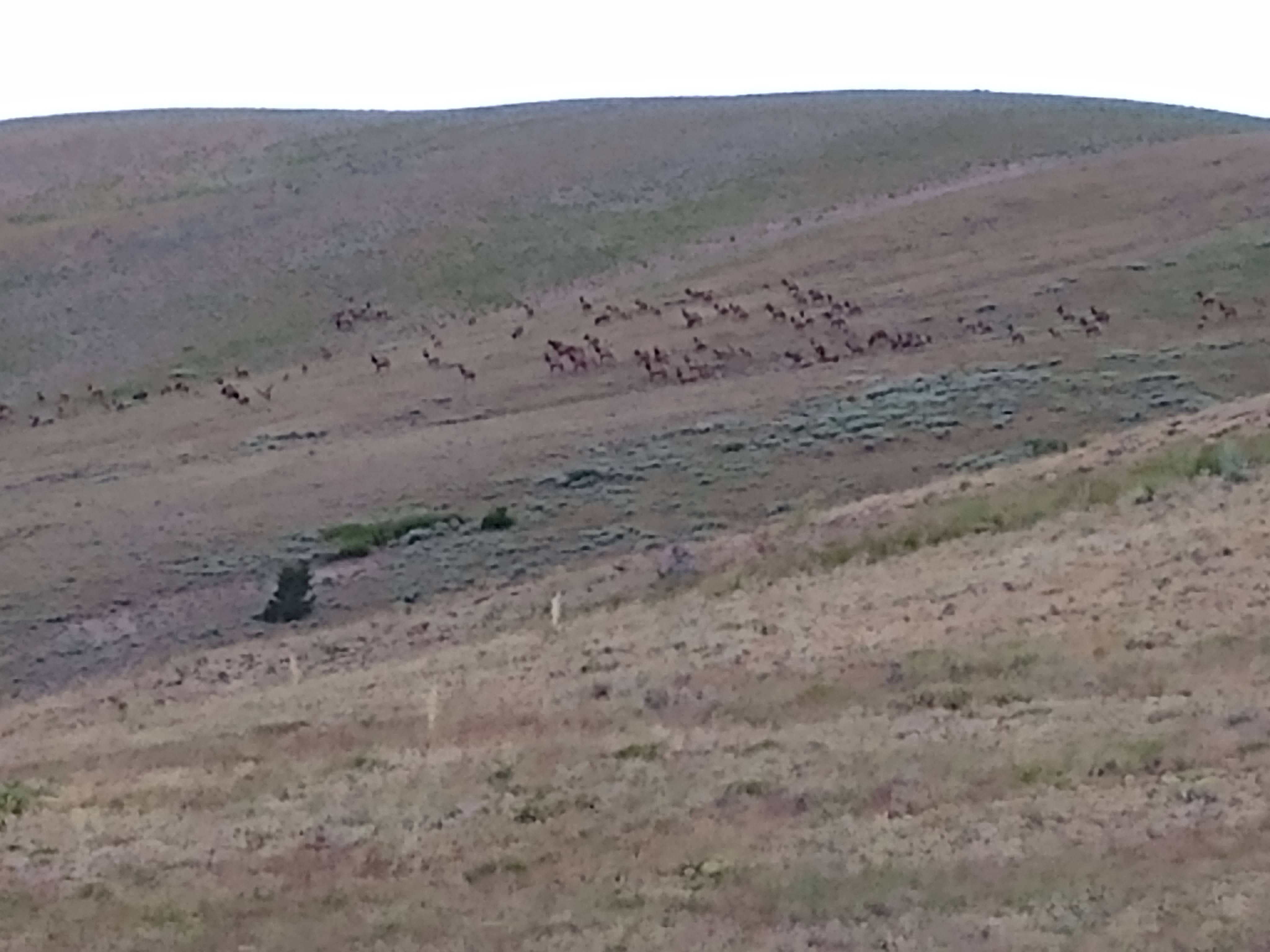
It was here that we witnessed the enormity of the herd of elk. The elk practically filled the hillside as they swiftly moved across, and then up and over another ridgeline, reaching upwards of 10,000 ft.

As we walked the spine of the 9,600 -9,800 ft high ridgeline, we spied a herd of pronghorn nestled in the fold of the descending hillside, sheltered from the wind. Even with the wind briskly in our face, the pronghorn spied us from a distance, as we continued in their direction. Then, as a tightly knit unit, they stood up and quickly made their way up and over the ridge and out of sight.
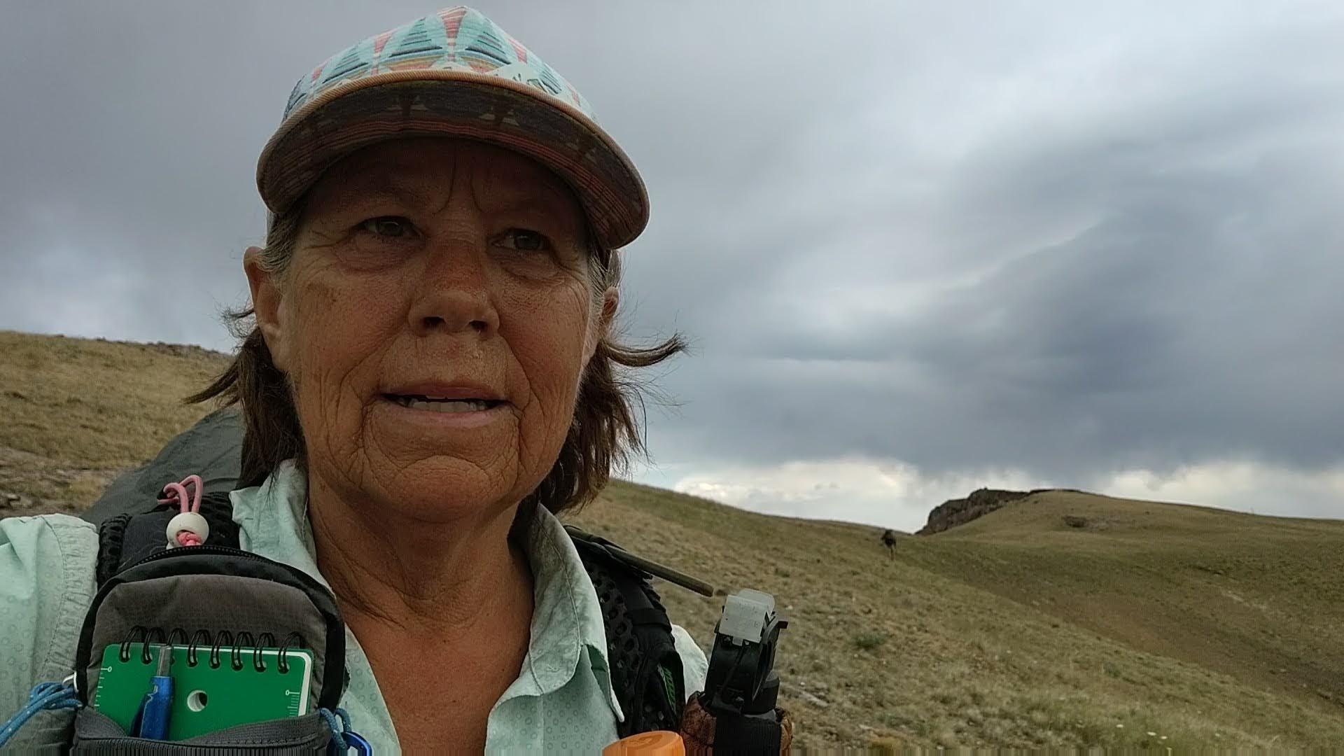


As best we could tell, we were on the top of the world. The wind was relentless and several times nearly knocked us off our feet. The dark skies above us added a wrinkle of hesitancy, and urgency, at the same time. Do we wait for the storm to pass, or “charge it” and hope for the best? “Charge it”, was the option. But first, rain gear. This time if we got caught in the rain and wind, we would NOT freeze. Of course at the moment we reached the highest elevation, devoid of any vegetation above 6 inches, the storm hit. It didn’t even bother to rain. It just hailed. Sideways! We couldn’t help but laugh at our luck, and resigned ourselves to our “fate”. If one of us got struck by lightning, at least it was ridiculously beautiful, and we had cell coverage. Atop the ridgeline, from carin to carin we scampered without incident. Cold and wet, but not fried.

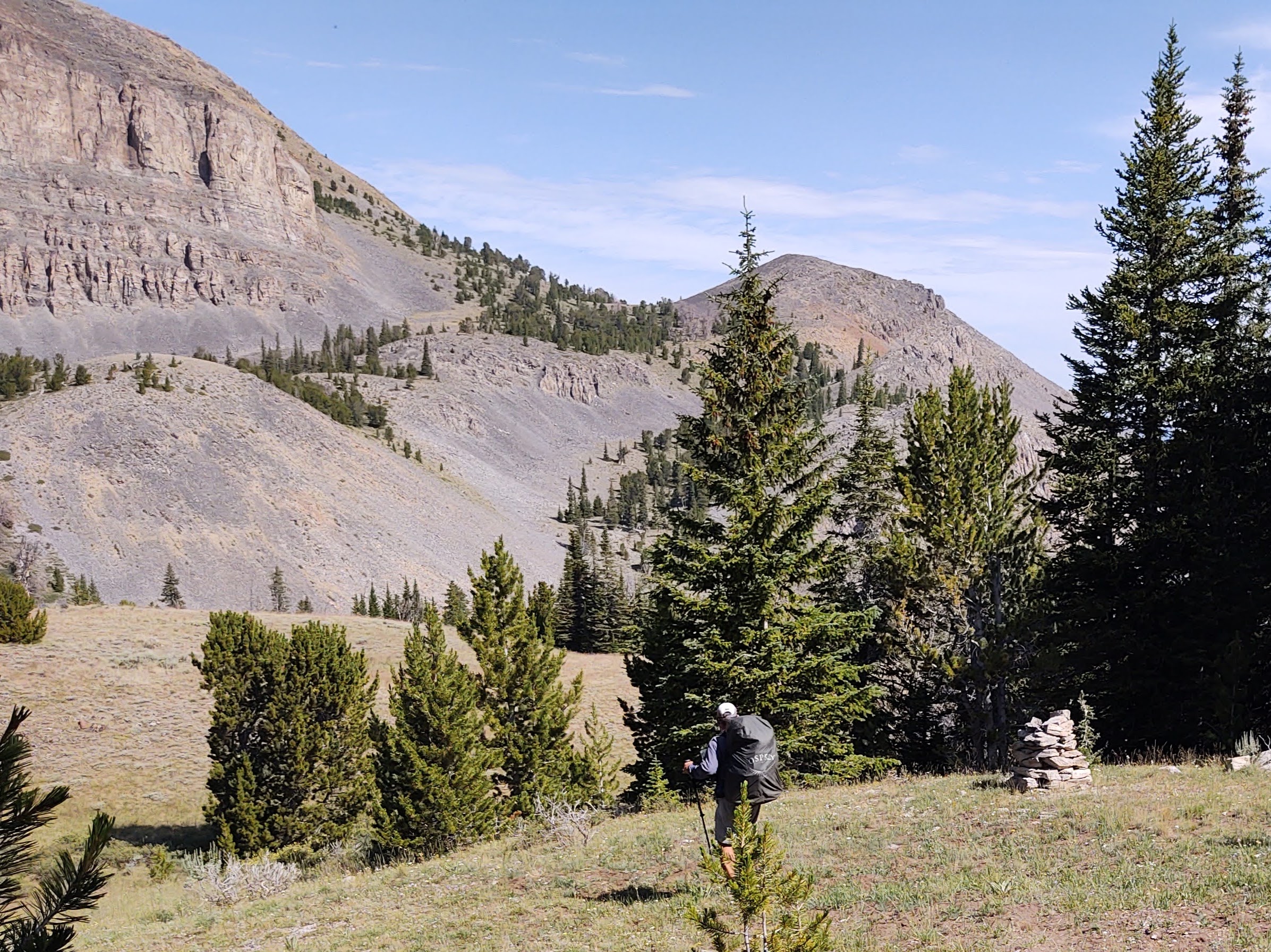

With the sun out, and after covering a wide expanse of terrain, we then descended through rocky talas and into a wooded area, where we met an ATV trail that led us to water.


Beside two icy cold creeks that converge into one, called Tex Creek, we ate our lunch and soaked our dusty tattered feet.

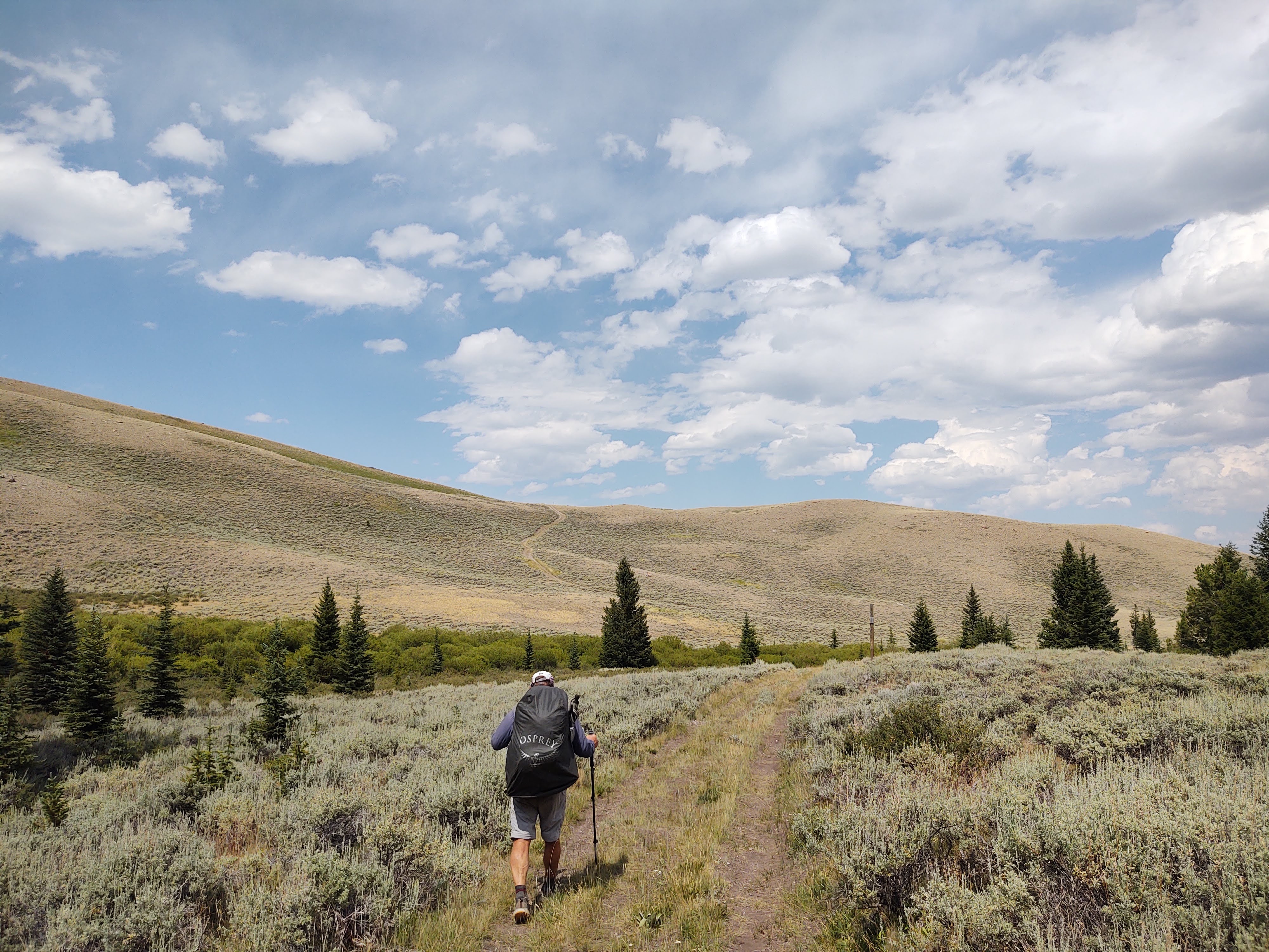
The remainder of the day was spent following ATV/Jeep trails over rolling hills, and beside a growing number of cattle. Our route crisscrossed the Idaho/Montana border.

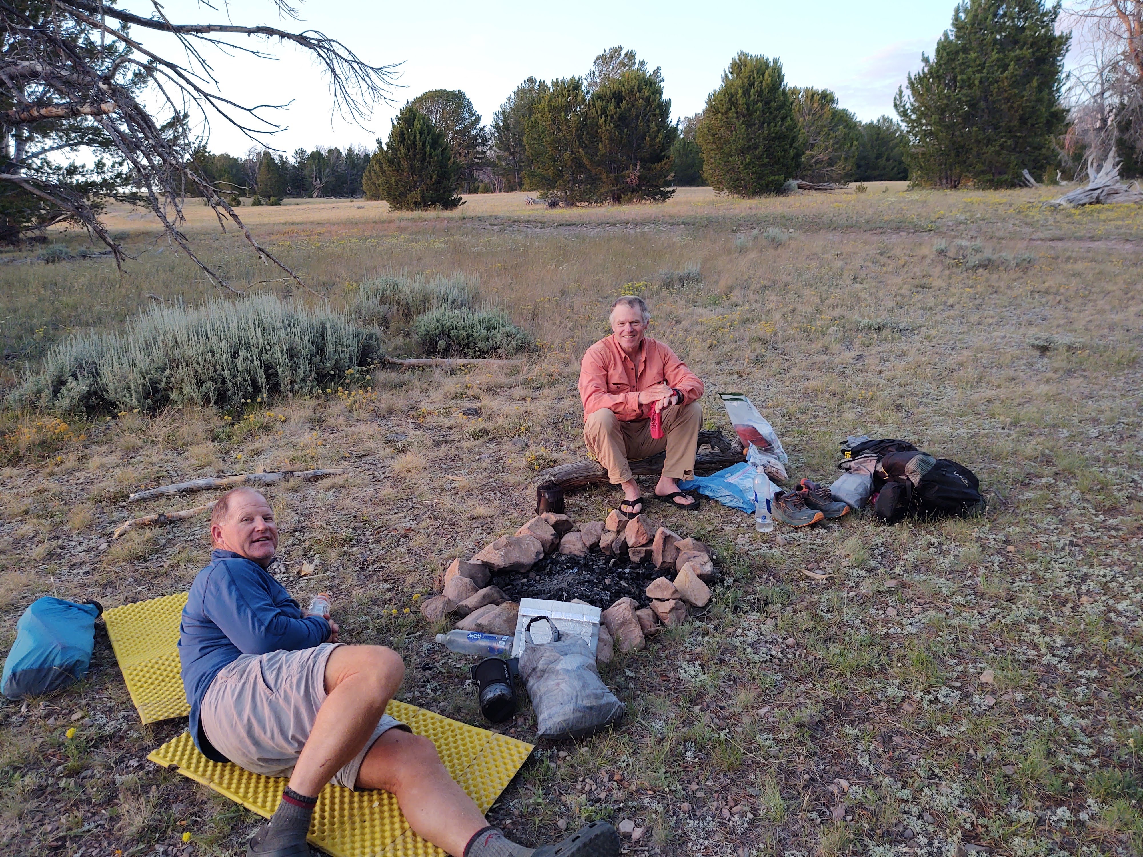
At Morrison lake we took the opportunity to bathe. Cattle lined the hilltop, watching us with curiosity, as if we were ridiculous for swimming in their perfectly good drinking water.


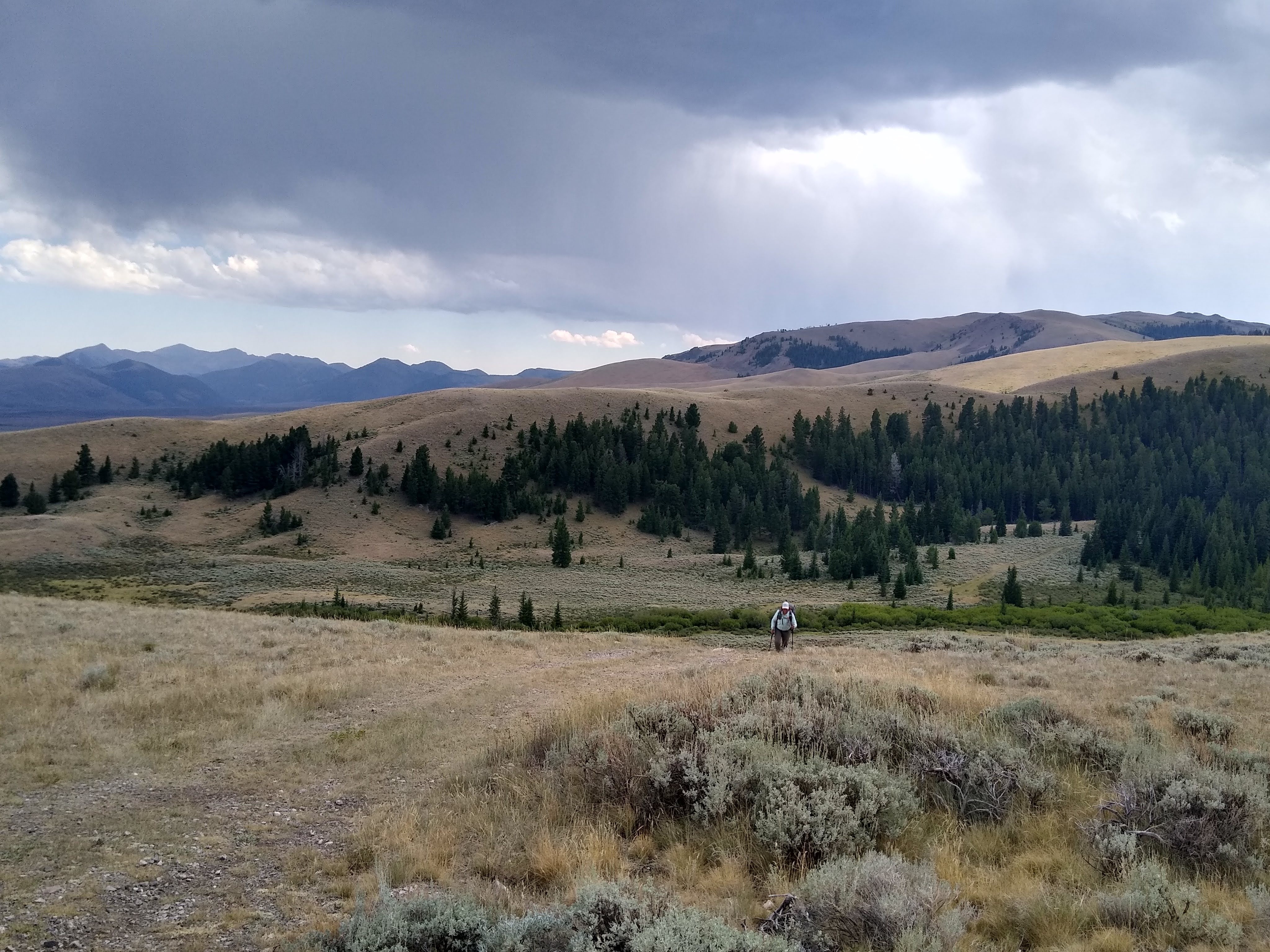
Fully refreshed and loaded up with water, it was time for the day’s end ritual. A climb of another 2 miles. While we could have camped at the lake, we decided that the we would rather make the climb in the early evening with plenty of daylight, then have to do it the following morning. Our plan was to make the climb, and then camp at the first flat spot we could find. Once we crested the top, finding a perfectly flat spot was not that easy. Even so, we had plenty of daylight, so why not push more miles. As we searched for a spot to camp, a familiar figure appeared in the near distance, walking toward us. There was no mistaking the hat, red shirt/jacket and gait. It was ERL! Last we saw him was in the Great Basin and at Atlantic City. ERL had more miles still in him, but decided to camp with us and “catch up”. We shared stories and what each of us has to look forward to as we travel north and ERL travels south, on the CDT. It was nice to spend some time with another CDT hiker. They are so few and far between.
Once the sun had set, it was time to retire to our respective tents. Morning would come soon enough.