
July 27: 17.2 miles (2079.5 – 2096.7)
As we were finishing our breakfast just after sunrise, we noticed two CDT hikers traveling south bound. They did not see us. We assume it was because they were looking at Guthook (for the spring most likely), and were also probably watching the trail tread in front of them.
We have never been on a trail where so much time is devoted to watching the ground while walking. Not even on the Klondike Goldrush, Chilkoot Trail, deemed the “meanest 33 miles in history”, did we watch our feet as much as we have thus far. Unlike the PCT, there is very little “mindless” walking here. There is no real groove or rhythm to be had. We have come to accept this. It is better to resign yourself to the mantra of, ‘The trail is what the trail is going to be’. ‘Embrace the suck’, we were warned. Frankly you have no choice.

For us though, we have coined the term, “Embrace the Brutifulness”.
I would think that at a little over a month in, that these climbs would get easier, that my lungs and legs would have finally “surrendered” to their daily regiment. Apparently my lungs and legs have a mind of their own. They somehow trick my brain to trigger thirst, hunger, pain and even a meltdown or two. They are conniving and ruthless, and often stop at nothing until they get their way. Thankfully, the eyes however, have been able to temper this rebellious pair. In fact, the eyes have even been able to “motivate” the pair, not only to keep going when they’d rather not, but also to override the brain when it tells them something is “classified” as dangerous, or outside its (the brain’s) comfort zone.
Today, the eyes prevailed.
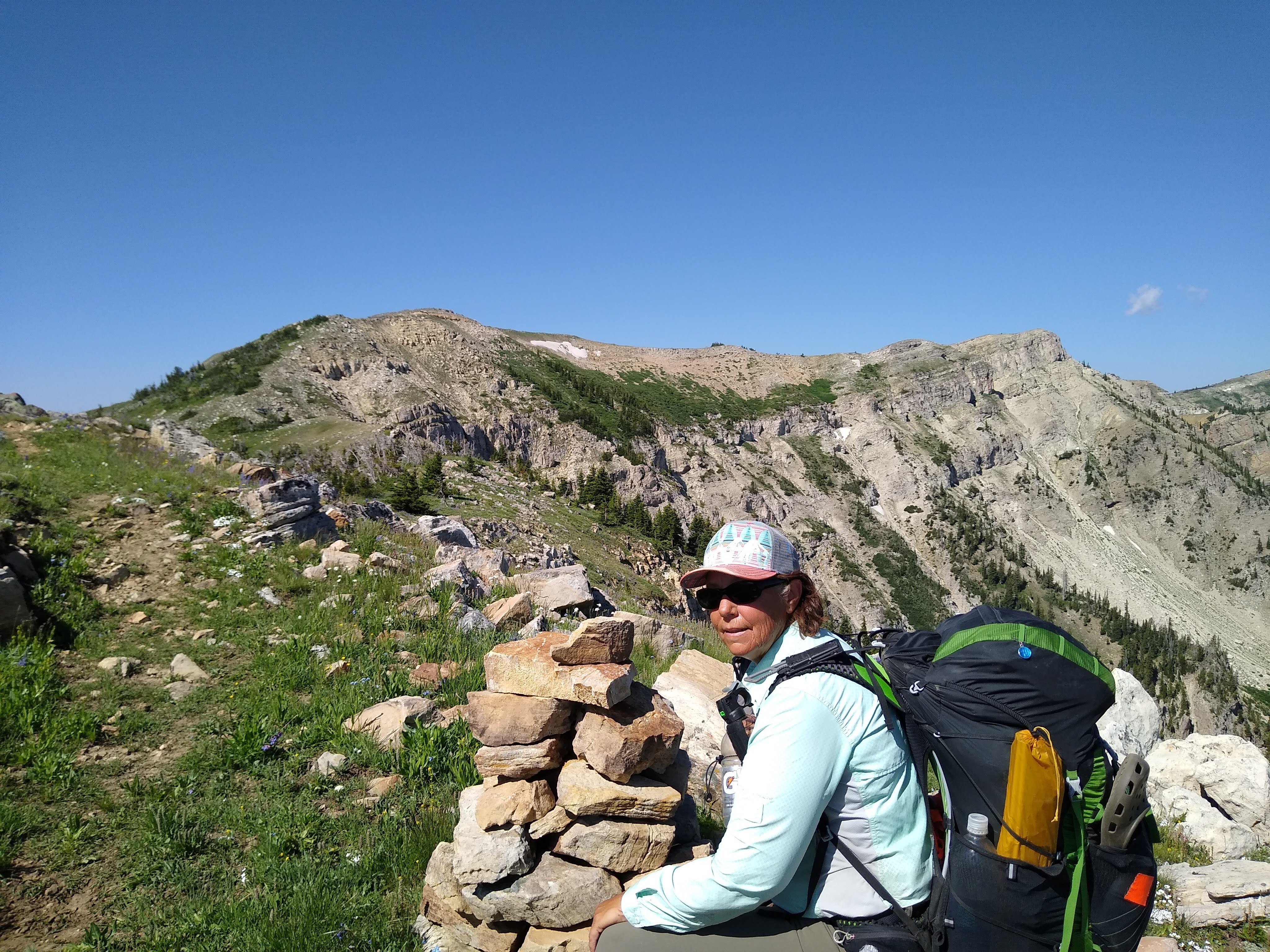


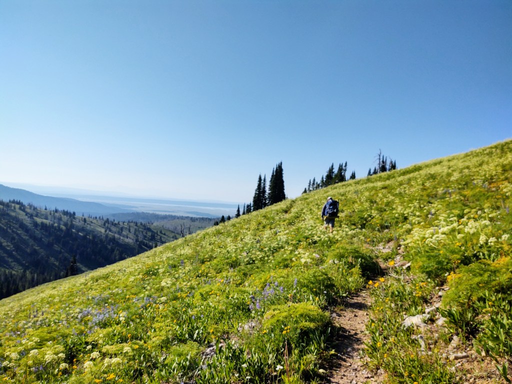
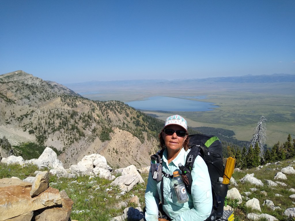
Flowers. Ridgelines. Clear skies. Being in two states at the same time (Idaho/Montana). A relatively “flat” stretch of trail with expansive views. Yup. The eyes had the legs and lungs doing its bidding, for a change. We spent a good portion of the morning and early afternoon at over 9,000 feet. Once we got to 9,000 feet, the trail followed what appeared to be a once used, and obviously hearty, graded road.
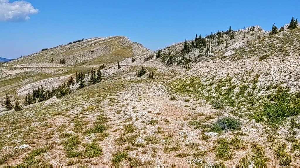
It was wide and based on its current condition, built to last. We passed by the “short” trail to Taylor Mountain.

Had we taken that, we would have discovered remnants of an abandoned ski lift, that was obscured from our view. It appears that Taylor Mountain sported a ski lift as early as the 1940’s, and from what I could find, operated from 1959-72, then 1975-79. It was promoted, along with other “small” Idaho ski areas in a 1970’s Idaho tourism promotion, “Ski the Great Potato”. Taylor Mountain was vandalized in the 70’s (I assume 73/74). Combine that with a few years of less than optimal snowfall, it obviously never recovered. Based on this knowledge, and looking at satellite imagery of the area and area road maps, I believe the portion of the trail we walked on, that appeared to be a graded road, to include the “drivable” switchbacks, was the Taylor Mountain Resort road. If anyone knows better, please let me know.
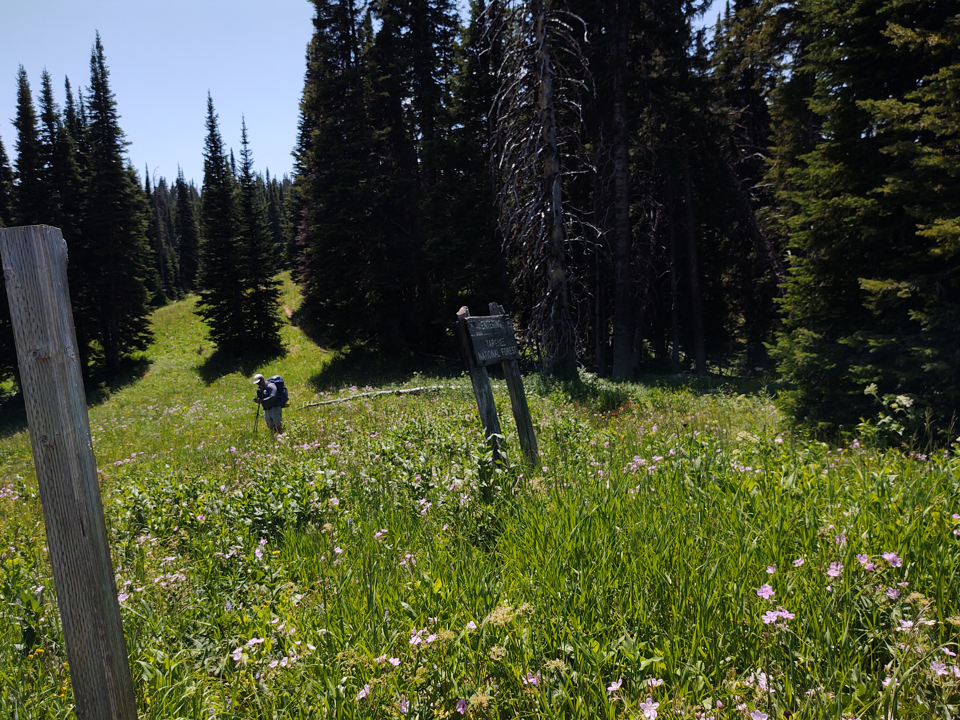
After the switchbacks, and a few miles after you pass a Targhee National Forest sign, the trail narrows. At one point the trail forks into two CDT routes. The “new” reroute of the CDT as shown on Guthook, but poorly marked, and the previously marked and “old” route. The “new” route seems to have been purposely rerouted to pass by a spring, that one used to have to bushwhack 2/10th of a mile off trail, to access it. With this reroute, it significantly reduces the mostly shade-less 17 mile water carry.
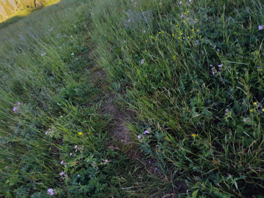
The problem is that the “old” route is still marked with US Forest Service CDT trail marker signs, and is, well, “shorter” and well tread upon, as opposed to the new route. Had we not missed the turnoff to the new route, by a mile, we would have taken the new route. As it was, portions of the “old” route weren’t particularly fun as it was fraught with “Land Mines”. “Land Mines”, for me, are soft portions of soil from recently “filled” holes and/or enormous gopher or badger holes that are obscured from view via tall grass and thick vegetation, that lie directly in the path of the trail. As my luck would have it, I rolled my left ankle in not one, but several of them as we walked “blindly” along, during a hillside traverse. Better that this happened toward the end of the day, rather than its beginning, and that the route’s views were still stunning.

From single track to ATV track, the trail led us across the border from Idaho (once again) into Montana, and across a robust flowing creek, teaming with mosquitos, but icy cold and clear.

Just past the creek, we pulled off the CDT to camp by a lone pine tree in the middle of a lumpy meadow of mules ear plants, surrounded by marauding mosquitos in what felt like super bear territory. Even in the lumpiness, sleep came quickly.
