

Morning came and final preparations were made. Packs were packed and repacked, with minor adjustments made for fit and comfort.
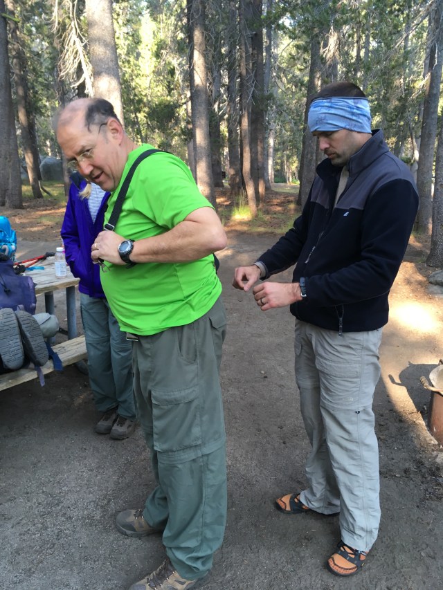
An additional belt and suspenders insured that Ken’s favorite hiking pants would not migrate past his pack’s hip belt, a problem I have myself with my current hiking pants (which I will continue to deal with as I will NOT wear suspenders, or buy new pants…they aren’t worn out enough). By 9am, Scout’s car was parked and we were on our way.

The first two miles of what we intended to be an 8 mile day was an easy hike via the old hwy 120 (circa 1940’s) trail to Harden Lake, which practically lulled us into complacency.

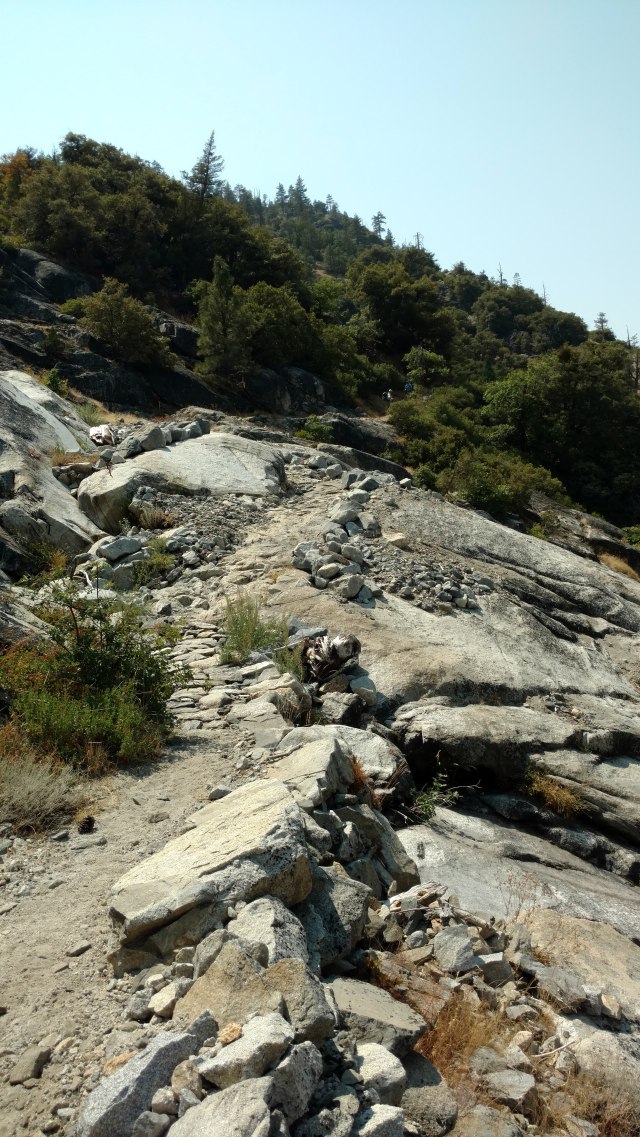
Another 2miles past Harden Lake (which looks more like a pond) with a 15 switchback, 1000 ft drop in elevation offered up terrain that changed like the frequency of a newborn’s diaper.


Soft sandy tread, to bush-wacking in the “jungles of Borneo”, to gooey swamp mud, a few dusty bouldered switchbacks (often lined with loose square “marbles”), and finally luxurious tread carpeted with soft decomposing needles left us with a mere 6.2 miles to to Pate Valley. It was 11am, and time for lunch as 5 of our group were still on east coast time. As we snacked, talk was about the upcomming descent. How hard could 6.2 miles be? Paul and I do that almost every day. Well, let me tell you, this was no walk in the park (technically it was, but you get my drift). Let’s run through the numbers. White Wolf campground is at 7875 ft. Pate Valley is at 4360 ft. This leaves a difference of 3515 ft. We had already descended 1000ft over 4 miles, so, 2515 ft over 6.2 miles shouldn’t be that bad, right? (Enter hysterical laughter).

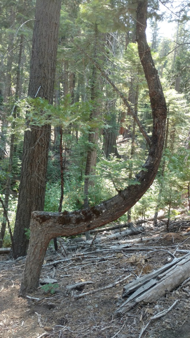
The terrain over these miles initially weaved back and forth through forested areas blanketing the upper canyon walls (complete with a bear foraging on the thimble and goose berries that flank the trail and hillsides) and then opened up to hot, dusty, bouldered steps, and approximately 104 switchbacks, of which I counted personally if only to distract me from what my feet and knees were trying to tell me. Even the trees were switch-back weary.
A quarter of the way down the 104 switchbacks was a peek-a-boo outcropping with a much appreciated breeze and view of Hetch Hetchy.
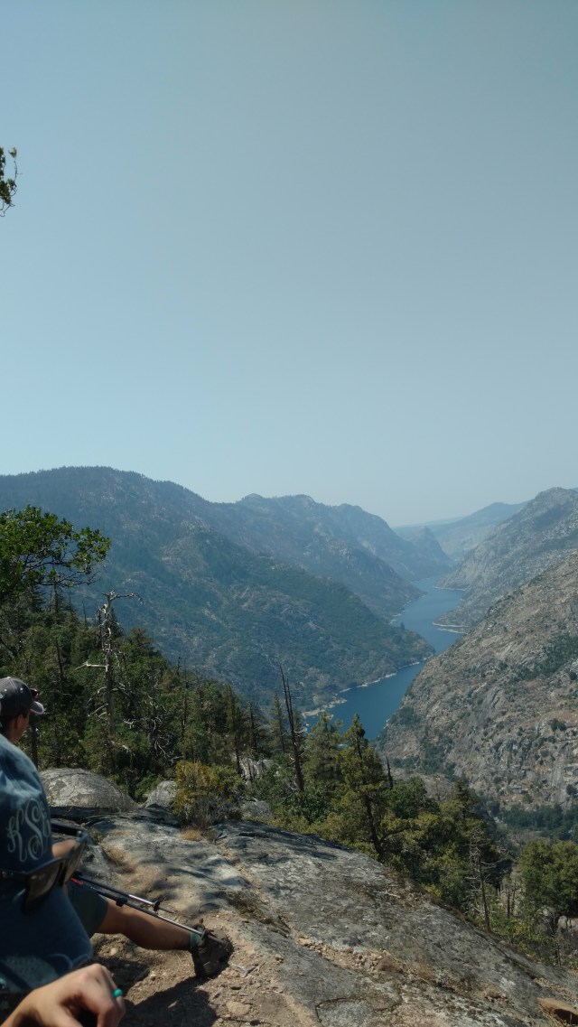
Hetch Hetchy
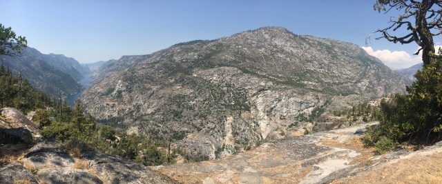
A panoramic view from our perch
This reservior that the Tuolumne River flows into and whose water serves as the drinking water for the San Francisco Bay Area, and our days final destination.

Katie paying particular attention to the LNT display
I remember the Ranger at the permit office making a particular point about that when he was going over his Leave No Trace (LNT) speel when it came to bodily waste. I couldn’t, however, help but think about the fact that they have maps/apps for “The City by the Bay” in order to avoid human waste…and you’re worried about me “relieving” myself too close to (or heaven forbid, in) the Tuolumne River. While we actively employ LNT principles whilst in the “wild”, we do so out of courtesy to our fellow outdoor enthusiasts. It’s bad enough that lions, coyotes, and bears crap in the middle of the trail regularly, so, why would we want to add to their discourteous behavior?
But I digress. Did I mention it was super hot and dry? Heat exhaustion hot!
It was reminiscent of the time we ran out of water on the PCT in the desert. Even though we studied the topo map, watched a few YouTube videos, and read up on the trail, we somehow failed to adequately plan for the scant opportunities in which to refill our water bottles, let alone take the opportunity to do so when said opportunities presented themselves (one, or three tiny times). Part of the problem was that we fractured into three distinct groups, expanding and contracting like a slinky working it’s way down a set of stairs. It seemed that when we expanded, the opportunity to collect water would present itself (in areas generally not listed on the topo map), and invariably either no one was in possession of a water filter, or we all believed we had sufficient water to make it to the next source identified on the map, which of course was discovered to be bone dry, or flowing at an uncollectible trickle. When we contracted, we’d triage and share what liquids and electrolytes we had with each other, as needed. Lingering in shadey spots, especially with perfect “sit rocks”, and admiring the expansive views became nearly addictive and detrimental to the timely progress of our decsent to the canyon of the Tuolumne River.

The little “white” spot in the middle of the green was to be our destination for the day.
Once we finally reached the “bottom” of what felt like a never-ending broken escalator, the river was still pretty much out of reach. Meaning, that you walk along a nearly 30ft elevated bank of the river for at least another 2miles before coming to a place where water is easily accessible. It’s like being starved for food and someone hands you a can of soup, but you have nothing to open it with…yet. I can say with assurity that not one video or blog we viewed talked about the potential for such a sustained dry patch, so be forewarned. So, in the later parts of the summer months be sure to “camel up” (which thankfully we had, and do as a general practice before starting each morning), and carry twice what you think you’d normally need for this stretch. Water is heavy, but thirst is heavier. At our first opportunity, off came our packs…and shoes.

Kaleb killing two birds with one river (soak and pump)
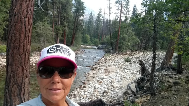
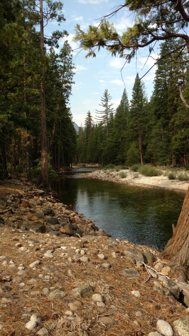
Water was consumed and feet were soaked in the glorious chill of the Tuolumne River. As the later third of our “slinky” group was still making their way down to the bottom of the canyon, it was near 5pm, and we still had a little bit more to go before we got to a proper campsite. A divide and conquer plan was drawn up. Paul and Kaleb (sans packs) would scout ahead to confirm Josh’s assertation that a “really cool” campsite was “just ahead” (as Josh had done this same hike a decade ago), and to see ACTUALLY how much further said campsite was, as Josh’s distance/time estimations are not so accurate, for our little legs. Josh would run (literally…he’s a Marine, so…) back to Scout, Ken and Pole Dancer with water, of which we were highly confident they were out of. Meanwhile, more water was filtered and all other containers were filled. Soon Josh arrived, wearing his Dad’s pack, and his dad (Ken) had taken Pole Dancer’s (as she had been just short of heat exhaustion). They were followed by Scout and a haggarded but smiling Pole Dancer, of whom I was concerned would no longer be my friend after this trip due to the excessive down and heat she had just experienced. (I had told her that this trip would intially involve a day of “down” over 8 miles for the first day, followed by a fairly “easy” trail that ran along the Tuolumne River, repleat with swimming holes a’plenty…which was at times, mostly true). Just prior to their arrival, Paul and Kaleb returned, explaining that we only had another 10-20 min walk over easy terrain to our day’s final resting spot.

We ended up approximately 2miles shy of Pate Valley, with wonderfully soft, flat and spacious surfaces upon which to pitch our tents. The day’s total mileage being 10.5 miles.

This of course did NOT match up with the mileage of the map (or metal signs), and as we would find out through the course of this adventure, it never would! However, a refreshing swim/float/drift, in/down the gently flowing Tuolumne River capped off this arjuous day, and made it all worth it.
We had an added bonus of no bugs! After our bellies were filled with satisfyingly salty and rehydrated Mountain House meals, and a handful of “Vitamin I” (aka. Ibuprofen),

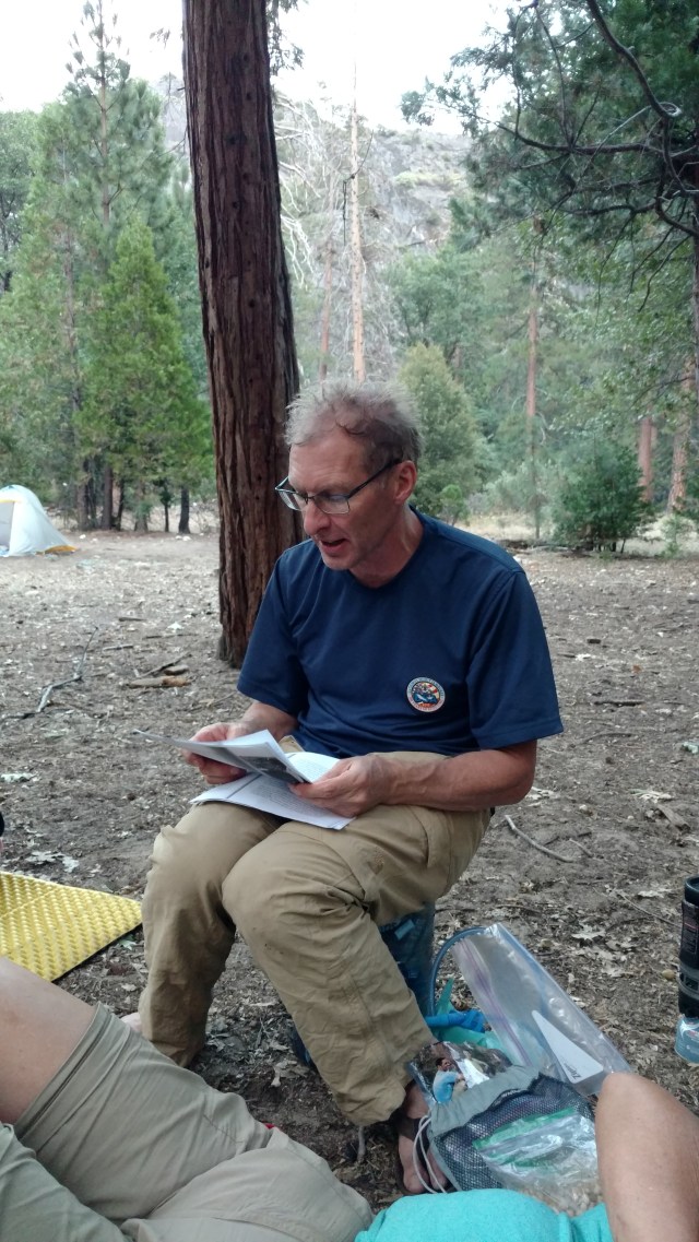
it was John Muir story time with Scout.
Bedtime followed soon after…

Memories of bedtime stories by Scout warm my heart. Cheers to adventures and storytelling. You continue winning on that front.