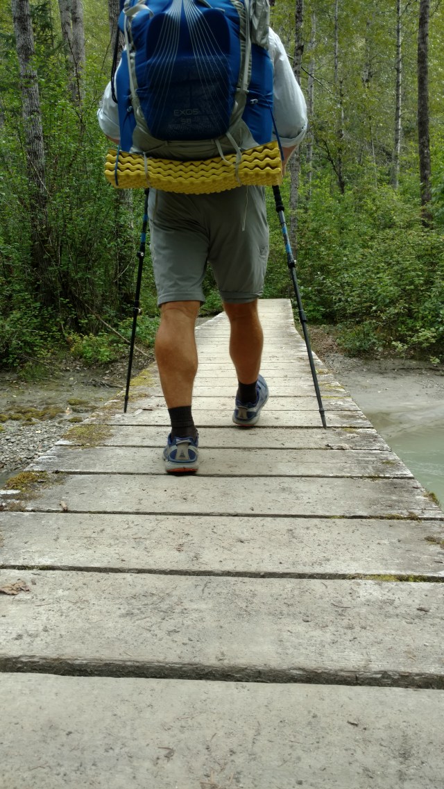
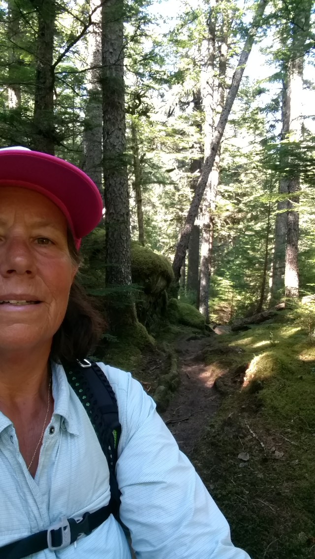
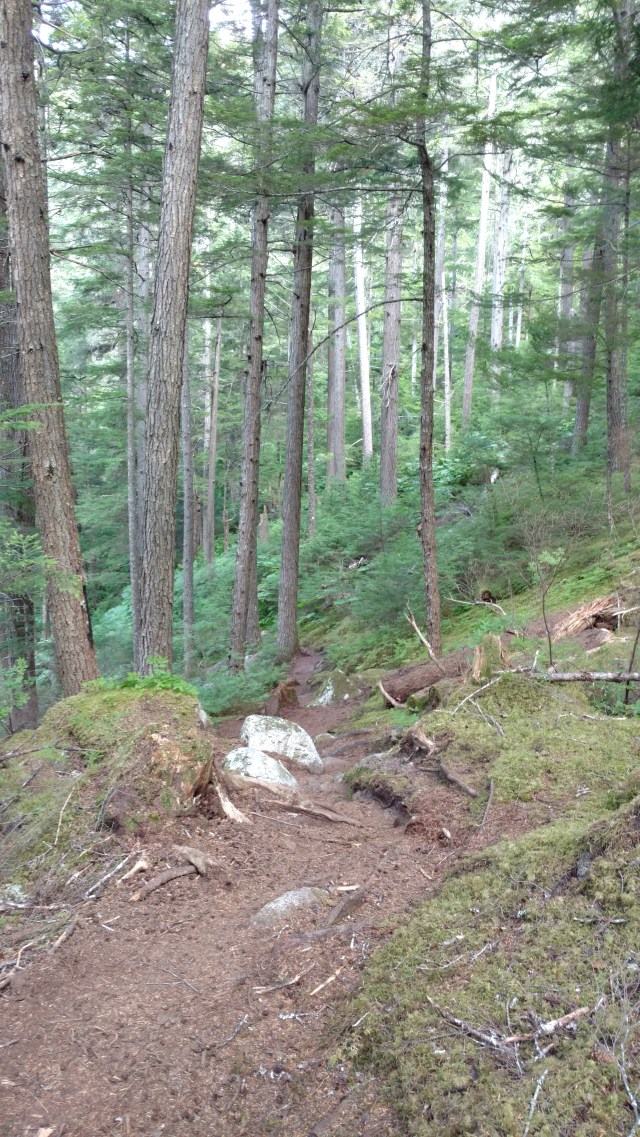
The first mile, for a clutz like me, was challenging. The tangled web of roots and rocks, insisted one pay attention to each step. It was exhausting both physically and mentally. We couldn’t help but think out loud, how the hell did one guide a mule or pull a hand cart over/through this terrain, let alone carry a hundred pounds on your back…awkwardly, 20 times! Truly we are not worthy…especially only carrying packs weighing 30 pounds…max! The obstacle course evolved into a soft and almost spongy path as it paralleled the Taiya River as we made our way to Finnegan’s Point a little over 3 miles away.

The Finnegan’s offered a bridge (at a price) in which to cross the Taiya River. This also was one of the first opportunities to part with more of your dwindling money or goods, either by choice (at a make shift saloon), or through vulturous con men.
Eventually we crossed the river and entered swampy areas, wonderfully lined by the Park Service with narrow but raised wooden walkways to make traversing these brackish beaver ponds and swamps manageable, otherwise you’d be in muck up to your hips and progress would be slogishly slow.
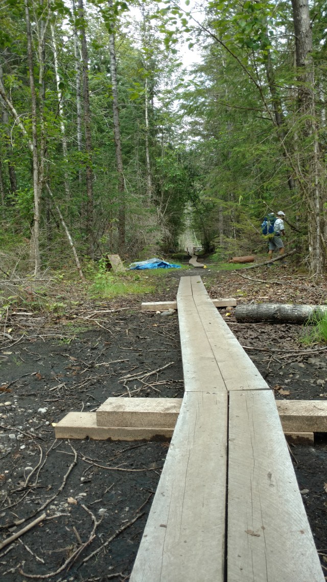
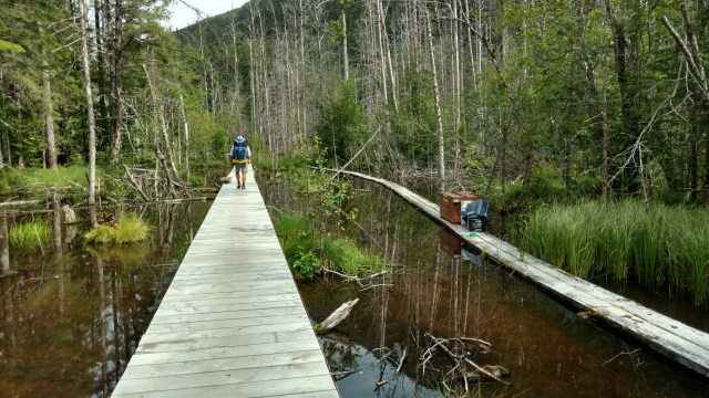
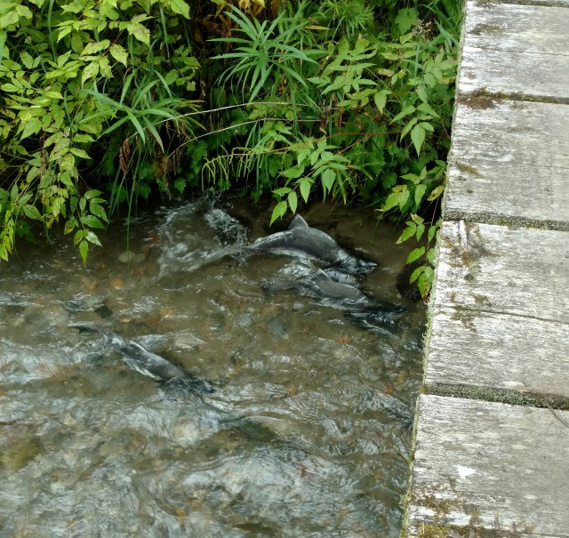
We were in luck, as the Park Service was replacing the narrow and seriously worn out wooden plank walkway with a sturdier and wider walkway. We were careful to walk in the middle of the boards as not all the planks had been nailed in place. Soon swamp returned to sponge foot fall flanked by brilliant green vegetation. Prior to reaching Finnegan’s Point we cross a stream with salmon cued for spawning.
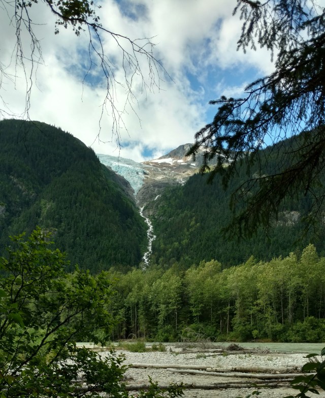
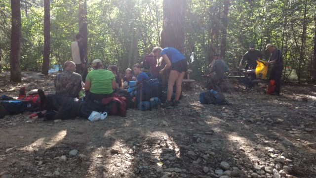
When we reached Finnegan’s Point, we found our favorite hiking couch, a picnic table, and had lunch. As did the mosquitoes and biting flies, until of course I broke out our bug spray. Shortly we were joined by a triad of Canadians, who were just as delighted by the salmon and amazed at the terrain of our first mile. We thought maybe it was a test to see if you really want to hike this route. Our destination for the day, as it was for the Canadians, was Canyon City, which of course is no longer a city, but a campground just before the once thriving and obviously short lived Gold Rush city along the Taiya River. We parted ways with the Canadians, and took a quick peak across the “Point” and were treated to a glacially fed waterfall.
From here the terrain returned to a green tunneled rock and root strewn undulating obstacle course, that seemed never ending.

Another rock-hop stream crossing, and like that, we were at the Canyon City campground. The campground was already teaming with other Chilkoot Trail hikers. Not a one had we seen at this morning’s briefing. We felt like we were crashing a party already in full swing. We also wondered what the bear activity was like, as just about everyone either had a mortar size can strapped to their side like a gun slinger or was carrying a similar can “at the ready” in their free hand. Did we miss something? Are we going to soon regret our choice not to carry bear spray? Well, nothing we can do about it now.

We quickly chose a campsite, concerned that if we dallied too long, we would be forced to camp an ungodly distance from our food, and the unique composting toilets. We were surprised when we discovered that a river side campsite adjacent the amenities was still vacant. Once we made camp we took an opportunity to admire our view.

Eventually we collected our food and “scenty” things (toothpaste, Chapstick, bug spray, etc.) and crammed them into one of the remaining bear proof cubbies of the food lockers provided by the Park Service. During our orientation, they were adamant about ensuring all food and “scenty” stuff was stored there, and that all food preparation and consumption occurred at the picnic table(s), or in inclement weather, either a canvas tent cabin or log cabin erected and maintained at each designated campground along the Chilkoot Trail by the Park Service, namely to reduce the probability of bear interactions, as well as a place to get out of the “normal” Southeastern Alaskan weather. Before long, familiar faces trickled into camp. The Canadian triad we met at Finnegan’s Point, and a family of 10 who we saw at orientation.
The youngest appeared to be 5 or 6. They were only stopped for a snack and a breather before they headed to Sheep Camp. They would be doing this trail in 3 days so that they could make the Saturday train.
Tomorrow we head to Sheep Camp, a mere 5.3 miles away. I know we only did 10 miles today, as compared to the 17 we were mentally prepared for, but we are beat! The trail was much more “technical” sooner than we imagined with all the rocky, rooty, uneven surfaces, with steep ups and downs. And as always, the first day with a fully loaded pack makes for sore hips and shoulders. A hearty freeze dried meal and a soft air mattress are calling. Oh ya, and some vitamin I (aka. Ibuprofen)

Pingback: Permitted to Hike… | 2 More Miles…
I’m pretty firmly convinced that first mile of the trail is deliberately difficult.
For one thing, the stampeders never traveled over it. They would have left from the Dyea townsite on the other side of the river and just traveled up the road (which is still there and usable). And yes, I do believe that tough first mile is meant to discourage casual hikers.
Darn, next time we’ll take the road…provided there is a next time